Deep foliage, nor canyons faze the rugged eTrex Vista HCx. Its high-sensitivity receiver holds a GPS signal in the toughest environments. Similar to the Vista Cx, this handheld navigator also has a bright color screen, barometric altimeter, electronic compass, microSD™ card slot and automatic routing for wherever adventure takes you.
Enjoy Clear Reception
With its high-sensitivity, WAAS-enabled GPS receiver, eTrex Vista HCx locates your position quickly and precisely and maintains its GPS location even in heavy cover and deep canyons. The advantage is clear — whether you’re in deep woods or just near tall buildings and trees, you can count on Vista HCx to help you find your way when you need it the most.
Oregon 300 puts the great outdoors at your fingertips. This next-generation handheld features a rugged, touchscreen along with a built-in basemap with shaded relief, a high-sensitivity receiver, barometric altimeter, electronic compass, microSD™ card slot, picture viewer and more. Even exchange tracks, waypoints, routes and geocaches wirelessly between similar units.
Touch and Go
Oregon 300 leads the way with a tough, 3-inch diagonal, sunlight-readable, color, touchscreen display. Its easy-to-use interface means you’ll spend more time enjoying the outdoors and less time searching for information. Both durable and waterproof, Oregon 300 is built to withstand the elements. Bumps, dust, dirt, humidity and water are no match for this rugged navigator.
Very minimal First aide- gauze, duct tape, Superglue, Benadryl, Aleve
Chaco’s – defintely could have left these at home, but I loved having them every day.
MSR Hiker filter
Food- up to 5 days worth, I promised my wife I’d always have 36 hours extra food just in case…
A few other small misc items…
Handlebar bag is an ANCIENT Trek bag I’ve had since I was 16 (36 now). Holds- Compass, map, hammock, rain fly. Hammock is Claytor Expedition, the best gear ever!
WIngnut pack on back- holds Sierra Designs jacket, food for the day and standard riding stuff, plus bladder. I don’t like carrying the weight on my back. This pack was never “stuffed”- and my back never hurt.
I am aware my set-up is “bigger” than most, but it worked great. I’ve noted what I’d get rid of if racing or with others. My only problem is when I’ve had to shoulder the bike across some serious water crossings, that’s a pain in the arse. Otherwise, descends awesome, handles great.
TopoFusion is a GPS mapping software written and published by bikepacking enthusiasts. It’s been used to plan, map and analyze many a bikepacking trip.
Some features:
* Topo, aerial, satellite, TIGER maps supported with automatic download
* Draw new routes and upload them to your GPS
* Talks to all Garmin GPS units
* Track management tools – merge/split/simplify tracks for upload
* Read and write GPX, TCX, KML files
* 3D support
* Free unlimited time demo version available to try.
This was the setup we used for our shakedown cruise on a portion of the CT. It consisted of scavenging for the most part from what we had on hand from all our other sports passions. There’s defintely room for lightening the load, but overall it will just be a fine tuning process. This is also geared for more moderate daily mileage, some comfort in the camp, and two people. For the 3 night/4 day trip we carried about 25 lbs each, 10 on the bike, 15 on the back, including food and water.
Tent-(spousal incentive) Sierra Designs Clip Flashlight. Possibly shave a few pounds by upgrading this with a Henry Shires tent.
Stove/cook gear – Homemade penny alcohol setup. Worked great, will use it again. One pot, one bowl, french press coffee mug, sporks.
Sleeping Pad/bags – Old 3/4 thermarest, strapped to handlebars. Old REI bags, 2-3 lb range, ~40 deg.
Water filter – Katadyn pump with a extra water bag for camp. Might look into the steripen method, or drops.
Packs – Camelback transalps. These have always been very comfortable for us, not the lightest, but lots of space to store stuff. 100oz bladder
Bike rack/bag – JanDD stock frame bag (they more or less fit), and a Zefal seatpost rear rack. No complaints on either. (the tent strapped on my rear rack).
Miscellaneous – For an early fall alpine trip we carried a down jacket, long underwear, biking shirt and shorts/zip off pants, light rain pants/jacket, spare socks, undies, balaclava, warm gloves. GPS unit, camera, SPOT unit (another spousal incentive), bike tools, pumps, spare zip ties, straps, spokes, plastic bags, tubes, sunblock, chainlube, first aid kit, toiletries, and I’m sure some other stuff that I don’t recall offhand.
Learning points – Overall not too many,…. butane lighters don’t work above 10k ft, check old matches to make sure they still work before hitting the trail, don’t skip on chainlube and have the appropriate chain lube for the worst conditions you might encounter, i.e., the dry lube I normally use (and brought with) didn’t do much for chainsuck on our last day of riding in the mud, the SPOT GPS units really do give you piece of mind and it’s kind of fun to connect with friends/family on where you are (and that you’re ok), …and most importantly, counting the ounces before the trip really does make a difference once on the trail.
This compact (3″ x 4″ x ¾”) , lightweight (3.25 oz.) fold down pocket size stove is an extremely efficient cooking appliance designed for a wide variety of uses in the outdoors.
Details:
* one Esbit cube will bring 1 pint of water to a rolling boil in less than 8 minutes.
* easily lights with ordinary wooden matches – -can be extinguished and saved for re-use.
Additional Information
Weight: 3.25 oz
Area/Dimensions: 3x4x¾ in
This is just an example of an Esbit stove. This review is meant to cover the general use of Esbit cubes for cooking, no matter the stove used (all designs are pretty simple).
Please rate this product: (no login required) (103 votes, average: 3.17 out of 5) Loading ...
Our Fast & Light® version of the Dromedary™ Bag. DromLites are built light but tough with “MSR® red” 200-denier Cordura® and now feature a low-profile handle for easier filling and carrying.
* Tough: Made with rugged “MSR red” 200D Cordura.
* Light: 30% lighter than Dromedary Bags.
* Easy to Fill/Carry: Ergonomic handle makes filling and carrying bags easier than ever.
* BPA-Free
2 Liter
Dimensions: 8 x 16.5 in. (20 x 42 cm)
Weight: 4.6 oz. (130 g)
4 Liter
Dimensions: 10 x 19 in. (25 x 48 cm)
Weight: 5.1 oz. (145 g)
6 Liter
Dimensions: 11 x 22 in. (28 x 56 cm)
Weight: 5.7 oz. (162 g)
Our great backpacking dry bags just got better with the introduction of the Pneumo LTW. We kept all the features of our benchmark Pneumo dry bags; welded construction, roll top closure, compression purge/fill valve, and added weight savings with the introduction of a new 40Dx30D ripstop fabric and a refined closure. We shaved a full 1.5 oz out of the 15L size alone! 5 sizes to fit whatever you may be packing.
Please rate this product: (no login required) (10 votes, average: 3.10 out of 5) Loading ...
ALOKSAK® are resealable element-proof storage bags designed for a wide range of applications and environments. The transparent bags are flexible, airtight, watertight and puncture resistant. They come in multiple sizes and can be sealed over and over again. The unique materials, closure systems and manufacturing techniques are all protected by patents and meet the most rigorous testing standards.
The uses of ALOKSAK and our are virtually limitless. Submerge a camera for underwater photos. Protect toiletries from leaking during travel. Dispose safely of human and hazardous waste. Eliminate freezer burn on foods. For both everyday and emergency uses, ALOKSAK can be counted on to retain their contents and repel the elements–time after time.
Please rate this product: (no login required) (22 votes, average: 3.14 out of 5) Loading ...
Boil Rate: 2 cups of water in 5 minutes, 17 seconds on less than 1 ounce of fuel at sea level, 5 minutes, 7 seconds at 14,500′ msl.
Fuel: denatured alcohol
There are over 22 steps taken to prepare and assemble this alcohol stove using special tools, jigs, and assembly techniques I have developed to ensure consistantancy, quality and performance. After making hundreds of these alcohol stoves, I have settled on this design as the best combination for fuel economy and performance. I have made over 5,000 of the Tin Man stove to date!
Don’t be fooled by the size and construction materials. These alcohol stoves are very rugged. This alcohol stove has no moving parts to wear out or break down. The construction process involves using high temperature epoxy to seal the pressure chamber. There are no slits on the side to weaken the alcohol stove and cause potential leaks like you will find on other designs. The top and bottom pieces are sealed with 600 degree epoxy and are safety taped. I have never had a leak with one of these alcohol stoves.
The pepsi can alcohol stove is designed for denatured alcohol only. This is a readily available fuel that can be found in any hardware or paint store and at many outfitters like those along the Appalachian Trail. Rubbing alcohol works poorly and is not recommended because it contains 30% water and just will not perform. Due to the location of the burn holes you can place your pot directly on the alcohol stove – without snuffing out the flame – thus eliminating the need fro a pot stand.
Strapped to a rear rack (Sherpa) is a waterproof OR compression sack containing:
Marmot Pounder 40deg synthetic bag.
Thermarest Prolite3 pad.
Knickers w/ boxers for camp time.
Cook kit: .8L Ti kettle
MSR PocketRocket Stove
small JetBoil fuel canister.
Lexan spork
1/2c measuring/drinking cup.
mini Salt & Pepper shaker
spare spokes taped to rack.
small ‘Bento box” style frame bag behind the stem for ride food.
saddle bag w/ tube and CO2’s w/ shooter.
Mtn Hardwear bivy sack strapped to the bars.
In the Camelback HAWG:
Pump
shock pump
multitool
chain tool
extra links of chain
couple chainring bolts, spare half link, spare qwik link
patches.
spare set of brake pads.
pack of misc nuts & bolts.
SOG leatherman-ish tool.
chain lube.
zip ties.
spare strap or two
duct tape around tooth brush handle
bandanna (w/ glow in the dark constellations!)
Water purification elixer.
small bottle of soap.
small container of chamois butt’r
limited first aid kit.
toothbrush & paste.
eye/contact drops
fire starter sticks.
pak towel
Princeton Tec EOS head lamp
TP
100oz bladder.
food, at least something for a dinner & breakfast, plus extra ‘ride’ food.
Loaded bike, w/out water bottles is ~35lb.
Camelback Hawg w/ 100oz of H2O is ~14lb.
Clothing is pretty much seasonal, right now in the fall, I’ll be stashing a down jacket and heavy base layer bottoms into the compression sack along with a wool cap & socks in the backpack for the nighttime. Figure I’ll normally be carrying a mid wt top and rain jacket w/ either shorts or knickers for off bike time. Don’t plan on riding tours into the real cold weather, got skis for that.
Would like to refine the packing a bit, and move the bike repair bits down into a frame bag of sorts. Get that weight off my back and open up more room for food. Also plan to get in touch with CDW about some frame bags, but wanna log some more rides to figure out what I’ll actually need vs want….
My bikepacking started 6 years ago when Steve Becker and I rode a section of the Colorado Trail to Durango. I used an Old Man Mountain rack with Arkel Panniers on my Moots YBB. The whole setup was the best I could do at the time but proved to be heavy and awkward.
Later, with more experience when Scott Morris and I rode the AZ trail I used the Old Man Mountain on my Moots but without the panniers. The load was secured to the top of the rack.
Last year I decided to make my own rack to fit my full suspension Lenz Leviathan. Full suspension bikes are a greater challenge. After several pretty laughable attempts and a few fiascoes during the rides (thanks for your patience Mike and Scott) I did come up with my own design which has worked very well. I did have a lot of fun designing, and testing and refining the rack.
Now in the quest for an ever lighter rig my thinking is to try the new generation of seat bags. It’s in the works. More later..
* Reflects up to 80% of radiated body heat
* Thermo-Lite non-woven fabric is waterproof and windproof.
* Ultralight, warm weather sleep system to 50F.
* Ultralight stuff sack allows you to store the bivvy before or after use.
Size – 1600 cu in
Weight – 22 oz
Bladder – 110oz (not included)
1. Constructed of DimensionPolyant Sail Cloth, a lightweight, abrasion resistant, waterproof fabric normally used for technical sailing applications.
2. Compression Lacing System accepts helmets, jackets, and any other equipment you need to stash quickly. Keeps load from shifting, whether pack is filled to capaciy or not.
3. Sidewings wrap around body for secure fit without shifting, or riding up. Wings each feature a zippered pocket and a large mesh drop pocket. Both are accessable while wearing the Adventure. (Patent pending)
4. The Adventure, like all our hydration packs, features the Lowrider System: a fully customizable harness system designed for cyclists. Fits any body type, and can be worn in any configuration, high or low. (smaller size straps available)
5. We mount our hose ports low on the pack so that the hose is routed beneath your arm. This points the nozzle directly at your mouth, eliminating the need for a bulky, 90 degree valve.
Please rate this product (no login required): (45 votes, average: 3.44 out of 5) Loading ...
This spacious panel loader will carry all you need for a day of fast paced fun or a serious adventure race. A large mesh lined slash pocket keeps valuables separate and organized.
Colors available: Spicy Chili, Moonlight Blue, Acid Green
Talon 22 Features
Blinker Patch
Hipbelt Pockets
Hydration Slot
Stretch Woven Front Pocket
Stretch Woven Side Pockets
Tow Loop
Carousel Design Works was an early pioneer of rackless bikepacking. They hand sew an array of bags designed to get weight onto the bike, but not on a rack.
* Weight: 1 lb. 15oz. / 880 gr.
* Weight limit: 200 lbs.
* Suspension System: 1450 lb. test Spectra reinforced ropes with tightly braided polyester covering
* 42″ long and 1″ wide webbing straps called “tree huggers”
* Hammock dimensions: 100″ x 48″
* Hammock fabric: 70D nylon taffeta, 160 x 90 high count
* Canopy dimensions: – a parallelogram with – long side = 92″ – short side = 65″ – long diagonal = 122″ – short diagonal = 105″
* Canopy fabric: 1.1 ounce 30 D silicone nylon
* Mesh: 1 ounce 20 D polyester No-See-Um netting
* Stuff sack: Logo and set up instructions printed on ripstop nylon bag
* Set up time: 2 minutes
* Packed size: 5″ x 10″
* Suggested retail price: $189.00 US
Tarptents are ultralight, mobile shelters that shed everything from flying bugs to summer snow. Elegant and airy, Tarptents set up virtually anywhere. Designed by and for the outdoor enthusiast, Tarptents keep you dry and sane no matter the elements. Made in the U.S.A and constructed of the lightest and highest quality materials available, Tarptents let you focus on the joy of the journey, not on the pain of getting there.
A beautiful summer bag that is as light as a feather. The Highlite utilizes box construction with sewn through cross stiching for maximum down control. Western has utilized ExtremeLite fabric and a half length zipper to reduce the weight. This weight savings does reduce the durability of the bag. Western’s Ultralite bags are meant to be used by experienced people who are skilled in the care of their equipment.
Please rate this product (no login required): (49 votes, average: 3.20 out of 5) Loading ...
The Phantom 32 is a really light, warm and compact two-season sleeping bag. The Phantom 32 is built to a snug mummy fit from Superlight 15 denier fabric and insulated with 800-fill down.
* Temperature Rating: 32°F / 0°C
* Insulation Material: 800-fill Goose Down
* Shell Material: Super Light 15D Ripstop (with breathable clear pu)
* Liner Material:20D Nylon Taffeta
* Length:78″ /178cm
* Shoulder Girth:60″ /152.4cm
* Foot Girth:38″ /96.52cm
* Weight:22.683oz / 642.577g
* Comfort Footbox follows natural foot position for maximum warmth and comfort
Please rate this product (no login required): (68 votes, average: 3.29 out of 5) Loading ...
The Cold Springs and Sherpa mount to your brake bosses and axle. This design allows them to fit nearly any type of frame including frames: without rack eyelets, with small rear triangles, with disc-brakes, and even with rear suspension.
The Sherpa Rear offers the same versatility as the Cold Springs in a minimalist package. Popular for its lack of a load-stop at the front, you can pack it’s top shelf with those extra long items (tents, baguettes, etc…).
Please rate this product (no login required): (92 votes, average: 3.58 out of 5) Loading ...
Marmot precip jacket
PI arm and knee warmers
random first aid and repair items (zip ties, chain link, tape, etc)
camera
toiletries (toothbrush, etc)
200 oz bladder
Katadyn Hiker water filter
lightweight running shorts (for camp / town)
Mucho food (~3 days in this case – there ain’t much in the way of “civilization” out in the Gila)
On body:
Long sleeve tech shirt
PI shorts
Smartwool socks
gloves, helmet
On bike:
Thermarest prolite 3 (short)
Garmin eTrex Vista CX
In frame bag – bike tools, pump, 2 tubes + 1lb Twizzlers
In seatbag (made by Carousel Design Works):
Western Mountaineering Highline ~40 deg bag
adventure medical “emergency” bivy
Mountain Hardware rain pants
I use a standard shimano 4-bolt crank. Actiontec and Boone both make 20 tooth chainrings that just barely fit and work quite well. That takes care of the front end.
On the rear, Actiontec just this year started producing single 36 tooth cogs. You use it with any regular cogset (I’ve used both Shimano and SRAM) but take out one of the smaller cogs. You have to experiment a little bit with which combo of cog taken out and spacers put in works, but I have it working on two bikes at the moment.
I’ve always been a big fan of lower gears, especially on a 29er, and especially when bikepacking. Throw in the extra gear, throw in a few days fatigue and it can easily mean the difference between walking and riding.
notes:
No tent, no stove.
This is for a high desert tour where water is scarce, at best. For other trips I would tweak some things, like the water filter and perhaps clothing choices. In CO, or if expecting significant rain, I’d bring a tent footprint tarp. If racing… well, that’s a different story.
Mike Curiak and I continue exploring the Continental Divide Trail (CDT).
The original plan was to restart where we left off — Bannock Pass. But given that our daily mileage limped along in the 30’s, we didn’t have enough time to complete the trail as planned — and ride back.
Somehow the plan morphed into starting in Jackson (Montana) charting a new course for the first section reported to be “primo” by my route research. We’d skip ~50 trail miles and loop from Jackson instead.
So we drove from Lima to Jackson and stayed in the lodge. I think the hot spring is the only thing keeping Jackson alive. I took a dip and it was revitalizing for my hike-a-bike sore feet and calves.
I spent about an hour in front of the forest map the lodge had on the wall, right next to the bar and posted above a pile of kiddie toys. I should have spent more time studying it–a painful map error was in my (our) future.
Day 5 – Crags and a first for MC
We gathered food and changed a bit of gear before setting off in the morning. Once again it was 10 miles of pleasant and easy dirt roads to get into the thick of things–the perfect warmup for a day of climbing steep singletrack.
We rode south and west out of town, past Miner Lake and following Miner Creek. Immediately it was clear we were in completely different country. Even at 7000 feet the sage gave way to lodgepole pines. It felt more like Colorado at 10’000+.
Dirt road eased to 2-track, technical at times. Lava Mountain Trail on the GDMBR was the closest parallel.
Just before joining the CDT we met a couple on a horse packing trip. They were just wrapping up a 7 day stint on the CDT, from Chief Joseph to Miner Lake. First they thought we were on a day ride. They refused to believe that we we were headed to Chief Joseph Pass.
“I’d really like to hear about it, if you make it. What about the rock slides, the talus? You wonder whether it’s even safe to take a horse up there.”
I wonder too. Bikepackers, on the other hand, can always walk (and we often do). If it’s “safe” for a hiker, it’s safe for us.
I asked Mike if he wanted to turn around, given their warning.
As we climbed I was delighted by familiarity. I’d never been here before, but deep memories were firing.
I spent a summer as a wilderness ranger for Salmon Challis National Forest. We worked in an area known as the Bighorn Crags, and I spent most of that summer wishing I had a bike to explore the wilderness.
Looking at photos and reading trip reports can only jog your memory so much. What about the other senses? There’s nothing like being completely engulfed in it.
At last, I was riding in Crags-like terrain.
And that is most definitely a good thing.
Cresting one saddle it was hard to believe there was a trail through these rugged mountains. With its twisted trees, sheer faces and crystal lakes any old trail would do, no matter how unrideable. But this trail went beyond rideable, well into the primo category.
A virtual playground for bikes. The kind of trail, and day, that you hope never ends.
The afternoon waned as we passed Lena Lake, another picturesque cirque. It was hard to believe, but from here the trail got even better. Beautifully constructed contour trail took us to the Slag-a-melt drainage.
I passed Mike here where he had dabbed on a techy section that seemed like it shouldn’t have given him much trouble. He went back to try it again and proceeded to slice his rear tire’s sidewall.
I was waiting at a small pass, observing a family of grouse. I rode back down find him pulling dozens of goatheads from his tire (from Grand Junction, not here!). No more tubeless for Mike.
The trail lost its wilderness feel; the climb up to Slag-a-melt lakes was an ATV trail. Roots were exposed and gone were the contouring grades. Still a great, challenging climb.
I stopped to filter water at a creek. When I followed Mike’s tracks they went to lower Slag-a-melt lake, where I found him gathering fire wood.
!?
It’s 6:15p. Sundown is in ~3 hours. This is unprecedented! Mike stopping early?!
Everyone has a ‘down’ day every now and again. I wanted to keep moving through this incredible terrain. But camping next to an alpine lake had its appeal as well and the trail would be there tomorrow. I found some middle ground by ditching my gear and pedaling to the upper lake, then to the pass above both lakes.
I saw the same deer twice, eating from the same meadow. More old memories were not-so-subtly jogged as I pedaled the perimeter trail of the upper lake, evening light dancing on the peaks above me.
The wind blew throughout the night, but my tarp kept it off my face, and without the sage/cow allergies I actually slept much better than previous nights.
Day 6 – Pinky woes and berries
It was different to know something about the trail ahead, at least for a short while. With ‘rested’ legs I enjoyed the climb more than I had the previous night, unloaded.
The uber-switchbacks on the descent didn’t disappoint.
For the next 10 miles magical singletrack continued unabated as we traversed just below the continental divide: grin inducing descents, rapid fire switchbacks, rock monster challenges and the bikepacker’s favorite: contouring singletrack.
For a mile the trail held a contour at almost exactly 8700 feet. Lovely.
We gained the divide at a small saddle. Here began a colossal descent into the Idaho.
It started innocently, then got progressively more rocky. The picture taking was good, as Mike and I alternated setting up shots while descending talus laden slopes. I hopped off the bike on one switchback after rounding it only to have the front tire become wedged.
One switchback later Mike stopped to take a photo and somehow got caught on his bike. I heard “oh shit!” and witnessed the “crash” from above, though it was difficult to tell exactly what happened.
“Are you OK?”
“Yeah…”
(pause)
“I broke my finger.”
Even from 60′ above I could see something was wrong with his pinky when he held his hand out. It was dislocated, but he was able to pop it back in, as I had done with my pinky some years ago.
At this point I began thinking about bailing options, but I don’t think thoughts of that sort were on Mike’s mind. He drained the adrenaline by continuing down the challenging trail, myself trailing him.
The plummet to Idaho proceeded to turn to super chunk. I’ve seen few downhills that keep your heart rate so high and require so much focus. I’d ride until my concentration failed, pulling off the trail to let Mike by. He’d then reach his limit and wait for me to pass further down.
Down. Down to fifty six hundred feet, the low point of the trip.
How Mike was able to ride with a broken/dislocated finger is beyond me. But he made no indications that it was going to be an issue at all. The trip must go on! A broken finger is just a bump in the road for Mike.
lunch at an old cabin
The less said about the climb back to the divide, the better. Except this: it was lined with berries, giving us the perfect excuse to take a break from the incessant bike pushing.
Singletrack awaited us on the divide, and it was tasty. Not a steep grade to be found. Midway we came upon a southbound section hiker, John, from the UK. We had a great chat, and he sure seemed to be enjoying his time without many concerns and definitely without any worry over pace.
At Big Hole pass the CDT becomes an ATV trail. It started out well enough. For 2.5 miles it was reasonable, traveling through mellow ups and downs. Soon enough the classic divide roller coastering began, and glancing at the maps and GPS didn’t yield much enthusiasm for the trail ahead.
I had a GPS line down May Creek Trail, but conditions were unknown. I could find little reference to anyone using it. So there was a possibility of good trail there, but we’d spend the rest of the day pushing to get there.
After pushing retardedly steep pitches to 7700 feet I stopped at the crest of the fall-line descent and voiced what we’d both been thinking. (Heading back to Big Hole Pass and taking dirt into Wisdom, saving some time to explore the Pioneer Mountains).
“Speak now or forever hold your Big Hole…”
We turned around and never regretted it. The roads from Big Hole were a nice cruise for a while. But I made a deplorable error at one junction.
Two roads led to highway 43. One was labeled a mile shorter than the other, but started out with a gentle climb. I ran through both on my GPS and hastily decided on the shorter one, thinking it was the main travel route, and all downhill.
My reasoning isn’t that important. We would soon name this road Retardo. It didn’t continue to gently descend Ruby Creek. It kept climbing away from it. Hundreds of feet above, each foot of elevation gain was an insult. Sun setting and restaurants closing, we were burning good time.
Finally on pavement, I rode away from Mike’s slow/heavy tires, occasionally stepping on it to make Wisdom by 9pm. I tried not to notice the other graded forest road entering the highway and how it would have saved us several miles and many a minute.
Still, it was a nice, crisp evening to be pedaling. It didn’t feel much like a tail wind, but there was something surreal about pedal mashing into town, dimly lit and blue, at 18 mph. Almost felt like I was going too fast. The restaurant on the other side of town still said open, and though it was 9pm the staff graciously cooked us up a couple of burgers.
We crashed out in the motel across the street.
Day 7 – Shredded tires and other failures in the Pioneers
We pedaled over to the Forest Service office @9am to obtain a forest map (such a map would have been proof against my map blunder the previous evening) and hopefully some trail beta. We found both, and a few trail routes back to Jackson were proposed.
The straightforward route sounded too easy, and though we had no info on connecting trails, the climb up Odell Mountain was rumored to be of quality.
It was. But a short distance up the trail Mike’s chain slipped.
“I don’t think the scenic route is such a good idea with this tire.”
He counted 7 sidewall cuts, with several showing tube.
“I’ve got a park tire boot.”
“Do you have seven of them?”
He tried some booting, but eventually resigned that his tire was done. It was highway time for him. This was definitely a rare trip for Mike. Usually over-prepared and unflinchingly steady, the CDT had seen him crash, injure a pinky, stop before the sun went down and now bail on good singletrack due to a bike issue. Doesn’t sound like the Mike I know, but everyone has their moments, I suppose.
I continued up the trail, hopeful that I could punch through the Pioneers and make it to Jackson by nightfall. Worst case I’d camp somewhere and meet Mike in the morning.
The climb was brilliant–a perfect blend of technical challenge with contour respite.
I dabbed a lot, but never walked more than a few feet at a time. After climbing about 3000 feet my legs were burning. The trail began contouring around Odell Mountain, and each time it entered a meadow there was zero sign of where to go. No CDT posts to look for, just blazes on far distant trees.
I’d head in a general contour, doing everything I could to prevent a dab (the meadows were full of running water and quite wet). Then I’d search up and down the meadow for a blaze or any sign of a trail.
This worked well until I got to the junction for Stewart Meadows. Good trail looked like it continued to Odell Lake. But twenty feet down my intended route I lost the trail. When alone I don’t trust my eyes, having only one pair, so I retraced my steps on the trail and considered all possibilities.
No, no trail. Keep going.
For whatever reason, that’s just what I did, kept going. I did find some blazes, and some pieces of rideable trail. But each meadow was increasingly impossible to decipher.
To my astonishment, I found orphaned pieces of roads. I’d get excited that I found something that was going to whisk me away to the Martin Mine (my next waypoint on the route). But 200 feet later there was literally no sign of the road anymore.
Eventually I was above the mine (per GPS) and standing in a glorious open meadow. Logically I should have turned around long before this, but adventure called and I pointed the bike down and held on. Rolling steeply through high grasses gave an uneasy feeling, but soon I found a bit of trail and some signage at the upper end of the mine.
The lone trail sign pointed me downhill, following the road that once went to the mine. Out of the meadow it was swallowed by the forest, including huge piles of downed trees. I searched for alternate lines or something I was missing, but there wasn’t much.
I had dropped far and fought hard just to get where I was. I thought I was long past the point of no return. Yet still I continued. I pushed through a half dozen log jams, hopeful of improving conditions. If I could just get down to Stewart Meadows, some 2 miles away, a vague but known-to-be-traveled route awaited to take me to Jackson.
I stopped and realized that not only was this descent unlikely to improve, but it was going to burn all my elevation. At best it was going to be a rideable, rutted road. The thought occurred, “I could be descending that wonderful trail I climbed.” Yeah, it’s going to suck to go all the way back, but it’s known suckiness. And there was a guaranteed reward.
So I turned around, and never regretted it. On the way back I stayed closer to what I think is the actual trail, but it was faint, and impossible to follow in the meadows.
The descent, as expected, was blissful. I stopped a few times for snacks at creeks, just to prolong the rocky mayhem.
I rolled back to Wisdom, en route to chocolate milk at the mercantile. The owner knows the area and despite careful explanation of what I had tried to do, he was convinced I had missed an obvious trail up there. I could only shake my head. Finally he asked which trailhead I had started from and the light bulb went off. “Oh, you went way up there?! No wonder things were so hard. Yeah, nobody goes that way anymore.”
The ride back on the highway was a mere formality. The wind was not favorable, but I put in my ear buds and the tunes and memories from the trip flowed. I found the ride back to be highly enjoyable. I wouldn’t have traded it for anything, perfectly happy to be where I was.
The views were big. There were few cars–even a couple of fellow cyclists on the road (one about to wrap up a trans America route). I’d gaze over at the divide and remember how good the riding was and how beautiful it was up there.
I flew to Salt Lake City. My bike was waiting, shipped DHL to my parents’ house. 24 hours later I was in MC’s ‘E’ as we fought Wasatch front traffic, en route to Montana.
Lima, Montana is a classic stop for CDT hikers and GDMBR (divide) cyclists. We were about to become divide cyclists ourselves, for a short time. But ours was a different caper. The CDT is a hiking trail, and few cyclists have laid tire to it. Several locals (thanks Greg, Corey and John) were able to give us some clues, but as far as anyone knew, we’d be exploring new terrain as far as mountain bikers are concerned. (Both Mike and I have completed the dirt road GDMBR, and Mike held the record at 16 days for some years).
Part of the motivation for this trip was that the CDT is not currently wilderness for 200+ miles along the MT/ID border, yet new wilderness areas are being proposed. There’s also the danger that cyclists may lose access to non-wilderness areas of the CDT. That would be a shame, and our trip just reinforced why. There’s some fantastic riding on the CDT.
Day 1 – Lima to Deadman Lake.
Ten miles on a dirt road brought us to the Little Sheep Creek trailhead. Our overall goal was to head west and north on the CDT, to Chief Joseph Pass. This trail took us east and south, but also straight to the CDT. More to the point, we had beta that the trail was a good climb.
Hard to pass up on known good singletrack.
The beta was right on. Rideable trail. Stream crossings. Groves of aspens. And plenty of sage.
A short hike-a-bike led to a confusing sign, which someone had “corrected” using a black pen. We’re still not sure exactly which route is the CDT, but we started following CDT signs up a fall-line scar, past a trail-less meadow, finally rewarding us with miles of sweet descending.
photo by MC
Mike commented that it reminded him of Crested Butte in the early nineties (before it was “discovered” and moto’d out). The area definitely had an undiscovered, raw feel to it, though we’d laugh as we repeatedly hit sections where someone had done twenty feet of supreme trailwork, only to go back to faint or no tread just after.
The best source of info on the CDT is Jonathan Ley’s mapset. After Buffalo Spring it noted a ~2 mile section with no trail. An alternate following an unrideable jeep road climb was also given. Mike took to walking the road while I ventured cross country, looking for CDT posts.
I knew where I was going, so I just kept on a climbing contour, passing drainages and gullies. Very friendly XC terrain, but still a bit laborious. Eventually I looked up and saw Mike above and behind me, but he was coasting downhill and following CDT signs. My GPS’s basemap didn’t line up with reality, so instead of a contouring road to follow to the next saddle, I hiked up a fall line one, rejoining the CDT route.
photo by MC
We took a siesta overlooking Bannack Pass, and my allergies caught up to me. Snotty snot, but also hives on the legs. I took occasion to wash them off in the next creek. Something in the sage country doesn’t agree with me.
Descending to Bannack was fast, and not bad for a jeep road. But soon it was time to head back up, and there’s only one way jeep roads do it on the divide: straight up and straight down.
(It would make a great day loop to ride Little Sheep Creek, then the CDT to Bannack, closing the loop on dirt roads)
We wished we had taken the alternate to Divide Lake since we were doing the Deadman-Nicholia loop anyway. But we had already pushed up and coasted down too many times. We continued on to Deadman Lake, where Mike saw a sight he couldn’t resist.
Fish biting like crazy. But daylight was limited, so he was shut out that night. We camped cold by Deadman Lake, and Mike caught several fish early in the morning.
Trail miles – 40
Day 2 – Deadman to Coyote Creek environs
Continuing our theme of searching out good singletrack, we sacrificed progress along the route for the Deadman Nicholia loop. We’d seen pictures of this ride, and it’s a highly recommended alternate on Ley’s maps.
It didn’t disappoint.
Gradual climbing led us to 9600′, and into a moonscape environment.
photo by MC
That pile of rock is a funny one. It was impossible to predict or follow the best line. So we both dabbed in several spots, and Mike had a hilarious rolling crash. I don’t think I’ve ever seen Mike crash before, though his roll out of it was so graceful that it almost can’t be called a crash.
On down the Nicholia drainage, more fun descending ensued, through an areas of recent glacial deposits. I was a little disappointed to ride back into the sage, knowing the allergies they would bring.
Worse, a bee flew between my glasses and face. His immediate reaction was to sting. Mine was to grab the brakes with one hand and flick my sunglasses to the ground with the other. Yeowch! Knowing what happened to my ear on my last bee sting, I worried a little that my cheek my swell my eye shut.
We got distracted by Harkness Lakes. Mike by the biting fish and I by the fisherman’s singletrack going ’round the Lake. With neither trail no posts Mike turned to me,
“What do you think?”
“I think I lost the maps.”
They’d flown out of my feed bag some miles ago. And now we really needed them. We started following the GPS line, but it was wrong. But keep wandering in the general direction (GPS inspired or otherwise) and you’ll eventually spot a CDT post somewhere. This is wide open country, afterall.
Some vague trail led us to a saddle above Meadow Creek. We both spotted the contouring trail, but stinky trail dropped us fall-line style down to the creek, only to climb in the same regrettable style.
I actually didn’t find this section too distasteful. Effort could have been saved on the contour / XC option, but I didn’t mind having a trail to follow, especially given how the next miles would unfold.
At the head of Meadow Creek we joined the continental divide and I spied three hikers on their way down. I didn’t like the look of their route — no trail, steep and somewhat rocky.
I caught my breath while Mike and the hikers converged on the pass. It was windy and late in the day, so we didn’t converse too much, though we all would have liked to. We exchanged a bit of trail info and were on our way. (We would later meet these hikers back in Lima, learning that they found my lost maps and also that they have a website: walkingcarrot.com detailing their trip).
A short hike led to open hillsides and overwhelming views.
Pretty magical evening to be out on the bike, though the only trail tread was a brief unrideable section through some rocks.
photo by MC
Post to post riding.
Lack of maps cost us a bit heading to Coyote Creek. I enjoyed the route finding challenges, though, and the lack maps made it all the more mysterious. This section of CDT sure ranks high in the adventure department.
We rejoined good tread in Coyote Creek, where Mike pointed out water but failed to stop. Too excited at the prospect of fun trail, he kept rolling through talus fields, contouring away from Coyote Creek. I pedaled hard to catch him and asked, “why didn’t we stop back there?” We were short on both water and daylight.
We backtracked, filtered water, then continued on the fun trail as the sun set. We found a campsite on the side of the trail suitable for two tarps.
Despite being tired, allergies made for a restless night, once again in the sage country.
Trail miles – only 30. Average speed < 4 mph.
Day 3 – Coyote Creek to Bannock Pass, then off the divide to Grant, MT.
A mishmash of singletrack and jeep roads took us to Tex Creek.
Pleasant 2-tracks continued, bringing us around the Montana side of the divide, in much lower country than the actual divide. We finally caught up to a set of footprints we’d been following for two days. Cicely B started on the Mexico border sometime in the spring, and it looks like she’s going to wrap it up. It’s hard for me to imagine what it’s like to have been on a trail like the CDT for so many months and how it would affect you. She didn’t seem to want to chat, so we rolled on and left her to the natural rhythm of her thru-hike.
At Morrison Lake Mike caught his big catch of the trip. He’d promised me trout every night to placate my bottomless bit of a stomach (not really). But so far he’d only caught fish in the morning, when neither of us were willing to build a fire and wait to clean/cook one.
North of Morrison Lake the CDT follows a jeep trail, and the best word to describe it is agonizing. Attaining the divide at 9000′, hike-a-bike style, was only a warmup. A hot one at that — the heat was surprising and after 3 days in the sun, it was beginning to have an effect.
Once we were on the divide our fears of melting in the sun were blasted into oblivion. We’d fight fierce crosswinds the rest of the day.
Yet another steep drop, just to climb right back up. Fun and exciting in a sick sort of way. I was happy to have my bike for the fast descents, but less happy with it while pushing up the next hill.
I got blown over more than once (right foot on standby for quick unclip), and had the distinct pleasure of being forced to brake while going uphill. We were having contests to see who could coast the furthest up the next hill without pedaling. I was really cooking, tailwind aided, up a short rise before the main “up.” It suddenly got rocky and the event horizon meant I couldn’t see what was ahead.
It’s not often you have to grab a handful of brake while coasting uphill.
After 11 miles along the divide rollercoaster, a bit of singletrack thankfully contoured around the next fall-line climb. It also led to a developed spring.
The singletrack was a good omen. The divide was set to gain over a thousand more feet, and we weren’t in the mood to push our bikes up more jeep road.
We ate a quick lunch at the base of the climb to Elk Mountain. Looking at the tiny trail leading away from the trees our hopes weren’t high. But as we got into the thick of it, we were blown away to find a 90% rideable trail all the way to the top of Elk Mountain.
photo by MC
Heroic trailwork continued, with beautiful trail taking us along the divide, with big views into Idaho. Rocky talus was the theme higher up, eventually giving way to soft and forested trail. I was pinching myself at the wholly unexpected quality of the trail.
photo by MC
“Like all ridge trails, they never last long enough,” says Mike.
How true, how true. Soon we were back on roller coaster jeep roads, sometimes rideable, sometimes not. The late afternoon wind was pretty incredible, and at Bannock Pass we hid in the semi-shelter of the “highway” sign to weigh our options.
Conversation was not easy in the wind. Mike could hardly hear what I was saying. Holding onto the maps was even harder.
While I still had dehydrated meals, I was dangerously low on snacks (on-the-bike food). I had expected things to be slow, but not quite 30 miles a day slow. But still, I had poorly estimated how much food I’d need for four days on the bike. If only Mike had caught the promised fish…. regardless, we weren’t going to make it to Jackson for a resupply, as we had planned.
Mike still had food for another ~day, a combination of better planning and his ability to ride without constant food intake. Leadore was ~15 miles off route, in Idaho. Normally not a big deal for a cyclist — no need to wait for someone to bum a ride from. But the wind made Leadore a non-option. 15 miles with that kind of headwind was the last thing either of us wanted to face this late in the day.
So I suggested Grant, MT. Put the wind to our backs and blast to the Canvas Cafe, a place I had eaten at during my ’04 divide tour and also during the ’05 race. I further suggested we pedal from there back to Lima to resupply, from our own food in the ‘E’. This would split up our planned dirt road ride back to Lima, too.
The power of the sun on the ride to Grant was startling. I’d later learn that the high temperature that day was in the high 90’s. No longer cooled by the incredible divide crosswinds, we finally felt the heat of the evening (!).
At Grant we peeped in the Canvas Cafe only to find it filled with junk. Oops. It’s the only gig in town — what little town there is.
Diesta, the owner, came out while we stood around looking at maps and GPS. She said the cafe was closed, but she always fixes dinner for cyclists who stay in her cabin. We rented her cabin for 25 bucks, complete with a Montana cold shower.
Supper was $5, and it was easily worth $20. Meat, beans, pasta, bread, pears, cottage cheese, cherry pie and pepsi. Even with that I was hungry when I went to bed.
Miles – 55
Day 4 – MC on the GDMBR
Two miles onto the GDMBR, from Mike:
“Ok, I’m sick of dirt roads.”
It ain’t singletrack, it’s true, but I detected a little prejudice against this particular set of dirt roads from the grand master MC. His camera never came out.
From my perspective, it was a pleasant ride, and a perfect “rest day.” You wouldn’t think riding 70 miles on dirt, on the divide route, would be restful. But relative to what we’d been through, it was like coasting downhill — the whole time.
This is one of the better stretches of the GDMBR — it’s vehicle free and has a great rural feel to it. Plus, we had views of the CDT and the terrain we’d been suffering through for the past three days. It was fun to stop and identify landmarks.
Three days on the CDT out, half a day on the GDMBR back. That speaks volumes.
Mileage – 70 easy ones.
In the next chapter we head out onto another CDT loop, this time based out of Jackson, MT.
No witches or warlocks attacked us during the night. The sweet lullaby of the Willamette River brought us restful sleep. We were feeling good, but sometimes that’s exactly why you build in some recovery time — so you can keep feeling good.
We got up leisurely, rode a tiny bit of singletrack, then 15 miles of easy spinning along the shores of Hills Creek Lake. I couldn’t have planned a better recovery day!
Day 7 – 18 miles
Back in Oakridge we hit Manning’s Cafe for power breakfast, the hardware store for fuel and the bike shop for a few items, including a new chain for Paula’s bike. Then it was nap time. Followed closely by pizza time! Ray’s grocery has some great items for bike/back packers. Since neither of us had any sign of poison oak rash we were growing less paranoid about it, but we still took advantage of the “town day” to do a batch of laundry. Hanging out in rain gear when it’s 90 outside is big fun!
I pedaled over to the park at some point and saw all the tents for Mountain Bike Oregon. A different deal, that.
I also hit up the guys in the shop for some trail beta. We’re quickly becoming singletrack sluts, and neither of us were very excited about all the pavement awaiting us on the Aufderheide.
Turns out our negative thoughts were unwarranted. We loved the Aufderheide.
But first we tried an alternate route to Westfir. Shorter, but full of insultingly steep climbing — at least first thing in the morning. I was OK with it, but Paula was expressing her displeasure as the road continued to climb towards High Prairie.
My brain values “new” and exploration so highly that I didn’t care how much it climbed. It was cool to see more of Oakridge and to find a route to the trails that avoided busy highway 58. But I commiserated with Paula.
After the red covered bridge we rolled onto the North Fork Trail. This trail is infamous for gifting urushiol rash to many a Cream Puff racer, my pathetic self included. But boy was it fun to ride.
A little overgrown in places, but just what we were looking for — singletrack perfect for loaded touring.
We followed it for about 7 miles, past FR 1910, to FR 1912. I could see the trail continued, but we had been warned that it wasn’t finished beyond. After washing with Technu we crossed the bridge and began chasing down two fellow cyclists.
Not really. A middle aged couple was doing a day ride on the Aufderheide, with hybrid bikes and orange safety vests. This was a good sign for what we were both hoping — that this was a good cycling route.
Sure enough, with no residences, no ranches, just campground and trails, the Aufderheide scenic byway was pretty empty. Maybe one car per half hour kind of empty. It felt like an extra wide bike path at times.
No cars meant we could ride safely next to each other and, gasp, talk! Can road riding be this good? We had some really great conversation, covering a wide range of topics. So much so that this became one of the best days on the trip. When you’ve been with someone for some time (and you both have a lot going on) it can sometimes be hard to find time to sit down and have long, involved conversations. Have I mentioned that I love bike touring? I also know how lucky I am to have someone to share awesome trips like these with. So many lucky stars that I stopped counting…
At 55-65 miles (depending on which road sign you believe) the Aufderheide is nothing to sneeze at, and there is a healthy climb in the middle. Time to switch river drainages from Willamette to Mackenzie!
We stopped in the middle and had a hot lunch – macaroni and oatmeal. Then more pedaling.
When we hit the dam on Cougar Reservoir I pulled out the phone to call my brother and Misty. They were en route to meet us at Belknap Hot Springs. My brother had just returned from several trips, and this was the first time he was around and able to meet up. We had a wonderful evening, eating tasty food, soaking in the springs and hanging out with Al and Misty.
We stayed down the road at Harbick’s Country Inn. Run by an enthusiastic mountain biker, they were very friendly to cyclists (the ACA northern tier route also goes right by their place).
Day 8 – 68 miles
My friend Mark Flint has called the Mackenzie River Trail the best trail in Federation Space. Though there may be something better in Romulan Space, that’s still a pretty strong statement. We were excited to test it.
5 miles pavement brought us to the start of the trail. 5 seconds in I already liked it. Flat, smooth and swoopy. Repeat for mile after mile and you have yourself a good ride.
It was the weekend, so there was some traffic going the other direction (this trail is often shuttled). It was no big deal, except for the nose-to-nose encounter Paula had with a group of guys cookin’ it and pushing each other down the trail. Not a smart thing to be doing on a Saturday — not everyone shuttles the trail and there are hikers out there too! (To their credit, they apologized for going so fast and almost hitting her).
The miles floated by for me, but Paula was getting tired. I was feeling top; she was run down–the difference between a cyclist and runner after 300 miles of singletrack touring.
Near Trail Bridge Reservoir the trail gets a little bit technical and has some exposure. Paula didn’t trust herself to ride semi-dangerous stuff, saying she felt unsteady. Same with one of the shuttlers we ran into on this portion, who could only utter, “I’m hitting the wall, man!” as we passed. From then on, of course, at every little uphill either Paula or I would turn to each other and say “Oh, man I’m hitting the wall!”
As we had been riding I realized that the best plan was to just ride Mackenzie out and back. I had a route over the divide towards Bend. But we had already agreed that anything above 4500′ was out due to Mosquitoes. We could head that way but there was no way to get back without going by Waldo Lake or other Mosquito hell areas.
So I suggested we set up camp near the lake and Paula could take a rest while I rode the rest of Mackenzie. It sounded like a good plan. We found a secluded site, just far enough from the mayhem and noise of the car camping area, and once again next to a rushing stream.
I set off unloaded, with a box full of matches to burn. I had really been enjoying the mellow touring pace we had settled into. It’s nice to see that side of life. But I’ll always have an interest in riding hard and pushing myself.
With limited daylight and plenty of unknown miles yet to cover, this was the perfect opportunity.
I knew about the technical lava rock at the top. But the techy climbing before the blue pool (above) was a complete surprise. I ran into quite a few groups of MTBers thoroughly flustered and demoralized by this surprise section. I was just as surprised as they were, though pleasantly so.
Middle ring hammering brought some good heat to my body. And for some distance the river disappeared, which seemed quite strange. I had grown used to the constant companionship of whichever river we were following.
Not long after I began to hear water again, getting louder and louder. The temperature dropped, thankfully. I began to put it together. There must be a waterfall coming up, and from the sound of it, it’s huge!
Koosah falls, followed by Sahalie Falls. Both very impressive! I continued climbing steeply, reveling in the challenging trail.
When I came to Clear Lake my legs were getting pretty torched, so I took the easier direction (west side) first, for a little recovery. Whew, it was super easy! And views of the lake were awesome.
It was surprising how much the trail wandered around the north side, and I was getting anxious to start heading back to camp (suddenly I was without tent/bag and freedom to stop anywhere on the trail!). Soon enough I was battling it out in the lava rock and laughing each time I’d get jammed. It was disappointing when I came to the paved portion! Paved singletrack, with tight switchbacks! How funny.
I’ll never forget one particular moment on the way down. Yeah, I knew about the waterfalls this time, but nothing could prepare me for the sensation of swooping through the trees, paralleling the rushing river, only to have the river suddenly disappear in front of me, off the edge of the world. One switchback brought me right next to the falls, mid-air, followed by another affording a clear view of the entire drop. It felt like I was the waterfall.
Of course the trail was easier and faster on the way down. After the blue pool I ran into Paula, pushing her bike through the techy stuff. The blue pool sounded cool on the map, so she was riding out to check it out. I didn’t really recommend it, because of how technical it was, but we sat there a while and debated about it. Finally we realized there wasn’t much daylight, and sure enough even without going to the pool we barely made it back before dark.
Day 9 – 45 miles
We really enjoyed our last night camping. We ate like kings — double portions of pasta (dinner) and hot chocolate (morning). Since we were heading back there was no reason to conserve and no reason to get up early. Sleeping in until 9am is a true sign of a good night camping.
I have to admit that all the swoopy smooth trail was getting just a tiny bit tedious by the end of yesterday’s out and back ride. I was happy that we were camping midway on the trail. By the time morning rolled around again I was super psyched to ride as much singletrack as was left.
At some point I stopped to fiddle with something and Paula got a ways ahead of me. She came upon two guys riding with their dog. Not particularly riding fast, she passed one and crept up on the second. At the top of the next hill he turned around and saw her coming.
At that point the race was on. Head down, pedaling for all he’s worth. Buddy and dog in tow, trying to keep pace. After a few minutes the guy behind starts yelling, “Dude! Slow down! You’re killing him [the dog], he can’t keep up!”.
Sometimes you can’t be 100% sure if someone is racing you out on the trail, but there was little doubt here.
He lets her go at the next bridge, stopping to tend to the dog. The second guy then takes the chase position, again doing everything he can to not let Paula out of sight. I rolled up on them at this point and had to hold back the laughter as I watched this guy trying to chase Paula down.
The rest of the trail was less eventful. Pleasant encounters with many a cyclist, including many riding up the trail. We popped out at the Ranger Station to check the bus schedule. There’s only one bus, and it’s at 6pm, so we had some time to kill.
Back to Takoda’s for another huge meal, I started scheming to ride a trail the Inn’s proprietor had raved about: King Castle. He said he shuttled a group of women from CA the other day and they proclaimed it to be one of the best downhills ever.
I’d never heard of it, and couldn’t really tell which trail it was on the map, so I went back to talk to the super enthusiastic innkeeper. Cool guy — he gave me solid info and even offered to shuttle me up the trail. After riding the three major river trails in Oregon without a shuttle you’d think I might take him up on the offer. But I hadn’t shuttled yet, so why start now?
The climb was no big deal, if a little on the hot side. I turned left and climbed the singletrack a little further, to ensure an honest 2000′ climb. From what I saw on the singletrack on the way up, the way down was going to be a blast.
No question, it was. I found it about twice as fun as Alpine trail, though circumstances may have had something to do with that.
I rode back to Paula, napping by the river, and we picked up our belongings for one more ice cream gorging before waiting for the bus.
Yes, it’s true, the city of Eugene runs a regular old city bus all the way out to the Mackenzie Ranger station — some 50 miles away from town. Guess what the fare is? $1.50. This is such an awesome service that we could hardly say no to it.
A purist might have ridden back to my brother’s house, completing the loop, and I had a rough route in mind. But that route had a lot of pavement on it, and only a few miles of trail (Fall Creek). That combined with the Paula still being tired and our limited time to spend with Al and Misty and it was a no brainer.
the lev on the bus
I thought it was a very unique way to end the trip. I installed my headphones into my ears and let the tunes roll as I played through all the good memories of the trip while someone else took care of the driving, and petrol took care of the horsepower rather than my legs. The air conditioning was blasting, and the big windows gave ample viewing opportunities. Quite a few people use this bus, such that the bike racks were both full when the bus picked us up, and many people got on at later stops. What a novel concept — not using the personal automobile as the enabler for recreation.
The bus dropped us off in downtown Eugene. A few miles ride through town brought us back to my brother’s house and the completion of the “loop.”
Day 10 – 38 miles
Total stats:
410 miles
40,000 feet of climbing
8mph average speed (!)
>60% singletrack
Nearly 24 hours of pure bliss at Lemolo Lake brought recharge and recovery. We were hungry for more Oregon Singletrack.
And we just happened to be in the perfect place — the top of the widely lauded North Umpqua Trail. No long drive, no messy shuttle logistics, no delays. Just wake up and roll out the door. The rhythm and flow of a bikepacking trip is hard to beat.
I rode over to the lodge wearing my Walmart camo gloves. While we gorged ourselves once again on the best bacon on planet earth (the guys at the lodge said they tried a half dozen bacon suppliers before choosing this one) a lady showed up with my lost gloves in hand. She said that her kids had “found” them. Translation – they stole them. I give her credit for being brave enough to return them. I thanked her and noticed there was something inside — a Lemolo Lodge rock bag, likely stolen from the store.
It was time for Dread and Terror. I bought a map of the Umpqua Trail from the lodge, and it described this segment as “expert.”
It was technical at times, with some healthy exposure. But we were five days into a bikepacking trip. Riding singletrack is what we do. Pretty soon we started catching other cyclists, much to our surprise.
By the third group I was thinking, “what is this, the most popular trail in the world?”
I wasn’t one to argue. Dodging trees, waterfalls every half mile, dripping moss, rocky outcroppings, technical climb challenges. It was more Oregon than I thought Oregon could be.
By the fourth group we realized we were cutting through an organized group ride.
So here’s Paula, with 150 miles in her running trained legs, camping gear on her bike, and she’s passing people and cleaning sections they are walking. We didn’t tell them that she’s really not a mountain biker, but a few of the guys soon realized they were seriously getting ‘chicked.’ (They had started a little lower on the trail than us, and had shuttled it).
Paula’s pretty competitive, and given the hard nature of the trail the ‘competition’ was in cleaning sections, not racing. It was fun to watch her really nail some sections that I thought for sure she’d walk. I was a little worried she’d overdo it and risk a crash, but that never happened.
I’d been telling her all along how great she was doing, and how she’d really adjusted to the loaded 29er. But she never believed me. Until now.
What a trail. Our favorite day of the whole trip.
Paula snapped her chain on one climb, which meant we kept bumping into more of the tour group. At the next road crossing they had a sag stop where they invited us to take a seat and eat some grub. Cool group of people having a heck of a trip along the Umpqua.
We eventually rolled on down the trail, missing some of the trail after being misdirected by some supremely stoned hippies.
Later segments of the Umpqua were faster and more flowing. What a day of descending! (All our climbing was hard earned through previous fart-mosquito efforts). Even though we’d earned every last foot of descending, it still felt like cheating.
The Deer Leap segment was a nice change, taking us away from the river on more of a “mountain” trail than a “river” trail.
Not that we minded being close to the river…
with so many interesting things to see…
… and duck under.
I love how time becomes irrelevant out on the bike. It’s a continuous thing, yet we humans have tried to define and discretize it. With no destination other than our tent, the coming of night was not something of concern, it was just something that happens.
When it started getting dark, we started looking for a clear area to camp. We found one next to the river, complete with fire ring. We actually lit a fire since we were low on fuel. Instead Paula improvised a hobo stove with the large rocks of the ring. It was slow, but good enough to boil water for tasty alfredo pasta.
Right at dark two riders came to pick up their shuttle vehicle near our campsite. They were guides from the tour group, out scouting the trail. They told us that the Tioga section was indeed closed and had crews working on it. They also incorrectly told us there was no bridge at Steamboat, much to my dismay (Lemolo’s store didn’t have much for the bikepacker, and we were running a little low on food).
Day 5 – 38 miles
The ease of yesterday’s singeltrack descending extravaganza had lulled us into false sense of how the rest of the Umpqua Trail would roll. Right out of camp on the Marsters segment we were reminded that sometimes you have to earn your fun.
An old burn area was littered with downed trees. More a pain for loaded bikes, we got frustrated by a few of the big ones. Why? Because it was harder than before and my expectations had been colored. We reminded ourselves how easy things had been, and how impressive it was that we’d ridden 100+ miles of heavily forested singletrack and were only now hopping over logs.
Kinda puts things in perspective. Several dozen trees down, oh boo hoo!
Fun riding in between the down trees and killer views of the emerald green river.
Paula snapped her chain again. I had already used our powerlink on the last break, but somehow I was able to get the pin back in without shortening the chain at all. I told Paula to expect it to break again on the next hard effort, but it ended up making it all the way back to Oakridge!
Eventually we rolled right next to the river and started seeing folks standing in the river getting their fly fishin’ on. We must be nearing Steamboat, supposedly one of the best spots to fish in the world. At one of our frequent technu wash / water purifying stops I pulled out the map and tried once more to ascertain if there was a bridge or not. If not, we’d have to ride ~5 miles past it and backtrack on the highway.
There was a circle and number covering the spot on the map that would show a bridge or road connection. The map really wasn’t set up for bikepacking the trail — no info on services or connections along the way. But in the trailhead directions I noted talk of a trailhead. I was still suspicious since the map had previously considered a junction with a closed-to-vehicles 2-track to be a trailhead.
Sure enough, we were soon riding across the bridge that didn’t exist according to the guides from Moab. A short chat with a local fly fisherman revealed that the lodge was left on the highway, and that they did indeed serve lunch!
Score! We thought Lemolo’s food was going to be impossible to top, but Steamboat’s meal gets the award for best food of the trip. Despite being afternoon, Paula ordered a huge breakfast plate, and I went with the burger on homemade bun. The homemade strawberry rhubarb jam put the meal off the charts.
Now, our bellies were full but our feed bags were not. A few small baskets behind the counter held candy bars, but that was the only food to be found in the place! The hostess offered to sell us some fruit and bags of chips out of the kitchen. It seemed like enough, especially since we had changed our route.
Since Tioga was closed, there wasn’t much point in continuing on the last 14 miles of the Umpqua trail. We were reluctant to leave the trail, but the lack of food at Steamboat meant we needed to take a more direct route to a known food source — Oakridge.
I pulled out the maps and spied a more or less direct route that would minimize the road time and, as a bonus, allow us 6 or 7 miles on the most excellent Middle Fork Trail. We could have spent 30-40 more miles on paved roads to pick up a few miles of trail in Brice Creek, but it seemed like a no brainer at the time, especially with our food situation.
So we pedaled north along Steamboat Creek, at first on pavement, then dirt. A few miles up we were looking for a spot to pump water. We happened to stop right at Steamboat falls, a popular spot full of swimming holes and rock. Perfect spot to relax and cool off during the heat of the afternoon.
We were introduced a strange Oregon phenomenon: unused paved roads. The Steamboat road was a very pleasant ride, and we didn’t see a single car after the falls. Not a bad way to travel
I set my bike up in “road” mode, moving as much weight as I could to the bike. Thanks to Eric’s Epic Designs seatpack, I was able to do this quite effectively (big thumbs up for this bag!).
the lev, in “road” mode
The top came sooner than we expected. As we descended the world dropped out from below us. Massive logging areas gave us huge views of the Willamette River valley, and all the terrain we had covered in the last few days.
In 5 short hours from leaving the Umpqua Trail, we were back on singletrack again, hooting and hollering down the Middle Fork Trail. We found it twice as fun the second time, possibly due to descending rather than climbing it, but I think it had more to do with the rhythm of the trip. There’s always a learning curve and an adjustment period at the start of every trip. That was behind us; the trails were now our oyster.
We ate our candy bar dinner just outside Sand Prairie campground. I’ve eaten worse out on the bike, that’s for sure.
Around our campsite hung Blair Witch style little dudes. Probably someone wanting to “reserve” this site by scaring people away. With 200 miles in our legs and the sound of the rushing river, there could have been twenty specters dancing around our camp — we wouldn’t have noticed.
Day 6 – 53 miles.
Part three, coming up — we take a town day in Oakridge, then it’s on to the Mackenzie River!
We crammed an incredible amount of visiting and catching up into a short few days. We stayed up late, ate good food and generally had a blast with Alan and Misty.
It didn’t leave a lot of time to plan the singletrack tour. A late night chat with Scott Taylor yielded a few insights, but we ended up spending more time talking about the Cream Puff than routes.
Still, our bikes arrived by DHL, safe and sound. The plan was to leave the next day.
I made some sense of the mess of GPS tracks, with the help of TopoFusion’s network feature, and uploaded as much as I could. I was apprehensive about leaving so under-researched. I’ve learned to throw caution to the wind (a little bit) in this regard, but this was a trip with Paula and I really didn’t want things to get out of hand.
The unknowns and obstacles were fresh in my mind as we made final preparations. My experience on this route consisted of racing the CCP and driving to Oakridge. I’d never carried a tent, stove or dealt with poison oak on a bikepacking trip. This was Paula’s first singletrack tour and though she blazed through the divide in 2004, this was mountain biking. I also knew that she can’t survive mosquitoes very long.
And I didn’t have a good idea of where we were going. It’s hard to research 400 miles worth of trail, and this was a route I was inventing rather than following (e.g. AZT, CT, GDMBR).
Paula had even less of an idea of what she was getting into. But her attitude and determination was impressive. She always had a positive answer to any concern. If it had been up to me, we would have waited a day.
But we were pretty much ready, and gear-wise prepared for just about anything. With a stack of maps and the freedom to go anywhere and do anything what can go wrong?
We left my brother’s house and pedaled along Amazon Creek, heading for our first trail. It’s a classic that I’ve ridden many times–Ridgeline. The only local Eugene ride, it’s short but good. Fun switchbacks under heavy shade, but halfway up Paula’s rear tire went flat.
I had intended to swap her AZ-pierced slime tubes for regular ones, but she insisted she wanted some flat protection. A fresh slime tube would have been better than one full of thorns!
A couple pump and go sessions were fruitless. We changed it at the Fox Hollow trailhead, and feeling the 14 ounce heft of the dead tube, we stashed it under a rock (I retrieved it after the trip).
Contouring and dodging trees I heard exclamations of joy behind me. We were already having more fun in the first 5 miles than we did in the first 500 on the divide.
“I’m glad you like it, ’cause I think there’s going to many a mile like that on this trip…”
At Dillard road we turned right, blasting downhill towards the freeway. What followed was a piece-meal of paved roads paralleling highway 58, with a few sections on it. We rode past farms, xmas tree plots and the Willamette River. I made a few on-the-ground route decisions to stay off the highway, including one on a dirt road that brought us right into someone’s yard. Doh!
Pleasant riding, but just as the pave was getting old we spied a sign, “Elijah Bristow State Park.”
I’d never heard of it, and no one had mentioned it. The brochure suggested we could skip the next few miles of pavement in favor of “trail.” The only problem was that the map itself described the trails as “soggy” and had a warning about them. Not exactly a good sign, given that no cyclists seemed to know about it or ride it.
What did we have to lose? We cruised down the first bit of singletrack into the trees. After a few consultations of the map we found our way to the soggy trail. There was a tiny little bog that required a dismount and a hop to cross, but otherwise it was an awesome break from the road, and took us right where we wanted to go.
I spied the “Dexter Dam” on the GPS, and a lower traffic road on the other side of the reservoir / river. I could tell the dirt road we were on carried high traffic, so I figured there might be a way across.
I forgot about the popularity of a little past time called fishin’. There was no way across (unless you can climb barb wire), so we backtracked and reluctantly joined the highway for one last stretch.
A white covered bridge brought us to the town of Lowell, where we consumed our first of many treats featuring ice cream sandwiched between two cookies. A little more road brought us to the top of the next reservoir, which we’d follow for the rest of the day.
The North Shore trail held some very fun riding, but also pretty thick overgrowth and plenty of spider webs. I was torn between the fun I was having and the poison oak paranoia running rampant in my head. (We would later learn that this is one of the worst trails for poison oak)
Leaves of three, let them be! I brushed so many different kinds of plants that had 3 leaves that I stopped paying attention. I worried more about blackberry — a deep cut could spell doom in poison oak country.
When we hit the campground we jumped in the lake with Technu in hand. We both agreed we’d have enough oak paranoia for one day, so we decided to take the road (turns out the trail ends here anyway). We queried the camp host about free spots to camp down the road, and he clued us into a gravel pile we could camp behind about 4 miles away. Too many bugs and loud campers at the pay-to-camp site.
Two kids on BMX bikes met us going the other way on the road.
“There’s nothing fun that way, turn around!” they said.
“There will be, eventually…” was my reply.
The gravel site worked well except that we couldn’t get our tent stakes into the ground, and our tent is not free standing. We improvised a few rocks and used our bikes as tie downs. First usage of the stove worked well, though my fuel consumption guesses were not even close. We also forgot to bring a utensil of any kind, so we stirred our tasty dehydrated burrito mix with the end of a toothbrush and ate with our fingers. There are worse things to forget.
Day 1 – 43 miles
We were testing new Big Agnes sleep pads. I dare say this first night was the best camp sleep we’ve ever had, including car camping. Thermarests are off the case, for good! We slept several hours past sunrise, and awoke refreshed.
I made some oatmeal, then we were off to climb School Gulch to join the “Eugene to Crest” trail. The first thousand feet were on a two track (closed to vehicles by a washout). Singletrack on Winberry Divide was a bit of a rude awakening. We pushed our bikes here more than any other day of the trip.
And really it wasn’t that much. Just too steep, but easy going as far as bike pushing goes. Still both Paula and I had matches to burn, so we weren’t going to walk if we didn’t have to.
We bumped into Scott Taylor and friend, post-riding the Cream Puff course (which we were now riding backwards). It was fun to see them and chat a bit, and it also meant they had cleared the spider webs on the trail ahead!
We were pleasantly surprised to find the singletrack on Tire Mountain to be much more rideable. This was good, because we had another 2000 feet to climb, all on singletrack.
For crispy Arizonians, the deep forests of Oregon are like a different planet. We’d keep stopping to admire some crazy plant, something foreign like a banana slug (above), or the ever present moss and lichen.
Where there’s no trees there are views, but the trail turns into micro-track. Paula was still getting used to the loaded bike and the narrow trail had her head a bit.
Eventually it was time to head down, with 3000 feet of hard earned elevation to descend on the “crown jewel” of Oakridge singletrack – the Alpine Trail.
It’s a blast, just a little too steep for good flow, but maybe my standards are too high. I had neglected to ship the adapter to add air to Paula’s fork (to compensate for the extra gear she was carrying), so on the steep downhills she was riding in a compromised position. This made the downhill sketchier than it needed to be, but she handled it well.
I had some flashbacks of the CCP, and maybe that colored my experience (I suffered badly on the third descent of Alpine during the race). Not complaining at all — I’d ride it again in a heartbeat, but it just doesn’t live up to the “crown jewel” hype.
We crossed the classic red covered bridge in Westfir, headed for FOOD in Oakridge. It was late in the afternoon and hot. We’d only covered 30 miles, but a tough 30. Paula was focused on hitting 40 miles, so her mind was fixed on continuing on.
As we pedaled a few easy miles into town I subtly hinted that it would be a good idea to stop and get a room. There’s no reason to kill it and be tired for the rest of the trip. After the hints failed I finally had to argue convincingly, which worked. She admitted it didn’t make sense, but she’s just used to full bore effort. This is supposed to be a vacation, remember! We’d just done a ride that many wouldn’t even consider doing, unloaded! We shouldn’t feel bad about not riding until the sun goes down!
There was a free concert in town, so as we made our way down the main drag every motel was full. The second to last motel offered to let us call the last one to save us the ride. They had one room left, and in the time it took to ride over there someone came looking for a room. Good thing we called!
I rode Paula’s bike to the shop, where Mackenzie and the crew of Willamette Mtn Mercantile were kind enough to open up a new Marzocchi adapter so I could add air to her fork. I took care of a few other things on her bike and got some more trail beta before heading back to relax in the room.
Day 2, 30 miles but 6000’+ climbing.
We were worried about traffic and heat on the 12 mile paved ride out to the Middle Fork Trail. So we foolishly got an early start. Traffic was nil, and heat wasn’t an issue all day (they have these things in Oregon called trees–it’s a novel concept).
The lack of signage on the Middle Fork Trail was a little frustrating. Since the road parallels it, my GPS track couldn’t really tell me where the trail starts. Peeking into Sand Prairie campground yielded no trail signs, but I decided to take a spin around camp anyway. Sure enough, the trail starts at the far end, and we were good to go.
There are a couple tricky spots right off the bat, and Paula fumbled around a bit. She was tired from yesterday’s effort (remember, she’s not a cyclist!) and the road ride out had been pretty tortuous for her. She told me later that she was mostly frustrated because she knew she should be enjoying the trail, since it was right at her level, but she wasn’t.
I had been incorrectly using my Epic Designs seat bag, and was having problems with it rubbing and catching when I hit big bumps or jumps. So I stopped to fiddle with it, quickly realizing the problem, but not before deciding to adjust the angle of my saddle.
Big mistake. The saddle bolts are ones you really need to get tight or you’ll find yourself with a bouncing saddle. Right as I was about to crank down on the seat I thought, “Let’s see, this is our only 5mm allen wrench, hmmm…”
A second later it snapped. Shit.
The seat was fairly secure, but we were now missing the most useful tool a cyclist can carry. I figured we’d run into more cyclists on this trail (it was the weekend) and perhaps I could trade multi-tools with them or buy a 5mm wrench.
A minute later I saw two riders, but by some twist of fate, they weren’t on the same trail as us! I wasn’t about to yell through the forest at someone enjoying their ride, and I figured we’d see more.
A few miles in we got into the thick of the trail — some very nice sections. Paula found her groove and even commented, “why would someone shuttle this? I’d rather ride up than down! Look how much coasting you get to do on the way up.”
She was right, it was a nice way to travel. We saw two more cyclists, but neither of them carried any tools (!). Mainly I wanted to borrow a 5mm to crank down some more on the seat.
We kept rolling, enjoying a pleasant day along the rolling river. I could get used to this. As we slowly gained elevation the sudden and simultaneous appearance of downed trees and mosquitoes had us questioning whether we wanted to stay on the trail. But we kept going on past Indigo Springs. Eventually we passed a connector trail leading back to the road and thought for a second about taking it. Paula said we should stick with the trail, so we rolled on.
Two more downed trees forced us to slow down and allowed the bugs to catch up. “This is no good.” Paula doesn’t like mosquitoes, because they really like her.
We turned around and headed back to the deserted road. I didn’t know which road to take now, so I suggested a nap in a bug free area. I studied maps while Paula got a little rest. It was a gamble — one road was the major travel route and was more likely to be clear of snow and trees. But it went by Timpanogas Lake, famed for its thick mosquitoes. The other was more unknown and climbed higher.
I chose the higher “grade” road, thinking it would be an easier climb.
It wasn’t. It was paved for a while, but so steep that we quickly realized that the mosquitoes could keep up with us. Paula started hammering to get away from her current swarm. We called these burst efforts “mosquito intervals” or “mosquito-leks”, finally settling on “fart-mosquitoes” (fartlek is a running interval term). We made quick work of the climb this way, but dug deep into energy stores.
Now above 5000 feet the road signs pointed us higher, but I spied a lesser contouring road on the GPS. It panned out and saved a few hundred feet of climbing (which sounds like nothing right now, sitting in my comfortable home, but out there, at the time, it meant everything).
As we rejoined the major road, snow appeared and the bugs grew thick. We were at the turnoff for Timponagos lake when Paula said, “I’m done, we need to stop for the night.”
Oh boy! If I can just get the tent set up, we should be OK. I thought there’d be a water pump at the lake, so we rolled into the developed campground. Paula did circles around the campground while I fumbled around with the tent. Every time I’d bend over I’d get swarmed so bad that I could hardly see what I was doing.
I pulled the plug on this idea. Even getting a mile from the lake would be worth it. I packed back up and noted that the pump was shut off. As we passed the Middle Fork trail I told Paula to continue while I pumped water from the river. Swarmed again.
I had hoped we’d make it to Lemolo Lake, on the other side of the divide, where we’d be lower and hopefully out of the bugs. I hadn’t planned on getting shut down by the fart-mosquito intervals and steepness of the road.
But we found a small spot to pitch the tent, again with Paula riding up and back on the road while I got things setup. She made a mad dash for the tent while I suited up in full rain gear to cook dinner.
It was alright, and pretty amazing to see the swarm constantly near the mesh door of the tent, just waiting for Paula to get out. By morning she was counting big bites and the total was somewhere near 30. In contrast and despite spending a lot more time stationary and outside the tent, I struggled to find 2 or 3 bites on me.
Day 3 – 50 miles, 7000′ climbing
Good camp sleep followed by a reluctance to face the bugs again meant a late start. We made a plan for how to pack things up as quickly as possible, with the tent being the last thing to take down as Paula headed off down the road.
I told her to circle at any intersections since I wouldn’t know which way to go until I got there. I found her about a couple miles later, but I was overheating big time (does it ever get cold here?!) in my rain gear, so I stopped to pull it off. I was amazed to find no bugs at this slightly breezy spot.
I’m not really sure why this stop took so long, but it took longer than I anticipated. The result was that I fell a little further behind Paula.
Not a good thing — she wasn’t there at the next intersection and I had a moment’s panic. I looked at the less traveled road and was pretty sure I couldn’t see a tire track. I figured I’d see her track soon on the main road.
But as I rolled down, I didn’t see it. Damn this gravel road! For the previous 2 miles I could always see it, but now it was invisible. I thought she might have been riding back and forth on the secondary road and might have just missed me. So I turned around.
This time I made sure no tires went that way, and yelled her name. She must have taken the main road. I pedaled with haste back down the road.
I ran into her going the other way, and she had cracked. She had told me earlier that she could handle about 30 bites before she went berserk, and she was now going berserk! Crying and hysteric, she couldn’t understand what had taken me so long, and eventually said “I just want to go home! Get me out of here!”
She had stopped to take her jacket off and had been swarmed. That combined with me not being there and having to backtrack or worry she’d gone the wrong way sent her over the edge.
She calmed down once I was there, though, and we kept rolling over the divide into the Umpqua drainage. I had a pretty good idea that there was a lodge at Lemolo Lake, and hoped we could stay there, taking an easy day and sleeping out of the bugs.
In the pre-trip scramble I’d somehow forgotten to upload my set of waypoints that included the location of Lemolo Lake’s lodge/store. I had a guess as to which side of the lake it was on, but was hoping for signs to confirm my memory.
First we had a few confusing intersections to navigate, and stopping to pull out the maps and inspect the GPS for elevation contours wasn’t really an option. Going downhill at the present junction doesn’t necessarily yield the path of least resistance, but in this case a hasty decision to give us coasting did pay off. After descending a while I spied a singletrack on the right side of the road. It was the North Umpqua Trail! Sweet!
I didn’t try to talk Paula into it, happy to b-line it to the lodge. But she wanted to roll singletrack rather than road, so we hit it.
Good thing. It was easy, contouring, and very, very fun. The bugs decreased as we cruised down the valley. But soon we were passing the Lake (visible only on the GPS, not from the woods of the trail). And we’d passed no connecting trails to drop us back to the road.
There was no telling when the next access point would be (impossible to tell from the map), so we picked up our bikes and bushwacked a short distance down to the road. A road sign told us that the lodge was only a mile away. Woohoo!
We walked into the lodge like zombies and ordered the biggest breakfast we could dream of. Quentin cooked us the best bacon I’ve ever had and some pretty mean french toast on homemade bread. We got their “overflow” room and proceeded to nap the rest of the afternoon away.
We then took “chomper”, the resident lodge dog, for a walk along the lake, ate another meal and began the search for my lost gloves. I had planned to ride the 8 mile singletrack loop around the lake in the evening, but when I suited up I realized I didn’t have my gloves.
I inquired at the lodge and was happy to hear from the hostess, “yeah, I saw them by the tree and put them….right….here….”.
But they weren’t there. “That’s weird, someone must have taken them.”
One of the other employees overheard and offered to set me up with his walmart “work” gloves which were very close to what I ride with anyway. Super nice guy, he went and grabbed them so I could go spin around the lake.
They were awesome, all camo’d out. I wish I’d taken a picture of them. But I was focused more on the views from the lake and the nice sunset.
There were some fun sections on this generally flat trail, but the downed trees were trouble — mosquitoes would swarm, forcing another mosquito interval session.
A great evening, and a fun chance to ride footloose and fancy free without camping gear. We had such an awesome stay at Lemolo — a great family run place with everything the touring cyclist needs to relax and recover. Scott (the dad) even took a grinder to my shattered 5mm allen, thus resurrecting it.
Boy, this is getting long. Next installment it’s on to the epic Umpqua Trail and a totally awesome day for Paula, a complete reversal from mosquito hell.
When we last left our heroes (ha!) they were exhausted but well sheltered and fed, having met up with Lee’s wife, Joan. Well fed is a bit of a stretch, I guess, since we had no stove and no food to cook, anyway. We had never really planned on meeting up with Joan in a support role, so no one had thought of what things would be good to have in camp.
Lee was serious about his three naps – he got up a few times to eat but was quickly back in his bag, snoozing. I read an entire Tail Winds and walked around a bit.
It didn’t seem like a good idea to continue on with this northern route. Our adventures thus far had proven it an unlikely route for a GET-cyclist. If more trail were built it might be worth it, but I had a hunch we were missing out on some good CDT on the “southern” route.
So, we had the support and we exercised our option to use it. We piled in the car and drove off down to Beaverhead work center. Though the coke machine was working, I’m sure it’ll be broken by the time any dehydrated GDR racers get there.
We then proceeded on the southern GET-route, along NM 59 to the Continental Divide. Given the ominous weather (it came down pretty good for a few minutes at the Divide) and Lee’s fatigue, we decided to do a day ride south on the CDT, then head for TorC to rest and refuel. So Lee and I continued extremely unloaded, heading backwards on the CDT / GET route.
What did we find?
Primo trail.
So well constructed and so fun to ride that it’s worth detouring south off NM 59 to loop around and ride it. We looked for a supposed connecting trail at Stiver canyon, but found none. The Lookout Mountain road looks like the best bet.
At one point I was dodging trees at 20 mph, and not losing much elevation to boot.
Thunder started cracking and we scurried into the car off to Winston (funky place) and Truth or Consequences. We were all shocked to see fresh snow at 6500′ coming out of the Black Range. Even in T or C, which should be hotter than hell this time of year, it was maybe 42 and overcast.
TorC: good grub, a solid night in the motel, and a rainy and overcast dawn. It took a while to motivate, but we eventually did find ourselves back on the CDT ready to head north.
We debated about taking camping gear, meeting up with Joan, et cetera, right up until the last minute. In my mind we had already lost the self-supported flow of the trip, so I was more or less ambivalent about it. In the end Lee decided to ‘risk’ it and try meeting up with Joan again at the end of the day.
For me that means a difference of maybe 3 pounds to my overall load (it was still cold and rainy enough that all clothes came with). 3 lbs is not much, but is noticeable–especially when pushing your bike up a steep hill. I regretted not just bringing my camping gear “in case” pretty much as soon as we got out on the trail.
Worries did not last long, however. The trail was fast, fun, and easy. The terrain is ridiculously well suited to mountain biking. For miles the trail floats along the actual Continental Divide, dodging trees and with only the occasional steep hill.
a thousand to one shot – tree landing precisely on a very well constructed cairn
Near Dolan Peak things get a little steeper, but beautifully benched trail took us right around both Dolan and its northern brother. We were soon on our way to the crux of today’s ride: Wahoo Peak.
On the map this section intimidated me. Steep climbing on singletrack leads to the Wahoo ridge. After that there is no trail – just a fenceline swatch. Though we were descending most of it, there were several climbs and many, many contour lines to cross.
I expressed some concern about making it to the prescribed meeting place before sunset. But as we dug into Wahoo things were a little too easy. The monster hills, all taken at fence-slash-fall-line were no monsters at all.
I pulled out the maps again and had a DOH! moment. These are 20 foot contours, not 40 foot (like they are for almost all areas I’ve ever been interested in). Suddenly my conceptual world was twice as friendly.
I smiled as we found virtual singletrack along many portions of the fenceline. We walked a couple of the steep ups, but boy was it rideable and boy was it fun.
We rounded the corner of Wahoo peak itself, and beheld an impressive view.
It goes without saying that several cries of “WAHOOO!” were heard as Lee and Scott made their way down the 1300′ fenceline descent. I rode every last bit of it. Even as vegetation changed and got thicker, there was always a way to skirt around it, slalom style.
After a tiny bit of trailfinding, I got us on a rideable cow trail dropping into Duck Canyon. I wasn’t expecting much here, but rideable and very fun cow trails proceeded down canyon to the trail #60 “trail head.” With a tiny bit of pruning (riding unloaded there was no excuse for not having loppers!) this trail would be but fun and fast.
Brett has put together quite a route out of the Black Range. After Duck we found ourselves on vague little 2-tracks that were incredulously free of rock.
I was pinching myself and couldn’t stop taking pictures.
I believe Lee’s quote while we stood looking at that windmill, blasted with afternoon light, contrasted with heavy clouds was, “my god! This is New Mexico!”
After what seemed like an afternoon of descending, we popped out onto NM 52 and rode up to the booming megalopolis of Dusty to meet Joan. The GET route continues down the Monticello Box, eventually entering the Apache Kid Wilderness. We instead head north, but Brett had recommended checking out the Box and associated spring.
Warm water flows from Ojo Caliente, which we followed to its source. It was a spectacular evening.
We camped in lower West Red Canyon and set off in the morning, again unloaded, to climb over the San Mateo Mountains.
Climbing the graded road was easy, but it didn’t get us much in terms of elevation. Rejoining the GET on the Indian Spring trail was a surprising treat. For almost three miles the faint trail followed the drainage and was supremely rideable. I’ll again reiterate how much more friendly the terrain here is for riding (compared to AZ).
indian creek trail
Eventually things steepened to hike-a-bike, and when we entered a burn area things got a little nasty. But the final 1000′ push to 9600′ Grassy Lookout was on pretty rideable trail.
lee clings to what little tread there is
It was a solid effort (~4000 feet of climbing since camp). The last few turns above 9500 feet brought us into a higher elevation forest and something about the smell of the trees reminded me of the Wasatch. It was like being given an AMP pack for climbing. I had this strange desire to burn my legs and lungs out, no matter the cost.
Great fun. I climbed the lookout and started chatting up its occupant. He told us of the freezing rain and piling snow two nights ago (now all melted). He also remininced about his grand father who used to man this very lookout, but instead of reporting a smoke, he’d go jump on his horse and put it out himself. The good old days of the forest service, I guess.
We had enough daylight that I wondered about spending more time on the Mateo crest. There’s a trail that skirts the wilderness boundary on the way down. I didn’t have GPS for it, thinking we’d be bee-lining it for Magdalena by now. But with full stomachs and plenty of energy there was room for exploration. The lookout told us that the Big Rosa trail #36 was well signed from the main crest road, so we rode off to find it.
The extra miles on the crest were worth it. Elk, turkeys, aspens, firs, rarefied air. But there was no sign for Big Rosa trail. We backtracked, fiddled around, explored every minor logging excursion 2-track, but nothing looked viable.
Regrettably we turned around and rode ~5 miles (nearly back to the lookout) to our FS road descent. FS330 was surprisingly technical. I was assuming it was graded, but not so. A few other surprises included turning a corner and hitting the fringe of a zooming thunder cell. Suddenly the temperature dropped 20 degrees and we were scrambling to add layers. Usually descending 2000′ brings warmer temps, but not in this case.
Our entrance trail to Big Rosa did exist off FR330, and was well signed. I’d say it was maybe 5% rideable. Just too steep and loose.
But fortunately the ensuing descent was well worth the push up. Big Rosa canyon has been closed to vehicles and qualifies as “double track that rides like singletrack.” When they shut the road down they also added some drainage control. Translation – big jumps.
There was no sign of Trail #36 coming in from above, so we were convinced it doesn’t exist.
After 8 miles of descending (!) the canyon opened up and we got a view of the snow tipped Magdalenas and all the storm cells zooming around.
anvil enough to forge a sword or two
We got some constant sprinkles, but were largely spared any significant rain. It was bizarre to be more concerned with cold and rain instead of the usual – sun and heat.
I did some GPS route-freelancing on our way down to the next county road – NM 107 – with varied success. I saw potential “short cuts” and potential faint 2-tracks, similar to the ones I had enjoyed so much on the Wahoo descent. We found some, but we also found a labyrinth of locked gates and roads that were too vague to even follow.
Lee’s invincible Stans wheels started leaking at this point. Not much you can do with a sidewall cut, but he kept airing up as it would get low.
Finally after a few miles on NM 107, some 12 miles from our destination of Magdalena, he resigned to changing it. Not long after Joan came down the road looking for us. We hopped in and made it just in time for milkshakes at the Cafe.
We had planned on tackling the Madgalena Mountains, heading to Socorro, but we were both out of time and the fresh snow had not yet melted. So we took the “scenic route” driving back through Reserve, Glenwood and Mule Creek.
Another great GET adventure, and there is still much to be done.
We started where we left off on the last GET exploration: the catwalk outside Glenwood, New Mexico.
This time we followed the recommended GET route, which starts above the catwalk, dropping in after the suspension bridge.
The Gold Dust Trail started with nicely cut trail and rideable grades.
It then contoured, technical at times, into the Whitewater drainage, with great views of the cliffs and catwalks below.
A difficult trail to jump into, fresh out of the car and on a loaded bike with recently adjusted suspension settings. But I was reveling in the challenge, and couldn’t have been happier about embarking on another exploratory ride.
The weather was enough to give one pause. Weeks of high pressure ended today. The day before we left Tucson saw a sudden shift in the forecast, towards very unsettled air and cooler temps.
After a few hard switchbacks, we were deposited onto the Whitewater trail, a gateway to the Gila Wilderness. There was a great feel to starting our trip here, where many backpacks begin. Though it’s not wilderness, it sure feels like it.
I savored every bit of lush and rocky trail.
Soon enough the wilderness boundary approached and it was time to climb out of the canyon on the Powerhouse trail. Great name for a trail, if I’ve ever heard one.
First a trail, then a quad track (though clearly signed as open to quads, someone has taken to placing boulders and tree limbs across the trail to dissuade them). Finally it turns to a steep 4×4 road.
I expected some hiking, but the upgraded contours on my GPS told me more about the trail ahead than I’m used to. The GPS was right, we rode most of the ~1500′ climb.
Soon we were catching air on forest road jumps, en route to “highway 78” and the nearly ghost town of Mogollon.
I think Mogollon awakens from its slumber on summer weekends, but it was quiet as a mouse this afternoon. From here the “highway” turns to dirt, and the forest service’s disinformation officer served us quite a tale about the dangers that were ahead. It’s only been open (due to snow) for a short time, and everyone she knew of had troubles getting through (flat tires for forest service trucks and state trooper cruisers). To top it off the road beyond Willow Creek had severe flood damage, and she doubted we could get through. It’s hard for some people to think outside their vehicular minds.
For now we had some climbing to do. 3000 feet, to be exact. Snow appeared above 9000′, and the temperatures dropped as rain threatened. I enjoyed the climb and was comfortable in my exertion heated skin. The cold air was refreshing given that my last two trips had been “hot” ones.
The singletrack descent from Sandy’s point looked tempting, and more singletrack awaited in Mineral Creek. Another day — we had very little daylight left and a precise goal for the day.
It took longer than expected to reach the actual descent to Willow Creek. After each short downhill we’d stop to pull more layers on. Finally I was wearing everything I brought and not very keen on the upcoming 1000′ descent.
The descent rolled on as small droplets formed in the air. There was an otherworldly quality to both the landscape and the air. Pine graveyards, a band of cerulean sky below darkening clouds. Raindrops evaporating on contact in the dusty, ashen ground. A plume of smoke trailing Lee’s tire. And most of all, the cold bite of the wind.
I’ll not soon forget that descent, and it was easy to lose myself in it. Though I was long past the point of losing feeling in extremities, I knew warmth was soon to come.
Lee had scored us a cabin for the night.
I think we were both holding our breaths as I searched for the key and Lee tried it in the door. Inside the woodstove turned 40 degrees into 70. As we pulled the bikes into the back room it started snowing.
We filtered creek water out of a pot, all from the comfort of the woodstove. It was quite the setup and we were quite fortunate to have the luxury of a roof overhead.
The day dawned with no snow accumulation, but subfreezing temps. We set about the north route, first following forest roads to meet the CDT southbound.
Indeed Gilita creek had flooded, taking most of the highly improved road with it. Ma nature has taken this canyon back for the time being, and not even the ATVs are getting through. On the bike it made for far more interesting and fun riding than your typical graded road.
A hawk sat on a tree screeching angrily at us as we passed. “We finally got this road shut down, what the hell are you doing here?!”
The sky began to clear, and sunlight was a welcome surprise.
After a random encounter with a payphone in the middle of nowhere, we met CDT thru-hiker Buck. His website is bucktrack.com and he’s going for the whole enchilada, anticipating a finish date in October. (!) I know little of what it takes to be a successful thru-hiker, but Buck seemed to be as happy as any hiker I’ve ever met. Just pleased to be out there and without a complaint in the world.
Forest roads through Collins Park brought us onto the GDMBR route, though I could only vaguely remember having been there in 2004. So many maps and landscapes have entered into my mind since then. But the feeling was undoubtedly there. After meeting a southbound CDT section hiker from Germany, also as pleased as punch to be out there, we decided to take the more adventurous route, exploring “out of the way” bonus miles of CDT.
Our adventure on the CDT began at Ghost Lake–an appropriate name for both the lake and the accompanying trail. A CDT sign and two blazes were available to be followed, but there was no trail and soon we were making up our own route. Fun at first, but with steepening sideslope we reverted to hiking.
I enjoyed the route selection challenge (somewhat slower with two people), and each descent along the divide was full of grins. This is very friendly XC country, unlike anything in Arizona. We more or less followed the guidebook’s description of where the route goes, and also stayed close to the GPS line taken from the guidebook’s map. But we found very few blazes or markers, and the GPS waypoints were useless (it was obvious that they were not from a GPS, but simply coordinates plucked from a map, after-the-fact). The guidebook was from 2001 and rumors of new trailbuilding had given me some hope on improved conditions, but we found no 21st century trail all the way from Ghost Lake to Coyote Peak (and beyond). It was about the only thing the guidebook was right on — how much trail there was and wasn’t.
free ridin’ Lee
Information on this piece of CDT is so limited that there was only one way to find out for sure: see for ourselves. So I was quite happy to be “figuring” this piece of trail out. And none of it was distasteful at all, just slow. Mostly it was mental energy wasted following ghost trails and searching for tree blazes, wondering if some piece of sweet singletrack was just over the next ridge and being missed. We finally did find markers pointing back the way we had come, just off the 2-track to Divide Tank. They were about a half mile from the guidebook’s GPS waypoint for that junction, and there was no trail going that way.
Divide Tank, a reliable source according to the guidebook, had only a tiny bit of mud in it. As promised, though, faint 1998 singletrack led away from it, beginning the climb of O-Bar-O mountain. Initial hiking led to rideable switchbacks, punctuated by mandatory “heart calming” rests. 180 BPM is easy to reach at 8500′ and on a loaded bike.
taking a heart calming break
a well camouflaged toad
I was enjoying the climb, but Lee was mostly walking and slowly tiring. We were both happy to round the shoulder of an unnamed 9,245′ peak, at last descending towards Mesa Redondo Tank, which was holding water. Sharp rocks began to appear, forcing a sealant change for my front tire. The super juice / Stan’s combo spit itself out a small hole. Replacement pure Stan’s sealed things right away and we were back on the trail 10 minutes later.
Techy built trail contoured us around to a saddle above the tank. What followed was quite a shock – some of the best mountain biking I’ve seen in a while. Faintly built trail flirted with the drainage, and 15 mph was suddenly possible. Incredible flow and big grins resulted. Maybe we’d make it to Coyote Peak before nightfall after all.
North Tank held a confluence of cow trails. Intuition and the guidebook suggested attaining the eastern ridge, though no clear trail did so. Lee spotted a blaze leading up the western ridge, followed by another. “Yet another error in the guidebook,” or so I thought.
There was no third blaze. We descended and weaved through trees, committing ourselves to the western ridge. Brush blocked our path as we reluctantly resigned to switching sides. This was getting us nowhere.
Crossing turned out to be quite a chore. Down was easy enough, but the canyon wall was so steep that carrying a bike up it was difficult. Tricep burning pushes and shoulder shrugs brought us finally to the top as the sun set. I started a desperate descent, crashing through bushes and over piles of rocks, searching for clear ground.
“There’s a massive cairn over here!” I shouted. A cairn, but no trail. Time to dust off the free-riding shoes again.
This route reminded me of other sections of CDT, some 5000 feet higher. Specifically – tundra. We were following CDT stakes, and though it was clear of brush, there was no trail and the surface was full of bumps.
Invisible ones, in this case, but still just within the limits of rideability. Full focus was required, because hidden rocks would divert your line without warning, regardless of how even your weight distribution was. Crashing seemed like a bad idea, and it was on edge the entire time.
I wouldn’t say it was fun, in fact it grew towards the tedious side as the miles wore on. But there was a certain novelty to it and I couldn’t help but smile at the sheer nuttiness of it.
The views into the Plains of St. Augustine were impressive, too. At last, a two track along the powerline brought relief – now we could actually see the rocks and predict their effect on our desire for forward motion.
Lee’s wife, Joan, was waiting at Coyote Peak. She had just given up on us and was packing up to move camp up the road. We made it just minutes shy of turning the headlamps on. I was happy to see my big and warm sleeping bag in the car, leaving my featherweight one attached to my bike. I slept deeply, but there was a question in my mind. What now?
It had taken 8 hours to cover these first 20 miles of CDT, and the guidebook’s description combined with the twilight glimpse I got of the continuing “trail” east of Coyote Peak did not paint a pretty picture for the next 30. Lee was exhausted and was talking about taking three naps between breakfasts. The future was unknown.
Surprise entrants included Mike Curiak and Pete Basigner. Mike wove an elaborate deceptive web in the days before the race. If you had asked me to estimate the chance of him showing up for the AZT 300, ever, I’d have given a percentage less than one.
But here he was, and it caused a brain short circuit. Score one for him.
The 300 is a race, in theory. And I knew that Mike was done racing. But I thought I knew he’d never show up for the 300, too. Yet here we were, 2 hours into the rocks and fall lines of Canelo east. He was right behind me, and riding hard.
MC’s return to racing?! Pete has never said he’s done racing.
(again thanks to Chad)
More brain misfires. Canelo east causes its own set of brain core dumps, just by nature of the trail, so it was all taken in stride. But every few minutes I’d think about it and laugh out loud.
Chad, Mike and I ended up in the lead, descending to Canelo Pass with gusto. Pace seemed pretty reasonable to me, but I was feeling pretty terrible. Big headache (I almost never get a headache riding) and just general lack of power. Not great signs, but I didn’t care and my goal was to not get too amped up at the start. Feeling poor made that goal easy.
Mike and I got to Patagonia as Chad was leaving. When I saw Mike sit down and lean back I knew he was touring, not racing. I was tired, so I went along with it, but it was too early to say I wasn’t going to race.
Heading off to climb Salero road it was toasty, but my headache dissipated and the inevitable fatigue of the Canelo hills started to weaken. I saw a snake (the only one of all 300 miles!), felt the sun on a few tailwind climbs, and was feeling pretty good.
I made a rock arrow at the “hidden” turn off Bull Springs. Then I stopped for a minute to see if Mike and Pete would catch up. There was a little less than an hour of usable light left, and I began to question how far I’d push on through the night.
Mike and Pete didn’t show after some time. Neither did anyone else. Part of the appeal of racing this year was the promise of a strong field. With Jefe and Plesko out it seemed less likely this was going to happen. I watched it not happen from the rock arrow. By the time Mike and Pete’s lights descended towards me, I had decided to tour it with them.
Night riding Elephant Head was a blast, especially with friends. We stopped quite a bit, as I wondered where everyone else was. The visuals on the Alamo fire, at night, were pretty impressive.
We camped just before the singletrack around Elephant Head itself, and I said I’d be disappointed if no one passed us during the night.
Fred did. Awesome.
We woke up to a warm morning, challenging ourselves on the Elephant Head trail. Fun stuff.
At Bernie’s Oak Tree singletrack I had a tubeless incident. Very slow flat change, but Mike and Pete helped me get the tire resealed without a tube. The lesson – use more stans than super juice. Super juice with some parts stans didn’t want to seal my tire.
Swecoville was somewhat nasty, and it was hot, but it leads to what seems like endless singletrack. The cienega corridor.
Fred was waiting at Colossal Cave. So were burritos and ice cream. Ah, the life of a bike tourist.
The ranch cat set the mood for the day
It’s a shame the next 10 miles of trail are so fun to ride. I got a kick out of “showing” the guys this awesome piece of trail. It rode better than ever. Fast, drifting corners, rocketing across washes, dodging saguaros.
In Tucson my house was calling, as it always does. After a night of fitful sleep in my bag I always start to think about being inside. I was also thinking about Paula, off in Boston, readying to race. My calls didn’t reach her and I thought about being able to “watch” the race online in the morning.
But my friends had come a long way to ride my route, and once we hit Redington I knew I was where I belonged. It was a great night to be out.
I was dogging, though, making the guys wait for me at every turn. Any kind of heavy exertion caused me to get dizzy, and I was sleepy. Not sure what was going on, but by the time it started passing we were looking for a spot to camp. Good by me.
The next day was full of classic Tucson riding. Despite a little tiredness and the weight of the camping gear, I found the trails as fun as ever. Power was lacking over Molino; I mostly watched Mike challenging the moves I wanted to challenge. He was eating it up.
Descending, I followed him around the staircase switchback, which I’d never ridden before. Touring with a 5″ travel bike has its advantages. I’m seeing them clearly.
It sure wasn’t slowing Mike down. He gobbled up the challenges climbing towards Prison Camp. Bubbling with energy he rode more singletrack to the back of Prison Camp, long-cutting the course. He was giving serious thought to climbing Bugs rather than the highway.
But instead we rolled out onto the highway and he out-climbed all of us. I matched his pace for a while but eventually settled into a more comfortable rhythm, moseying up the mountain. Great day for a climb and I didn’t feel glacially slow as I did during the ’06 race.
Wonderful contrasting warm sunlight with cool shadows and a delicious breeze.
Fred rallied to skip Summerhaven, and it was a good decision. On to the battle ground: Oracle Ridge.
It was in better shape than I’ve seen it since the ’03 and ’04 fires. At least 45 minutes faster than in previous years.
But still pretty slow…
I think I was the only one enjoying it, on any level. Many levels for me – views, burned moonscape, challenging trail, AZT, and the sheer wickedness of the trail.
Everyone else was kinda scratching their heads.
“You’ve only received one death threat from this race!?”
Previously I had been spending energy wondering what everyone would think of a particular section of trail. But on Oracle ridge there was no point. I was just going to smile and laugh at the (inevitable) comments and jabs. The trail is what it is.
I’d like to think I wouldn’t be whining were I in their shoes, but I seriously doubt it. On a day ride where you’re looking for adventure the trail can fit that bill. At mile 200 in a 300 mile epic, it’s a little hard to imagine any bill that it fits.
But I liked it. It was great to see it well brushed out and as rideable as ever. Nearing Rice Peak the brushing ended and it was business as usual for Oracle Ridge–slow bike maneuvering without a place to even set your bike down. Soon enough we were holding on for dear life descending impossibly rocky roads behind Rice Peak.
“That’s my favorite way to lose elevation.”
Good trail picks up after the Peppersauce road, but it’s short lived. The challenge meter skyrockets on these descents. But not in a way that most people would call “fun.”
Pete’s trying not to smile
A challenge is a challenge.
Cody Trail provides relief, but still has a bit of nuttiness. Into the state park the real sigh of relief comes — slow exhales and grinning on flowing trail.
The powerline sucks, and one of the revelations on this trip was that I could eliminate it, take riders into Oracle more directly on singletrack, AND add a water source. 2009 AZT 300, new and improved.
Our first big meal of the trip was Pizza in Oracle, and it was a spectacle of gluttony. In between mouthfuls of food I called around to find a roof to stay under. It had been a big weekend in Oracle, so everyone was full or unwilling to clean rooms.
Triangle L hooked us up with the foreman’s house for $50. Good sleep, fun hanging out at the house.
Now it was time for the final push (last 100 miles). I’ve ridden Antelope Peak and the Boulders a number of times this year, so I wasn’t super psyched on it.
Until I got there. Good riding, fun challenges, divine breezes and an entirely new batch of wildflowers (not to mention hedgehog purple power explosions).
The Boulders was just as fun as I remembered.
The descent to the Gila wasn’t. Without the tailwind the ‘flow’ was lost, but I wouldn’t call it bad.
Cool view of Area 52 in front of South Butte
Shade at 1900′
At the Gila Mike and Pete could smell fries from McDonald’s in Florence. I didn’t know which road was best, or where the Mickey D’s was, and Fred was rallying for continuing.
A few minutes later we were approaching Box and I think everyone was glad to not be on the dusty road to town, or sitting in Mickey D’s.
I enjoyed being at the box with daylight. Not only for the visuals but also the lack of suffering. Quite an enjoyable ride. We filtered water (thanks Fred!) that was running down Box.
After a couple hours pushing through the dark Pete and Mike decided to call it a night. Fred and I pushed over the Orphan Boy climb, enjoying moonlight views of the Picketpost battleship.
The “trail” in Alamo canyon was / is quite a chore, but we walked on and were rewarded with ~3 miles of swoopy singletrack leading directly to Fred’s van. 12:18am finish, and surely not the last AZT 300 rider to finish late at night.
It was interesting to be back at the Box, Orphan Boy and Alamo under much more controlled circumstances than when I raced hard in ’06. I felt like superman in the dark, and I swear Orphan Boy was twice as long in ’06. Funny what 24 hours of resting (mixed in there) will do for your mental and physical state.
Thanks to Fred and the crew for the ride back to Tucson. Also thanks to Tim’s wife Janine for the shuttle to Parker Lake at the start. I wouldn’t have had nearly as much fun ‘touring’ the route without Mike, Pete and Fred as company. We had a good and rare thing going for a few days there.
I’m pretty happy to have completed my second AZT 300 — an accomplishment no matter how fast it’s done. Seeing it from the “touring” perspective gave me some more insight into the route, and I have some changes to debate (and some cues to update!).
Despite being the weekend, Juan Miller Road was a very quiet place to be. A perfect morning on the bike. As usual, the lack of rough conditions was welcomed after yesterday’s tribulations on the Wildbunch Trail.
We pedaled and set our heads to 360 degree sweep mode.
juan miller freeride anyone?
My head, especially, was intently scanning the terrain. I quickly realized we had discovered some prime mountain bike country. Solid rock was everywhere and my “line detector” was firing left and right.
The mesa in the above picture, in particular, called me. Kinda like Area52, but with trees. I found a rideable line (with gap move) onto the mesa, but time/food/water didn’t permit a further exploration.
I commented to Lee that it was almost a shame that the road we were riding was so well graded. It’d make a heck of a 4wd road, and reminded me of the rug road in many ways.
“Here you go, Scott! Steep, rocky! You can quit belly-aching about the road being too smooth now.”
We turned onto the Pigeon trail / 4×4 road and I got what I was looking for. A few side slickrock moves were irresistible, but we soon climbed out of the cliff country and into more typical AZ terrain — loose volcanic rock.
looking back towards maple peak from this vantage, it became obvious that the trail crosses at the highest possible place — for dozens of miles on either side
We prepared ourselves for another extended hiking session.
Not to be, after the above pitch it was 99% rideable up to Wing Tank. A solid 1500′ elevation gain.
We began deviating from the drawn line I had uploaded to my GPS. But a Brett flag showed us the way… for a while. Eventually a flag just led off into the trees, so we followed for a while.
“Guess I’ll get my gaiters out–this looks like some real bushwackin'” says Lee.
I headed due north for the GPS line and sure enough, there was an old 2 track heading in the correct direction. This led to a fascinating stone corral — fascinating that it was still standing since it wasn’t much more than a pile of rocks.
The next section of singletrack looked good, on paper. I had originally laid it out for my ’07 GET trip (laughs), but it has now become a part of the official GET route. Even a cursory inspection leads to words like “contouring” and “rideable” being conjured in one’s mind. Even a moderately detailed look still looks good — a lot better than some of the other terrain we had already covered.
So perhaps it was with high expectations that we hiked our bikes up the first hill away from the stone corral. A false lead led to McBride spring, a good source.
It’s true that we did find some sections that contoured, and many of those were rideable. But seemingly every up and every down was eroded, sloughed off, ludicrously rocky, or all of the above. Once again, it’s rare for a trail to be so unrideable downhill, so I think it was pretty unexpected.
The trail skirted the edge of some beautifully colored purple and red erosion channels. It made for some sketchy downhill walking. It was a relief to enter back into the forest.
And then it wasn’t a relief at all. The trail suddenly got quite overgrown — well into the “hold your bike” stage. Fighting through brush with a bike is slow going, and a lot of work. It really wasn’t very long, but even Lee started grumbling a bit.
I tried to break branches, but it was hard to accomplish anything without loppers.
I kept looking at the straight line distance to the next trail junction on my GPS. Getting 0.1 miles closer was an accomplishment. We were getting tired. It took 2 hours to cover the 2.5 miles from the stone corral. We were now at a decision point. The GPS showed a shorter trail going straight up and over the western ridge. It had a hefty climb though — up to 7400’+ feet. Our intended route stayed lower, but was ~5 miles with unknown trail conditions.
Despite being in the sun, we sat at the junction to eat a snack and decide our fate. It seemed pretty obvious — get back to the highway (Coronado Trail) ASAP. Downhill coasting on a nearly traffic-free highway sounded pretty attractive at this point.
One look above, though, didn’t look so attractive. We’d be pushing in the sun for well over an hour. One look ahead didn’t look so attractive either. We saw dead/burned brush — a good indicator of nasty overgrowth. If we’d seen ponderosa forests in either direction the choice would have been clear.
We both agreed to pushing up and over. But then a quick scan through on the GPS led to a discovery — part of the 5 miles ahead on our intended route was a road, and if memory served it was driveable. I rallied to stay the course, rationalizing that at least we’d be in the shade.
So, down (!!) we went on the Frye Trail, and initial indications were good.
Fresh lopper cuts, tread work. Yee-haaaaaaw!
I steep descent led to a creek bed and a flowy ramble down the canyon. An up and over rock move had me smiling. Regardless of how bad the rest was, I was happy with the choice.
contouring trail!!
Lee didn’t ride the up and over, and by contrast he was questioning the decision. Especially when the next climb started with a hiking pitch he looked longingly back at the other choice.
We weren’t in a ponderosa forest, but it was pretty darn close. Those “dead” trees were really maples (I think) and the soil content was high, rock content low. Hallelujah! Leaves crunching under tire, I made some bold climbing efforts.
I couldn’t get enough. Soon the trail did contour, for extended periods. Recent tread work, some awesome rock work. Quite a little gem and I felt incredibly fortunate just to be out there, experiencing it, riding it.
Meanwhile Lee was getting tired. This was the only part of the trip where I felt like I was consistently waiting for him. For a guy in his 50’s he’s sure a fit guy. But he was walking where I was burning energy pedaling, so it led to quite a difference in speed.
It just gave me more time to enjoy where I was and savor the fact that more singletrack remained.
A steep descent led to the 4wd road, right where the GPS said it was. Unobstructed descending followed, leading to the switchbacking Coronado Trail. We skipped a further 4wd descent (Chesser Gulch) favoring the smooth surface of highway 191.
191 — fast, smooth, beautiful — for a while. Not all downhill — a few 500’+ sucker hills in there, and the wind was powerful. Wind and open pit mines aren’t really a good combination. The dust was bad, but the scariest moment came when we were riding on a narrow ridge of tailing pile. The highway was relocated onto the tailings providing a perfect catalyst for high wind.
I’m a terrible estimate of wind speed, but it was challenging to stay upright and impossible to keep a straight line. Thankfully the one car that passed us in this stretch moved three lanes over into the other side’s passing lane to get around us.
We filled up once again at the cafe in Morenci, then explored a traffic-free alternate descent into Clifton. I remembered Brett had it marked on his maps for hikers, and the phonebook called the old railroad grade the “Greenlee County Healthy Lifestyles Trail.”
view of clifton, AZ from the greenlee county healthy lifestyles trail
We got turned around a few times in Morenci, eventually getting directions from some locals. A steep quad trail dropped us from the cemetery down to the railroad grade. We found an ancient sign near the bottom of the trail that indeed called it the Healthy Lifestyles Trail. Something tells me people in town are more into unhealthy lifestyles — this trail sure isn’t getting used.
We ate (again!) at the mexican place in Clifton before getting a room at the Rode Inn once again. The town was abuzz about a group of ATV riders that had ridden all the way from Tucson to Clifton with “very little pavement.” They were at the Rode Inn, so we had a nice chat about their route and the differences in our chosen modes of travel. They did do the rug road which was impressive.
It was funny how we heard about these guys from multiple people before meeting them. I doubt the town gets very excited about a thru-hiker or bike tourist passing through.
the byway
The next day was a straightforward ride, shuttling selves and bikes back to the Safford Regional Airport by way of the Black Hills backcountry byway. From riding the Great Divide Mountain Bike Route I know that the backcountry byway system usually means a great bike route.
It was. Smooth dirt, fantastic views, and only a handful of vehicles over 20+ miles. Plenty of climbing, too. I hit a mini-huck on a CCC built check-dam–just couldn’t resist. We pulled out our mp3 players and mine sure played some good tunes. More a function of my good mood than any particular song. After growing up listening to a walkman while mountain biking I’ve gradually gone away from it. The mp3 still comes along on any tour, mostly for use in the sleeping bag.
But on this section of road I was loving the tunes. I was loving that the trip was ‘over’ (conceptually) and yet it wasn’t. From the high points of the byway we could survey much of the terrain we had ridden, carried and fought through for the past five days. Creeks Bonita and Eagle were obvious lush drainages. The turtle mountains, the dusty mine, Mule Pass, the Blue Range hiding New Mexico.
We got the full local scoop from Bucky Allred at the Blue Front Cafe in Glenwood. He did encourage us to join his organization that aims to keep existing roads and trails more or less open. Other topics included the dastardly Mexican Wolf, grazing in general and how the ‘good old boys’ knew what they were doing back in the 60’s. Nothing outrageous and you could tell the guy had a heart of gold.
They cook a mean, well, everything, in that place. Best food of the trip by far.
We rolled a few miles pavement to Alma.
fording the san francisco river near alma, nm
“That’ll cool the pups down!!”
The river was cold, and I was anxious to get to climbing. 3000’+ elevation to gain, with unknown trail conditions.
Sunflower Mesa came and went peacefully. As if placed by curse, as soon as we crossed the state line back into Arizona things got a little rowdy:
Volcanic rock, and lot’s of it. But we were riding, and the elevation was ticking away. Onto singletrack we turned, giving a brief smooth section here or there. Signs of pruning and maintenance gave hope for the rest of the day.
Descending off Charlie Moore mountain turned into a chore — a burn area gave way to rough and slow conditions and the dreaded high elevation briar bush made an appearance. I’m usually pretty resilient when it comes to getting torn up by the many vegetative wonders Arizona has to offer. But the briar was getting to me today, for reasons I don’t quite understand.
The burn didn’t take all that long to negotiate, and part of the frustration was that we were walking downhill. I was prepared to walk up all day.
Good thing. The switchbacks up Maple Peak (8300′) would be rideable down, but were too steep and narrow to get much of a purchase. A pleasant walk, though, really.
The snow provided an additional challenge, drawing some blood on my shins and proving we were the first humans of the season to venture onto the trail. Lee had a bit of a mishap, slipping off the snow and falling ass over tea kettle. No biggie except that it aggravated an existing shoulder injury.
We attained the ridge, but as the grade eased the fallen trees and volcanic rock resumed. I broke branches and cleared trees ahead as I waited for Lee to catch up. It was slow going and the further we got the lower my expectations dropped for riding.
I started grumbling internally at the sight of more briars. Turning into quite a deal, it was.
So I suggested we stop and eat lunch. I tried to detect any sign of frustration in Lee, but there was none. He was in as good of spirits as ever. Maybe my standards (for being able to ride) are too high, but regardless I learned a bit from Lee’s unflinching attitude.
King size snickers, an orange and incredible views of all the terrain we’d been riding for the last 3 days; all was right in the world.
While Lee was eating I scouted ahead on foot, kicking branches and throwing trees off the trail. As far as I went it didn’t look good, but we remounted to ride the 100 feet I had cleared.
3 or 4 log piles later the trail turned into pristine forest and though the trail was traceless, it was rideable everywhere. An orange flag from Brett Tucker kept us on course as we weaved between pines.
Maybe we’d ride afterall…
One leg out, tripod-style, but riding nonetheless. Good trail tread, really, but narrow and covered with front-wheel-diverting baby heads.
I was happy to have survived the descent, but now the task was finding the trail. After a gate several cow trails led to false leads, and it looked like Brett’s flag had been eaten or purposely untied.
Some searching led to an obvious rock crib wall, and a bit of a line following a narrow escarpment. The true nature of the Wildbunch Trail was revealed to us: impossibly rocky.
Words fail to describe Wildbunch. It was amazingly free of brush, but just rocky enough to be unrideable. We traversed towards Morris Day Gap, finding an exquisite little spring that had recently had a small mortar/rock wall built around it to keep cattle out. We pumped a gallon or two and drank quite a bit. Though it was mostly downhill to the Blue River, and not that far, conditions were proving slow and we may not make it by sun down.
I don’t know if the trail got any easier (impossibly rocky still fits it to a “T”), but we both started riding, and boy was it a wild ride. I’d get on and ride until my threshold for continuous buckin’ bronco riding was reached, failing or falling off the side of the trail somewhere. Then I’d watch as Lee would ride a little further before reaching his own threshold.
We leap frogged each other down the trail. High focus riding, but the kind that you can’t help but grin at. Unrideable sections would appear, sure, but overall we were having a blast and just marveling in this remote place we found ourselves in. Each stop would force a 360 degree view and a new cliff face or canyon to inspect.
As the trail dropped into Wildbunch Canyon itself Lee heard a hound dog in the distance. Lion hunters, we figured. Our sense of solitude was fading as I realized we were getting somewhat near a driveable road.
During a few stops to laugh and marvel at what we’d been riding through we tried to ascertain the position of the pup. His bark was echoing on the cliffs, which made it difficult. Finally I spotted him on the opposite wall, and it was obvious he was hurt and alone. We called him over, then resumed our slow crawl down the canyon.
He caught us quickly, and had a collar, but we couldn’t get him to come over (otherwise we could call the owner). He limped on down the trail in front of us, eventually disappearing.
Lower Wildbunch was slow, but I found it quiet enjoyable. Never continuously rideable, but always interesting around every corner, and still featuring plenty of coasting. Coasting and smiling, the sun setting–it doesn’t get much better than this.
Graded Juan Miller road was a welcome sight, however, and the ability to both ride and look at the same time was even more welcome.
the blue river gorge, from juan miller road
We descended blissfully down to the Blue, debating about where to camp. When we saw how high the river was running it was an easy choice — best to get across now.
It wasn’t as high as it looked. We found a spot in the sand where the rushing river would lull us to sleep. Around two in the morning I was listening to deception of the thrush as the moon lit the cliffs around us. There are advantages to sleeping under the stars, especially when you can’t sleep much.
After pumping water in the morning we were off to climb Juan Miller Road, then explore more singletrack back to the Coronado Trail and, eventually, Morenci and Clifton.
“Oh, what’s this? Forest road 215. We can follow it to Dix Mountain road and all the way up to Mule Pass.”
We’re about to go to sleep, and Lee’s pouring over the maps, dreaming of an alternate to our scheduled road ride. Sure enough, there’s something I missed in the maps — except that we had already seen how high the San Francisco River was running. If the 4×4 road required a ford at all, it’d be a no go.
At PJ’s cafe we found a local who confirmed what I suspected — more fords than miles on the San Francisco River “road.” I knew there was a reason Brett took trail instead of following the river (on the old G.E.T. route).
With full bellies we rolled out of town for the regularly scheduled roadie ride. Curiously, I couldn’t talk Lee into my last minute GPS track of Ward Canyon. We stuck with the highway and I grumbled a bit at all the traffic. Once we got a few miles out of town it got pretty quiet.
At the junction with NM 78 things got really quiet. Like 10 cars an hour quiet. We met a cyclist with an Australian accent and a Bob trailer. I saw the Adventure Cycling maps on his handlebars and realized we were now on the Southern Tier route. He’d started in St. Petersburg Florida about a month ago. He raved about how he’d just had the biggest and most continuous descent of his entire trip.
In other words, time to climb for us.
No complaints here. No boulders to muscle over, no hike-a-bike, no white-knuckle descending. Just pedal and relax. It’s nice when a 3000′ climb can seem easy and relaxing. I got into my own little rhythm and pedaled away from Lee.
As I cleared the pass I started searching for a shady spot to stop and eat an orange. Just around the corner a cooling descent led to the best spot on the planet to eat an orange. Thick ponderosa pine forest and a picnic bench.
Heavenly.
If only all road riding were this good.
We continued riding through the forest to the New Mexico line, where we promptly descended into rolling grasslands.
we’re not the first cyclists to take a break here
Lunch at the Mule Creek PO. Friendly folks around. A settled state of mind seemed to pervade all of New Mexico. Quite a contrast from the bustle of mining AZ, or Tucson for that matter.
Even the livestock seemed more settled. Or maybe it was all in our heads.
Tail winds might also have contributed to our own calm minds. Anything is possible with a tail wind.
richie, road walker
A figured appeared, walking along the road. When I saw he was wearing jeans I immediately assumed it was someone who preferred not to be out there (i.e. hitch-hiking). But as we approached there was something about the way he walked. This guy was motoring.
Turns out he has been walking since Florida (for the last few months). !!! You can’t tell in the pic, but he does have a sleeping bag, though not much other than that. He seemed genuinely happy to be out there, not a care in the world. “I love to walk,” he says. He went to Florida to look for his brother. Couldn’t find him, so he started walking. Goal is St. George. He’s probably there by now.
We rolled into Glenwood and debated about what to do. 72 miles on the road seemed easy, but it does take a toll, and we wouldn’t make it far if we did continue. I had a plan to explore more GET-bike route as an out and back, but as we ate lunch the plan morphed into going to hike the catwalk trail (which is the main GET route).
So we rented a room, relaxed on the balcony soaking up the views, then headed out near dusk to ride unloaded out to the catwalk.
When we got there no one was around, and we scoured all the signage for anything indicating bikes were not allowed. It ain’t wilderness (for a few miles) and wasn’t signed, so we just kept pedaling.
Pretty cool to be suspended over rushing water while making your way up a narrow slot. I rode some stairs that were a little questionable, but I couldn’t help myself. It was the only technical riding of the day.
I’d never been to the catwalk, so I eventually parked my bike and walked a ways up the canyon. Very impressive, and the evening light dancing between the walls made it ever so.
We couldn’t stay long as the sun was setting, but even the ~5 mile ride back to Glenwood was just perfect. The road dead-ends at the catwalk, and we knew exactly how many cars could pass us — about none.
We hit “town” with enough time to stock up on food and watch the last rays of sun fade out across the Gila Wilderness.
This was one of my favorite days of the trip. A rest day, sure, but more to the point I felt like a tourist–like I was on vacation. Relaxed, settled, peaceful.
I’ve been dreaming about this trail for some time. Before the highway, before the Black Hills Backcountry Byway, there was a pack trail that linked the farms (Safford) with the mines (Morenci).
It came to my attention due to its inclusion on Brett Tucker’s Grand Enchantment Trail. From the very beginning I knew I couldn’t rest until I had attempted to ride it. With multiple slot canyons and recently (re)constructed trail, it was an irresistible adventure.
Lee Blackwell signed on for the ride, and I can’t think of anyone better for this kind of caper. He’s the king of enduring hike-a-bike and difficult conditions, always able to maintain a positive attitude and appreciation just for being “out there.” We planned to ride the Safford Morenci Trail and continue with the GET route into New Mexico, budgeting about six days to do so, including time to “shuttle” ourselves back by paved and dirt roads.
We parked Lee’s car at the Safford Regional Airport and began pedaling late in the morning. It was already warm, but we were headed to higher country.
The graded climb over Solomon Pass went quickly and featured a man vs. machine race. When I heard a truck behind us I figured we would get passed, but he was moving just a hair faster than us. We beat him to the top and continued on into the valley below.
I love being a bike tourist. Pleasant 2-tracks and 4wd roads continued through gold hills, lined with bushes and volcanic rock. We would soon get more than our fair share of that dark rock.
We saw a few vehicles on mine exploration missions, walked a bit in the sand, then crested a pass that dropped us to the BLM Safford Morenci Trailhead. As I signed in I wondered what Brett would be thinking when he saw that we actually signed in and attempted the trail.
Would we make it through? Would he follow tire marks in the sand to Morenci?
Singletrack started off well. Groomed trail lined with rocks. This is too easy.
We stopped and congratulated ourselves on finding some primo trail. Not 50 feet later the word primo faded from our minds as sharp vegetation and boulders appeared. “They brought the dignitaries and higher ups this far, but no further…” says Lee.
But it was still a good ride. Just a tad overgrown and requiring a dismount every now and again.
We came to a 4wd road that Brett had suggested we take since the “trail” is simply the wash. But the fall-line 4wd looked none too attractive–straight up and direct sun exposure. We opted for the wash.
This was the trickiest spot. We handed our bikes up the concrete dam after the boulder trap.
We rejoined the 2-track that dropped us through interesting rock formations to the head of Johnny Creek. This was the first slot canyon, but Brett had warned us about it and suggested we seek out an alternate route. I had an alternate of sorts planned, but nothing could convince us (yet) that Johnny would be that bad.
It started out quite nice, really. There were pieces of trail to pick up, and they were a breeze. But soon there was nothing but brush to lose skin on and loose rock to slide on. Time to walk.
No biggie, it was downhill and our bodies were not sick of lugging a bouncing bike… just yet. The canyon got slower and slower as the rocks and walls became more interesting. Green water appeared and out came the sandals. A few moves required careful negotiation of our steeds. Then we came to a 10 foot high cement dam.
We handed bikes down (a solo rider would need to drop his bike and I’m not so sure about going back up with a bike).
The canyon narrowed and thankfully the cobbled rock disappeared.
Time to ride!! If only briefly.
More Johnny Creek
A metal trail sign directed us away from the wash following some semblance of a trail. It was taking us above the canyon, hike-a-bike style, to bypass an impassable pour-off. Once the climbing was all said and done the trail was very rideable, though quite precipitous. We were both tired enough of walking that we rode it anyway.
View of lower Johnny Creek and Bonita Creek from trail
The trail descended through some interesting stone cut switchbacks (potentially rideable, but the price for failure was too rich for my blood). We dropped back to the (now wide open) wash to resume walking.
For some reason I was convinced there was more singletrack to be found, so I crossed back and forth, occasionally following game trails with high hopes. I can definitively say that there’s no singletrack. In my explorations I ended up on the southern embankment which quickly became choked with brush. I backtracked but didn’t want to go all the way back, so I found a somewhat reasonable spot and dropped my bike off the edge, trying not to kick too many rocks onto it the process. I walked to a different spot to hang/jump down to retrieve my bike.
Lee was waiting at perennial Bonita Creek. The water was a welcome sight as I was running low. It had taken 3.5 hours to cover the 4 miles of Johnny Creek. Lee’s comment at Bonita summed it up “it’s a good thing Johnny wasn’t any longer!”
I sat in the shade and pumped about 200 oz. We then readied ourselves for the next challenge – Midnight Canyon. There was no alternate for Midnight, and to keep ahead in the morale game we set our expectations appropriately. It’s probably going to be at least as slow as Johnny. Flags placed by Brett led the way to the mouth of Midnight.
The initial foray into the floodplain went well — rideable sand. Gone were the cobbles, gone was the brush.
Before we knew it we could touch both sides of the slot and were still pedaling.
Beautiful red rock.
Solid surfaces continued.
A wall appeared ahead of us, but large mortar steps took us easily up the slope.
I lost GPS signal in the slot, which brought an immediate panic attack. Where am I?!!!
Midnight canyon opened up to impressive views of the Turtle Mountains. It was a quiet evening, and the pedal strokes were effortless. I stopped to snap pictures as Lee pulled ahead.
There was a good campsite where new singletrack branched off a 4wd road. I was shocked to not find Lee there. He was up ahead, on the trail.
He knew as well as I that there was no chance of a reasonable place to camp until we reached (at least) Bellmeyer saddle (in the pic above), some 1500′ above us.
I was happy because a little night riding/hiking means less sleeping bag time.
We rode as much as we could as the sun set pale yellow behind us. Progress was slow, but we marveled at the quality of the trail. There were some nutty sections alright, but generally very well done. We walked once it got dark.
It seemed to get steeper as the darkness engulfed us. Or we may have just been getting tired. The word deathmarch was tossed around in our heads.
But the saddle came soon enough. No views for us, and we found it too windy to camp without tents. We proceeded down the trail but there was no ground free of rock. We made due with what there was.
I think I’m still not heat acclimated, because I could hardly eat anything before calling it a night, and I felt warm in my sleeping bag. At least I had plenty of water.
In the morning I walked back up to the saddle to check out the view and search for my wayward sandal. Last time I saw/felt it was somewhere before it got dark. I wasn’t about to walk to the bottom of the climb, but luckily I found it not 500 yards from where we camped.
Eventually Lee started stirring (I’m so uncomfortable camping with my minimal setup that I’m often waiting for the sun to come up so I can get up) and we packed up to head down the trail.
Our first introduction to the descent was a little shaky. I reeled in my expectations and resigned that we might be walking.
Another turn later the trail showed its true character — a hootin’ and hollarin’ rocky descent through oaks and junipers. Big time payoff and obviously recent construction. Rocky as hell, but we don’t push big bikes (29ers with full suspension) just to look cool.
Our bikes got a good workout and the smile grew on my face. 6000′ to 4000′, just like that.
Cobbly 4wd continued down South Smith Canyon, interesting in itself, though not as narrow and cliff lined as yesterday’s adventures. We continued to the west terminus of the official Safford Morenci Trail, where I commented “Awesome! Thanks for all the great trail work.”
A brief section of graded road dropped us to Eagle Creek, flowing wide but only shin deep. Lee immediately took to the pump house location and started settling in for a shower and extended nap. It was a beautiful spot, but I was fired up and wanting to continue exploration.
The nighttime push over Bellmeyer Saddle had been costly to our energy stores, and we were debating about whether to skip a more obscure continuation of the Safford Morenci Trail: Gold Gulch. I thought for a moment, deciding quickly that I didn’t want to miss it. So I proposed that I follow Gold while Lee took a nap, following the (surely) faster road climb instead.
I knew that Gold Gulch was the most “technical” of the slots and that I might not be able to get through with my bike, solo. But it was easy to rationalize that I’d just turn around if it wasn’t possible. Easy to say that now!
First I had a handful of Eagle Creek fords and some beautiful canyon country to admire. Sand traps stopped me dead in a few spots, but jumping into the cool water was a great respite from the heat. I thoroughly enjoyed the trip down Eagle Creek, and marveled as I saw the opening to Gold Gulch.
I pedaled carefully through the labyrinth and was surprised to find a ~20 foot pour-off suddenly in front of me. I knew there was one impassable one, but wasn’t expecting it so soon. I doused my head in the pleasant trickle of water that fell from it, then back tracked to find the old trail around it.
There was only one spot it could be, and soon enough I found old metal bars that used to hold rock to the cliff face, providing more tread for stock animals. I didn’t need it, but I did need some careful placement of the bike as I made my way up the exposed face, eventually descending back into the slot.
Interesting challenges presented themselves. For a few narrow spots I had to lead the bike in front of me, nudging and kicking it to get the front tire turned correctly. Some spots were only as wide as a tire for the bottom 2-3 feet. I scraped and bent my front rotor a one spot.
Then I came upon a more serious pour-off. The first thing that came to mind was to get the bike wedged as high as I could. I could then climb unencumbered around it and pull it up from the top.
This worked beautifully for the above pour-off. The bike was wedged a few feet off the ground and I was able to climb up the white spine to the right. Pulling it up was no big deal from there.
I was pretty proud of my bike-cayoneering technique and eager to test it further.
“Oh boy,” I muttered out loud as I stared at an even taller pour off. First thought was “not possible.” Then, “maybe.”
“We shouldn’t have split up. What am I doing here by myself?”
Turn around? Not a chance, not until I at least try.
No way I was going to get the front tire over the lip of the choke rock, but I could get it several feet off the ground, wedged under it. Without thinking too much I had the bike wedged and proceeded to climb around it.
Bike shoes are not exactly the best for this kind of thing, and I’m no rock climber. In other words, I made it to the top, but I didn’t have positive thoughts about going back down, especially with the bike in the way. So now the task was to pull the bike up.
I had several ideas (using various straps) that would have worked better if I’d thought of them before climbing up. I couldn’t see an easy way to pull the bike out from under the choke rock. But there was a chance the wheel might roll around it, if I could get a good angle on it.
I couldn’t. I had to lean so far over the edge just to reach the bike that I could only pull one direction. For a moment the imperative to get the bike up almost overrode common sense. I thought about putting both hands on the bike. But one arm was on the side of the canyon, supporting me and keeping me from tumbling off the edge. It’s possible I had enough weight that I could have used both hands, but I doubt it. The fact that I considered it, and almost moved my arm was pretty damn frightening. Unfortunately I had loosened the bike enough that if I let go with the other arm I was pretty sure it would fall.
At this point I should have let it fall and thought of something else. But instead I entered a desperate struggle, tapping every bit of strength my body could muster. The front tire would not go around the rock, but by pulling the handlebars and eventually the stem I got the rear wheel to move up. For a moment the rear end of the bike was suspended out into space, before I let it crash into the side wall so it was somewhat stable. I could then move back a bit, grab the seat and flip it completely around with both arms.
I made it, but it was a little too exciting for me. I’m sure there is a better way to negotiate such an obstacle with a bike, but I’m not all that certain what that method is. Taking the wheels off, tossing them up, then dealing with only the frame was one idea that may or may not have worked. Having another person to hand bikes up — now that would have been a winner.
So it was a foolish move to split up, but so it goes.
At the moment I was worried that I hadn’t yet seen the worst of it. But I wouldn’t try anything like that again. If it looked bad I’d simply ditch the bike, walk to the road and find Lee for assistance.
Sure enough I came upon another obstacle that was even higher. Impossible without a rope, but I had seen that the left side wall had eased up before I entered this particular chasm. Sure enough, there was a route through some brush and over a boulder. Gratefully the slot opened here and I was soon blasting through sand, safe and sound.
I exited Gold Gulch by a steep 4wd road, rejoining the road Lee would be on. To my surprise he wasn’t at the prescribed meeting place, so I sat down in the shade, running the events of Gold Gulch through my mind.
He must have overslept on his nap, but eventually came riding up the road. “Wow, a lot happened in the hour and a half I was sleeping by the river,” he says.
I don’t think either of us were ready for how much Eagle Creek Road climbed before reaching the highway. Back up to 5000′ we went, with the sun beating down us. Big views of the mine waited for us on the highway.
Those trucks are about as big as my house.
Miles of blissful coasting brought us into the town of Morenci. Copper prices have turned this sleeper into a beehive of activity. The pizza place was jammed full of miners and the cafe took over an hour to churn out our grub. Well worth the wait.
By the time we bought groceries it was late in the afternoon and the wind was unreal and out of the south. Our plan from here was about 70 miles of road riding, so it was an easy choice to roll on down to Clifton and get a room rather riding a few unpleasant miles just to camp on the side of the road.
We toured Clifton in the evening, checking out the old cave drilled jail and the catholic church (nicest building in town, of course!). The church choir was practicing, complete with accordion and trumpet. After filling us in on some of the local news they played a tune to send us on our way.
A pleasant evening in this interesting, if somewhat derelict, town.
I slept well at the Rode Inn, though only after I spent a good 15 or so minutes running through the Gold Gulch scenario again.
Coming next… road riding to Mule Creek, meeting both foot and bike travelers, Maple Peak, the Wildbunch Trail, lost hound dogs and more adventure!
Mike, Lee and I left PB (Leadville) early. Pavement is good for one thing: warming up. Good thing, because the Elbert Trail starts out steep and serious.
In my mind there was a 100% chance of afternoon thunderstorms. I figured we would make it into Aspen by mid-afternoon, just late enough to survey the sky and decide to seek shelter. A short day means I’ve got matches to burn.
Or so I thought. I weaved through CT backpackers and Elbert peak baggers, tires clinging to the precipitous trail. My heart was pounding in my head, but it felt good. I remember stealing quick glances ahead on the trail and thinking I’d be walking by the time I got “there.” Not so. Pedals kept turning, tires continued to find traction, lines found on ledges. Brilliant.
Soon enough we were contouring and blasting through aspens.
The CT hits a dirt road, but we take a singletrack down to Twin Lakes. Someone has been fooling with what was (in my mind) a nearly perfect piece of trail. Seems like it is going to be adopted as either CT or CDT. Too bad they felt the need to modify it. Still a fab trail, and a wonderful descent.
It was time to wave goodbye to the Colorado Trail as it begins its less-than-desirable traverse along the Arkansas river valley. It’s not bad trail, but we decided to test our fate with a different route, Mike’s route.
First we had to get over the divide. Wilderness forces us on pavement, under the name of Independence Pass. I had never been over the pass, so my interest level was high. I love a good climb, when in the right mood. And going above treeline is always a treat, even on a paved road.
So it was a great climb. Excitement built near the top, dampened only by traffic and tourists (we belong to the latter category). I was pretty anxious to see the other side — new territory for me. The ‘other’ side did not disappoint. I put on every piece of clothing I had for the descent. It felt more like October than July at the top.
5000 feet of elevation is a lot to drop. Too bad it was on pavement, but halfway down the consensus was, “great fun, for a paved road!” The corners are tight, the road narrow, and you can usually go faster than vehicles. It gave me a small glimpse into the world of motorcycle touring. It was fun, but I’ll stick to the dirt.
We rolled into Aspen, where Lee took the reins. He shot off in front of Mike and I, following his nose to the BBQ place. I don’t think there was any way he could have resisted. I was hungry, so it was good to sit down and eat. Even Mike ate a full meal, to the shock of everyone in the restaurant (Mike often insinuates that eating is a sure sign of weakness). If I pull out a Balance Bar, it’s weakness and cowardice. But a full meal? We might as well have turned in for the day right there and then.
But we didn’t. A call to my parents, always quick on the internet response, revealed no thunderstorms building. We hit the City Market (the less said about the denizens of Aspen the better, at this point), and began riding to the top of Aspen Mountain.
Except it wasn’t really riding. 3,200 foot climb in less than 5 miles. Fresh and unloaded? Great, let’s grind it out! Crispy matches (burnt on Elbert Trail and Independence Pass) and loaded bike? You’re walking, my friend.
And so it was. Mike took the lead, pushing his bike at a steady pace. It was sticky and hot, with the absence of cooling wind. But I’ve seen worse ways to gain elevation. Lee and I leap frogged each other for a while, before finally reaching the top of the gondola, whose zipping cars had been mocking us the entire way up the mountain.
Friendly ski patrol gave us some beta on possible shelters for the night. It was still looking amazingly clear as we set off to traverse Richmond Hill. We didn’t gain much elevation on this heavily used 4wd road, but we sure climbed a lot.
I had no idea what to expect. We were following Mike’s route and ideas now. It was great, really. I’m used to being the driving force behind all route beta and map studying, but instead I just let it unfold.
A few tire tuffy’s passed us as I began to understand the character of the area. It was muddy and ripped up, but I was happy to be spending more trail time up high, rather than attaining a high pass and quickly descending. Mike’s, “we don’t spend enough time in places like this” quote originated here along Richmond Hill.
And he’s right. Lucky for us, we got to spent a nice night up there too. For many reasons, this was a great night, though it did rain. Lee spent some time repairing his rapidly failing titanium rack. It didn’t make it very far, but was still doing the job, for now.
It was pretty special to wake up at 11,500 feet and step out into the early morning alpine air. We followed Richmond Hill, with its fall-line ups and downs, until we dropped into Taylor Pass.
Lee and Scott along Richmond Hill
Fog concealed Taylor Park and Reservoir
At Taylor Pass we took more primitive roads and eventually moto trail towards Star Pass (one “R”). The trails were heavily eroded and not all that fun to ride, but the scenery and new-to-me factor made it well worth being there.
Hike a bike towards Star Pass
Eroded moto-track near Star Pass
Mike cleaned this steep pitch, after which I muttered, “Great, now I have to ride it” to Lee. For whatever reason I just wasn’t feeling it this morning.
At the foot of Star Pass Mike began weighing options. It’s been some time since he rode up here, so he was pretty much shooting from the hip. But the goal was clear – try to find a fun, contouring descent.
First we contoured over to the pass just east of Crystal Peak. This part of the trail was great. There was only one obvious trail at the pass, and I’m not quite sure what happened, but suddenly we were too far down to backtrack, and it was obvious we were fall-line descending. Doh! Mike was pretty distraught, but given the character of everything I’d seen so far, I was skeptic that any other trail in the area could be much better.
It was still a good descent, I thought, just not spectacular. It’s a moto trail.
Descending to Cement Creek
Lee descends through the flowers
Mike guessed the switchbacks out of Cement Creek would be too muddy to ride effectively, so he altered the route to head to Flag and Bear Creeks, apparently one of the quintessential rides in Crested Butte. Indeed, at the top of Reno Divide we ran into a group of mountain bikers, including their “support” vehicle. We dropped down the descent.
Crested Butte – home of the most eroded, moto’d out trails in Colorado. Motorcycle use usually doesn’t bother me, but this was over my limit. It’s possible my expectations were too high, but pristine alpine singletrack it was not. I wasn’t feeling the CB love. Left wondering what all the hype is about.
Not bad riding, at all. My wheels were turning, I was getting air in places, and occasionally you could ride 50 feet without splashing or dodging a puddle.
Lee fought with his rack throughout the day, finally abandoning it in the thicket by Spring Creek (fully intending to retrieve it on his way back to Leadville). We climbed to Doctor Park as the clouds built around us. It was a steep one, but I had shaken off the funk of the day and was feeling good.
Mike had spoken highly of this trail, having been a part of its rediscovery and re-hab when he lived in CB in the 90’s. Indeed, once we were on singletrack, it was good stuff. Contouring, narrow, technical in places. Most importantly, not destroyed by motos, though their influence was evident.
Lee in Doctor Park, Black Doom hot on his tail
Crossing Doctor Park, the hail assault began. We made haste towards the descent, but we were too late. Water was already flowing down the trail, and blasting us in the face.
After the second thunder crash Mike was gone. I knew we wouldn’t see him until the bottom, where shelter of some kind awaited (we knew there was at least a store in Harmel). Lee and I pulled off into a small grove of trees to suit up in rain gear and wait for cessation of driving rain.
It didn’t take long before we coasted down the slippery trail. Soon mud was packing up thick on my tires, and off trail excursions were necessary. The trail was a river, and I felt anything but “in control.” Rain picked up, making visibility the biggest challenge. I got off to walk a steep/technical spot. I pulled out my allen wrenches to adjust my brakes for more power. I didn’t care if they were rubbing, I just wanted more grab. I waited some minutes for Lee, who was having much more serious brake trouble than I was. I had been a little worried about him to that point, but when I talked to him it was clear he was just walking parts he wasn’t comfortable with, and he was in much better spirits than I.
I was cursing the steepness / nastiness of the trail, the lack of drainage, the sticky mud, and the continuing onslaught of storms. Lee was frustrated with his brakes, but otherwise didn’t think anything was at all the matter. It made me take a step back and wonder what I was so worked up about.
Well, safety is always a concern, and I really wanted to be off the mountain. I wasn’t too worried about the constant lightning, but I have trouble descending with rain in my face. So I took off at the first lull.
As I finished a derogatory thought about the eroded, craptacular nature of Crested Butte trails, the trail crossed a creek and instantly turned sweet.
No ruts, no puddles, outslope (drainage!), mellow grades. Fun, fun, fun and fun.
I flew down the trail, smile growing by the minute. Eventually the trail was dry, though the thunder continued unrequited, behind me. I felt sorry for Mike, who probably didn’t enjoy this section much, riding in thunder fear mode. After a day of somewhat disappointing trails, we were finally on some really good stuff, and he couldn’t really enjoy it (or so I thought).
I sure enjoyed it. I thought about waiting for Lee, but fear of driving rain in my face, and slippery descending, convinced me I wanted to finish the downhill. So I kept rolling. The trail alternated between the “fun fun fun fun” and fun technical stuff. I had plenty of brake power, if no modulation due to sticky cables, so the steep technical stuff was a blast too.
The trail dumped me out into a campground, and as I suspected, there was no Mike. I could see no shelters where I could wait for Lee, so I coasted the 0.25 miles down to Harmel, dragging my wheel in the dirt a few times along the way.
I eyed each overhang of a roof, longingly, then heard Mike calling me from off the road. It took a while before it registered, but he had rented the last room available. Boy was I happy when that realization registered. Lee rolled down a while later, swearing at his brakes, but also glad to see we had a room.
The rest of the night was spent drying out, eating gas station food (the dinner buffet was $30!), and evaluating our bikes. We all worked on our brakes, and came to the conclusion that our bikes needed some bike shop attention. We were ~30 miles from Gunnison, but Mike didn’t think any shops would be open on a Sunday.
Eventually Mike and Lee decided that rather than waiting for a shop to open, they would return to their residences to make repairs and regroup. I didn’t think much of it at the time, but this was the undoing of the trip.
Lee left his overnight gear in Harmel, since he had to pick up his broken rack on the way back to Leadville anyway. After filling the void in my stomach at the breakfast buffet, we continued on the “Gunnison Spur of the Colorado Trail”, destination: Gunnison.
Interesting route, interesting trail. Worth doing, for sure, but I think Dave Wiens described it best (to us): “The whole section is tough…lot’s of agonizing, steep ups and downs.” Emphasis on the agonizing part.
The first few unnecessary elevation losses can be avoided by taking any one of 7 or 8 contouring cattle trails. But once we got far enough up Beaver Creek there were no shortcuts. I had to turn my GPS off elevation display — it was too demoralizing to watch how much hard earned elevation we’d lose on the next super steep descent.
Steep up, steep down
The descents may have been steep and unnecessary, but at least they were sprinkled with jumps. So it wasn’t a total loss.
We crossed Beaver Creek and moved into the mud. Yes, it had rained hard yesterday, and Mike and I found ourselves walking and sliding. Lee kept riding, much to our confusion. True, he had ditched his camping gear. True, he weighs at least 30 pounds less than us. True, he had large tires at low pressure. But still! His bike was barely making a track in the mud where my shoes were packing with mud. I’d turn around and see that my tires were making more of intend than his, even though I was walking and he was riding!?
The amazing mud floating Lee Blackwell was waiting for us at the junction with Lost Canyon Road. Mike pulled out Dave Wein’s written description that was to guide us to more singletrack (thus far had all been dirt road and 2 track). I had drawn a best guess GPS track based on the description, but I doubted its accuracy.
My track saved us a seemingly unnecessary climb, and soon enough we were staring at a stunning 360 degree view. Descending along Signal Mesa was a treat, even on the double track. Dave’s directions were right on, and our expectations for the singletrack were thoroughly exceeded. First the trail wound around between the sage, but then it began contouring the hillside, with some great flow.
The old water line took us, without climbing, into the backdoor of McDonald’s, where we sat to discuss the future. I had realized, on the way down, that once we disbanded, that was probably the end of the trip. We’d look at wunderground.com and question the wisdom of venturing off into the San Juans. I was feeling good, and my bike was in good working order (just needed some new brake cables), but I must admit that the constant rain (especially at night) was getting old. So I wasn’t too bummed about it.
I debated about staying in Gunnison while Mike and Lee went home for repairs and a new rack. But in the end I took the ride back with Lee’s brother in law to Leadville. At least that way I’d be closer to home. We drove over Cottonwood Pass, where I got to survey much of the terrain we had just crossed, not to mention dream of other rides in the area.
Matt Lee rode right in front of us as we came down off Cottonwood Pass. We stopped and chatted a bit about his “tour” paced CTR ride.
As predicted, the weather didn’t look too inviting, and a violent storm in Grand Junction closed the door in Mike’s mind. This phase of the trip was over. Here’s hoping phase two gets off the ground. The current thinking is to restart in Leadville, trying a still different route in the Aspen/CB area.
Trip stats:
370 miles
52,000 feet of climbing
7.6 mph average speed (shockingly high)
This year I reside in Manitou Springs, not Golden. We decided that rather than shuttle a car to Denver, we’d ride right from my house in Manitou. The CT is not far, but a question remained – where exactly to connect?
That decision wasn’t made until literally 20 minutes before we left the door. I had mapped out 3 different options, all ready to be loaded into our GPS units. In the end we decided we didn’t really want to start our tour of Colorado with hike-a-bike, so we chose option 3, the easiest and longest.
It started out superbly. We coasted through downtown Manitou Springs and rolled into Red Rock Canyon. Red Rock was the perfect way to start a tour — singletrack and climbs so subtle you hardly notice them.
We climbed through Quarry Pass, up Roundup, then out the top of the park to connect to Section 16. Mike had to stop 4 or 5 times to add pressure to his brand new, untested, tubeless wheels. When he finally stopped to put a tube in, I officially granted him “that guy” status for the day. Lucky for him, this was the shortest day of the trip.
After more fun trail on Section 16, we popped out on Gold Camp Road to begin the long climb into “the Mountains.” You’ve got to get out of the plains somehow, and this was as good a way as any. To our left was Kansas. In front of us, the Rockies. Time to climb.
It was a pleasant evening. No traffic, gentle railroad grade, evening light. We made it to 10,000 feet before switching on our headlamps to search for a camp site.
Amazing — camping with Mike Curiak, and it wasn’t raining (YET). (See the links above for descriptions of all the thunder and rain that seem to follow Mike around)
My bivy bag was on standby, but I never used it. It was a good night.
We continued on the route, eventually retracing some of my Ring the Peak route, backwards. We then went in search of singletrack at Dome Rock and Mueller Park. My map was only a couple years old, but sadly it was out of date. “No mountain bikes beyond this sign.” (a park ranger later told me that the bighorn sheep were getting scared of bikes)
Shut out of singletrack, we reluctantly left the trailhead to ride YET MORE dirt roads. This was a major blow to our morale, and really killed this route, in my mind. We made one last attempt to find good riding by climbing up into Mueller Park via the park road. We gained a nice view, but little in terms of good riding. Apparently all the narrow singletrack in the park was getting scared by bikes too — only old double tracks were open to us.
Still, there are worse things than having to ride dirt roads all day, and that’s what this day turned into. We stopped briefly in Divide, where Mike ate his first of four ice cream treats (there would be many, throughout the day). Divide led to Lake George, where I made a few on-sight route changes (based only on connecting roads I saw on the GPS). I was just trying to keep things a tad interesting.
It kinda worked, and soon we were on the Tarryall detour of the Colorado Trail, which features… even more dirt roads! Still, I was curious to see what it was like, and it wasn’t bad at all. Fast roads, broken pavement, minimal climbs, and nice scenery. But mountain biking it was not.
It was along the Tarryall that Mike confessed his misspent youth — on nintendo games. He admitted to taking down Mike Tyson himself (no easy task), winning Metroid (bikini ending), and winning money (!!) in dorm wide Ice Hockey tournaments. I could barely keep my bike upright, I was laughing so hard (I was also a nintendo junkie in my youth, but I freely admit it!).
That’s what long rides on boring dirt roads will do to you — make you admit your darkest secrets.
As we neared the actual CT I noticed vague connecting roads on the GPS that I seemed to have missed in the initial drawing of the route. One way was a graded, vehicle infested road, another a quiet double track. We took the double track.
Let’s just say it didn’t turn out quite as I planned. We did some hike-a-bike (with no trail), chin scratching, and in the end burned quite a bit of time. But we did get on the CT a little bit earlier.
At last, we were on singletrack. And the singletrack was good.
But the weather was not. We stopped to ascertain direction of movement, but it’s rather academic when storm clouds surround you.
We made it to Kenosha Pass without incident, but the occasional views into South Park revealed our time was limited. With 100 miles on today’s clock so far, we decided to hole up in the campground to see if the storm(s) would pass by.
They didn’t. I spent about an hour under the overhang outside the bathroom before realizing it was going to be a long, wet night. I walked over to chat with the ever-so-friendly camp host (who seemed to be the antithesis of last year’s Kenosha camp host). When I asked about motels in Jefferson, he responded there was now a motel in Grant, 8 miles, downhill from where we stood. Easy choice.
We donned full rain gear and readied ourselves for a unpleasant 1500 foot drop. We survived, and soon were inhaling second hand smoke in the living room slash motel office. It was good to be indoors since it ended up raining most of the night.
The early morning climb back to Kenosha Pass was a small price to pay, and not a bad way to warmup worked legs. We were soon back on the CT, ready for a day of awesome singletrack.
It was exactly that.
My legs had strength; the climbs did not intimidate, they did invigorate. Refreshing change from last year.
Trees disappear. Views and flowers present themselves. Is it the rarified air or the qualities of the place itself that makes it seem so other-worldly?
I think Mike put it best, “we don’t spend nearly enough time in places like this.”
Fortunately, we had the luxury of time. Last year we were chased from the pass by electricity. This year we took photos, sat down and spent some time up there.
The descent to the Swan River seemed about 7.5 times more fun this year. Not worrying about the weather was great, but so was the Lenz Leviathan. No doubt in my mind — this was the bike for this trip.
We crossed the road and onto new-to-me Colorado Trail (we missed the ‘Tiger Loop’ section last year due to pounding rain). The climb was great, but thoroughly overshadowed by the descent. I proclaimed to Mike at some point, “whoever designed this trail deserves an award!”. The downhill flowed endlessly, always at high speed. I remember a lot of coasting, smiling and laughing.
We ran into a couple hiking the CT, with dog. They said he’s a happy dog as long as he gets ice cream in every town. That pretty much describes Mike’s outlook on the Colorado Trail (and life in general). I chuckled and told them I had the same situation with my CT buddy.
As we descended to “Breck” we could see Black Doom approaching from the south. We pedaled the bike path into Frisco, got a room, and called it a day at 3pm.
“Now this is touring,” says Mike. By the time I got out of the shower, it was pouring, and we were both laughing.
Early AM, easy pedaling on the Tenmile bike path. At Copper Mtn it was time to climb out of the trees again. The trail was just as I remember it – very rideable and absolutely a blast. The climb to Searle Pass could have been twice as long, for all I cared. It was a blast from start to finish.
Mike offered me dinner if I made it to Searle with 2 or less dabs. May as well make it interesting.
It looks like Mike’s going to make it here, but he didn’t, and neither did I. Dab 1.
Dabs 2,3 and 4 came soon enough, finally giving up and walking the final pitch. Great challenge, and awesome trail.
More good trail vibes continued on the lovely section between Searle and Kokomo. Then it was time to descend, and none too soon. The storms had moved in already. Neither he nor I could stop taking pictures, so it was a slow descent. But a memorable one.
As we neared Camp Hale the skies let loose. The cowardly bikers scurried into old bunkers to attempt to “wait it out.” This storm would not be waited out, so we eventually struck out and returned to the trail. It was interesting to see how poorly the trail up to Tennessee Pass drains. Water was running right down the trail, not off it. Yet, it wasn’t all that rutted and wasn’t all that bad to ride.
We crawled towards the pass, stopping at times, then finally committed to it. It wasn’t raining at the pass, nor on the Leadville side. We blasted down the highway, headed for PBville.
Lee Blackwell was waiting for us, and his Leviathan was prepped and ready to ride, including his homebrew titanium rack. We ate a good meal and got some quality sleep before setting off towards Mt. Elbert in the morning……
Tune in next time as our heroes ride the Elbert Trail and deviate from the Colorado Trail in search of alpine bliss. Independence Pass, Aspen and Crested Butte await!
We’re working on an alternate route for the Colorado Trail. A major piece of the puzzle was getting from Gunnison (Hartman Rocks) to ~Los Pinos Pass.
So I spent a few hours with the Gunny BLM/Forest Map and TopoFusion quads and aerials. A few possible options presented themselves, but only on-the-ground recon would tell us if there was a viable route. Hopefully such a route would be fun to ride, too.
Hartman’s sure was fun. Riding fast and carving turns isn’t my number one attraction to mountain biking, but my constant grin made me believe otherwise for a time.
After an hour and a half of playing, we descended to South Beaver Creek. Pete picked up his bike and skated across the knee deep creek without much hesitation. Mike and I grinned at each other as we pulled off our shoes of and tip-toed across.
New country from here on out. We had several GPS lines to follow, and for a while, they worked out well. Sugar Creek was a wonderfully mellow climb on a grassed over double track. At some point after Vulcan, we got a little lost when the double track disappeared into a grove of aspens. There was an obvious road around it that fooled us until a check of the map revealed that it was a dead end.
We found a small trace of the road making its way through the aspens.
As we gained elevation road conditions deteriorated. Mud started collecting on our bikes. Then the tiny specks of falling snow grew a bigger. It was not warm. But Mike had assured me that no storms can make it over the wall of the San Juan Mountains. It never percipitates in Gunnison, he says, despite the NWS forecast that read:
Southern mountains above 7500 feet will see precipitation in the form of snow with accumulating snow above 8000 feet. Expect showers to persist into the afternoon with trough axis swinging through the region during the latter part of the day. As this occurs…area will likely see transition to more cellular convective processes but sufficiently numerous to yield widespread snow accumulations in the San Juan and portions of the west Elk and sawatch ranges.
It was getting late as we climbed to 10,000 feet. None of us relished the thought of starting a 20 degree night wet, and the snow was showing no sign of letting up. I was happy that Mike and Pete, veterans of the Alaska snow races, seemed more concerned about getting somewhere warm than I did. Once I lay out a GPS line I want to see where it goes — merging mapping with reality. But we sat at 10k, and our route climbed (steeply) through more snow. Unless the ensuing descent was a major, graded, gravel road (it wasn’t) we would be foolish to try to descend it.
Hikin’ and slidin’ to 10,000 feet
So we turned off the route at 6pm and descended towards to ‘town’ of Powderhorn. It was an exciting descent, snow collecting on my brow as I struggled to see/read the wet trail. Thank goodness for disc brakes. 1800 feet of descending later, we were much colder, and still looking longingly at any sort of structure, no matter how derelict.
A patio at the school looked tempting, except for the obvious “No camping” sign that had Mike laughing out loud. It was brand new and seemed like they put it up just for us. Otherwise there wasn’t much at Powderhorn. We milled around for a bit, before I pulled out the map and realized our best option at this point was to turn tail, put our heads down and pedal back to Gunny. It was unknown mileage and unknown climbing, but it was mostly paved.
The highway climbed more than expected, which was fine. I found a comfortable spin and grinded it out, which warmed me up considerably. What goes up must come down, unfortunately, and I froze myself nice ‘n good on the descent. Mike and Pete were less affected by it, so they waited as I walked to regain feeling in my feet. It came back soon enough.
At Highway 50 the sun had set, so we stuck together and spun out the last 9 paved miles into town. The Water Wheel Inn provided roof, shower and hot chocolate.
It’s winter in Colorado.
Not so much the next day. Blue skies and spring time temps. We retrieved the cars at Hartman and drove back to Powderhorn to resume exploration, still with camping gear. We climbed towards Huntsman Mesa, en route to rejoin our snow descent route. But there was another way to get us up there, and it piqued my interest. I gave Mike and Pete plenty of opportunity to take the known/gradual route back to 10,000. But in the end they let me decide.
We went the new way.
They should have known better. Hike-a-bike.
Beautiful day, though, and I think we were just happy to be out. Mike was having stomach troubles, so Pete and I waited and discussed a few options. The last part of yesterday’s route didn’t work out, so we decided to split up, with Mike backtracking on a loop back to Midway/Vulcan, and Pete and I continuing on, hopefully making it through to Cathedral.
There was a large stretch of “white” on the map we needed to cross. White = dreaded “private property.” There were no locked gates, according to the map, but that doesn’t mean it’s OK to pass through. I write and say this all the time, but there was only one way to find out.
We pushed on through the hike-a-bike, bushwhacking a short section of forest to an old cabin and another steep road. At Huntsman Mesa we found a maze of bumpy roads, which we continued climbing on. Keep in mind, Pete was rolling a singlespeed through the whole trip. In classic Pete form, he was putting his new bike together at 1am the morning before driving to Gunnison. I guess the frame builder sent the wrong dropouts, so he had to run it as a singlespeed. He already had some serious miles on his legs (KTR out ‘n back), yet the guy was riding strong throughout, in very unfriendly singlespeed terrain.
We ran into more hike-a-bike where we rejoined the GPS line at our bailout point. Then my suspicions were confirmed — the extremely steep descent to “Road Beaver Creek” was muddy/slick enough today. I could only imagine what it would have been like last night.
We made a few unplanned deviations from the GPS line (aerial photos are obviously old here) but found our way to the big climb back to Summit Park. It was a beautiful little two track. Lush canyon, lots ‘o wildlife, good climbing. Pete and I chatted about his upcoming Great Divide attempt and the whole range of multi-day races. It was pretty cool to be able to ride with him.
We crossed the creek and continued on the only road present — but I quickly saw it was deviating from the GPS line. I was sure I hadn’t missed a road, so we kept climbing. Eventually we met a dead end and I realized the ~6 foot high trees around us meant we were in a logging area. I had seen these roads on the aerials and knew they didn’t go anywhere — at least not that the photos indicate. It was worth climbing up there to be sure they hadn’t been extended since the photos were taken and were indeed dead.
So we rolled back down to the creek and searched out the missed road. Pete hopped a fence and looked on the hillside while I searched near the logging road cut. I found an opening on one fence with a faint trail that led to another fence. Ahead I could barely make out an overgrown, but cut, path just wide enough to be a road.
We quickly lost this road, running into a large boulder field. Backtracking I kept looking over my shoulder for something we had missed. Sure enough, there was a tiny little cut into the hillside that led around the lower edge of the boulder field.
Doubletrack that rides like singletrack
What followed was surprisingly rideable and clear of trees/brush. Amazing considering how invisible it was at the start.
Sadly, 0.1 miles from the top, we met with No Trespassing signs. This was the crux of the route, and we were shut out. Nothing to do but descend back down to Powderhorn. Fortunately all our climbing paid huge dividends. It always sucks to backtrack, but I remember loads of coasting and smiling. Jumps. Creek crossings. Coasting and smiling.
Mike met a similar fate — mucho gates and private land near Midway. It’s back to the drawing board.
We camped at Hartman’s that night. Listening to Mike and Pete reminisce about the ridiculously epic battle that was GDR ’04 was highly entertaining. I was on the route, with Paula, during that race, and following it intently. I don’t know if there will ever be a GDR, or any other multi-day race, or any race period, as good as that one.
We finished up the trip with 3.5 hours of unloaded singletrack bliss courtesy of Mike’s knowledge of the area. Plenty to do there and plenty to like. If you’re into that kind of thing…
As Mike loves to say.
On the way back I stopped to talk to two Divide riders (the divide route is US 50 for ~15 miles from Doyleville to Sargents). They had started in Mexico on April 23rd — way early. They had some good stories, including a cold snowy night out when we had bailed back to Gunny.
For whatever reason, I’ve never made the trip to Sedona before. Too much excitement down here in Southern AZ, I guess. Yet, I often blow right by on my way to southern UT or CO. Troy‘s ride was the perfect excuse to give it a try. I really liked the idea of an overnight tour, but one where food/water are frequently available.
It was a big group. Bigger than anyone expected, I think. Not so good when you don’t really know anyone in the group, and are naturally quiet. But it was pretty cool to see that many people show up for a ride that included carrying camping gear. And it was a good group of folks. Slow, at times, especially as the forest dwellers tried to hide from the heat. It wasn’t cold, that’s for sure. Apparently it was hot enough to keep most everyone else off the trails. I expected crowds in late April, but I don’t think we saw any other cyclists on the trail (other than t-shirt bike path riders on rental bikes). Not too many hikers either.
It was cool to talk some with Troy, Blair and Brian, members of the fall ’06 AZT trek. I got some more detail on how that epic shaped up. Also fun to ride with Dara, whose technical skills and strength were impressive, especially riding loaded.
Most interesting of all, though, was that one of the group had ridden up and over Mt. Graham last spring, including a descent of the Ash Creek Trail! He described it as the best descent of his life. He said he forgot about the fact that he was alone and that an injury would be a very bad thing. Focused riding, he said (I can relate). It took him less than three hours (!!) to descend off the mountain. I was burning in jealousy as he described it. It confirms that monsoon ’06 caused the destruction.That’s good, though, because that was a fluke year, and if the FS can clear out some trees and rebuild some trail, Ash Creek may yet be a viable route for the GET / bike route.
The Sedona group grabbed burritos before heading back out to camp. It was a nice warm night, with a nearly full moon.We made our way back to Sedona on trails the following morning, where the group split. The core group went to finish their epic, riding back to Flagstaff that day. Everyone else made a b-line for the vehicles, leaving me to finish the “circumcision” loop alone. I got some brief directions from Troy before wishing him well on his climb back up to the rim.At the parking lot for Huckaby, I took a picture of the trail map, figuring it might come in handy. Then it was off down the trail for more classic Sedona singletrack. There’s not much variety in the trails in Sedona, but the average trail is really fun, so I’m not complaining. Huckaby was no exception — fun, moderately technical, and perfectly suited to a semi-loaded Leviathan (my bike). Damn was I impressed with how that bike ate up the red rock throughout the trip.
I saw the bridge that Troy told me I should go under. So after crossing the creek and seeing no obvious trail, I wandered in the direction of the creek. I checked the photo of the map — it showed no connection between Huckaby and Jim Thompson, by the bridge. I remembered Brian saying something about a “hike-a-bike” to get up to Jim Thompson. So I put two and two together and headed up the drainage under the bridge.Doh! A twenty foot pour-off blocked my path, with no sign of any trail around it. It was a nice enough spot, though, so I took a break and watched some search and rescue types practicing technical rescue, dangling from the bridge.
I cursed my camera’s flaky LCD screen that wasn’t giving me a very clear picture of the map. Then I remembered which gouge on the camera had resulted in the resurrection of the screen (when I dropped it on a Santa Rita flagging epic). I grabbed a rock and smashed it at the same spot. Bingo, screen back 100%.
Same story, though, there was no connection and it looked like I had to go over to Grasshopper camp ground. So I slowly made my way back down through the boulders and trees, somewhat reminiscent of Ash Creek. Then I saw the trail heading up towards the highway. I was doubtful until I saw there was a shelf where you could go under the bridge — just barely under.
I dodged the tourists and got back on track to Jim Thompson. An unmarked turn led me onto the old highway instead of Jim Thompson. I laughed and just rode across the bridge, looping back to where I came from.
Jim Thompson was more quality singletrack, closing the loop at Jordan Rd. I’m jealous of those that got the out ‘n back ride from Flagstaff, but I couldn’t afford that many miles on my legs. Just the Circ loop was enough for me.
It was a really unique way to visit a riding area for the first time. Driving in early morning, parking the car, then heading out on the trail for two days isolated me from the crowds and “town” of Sedona. No motel, no dumb restaurants, no toursits. Yet, these were well ridden, high quality trails, and we were never far from town. Riding light on water and food was great. Compared to my GET setup, I felt like I was riding unloaded.
In short, a totally different experience from driving in, staying at a motel and doing day rides. I hope to plan similar trips in the future.
This week I’m wrapping things up to join Paula in Manitou Springs, Colorado, which will be home base for the summer. Things are going well, but stuff keeps popping up. Went out on an impromptu trail layout trip with Mark Flint this afternoon. Crews ate up everything we laid out a few weeks ago, so we needed more. Tomorrow, a sunset run of Milagrosa.
Pretty cool to start a bike tour from your house. I pedaled across Tucson early. I didn’t need an early start, except to avoid traffic in town.
Soon enough I was climbing Redington Road. The desert spoke silence to me. Quite a contrast from the AZT 300 racers who dodged gunfire and all manner of motorized contraptions. I got passed by two trucks on my hour long climb up to Three Feathers.
There I turned onto the Chiva Falls 4×4 route. The 300 course sticks to Redington Road, but I wanted to test the ‘flow’ of this route. Dropping down toward “the chute” I was immediately happy with the choice. I hit a two foot drop and landed poorly, eating up all of my suspension. I figured I had the suspension setup well, since I was unlikely to hit many more drops like that.
After the drop I looked back to see a missing croc on my rear rack. Doh! It wasn’t from the drop, so I started pedaling back. The crocs were mainly for creek/river fording, but also for town/camp since I was going into this ride with sore feet. It was frustrating to be riding backwards when the ride had just started. Even though I had plenty of time to make my destination for the day (Mammoth), I was still in a hurry-up, solo riding mode. I’d struggle into and out of this mode throughout the trip.
Back to Three Feathers and Redington Road, still no croc. I rode all the way back to the pass before finding it. Part of me wanted to just ride back home at this point, since it was all downhill. It seems silly now, but I had a hard time getting started on this trip. All of my solo trips have been races with very focused goals. But this trip was more about exploring and enjoyment. That made it easier to entertain thoughts of bailing.
I retraced my steps towards Chiva Falls, hitting the two foot drop perfectly this time. I slid my way down the chute, touching my foot to the side once, but otherwise riding it. Fun techy climbing ensued, followed by the ‘big tree’ singletrack. All really fun riding.
When I got to the Italian Trap gate, I noted that the sign said it was closed to motorized equipment and vehicles. That settled it. New route for the 300.
There are a some vague spots as the trail proceeds up the wash, but minimal sand and only a few dismounts. Plus you get to ride sections like this:
It’s much more quiet and more in the spirit of the 300 route. I checked my moving time for this route and the 300 during my race last year. The old route was one minute slower.
I cruised over to join the AZT, fresh out of the Rincons. Immediately I heard some talking. It was two backpackers, segment hiking the AZT. One guy said he had about 40 miles left before he had hiked the whole thing. Pretty cool, and if I hadn’t lost the croc I would have missed them. After a nice little chat, I was off down the trail.
The AZT was its usual relaxing self. It climbs, but almost doesn’t seem like it. I slowly switched out of the hurry-up mode. Just in time — I had to brake hard to avoid running over a small snake laying across the trail.
I turned back onto Redington, to resume riding graded roads for the rest of the day. This is a favorite training route of mine, since it’s void of traffic and quite scenic. I haven’t really been training this winter, so I haven’t been on the backside of Redington for over a year.
That made it a great ride. Highlights include “big saguaro hill” and Jackassic Park.
Big Saguaro Hill
Jackassic Park
Just me, the hawks …
… and the snakes.
I feared for that snake’s life. But I hadn’t seen any vehicles for some time, so I figured he might move on before any came. I thought about encouraging him to leave the road, but I have a little pact with snakes — I don’t mess with them and they don’t mess with me. Seems to be working so far. I rode around and winced five minutes later as I saw a vehicle approaching.
The washboard got a little tedious, but temperatures were unseasonably cool at 2500 feet. It was an absolute pleasure to be out there cruising along.
I crossed the San Pedro River at the same spot as the Soul Ride, stopping for a lunch break. I was going to make it into Mammoth with plenty of time to spare, and realizing that this was a nicer spot than any in town, I pulled out the pad for a nap by the river.
Nap time at the San Pedro River (barely a creek, but I’ll take it)
Nobody passed as I dozed under the trees. Now this is tourin’.
Easy to say when your destination is 13 miles down the road and you’ve got a few hours of daylight. Much harder to get into that mode of thinking when the road ahead is long and full of unknowns.
River road, notable due to the lack of San Manuel smelter — demolished last fall
Mammoth called with its Mexican food. La Casita was closed, so I settled for fries and root beer float at the drive-in joint. I checked in to Fosters Lodge ($40 tax included) noticing the pool outside my little room. I got several strange looks from people as I walked over to it. It was frigid, but I went in anyway. Felt good on my 200 mile legs.
Later that night I talked to the motel residents. They’ve been holed up there for some time, working in San Manuel. “Nobody swims in the pool,” one of them said. “It’s too damn cold.” When I told them where I came from and where I was going they assumed I was riding highways, and I really couldn’t get across what I was up to. But they thought it was cool nonetheless.
With plenty of time, I was picky about food choices in town. I had two solid days of serviceless riding to plan for. No chance of anything but water until the very end of the second day — if things went well. There were pieces of familiar ground on this route, but I was exploring new country for most of it.
The tiny TV in my room churned out 200 channels of crap. I shut it off early and went to sleep listening to the motel residents shout and “party” outside.
It was much quieter at first light, blasting down Main Street Mammoth on my way to cross the San Pedro. After a mile of pavement on River Road I came to Cowboy Miller Road, signed like it actually goes somewhere. Well, it does go somewhere, but not anywhere people are interested in. Unless you’re on a bike and wanting to cross the Galiuro Mountains.
I was exploring a new way to access to the “Rug Road”, found by GET mastermind Brett Tucker. Lee and I had taken the traditional approach to the Rug Road in ’05, climbing Copper Creek and descending “Carpet Hill.” This route offered the potential of bypassing Carpet Hill, giving a more direct approach to the Galiuro divide. Brett had walked this route, but he had some distance of XC wash travel that included some pour-offs. He thought I could get around the pour-offs on parallel ATV trails and aerial photos seemed to agree, but it was unknown.
Cowboy Miller was nice enough. Views presented themselves early. Antelope Peak to the west — Tim and Zach would soon be passing around its eastern shoulder on their way to finishing the AZT 300. I was overloaded with food and water, making for some slow elevation gain and sore sit bones. I was anxious to get into the meat of it and start some hike-a-bike.
I found several water sources (one spewing from a metal tank, and one creek running) on my way past Buzzard Roost and Dry Camp. Just beyond the metal tank the road deteriorated into an overgrown ATV trail. I soon found Brett’s GET flag, signifying the spot where thru-hikers should begin traveling XC up the wash.
Brett’s GET flag
I thought about giving it a try, but from where I stood, the ATV trail looked much more tempting. I started up the trail instead. It quickly turned to ascend the fall-line, bringing with it large rocks and ruts.
I rode a few flatter portions, but it was pretty much a hike. As it climbed away I could see another two track that I thought would lead me to the Rug Road. It was obvious why Brett had taken the drainage — I was about to descend steeply, right back to the same drainage. Though from above I was glad to not be fighting my way through there. It seemed like it was fairly packed with vegetation.
I found Brett’s other flag, down in the lush drainage. There was water here too, and some magnificent trees. Several 2-tracks converged, but with some care I found the correct one to begin hiking on. None of it was rideable, and it was somewhat a relief to reach the actual Rug Road. A small group of white/brown horses met me there, eyeing me for a moment before galloping off at high speed down the Rug Road.
Ah, the Rug Road. I was very curious to ride this beast again. Somewhat scared, actually. The amount of lava rock, both moveable and stationary is pretty unreal. The grades are always steep. Downhills are almost all rideable, and ups are maybe 50/50 rideable.
The great thing about the Rug Road is the remoteness. There’s just nothing going on back there. Access is too difficult. It’s too far. Too rough. Too unknown. It’s a legendary road if I’ve ever known one. Most people you talk to, if they’ve even heard of it, question its existence, or will pull out some story they heard of someone that might have punched through and lived to tell about it. The stuff of pure western myth.
I can’t really imagine driving a vehicle on it. A motorcycle, maybe, if you’re real good and real brave. But on a bike, you can always get off and walk. And that’s exactly what I did.
Walkin’ onwards and upwards, meeting the crest of the Galiuros at 5400 feet. I caught my first glimpse of the eastern side. The Santa Teresas towered above Aravaipa Creek with Mt. Graham looming even higher. It was hard to imagine that I would be standing high on Mt. Graham, at 9500 feet, by tomorrow. It seemed like it was in a different world.
The first descent is over 1000 feet, and boy is it rocky. I had to walk down several sections and others I regretted riding, knowing a twisted ankle or minor crash could become very serious out here. I was very happy for every millimeter of tire width and every inch of suspension I was riding with.
I had forgotten how nice the wooded areas of the Rug Road are. They’re the only relatively flat, reasonable sections on the whole thing. At Parson’s Grove there’s an abandoned cabin next to a trickle of a stream. Beautiful spot. I felt like stopping, maybe for a rest, but I realized it was more out of obligation than anything else. I was making an attempt at reasonable pacing on this trip, but there was nothing that could have kept me at Parson’s Grove. What I wanted to do was ride over the next hill, see what was there, and push further down the trail. Mostly this was due to a (somewhat false) sense of urgency, but I realized it’s also largely my personality. To me, riding (or walking in this case) is more enjoyable than lounging around, as long as I’m not super tired.
Not stopping and intense focus on pushing down the trail sounds and feels a lot like racing. This trip was empathetically not supposed to be a race. I was not willing to sacrifice my summer of riding for this trip. It was going to be sustainable or I was going to pull the plug. As I rolled by the cabin and started pushing my bike up the next roller, I got a very real sense that I was not meeting the sustainability goal.
The Rug Road held such an indomitable place in my mind that I couldn’t rest until it was behind me, and could no longer affect me. Two more rollers resulted in 100% walking uphill, but then I transitioned from loose lava rock to a more solid variety. The next two rollers were just as steep, but with solid rock the odds of riding increased four-fold. I cleaned both, grinning widely.
Transitioning to more solid rock
For the next three miles I was treated to some of the best mountain bike descending anywhere. My head was constantly spinning, trying to take in the scenery and wonder of the place. Ledges abound, and the road itself is often carved out of solid rock. It reminds me of Amasa Back in Moab, except that it’s seen about a millionth the amount of traffic.
Twisting and turning on banked turns, I flew down to the lush confines of Turkey Creek. First I stopped to survey the next challenge — a steep climb on the other side of Turkey Creek. It did not look good. 1500 feet of climbing on what appeared to be a fall line 4×4 road. “I’ll bet the Rug Road looks like a hike from over there too, though.” The hope was that it shared a common characteristic with the Rug Road — solid rock. If it was loose rock it was sure to be a hike.
Only one way to find out.
It was well past lunch time, and I had planned on pumping water at Turkey Creek. With the Rug Road behind me, and having made good time, it was time for a break. I pulled out my 6″ sub from the Mammoth gas station, and dug in. Amazingly it stayed cold, buried in my pack. I was very fortunate for the prevailing cool weather.
While washing down the sub with my water bottle, it dawned on me that I was sitting next to the main channel of Turkey Creek and it was bone dry. Cue sense of urgency. I could have taken the “known” route to Klondyke, which would have water in Aravaipa Creek. But what fun would that be? I’ve BEEN that way before. The call of the unknown is too irresistible.
I gulped down the last bites of the sandwich and made weak attempts at pedaling the sandy wash. Care was necessary to stay in the main drainage. I got excited following some foot prints, thinking they might be a GET hiker’s, but they led me up a quickly steepening side drain. I bushwhacked back to the main channel, slicing my arms on “wait-a-minute” bushes in the process.
I found the 4×4 “road”, all but covered by nasty bushes. It was clearly not in service anymore (I had passed a carsonite in the wash that indicated motorized traffic was not allowed), which was bad for me. The first few pitches were scary steep — climb-a-bike more than hike-a-bike. Pick the bike up, move it a few feet, then step forward, praying that your feet keep their purchase. My “approach” style climbing shoes were perfect here. Cycling shoes would have been sketchy.
Occasionally the “road” (barely wide enough to ride a quad on, really) would contour into a drainage, and I’d hop on for wishful thinking riding. Unfortunately most of the flat/wide spots had boulders purposely placed to dissuade quads. So I’d have to dismount anyway.
Once up the initial push the true character of the trail was revealed — eroded dirt. Dammit. The sun cooked my back as I walked up. I’d look ahead and swear I was back on the Paradox Trail of the Grand Loop. Then I’d stop and turn around to greet the breeze with my face. The instant cooling reminded me that it was April, and probably twenty degrees cooler than my experience on the Grand Loop.
Looking back at the Rug Road
Still, hiking your bike in the afternoon sun is always hot, and water was at a premium. I made haste. A few sections presented themselves as rideable, for those with “system wheels.” I had decided to run 26″ downhill tubes and 6 oz slime, which I’ve found to be nearly flat-proof. Heavy as hell, but flat proof. I was happy for them here, enabling me to run over the small thorny bushes that littered the trail tread. Every bit I wasn’t walking was a good thing.
I attained the ridge and caught booming views of Aravaipa Canyon, the Rug Road and Mt. Graham. I didn’t like what I saw ahead on my ridge, though. Steep rolling and significant elevation to gain. The climb was far from over.
This road saw some traffic, at least, so there were some stretches not completely covered in rocks. But I still had to hike over nearly every bump in the ridge. The downhills were a blast, though, and as I pushed further I got increasingly more interesting views of the geology in Turkey Creek. It was just great, but I was ready to descend into Klondyke and water.
The ridge punished me with more elevation gain, to 4500 feet. It occurred to me that I enjoy this kind of riding — suffering, that is. I guess that’s why I do well in race situations, why I like traveling fast through the landscape. I came to the conclusion that what I was looking for wasn’t to “stop and smell the roses” because that’s not what I want to do. The goal was more to strike a balance between moving fast and rest and relaxation. Taking each moment as it comes and rolling with the flow of the ride.
The present moment was not one for R ‘n R; it was one for action. I stood to grind out the final ridgeline bump, GPS telling me that the descent was nigh. The GPS didn’t tell me the descent would be a hoot. Only my tires could tell me that.
I sang out loud as I grinded into turns, blasting into an overly green Fourmile Canyon. Within a mile or two I turned into the campground to fill up on water. It was empty, of course, as was the “town” of Klondyke. There’s pretty much one house, a ranger station that’s never staffed, and the empty campground. Life moves a little slower in this remote pocket of Arizona. Though I had reached Klondyke in 40 miles from Mammoth, if I had driven there it would have been over 150, with the last 50 or so on washboardy roads.
After soaking my head at the campground faucet, I headed into “town.” I knocked on the door of Bonnie, who is the owner of the Klondyke Country Store. The store has been closed for the last few years, sadly, but Lee and I met the owners and camped on their property on our first Rug Road expedition. I wanted to say hello and to thank her for the care package service she offers GET thru-hikers. I could have mailed myself a package of food, which she would place in a freezer behind the closed store. I didn’t, because it’s not really my style, but it wouldn’t have been a bad idea.
She remembered me (they claimed we were the first cyclists that have ever ridden to Klondyke, let alone on the Rug Road). She also happened to be on the phone with a friend who was inquiring about the Rug Road. “I have a guy on my doorstep that just rode it!”
I sat in the shade of the patio as I tried to describe the different access points, and the difficulty of the endeavor. I sure as hell wouldn’t try to pilot anything motorized on it, but that’s just me. I think I helped him quite a bit, in the end.
I chatted with Bonnie about Klondyke, the locked gate on Aravaipa Road that’s been a thorn in her side, and the selling of the store. A burger and refuel on candy would have gone a long way at the moment. But my bike was loaded with food, and it was time to get on down the road.
As I was leaving I asked how the road out of town is. “Oh, it’s in pretty good shape these days.”
“Cool. Not too washboardy?”
“Now, I’m not gunna say it’s not washboardy! It *is* the Klondyke Road, ya know.”
I rolled out of town to a pleasant tailwind. With the Leviathan’s heavy tires/tubes and ample suspension, it’s pretty much immune to washboard. Throw in a little tailwind, and it was a grand old ride. It reminded me that even the Great Divide Route has its appeal, at times.
The Santa Teresas
I quickly reached the junction with the road to Safford. I turned to begin climbing. Crazy Horse Canyon was below me, offering some nice rock formations. But my gaze was mostly fixed on Mt. Graham. It was difficult to imagine climbing to the top of it, but that was tomorrow’s project. All I needed to do was finish the approach and find a spot to make camp.
A few tempting camp spots presented themselves, but I still had daylight to burn, so I rolled on by. I crested the pass between the Santa Teresas and Mt. Graham (Pinalenos), at 5000 feet. The tail wind had picked up to the ‘sub-nuclear’ stage, just in time to enjoy a gigantic descent. The massive valley of the Gila River spread out before me, highlighted by evening light. Traveling in excess of 30 mph at times, it was impossible to not be overwhelmed by the vastness of the land in front of my eyes. I felt like a tiny human speck on the planet. This marvelous place is ours to explore, and to have the freedom and strength to do so is a gift not to be taken for granted.
Initial climb to Tripp Canyon
I spotted Brett’s flag on the turn off for the 4WD descent to Underwood wash. Good riding continued down to 3600 feet. 5000 feet of relentless climbing awaited me from here. Time to tick away at it ’til the sun set.
I found several good spots to sleep, except for the powerful cross wind I was riding through. I needed to get up Tripp Canyon, where I hoped to find some shelter from the wind. The canyon walls did just that, and I was able to find a car camping spot complete with fire ring.
If anything I had too much time to sleep, so I took the time to stretch and do some yoga. Then I started a small stick fire, warming up pieces of garlic bread and salami for dinner. A little fire is a great way to pass the time, and I crawled into my sleeping bag relaxed and ready for sleep. I noted how good I felt — especially my back and arms. After the first ’bout with the Rug Road (on a 26″ hard tail) I remember being quite sore from the roughness of the trail. With a full suspension 29er (Lenz Leviathan) it was a different story. I had ridden the Rug Road plus 26 miles, today, and was feeling great.
It was a nice, relatively warm night. Warmer than the first night on the AZT 300, for sure. I slept well, for camping. It was hard to resist the temptation to wake up before dawn, and start up the road. I had a long and unknown day ahead of me.
I hit the trail at 5:30, absolutely pleased as punch to be climbing into the trees of Mt. Graham. Dry Lake Tank was not dry, but was also not a tempting water source. I only had about 60 oz left after camping, but air temperature was so low, and winds so high, that I knew water consumption would be low. I figured I had enough to make it to Riggs Lake, still over 3000 feet above me.
Tripp Canyon road turned steep, and 4×4 style pretty quick. I walked several sections. It was actually a relief from tedious saddle sitting. The climbing hurt, but it was suffering at its finest.
I topped out at 8500 feet, just below the West Peak fire lookout. I got my first glimpse of west pass and the upper reaches of Mt. Graham. In two miles I’d descend 1500 feet on singletrack, only to regain that elevation, plus another 1500 feet, again on singletrack. I was prepared for overgrown, unrideable conditions; I was happy to walk.
Some nice contouring trail led to the sign for Clark Peak Trail. Wow, it didn’t look good. Completely covered in brambles. Good thing I’ve got system wheels, cuz it’s going to get nasty. I’ve seen that type of bramble bush cause major flats.
I counted each section that I rode as a gift. The trail was quite a gift in this case — I’d say I rode 95% of it, usually only dismounting and pivoting to get around tight switchbacks. Each one I successfully rode brought a big grin to my face.
Brett’s flags helped identify the correct trail at the pass. It’s climbing time. I spent the better part of the next 1.5 hours hiking with my bike, but I actually quite enjoyed it. It was better than the 4×4 road I was climbing earlier. I did manage to clean a couple switchbacks, just for honor’s sake. But an old fire had erased much of the trail tread in places, making any riding difficult.
The upper meadow on Clark Peak is a beautiful place, and one that I always look forward to visiting. From here the trail turns into one of my favorite anywhere. It was so strange to suddenly recognize sections of trail. I had bridged two worlds in my mind. These conceptual worlds were so separate, yet now connected. The Clark Peak trail is a far, far away place in my mind. It takes 2.5 hours on the interstate, an hour on a steep switchbacking road, then 2.5 hours of mountain biking to reach this place. It’s at the very end of the Swift Trail (dirt road that traverses Mt. Graham).
It’s long been a dream of mine to ride from my house to the top of Mt. Graham. Until I explored the Rug Road this wasn’t really possible. Now all the great rides I’ve done on Mt. Graham were connected to my larger trail network. I have this thing about connecting (by riding) all the mountain biking I’ve ever done. Of course I have islands of riding scattered throughout the west that remain unconnected. To me, having ridden, under human power, to these places brings a special connection to them. If I had made it to the place where the GET crosses the Divide Route I would have connected the Divide to my house, which thru the Colorado Trail would connect almost all of the riding I’ve done in Colorado.
So you could say I was psyched to be on Mt. Graham. It’s a very special place.
It didn’t hurt that the trail exits the burn area and becomes eminently rideable. I’ll never tire of smooth trails covered in ponderosa pine needles.
There were a few snow drifts on the upper switchbacks, but soon I was on the swift trail, making a b-line for Riggs Lake.
I had the mountain to myself as I pumped water and ate lunch. It was cold enough that I started shivering with arm/leg warmers and a jacket on.
The Swift Trail is always a pleasure to ride, and today was no exception. I was still riding the high of being in this incredible place without using my car. Some trees across the road signaled to me that the gate at the end of the pavement (some 20 miles away) was not yet open. I’ve fallen in love with the sound of high winds blasting through the giant trees that cover Mt. Graham.
I was looking forward to descending the Ash Creek Trail, also one of my favorites, though not for riding. It’s so steep that riding back up it would be nothing but walking. It’s a great hike. But I had arrived on the mountain by bike, and was poised to enjoy ~6500 feet of descending.
I reached Ash Creek and ventured off down the singletrack. As soon as the grade steepened the snow appeared. The cold air temps meant my tires floated on the snow, so they were completely rideable. Several downed trees in the first switchbacks — no big deal since I was expecting as much.
When Ash Creek is sweet, it’s incredibly sweet. Picture perfect singeltrack of the pine-needled sort. The snow disappeared just in time for the trail to get interesting. The trail nears the creek and crosses several steep sections of off-camber rock. There’s a catwalk constructed of boulders and a retaining fence. But this year I found it all but washed away.
I couldn’t believe it. It seemed like that portion of the trail had been there for decades. Now it was about to fall apart. I didn’t realize it at the time, but I should have taken this as a sign of things to come.
I was more concerned with the deep creek crossing and water rushing down *the trail* ahead of me. I switched to my crocs to step into the knee deep, frigid water. I kept them on for the next crossing, high above a slickrock waterslide. I’ve never seen so much water flashing down the rock before.
This was the lowest point I’d been on the trail (hiking). From here it was new country. My recon consisted of some friends (some of whom are known for low tolerance for hike-a-bike) who had ridden the trail as a loop, and a group of Phoenix downhillers who were going to shuttle the trail after having ridden it before. “How hard can it be?”, I figured.
First I stopped to scramble between boulders in order to grab a photo of the 200 foot Ash Creek Falls:
Almost as soon as I entered unfamiliar country, the trail deteriorated into an unrideable rut. I have enough experience with the trail construction on Mt. Graham to be surprised at how eroded the trail was. The CCC did an awesome job of building trail that has stood the test of time. But nature has a way of destroying man’s most “permanent” creations. A massive wildfire and torrential monsoon rains last summer were enough to destroy paved roads and bathrooms elsewhere in Southern Arizona.
Still, all it required was walking my bike down the trail. No big deal.
Then the switchbacks bottomed out back at Ash Creek, fresh off the water fall. I got a small view of my fate — a log jammed, overgrown jumble. It was far too late to turn back, so I picked up my bike and hopped over the next tree. For a while I felt I was following the trail. At least I was finding a few clear spaces to walk.
Suddenly I could find no safe way to proceed down the drainage. I crossed back and forth across the creek. One side was sheer rock and the other a deep rut full of logs and boulders.
It looks small in the pic, but I was genuinely scared. I had to balance my bike on two boulders, then lower it down by the rear wheel. Downclimbing was not fun, or wise, with crocs on, but I was crossing the creek every few minutes.
After about an hour of getting jabbed by sticks and getting my bike stuck in all ways imaginable, I got to a point where someone had made a little cairn. I couldn’t believe it. I just stared at it, flabbergasted that it has survived whatever torrent had been raging down the drainage. I conducted a circular sweep around the cairn, looking for any sign of a trail. There was none. Just more trees and rocks to fight through.
During the battle, I ripped the strap off both of my crocs, had a water bottle pulled from the bike, and lost some batteries from my handlebar bag. I didn’t go back to search for the lost items. I felt trapped and just wanted to get out of there.
Moments like these aren’t particularly fun, at the time. But they sure are memorable.
More importantly, they offer an opportunity to look at oneself with all illusions shattered. Everything is stripped away. Who I am, where I came from, what I’ve “accomplished” in my life. All meaningless and forgotten. I’m just a consciousness, and one intently focused on a singular goal. Survival — more or less.
The sun was getting low, and navigating this disaster area, solo, wasn’t even safe during daylight. If the sun went down, I’d be stuck for the night.
I stared into the dark cold depths of myself and saw the cracks that remain. I liked what I saw, for the most part. But cracks do indeed remain.
I was desperate to get out of the situation, but in hindsight I realize that I let hysteria in. The situation was desperate, and to some degree the hysteria served its purpose (keeping focus), but it was somewhat unwarranted. A cooler head may have resulted in better choices, and certainly a better outlook. I still had some food, and if anything there was too much water around. A ~flat place to sleep was perhaps even possible.
Then again, I was covering less than one mile per hour, and the GPS showed more than 4 miles as the crow flies to the 4×4 road. Those numbers added up to an uncomfortable, hungry night.
From studying the maps, I knew the trail would leave the drainage to bypass another waterfall. And I knew what side of the water to be on. So I stayed on it, even when the other side looked better.
Amazingly, I found the cut of the trail, veering away from the water. I was so happy to leave the deafening sound of crashing water behind, if only temporarily. I was able to ride between switchbacks, carefully. “Fun” was pretty much out of the picture. I was riding because it was the most efficient use of my energy, not to mention the fastest way down.
I can remember few moments of bike riding with so much focus. My mind was on overdrive. Analyzing every rock, every steep grade. Meticulously predicting how the bike and shifting of weight would feel as I picked my way down the trail. Preparing each muscle in my body for the correct way to bail should things not go as predicted.
Back to the creek, I actually had a trail to follow. It wasn’t rideable, but it was comforting to know I was on the path of least resistance. Creek crossing ensued; I had long ago put the broken crocs in my pack and sacrificed my shoes/socks to the ice water in favor of speed. It was slow going for a while, but soon I was hiking my bike uphill away from the roar of the water yet again.
Contouring trail! Lower desert vegetation (no more trees down)! It was like a burden had been lifted from my shoulders. I was on some really fun, technical trail, free from the influence of wildfires and raging creeks.
Again, I experienced some intense moments of mountain bike focus. The elevation and character of the trail reminded me of another Mt. Graham classic – the Lady Bug Trail. It was on Lady Bug that I earned my only trip to the ER in my mountain biking career. I slashed my cheek open — 22 stitches from the Safford hospital — when my face found its way into a boulder.
I had that incident clearly planted in the front of my mind as I maneuvered my way down the slick rock and ledges. I didn’t want to make another trip to the Safford Hospital, but I also wished to be on the 4×4 road I could see ahead of me. I rode almost everything to the final two switchbacks, peeling my hands out of their handlebar death grip.
My bike had been a dangerous burden through most of Ash Creek, but now it was time to reap the benefit. Glorious coasting. Repeated crossings of Ash Creek slowed me down, but I was flying compared to the trail.
4×4 road transitioned to 2wd dirt. The first human being I had seen for over 24 hours approached in a truck. Before I could even think about waving, he was flipping me off and gassin’ it. I guess he was trying to dust me, or something, but he largely failed.
I wondered why I so desperately wanted to get in to town. It was better up there on the mountain with the bears and mountain lions.
I made it in just before sunset. Checked in after listening to the front desk turn away two guys looking for a room. I had been lucky to reserve one before I left. It was the only one left in town (all others said they were booked). Mining boom can do that.
I wandered around, shattered, looking for food. I knew people were looking at me strangely, but couldn’t care less. Emotions conflicted between being ever so grateful to be out of the wilderness, staring at a pizza, to feeling out of place and wishing I were back on the trail. My body was so broken and tired that I couldn’t really conceive of being out on the trail, and sleep came easily.
I had gone well beyond my goal of sustainability. Even without the Ash Creek ordeal, riding from Mammoth to Safford in two days was too aggressive of a pace. Three days would have made more sense. So I called Lee, who worked out a way to meet me on Highway 191 the next morning. I had hoped to make it a day or two further down the trail, but I was more than happy to have enjoyed the time I did have out on the trail. Before I knew it, I was back home, planning the next adventure and happy to not be completely drained.
I can’t wait to explore more of the Grand Enchantment Trail…
I had intended to restart in Salida. But I got overwhelmed the day before, so I met Mike @ Highway 114, where he dropped out about two weeks ago.
The trail was enjoyably smooth and mellow. Rick climbed with us for an hour or so on his singlespeed.
Forgotten doubletracks, gentle meadows led to narrow trail paralleling Cochetopa Creek. We threw our bikes on our backs to hike for a while. The hike was a pleasant break for my ever weakening legs. I don’t think Mike enjoyed it as much with his single strap system.
We climbed to Los Pinos pass and enjoyed hints of fall color and big views as the sun set. I had a foolishly optimistic outlook on the weather for this trip — how could it be worse than CT Part 1, right? Not possible!
Even when we saw flashes nearby as we camped I looked forward to a decent night’s sleep at hideout campground, complete with gurgling stream to lull us to unconsiousness. How could it be worse than night one of CT part 1?
I wasn’t in my bag 2 minutes before the rain came. No worry, I have my bivy and it worked well last time. I enjoyed the sound of the light rain. Too much — I dozed off… waking to a large puddle in my bivy bag. I brushed as much as I could out and racked my brain trying to figure out how the water was getting in. The rain picked up. Eventually my sleeping bag and clothes became soaked.
It wasn’t comfortable, and I shivered a few times, but the worst part of the night was the fear. I was unreasonably afraid of being cold, or waking up cold, or not being able to warm up once we got moving. When day broke, it turned out to be no big deal at all. But the worry and fear kept me up all night, perhaps more than the cold or discomfort of being wet.
We rejoined the Colorado Trail at Spring Creek Pass in the morning. The first mile was mostly a walk due to caking mud. It wasn’t looking good. Dark clouds were building early, but the threat was minimal for the moment.
Progress was slow as we climbed towards 13,000 feet. We stood at the base of the final switchbacks to 13,000+. A quick glance at the GPS revealed that we’d be above 13k, on a ridge, on the continental divide for quite some time. A look around the corner releaved incoming rain.
Mike went to look off the side of the ridge.
“Scott, I think I’m going down here.”
I looked off the edge and immediately thought “I’d rather take my chances with lightning than risk one of us getting hurt bush-whacking down that.” But I couldn’t even consider the options before Mike picked up his bike and was off down the scree slope.
I wasn’t going to let him go down alone. Five minutes down I was regretting it. I got trapped on a small rock outcropping. Even if I tossed my bike off the edge I still wasn’t comfortable down-climbing. I had already taken some chances getting to where I was and the thought of going back up was almost as scary as continuing down. I panicked for a few seconds. I looked around saw no rain, heard no thunder. “What are we doing down here? It’s going to take the rest of the day to get down!”
But it was my choice to follow Mike off the ridge, and I knew going in that he doesn’t screw around with thunderstorms.
There’s only one way out of here, and that’s to get it together, stay focused and get down.
I climbed up, traversed, slid out, dropped my bike, cursed, looked in vain for a safe route. I found one that may just work. Mike had disappeared into the trees. He was either waiting out the storm there, or had continued down, I wasn’t sure which.
It did start to rain as I descended a slick’er than snot drainage, but still no lightning. I started losing it again when I couldn’t find Mike. I thought he had continued down. “What am I doing here, by myself, and there still hasn’t been a single crack of thunder?!”
Not five seconds later…. “flash, BOOM!”
Ahem, I was now happy I wasn’t standing on the continental divide at 13,000 feet. I soon found Mike and we continued down.
We dove off the divide at 12,700 feet. The GPS showed 9300 feet at the dirt road below us. Crap.
My bike got caught on a few thousand trees and bushes on the way down. Mike and I also lost each other, once for a good half hour. I was moving slower and couldn’t keep up. He wanted to get the hell off the mountain, with good reason, so he was moving fast and not checking that I could still see him. Visibility was about 20 feet in the forest.
It caused more frustration. I got far enough down that I wasn’t going to go back up to look for him. I wasn’t worried about getting myself down, but I didn’t want to deal with the situation of getting down and not being able to find him. We really shouldn’t have gotten split up. There was no excuse for it.
After some shouting and general confusion, I ended up making my way down a very steep creek — ususally by walking directly in the water. I had to drop my bike down a few mini-waterfalls. At first opportunity I struggled away from the creek only to find Mike 50 feet in front of me.
We stuck together as I became more and more tired. My legs were absolutely not ready for this kind of torture. It took us roughly five hours to reach the bottom. We had dropped 3400 feet and only traveled about 2 miles. Ouch.
The Drop, rendered in TopoFusion
I was shell shocked, mostly because I hadn’t eaten on the way down. There was a campground and though Mike could have continued on to Silverton (maybe making it there by midnight), we rented a 5th wheel trailer for the night.
The TV had one station, and that station played KyleXY. It was mostly awful, but provided the desired effect — spacing out and forgetting the hardship of the day.
I woke up to rain on the trailer. Then thunder. Lightning at 3am?! Clearly these were no diurnal storms. This front meant business, and we were right in the middle of it.
Cinnamon Pass is above 12,500 feet. Things didn’t look good for crossing it safely. The rain finally let up around 8am so we were quickly out the door. As we began climbing we saw this:
Snow in August. We started to grasp what kind of system we were up against.
We stopped twice to wait out storms from the relative safety of 11,000 foot groves of trees. We were also passed by a new record 50+ tire tuffy’s. Oh yeah, it was epic.
My legs were deathly sore from the hike/bush-whack, but the cycling muscles were rearing to go. I took deep breaths of cold alpine air that felt more like winter than summer. It was a good feeling. We sneaked over the pass just in time. The other side was getting pounded by rain, hail and lightning. We descended quickly.
Radar image from Saturday (day we bailed on the trail)
A young and sporty couple stopped me on my way down. It seemed desperate, but all they wanted to know was how far it was to the top. I told them, heard a bolt of lighting, and then rode off, mid-sentence. If you boneheads want to hang out on top of a hill during the thunderstorm, be my guest, but I’m getting the hell out of here.
Sometimes it’s just plain old fun to get muddy and wet. There was no choice but to blast down the slippery road. Mud flew everywhere. The rain let off and I began to really enjoy the descent. I kind of knew that this was going to be the end of the ride for us. So I enjoyed the last few miles into Silverton as best I could. As long as I didn’t move around on the bike, I felt good. As soon as I stood up or maneuvered, my legs would scream at me.
Mike and I regrouped and considered our options in town. Tourists went about their shopping as we realized we had another day+ of treeline riding and neither of us were willing to repeat yesterday’s debacle. We held little faith that waiting a day or two would accomplish anything. I was further influenced by the soreness in my legs, walking in town, that made me think I was more tired than I was.
So I got comfortable in Silverton while Mike went to ride up Molas Pass. He said the CT was a running stream when he got up there. We went on to Coal Bank pass before getting hailed on. He stuck out his thumb.
The whole state seemed to be going deeper and deeper underwater as we drove back. It confirmed our decision. This storm was widespread and not letting up any time soon. Or so we thought.
Mike dropped me off at my car near North Pass on highway 114. 30 seconds after cresting the pass the fog lifted to reveal clear blue sky. I started wondering. Checking the radar that day confirmed what I feared — not a one thunderstorm. Fie, I say.
So now I’ve got two holes in the CT — Salida to North Pass and Silverton to Durango. Looks like I’m just going to have to restart and ride the whole thing end-to-end. That’ll be a shame, a crying shame.
Despite the thunderstorms, being wet all the time, and associated stress, I still enjoyed my time on the trail. I was glad to not be dealing with it for about 24 hours, then I wished I was back out there again. Knowing that, it probably won’t be long until I am.
Mike and I are restarting the Colorado Trail tomorrow morning. I can’t wait to get back on the trail.
Legs? Still tired. Currently aching.
Enthusiasm? High. Hopefully high enough to counter the bum legs.
These last miles of the CT look to be very interesting — at least in TopoFusion. There’s some interesting stuff route-wise in our efforts to find a way to stay on the trail and avoid wilderness. TopoFusion to the rescue again — aerial photos proved invaluable, not to mention all the data manipulation functions to get the data onto our units.
TopoFusion v2.93 (beta) appears to be very stable. Haven’t got a single crash report yet. There’s a lingering problem in the UTM grids. When I return I’ll look at that and then push out the new version.
Coming soon — power calculation for runners (based on new research) and, hopefully, GPS Art.
But for now, it’s time for singletrack until we puke. If only we all could be so lucky.
“Wanna?” Mike Curiak asks me, less than two weeks before leaving.
“Yes, yes” is my reply.
I know where the Colorado Trail starts and ends (roughly), and have ridden two tiny pieces. Otherwise, I’m clueless. I try to stay ignorant in the days leading up to the trip, a reaction to over-planning previous trips and races. But we do need a plan for getting around wilderness, so I end up looking over the route in TopoFusion, compiling GPS data.
Basically, though, I don’t know what I’m getting into.
“No sleep deprivation. Minimal night riding,” he says.
Later, when discussing batteries, he says to plan for 2 hours of night riding, per night. Minimal…?
I ride Red Rocks and Dakota Ridge two days before the start and see that despite 2 weeks of rest, my legs are still dead. Only one thing is guaranteed: suffering.
We ride bike paths from Golden to Waterton Canyon. It’s Saturday and the road is packed with tourists such as ourselves. The gentle warmup means my legs are ready to attack the singletrack.
By afternoon, climbing from the South Platte, I’m falling apart. Legs tighten, cramp, burn, ache — you name it, I don’t know how to describe it. I start thinking about the nearest exit to a highway, any highway. Something about 300/142/360 mile races in ~6 weeks (AZT/KTR/GLR) is not agreeing with my legs.
I need to see how I feel in the morning, so I keep moving. ‘sides, I’m just happy and lucky to be out.
???
Meadows near Kenosha Pass
After being charged $4.00 for water at the campground, we’re off to climb Georgia Pass (11,800 feet). Thunder crashes chase us up the valley. Treeline is not a good place to be. My legs burn, but there’s a reason for the suffering, so I don’t mind.
Technique was, at times, required.
So was pause and reflection…
At some point, Mike looks at his GPS and notices only 20 hours of moving time (in two days). “Man, we really are touring…” ??
Darn flowers… such a distraction.
Swiiiitchbacks!!
The trail from Copper Mtn to Leadville will not soon be forgotten. Made the whole trip worthwhile.
The CT is surprisingly rideable, but often in the trees with no views.
Mike vs. giant aspen
After Leadville the pattern is:
1. Hike-a-bike up
2. Traverse for some distance around 10,000 feet
3. Descend, usually on a road, to cross a major drainage
Some people rode more than others
“Umm, I think it’s raining over there…”
Thunderstorms every day, dead legs. I pulled the plug while I could. This tour was supposed to be “fun”, not a sufferfest. Regardless of pace or rest I couldn’t climb steep hills. So I bailed in Salida.
Mike left Absolute Bikes as dark clouds collected along Monarch Crest. I kept looking in his direction, wondering how it was playing out.
“Too much lightning for one man for a lifetime, all in one day.”
He bailed out on highway 114, and we’re now waiting for a break in the weather so we can finish.
Highlight of the trip (besides the epic day from Breck->Leadville) was Mike’s can of cheese-whiz exploding inside his pack. Apparently this was his first rodeo.
Prologue to the Prologue: Mike, Lee, Jim and I are pedaling over the railroad tracks en route to the Tabeguache Trailhead. My rear tire quickly goes flat. The tube split. Everyone stopped and the crew went to work to fix it. “Not a good omen,” I thought, “but the race hasn’t started yet.” I should have been splitting myself in pre-race anxiety, but I wasn’t.
At the parking lot three more were waiting: Stephan, Jefe and, the shocker, former record holder Gary Dye.
Prologue: 20 miles of pavement to the Loma Trailhead. Light headwind + 15 mph = desiccation. I went through an alarming amount of water.
The group crosses the Colorado River on the way to Loma Trailhead
The race: 340 miles of variable terrain. 40,000 – 50,000 feet of climbing. Dirt, gravel, sand, singletrack, slickrock, chipseal. Kokopelli, Paradox and Tabeguache trails.
I started strong, not wanting to be stuck behind anyone on the beginning technical stuff. I was alone for a while, then two riders came from behind.
“A twelve pack if you clean this next move,” says Gary Dye as I clean the previous one. I didn’t even try it. “I won’t embarrass you by cleaning it,” he says as he walks up it.
My amped up start really amped Gary up. He rode around and disappeared off the front. Jefe and I alternated riding and walking as the sun set.
I slammed on my brakes, stopping a foot before running over the snake. As I walk around it coils and hisses, feigning a strike. It’s not a rattler, but the threat jacked my heart rate up.
Climbing up the west side of Salt Creek I notice what I had suspected since the beginning: I’m really not feeling good. Jefe walks away at a nice pace and I’m left struggling up the trail, alone in the dark.
As the trail joins the dirt road I find Gary eating a piece of pizza. “The sign said: ‘Ride bikes, eat Pizza’, so I pulled out my pizza.” I joined him, pulling out my piece. When I sat down I realized how tired I was. There was no use pondering it. The only thing to do was to keep moving.
I struggled to hang near Gary and Stefan’s pace as we cruised some of the easiest miles of the race. For the next while, the four of us (Jefe too) bounced around between each other. Eventually Jefe and I ended up near each other, and it would stay that way through the night.
Rolling towards Westwater I was greeted with a sea of glowing deer eyes. Jefe didn’t see any a few minutes later, so they must have all run off.
After Westwater I started feeling slightly better. Just enough that I was able to enjoy the riding for the first time since the beginning. I’d click my lights into high on the descents to see how much time I could put on Jefe. He always caught me on the climbs.
Jefe, the strong wookie
It was such a picture perfect night that it was hard to not enjoy it. But it was so comfortably warm that I knew the sun’s coming heat would not be welcome. I longed for the sunrise but I also feared it.
The universe doesn’t care whether you love it or fear it. The earth rotated into the sun’s influence regardless, right when it was supposed to. I caught some views of Yellow Jacket canyon I had missed in the darkness of the Kokopelli Reloaded ride.
I crossed Dewey bridge at 6 am. As I was stretching on the boulders blocking the bridge, Jefe came rolling up.
It was time to climb. “Finally,” I thought. I really enjoyed this climb on my “Kokopelli Reloaded” ride. I had expected I’d feel at least as good, and probably better. Oh how foolish I can be! Even before it heated up, I was grinding to a halt. I resorted to walking on many occasions. “What the hell? I rode it all last time?”
Technical descending to Rose Garden hill was a hoot for a while, then it just plain hurt. I stopped to feel the wind on my face and didn’t like the result. 3 mph tail wind.
The other side of Rose Garden Hill
Looking at the above trail and already burning up, I knew we were in trouble. As I walked and rode up that stretch the heat almost became unbearable. The tail wind robbed us of any cooling whatsoever. Our sweat was just wasting water.
I pushed ahead of Jefe, knowing there was shade and possibly a trickle of water on the other side of the next pass. We stopped to filter some cold water and try to pull ourselves together. There was a lot of negative talk between us, about the heat, the trail and making it to bed rock or the top.
Jefe said he was “considering his options,” as I packed up to leave. I didn’t think I’d see him again.
I rode, walked and burned myself up. I could not believe how powerful the sun felt. Obviously I needed to be knocked down a few pegs. Coming from Tucson I figured I could deal with any heat the Moab sun could dish out. I had completely underestimated the heat and its effects. I was amazed that I was able to stay on top of hydration and electrolytes. In hind sight, I believe I was struggling for other reasons, and the moderate heat was simply the effect that was easiest to focus on and blame. At the time I thought I was dealing with record heat because it seemed unbearable.
Polar Mesa, climbing into the La Sals
Eventually I couldn’t handle walking my bike in the sun anymore. Even at 7200 feet there was no shade to stand in, so I fought my way into a little cubby hole in the trees. I laid down for a few minutes before hearing someone coming. It was Jefe. “Impressive,” I thought, as I got up to catch him.
We kept riding and pushing up the mountain, through the sand and shadeless stretches of North Beaver Mesa. When we hit a huge sand pit at 8000 feet I realized how much more sand there was compared to two weeks ago. I couldn’t remember any sand this high.
Jefe pulled away as we neared Fisher Creek. Each descent was a gift. It meant the sweat we were cranking out actually provided cooling. No wind, or slight tail winds prevailed.
At Fisher Creek we rested and once again tried to pull ourselves together. It wasn’t easy. I was not in good shape. My eyes were seeing stars, jittering. My fingers tingled. My stomach was in a knot. Even small efforts, like filtering water, made me groan and wince. Placing my feet into the creek made me shiver. I couldn’t really put any food down.
Jefe in the shade and cool air of Fisher Creek
I went to get something from my bike. Standing in the sun made me weak. I scurried back down to the creek. Now I was “considering my options.” I think the only thing keeping my going was that I had already ridden all of the course this far and I could not bring myself to drop out before seeing anything new.
Again there was a lot of negative talk, mostly from me. I admitted to having no interest in leaving the safety of the creek anytime soon. We talked about how impressive it was that Mike and Gary had finished this loop in close to 72 hours. It seemed completely out of our league.
Jefe noticed some high clouds rolling in. “I guess I’m going to keep moving, see how it goes and take advantage of this cloud.” I couldn’t believe the words that came out of his mouth. He was going to go back *out there*?! Then my fried brain processed the word “cloud.”
“I’ll be right behind you.”
I couldn’t believe the words out of my mouth this time. But I packed up, hobbled back to my bike and readied myself for battle again.
I saw Jefe climbing up the other side of Beaver Creek as I was descending. Shortly after I caught him and we pushed on together. We continued to walk the steeper climbs, and it just didn’t make sense to me. I just felt weak. As we pedaled through Taylor Park I was reminded of the Great Divide route. I had never felt this weak or burned up during the divide either.
Our sweet mountain cloud held throughout the afternoon and evening. It completely saved us. I started feeling more myself as we climbed towards Deep Creek and the high point of the La Sals route (9000 feet). The smooth, graded surfaces of the Paradox Trail and the fantastic alpine scenery surely helped.
Descending next to Geyser Creek, blasting whitewater like a geyser, was an unexpected pleasure. The air was cool, the trees were dense and the sinuous road felt like singletrack.
The wookie cruises through Red Ranch
We emerged into the pine tree lined meadows of Red Ranch as Jefe started talking about caching it in for the night. It was 7 pm and I was just starting to get some strength back. We talked for a few minutes near Buckeye reservoir before parting ways.
I climbed a steep grunt to attain Carpenter ridge as the sun lowered. My strength was back. I had now regained the ability to stand and pedal steep sections if I so desired. And let me tell you, I did so desire!
Evening is just a magical time to be out riding. And the high of pushing through the meltdown of the first 24 hours of the race made it even sweeter. Each pedal stroke free of crippling fatigue was a gift. It had taken 24 hours, but I was finally warmed up.
Back in bizness
The Paradox Trail dives off the sharp edge of Carpenter Ridge, losing 2500 feet in about 5 miles. Knee shaking views of the Paradox Valley present themselves at every corner. At the valley exit I was shot off like a canon onto the paved road.
Carpenter ridge descent and the La Sal mountains
For the next hour I cruised through rural Paradox on quiet back roads. Families were out having barbeques, waving as I pedaled by. Ranchers struggled with their vehicles, also waving as I rode by. It was a quiet, picturesque setting. All of us were making glances to the west to check on the sunset’s progress. It was a superb one to watch develop.
Pyrotechnics behind the La Sals
I kept a good pace, desiring to make the Bedrock store before complete darkness. There was a chance I could resupply, if the store keeper was home and not asleep.
Her truck was there and a light was on, but there was no answer. I called Mike and Paula, ate some food and stretched before throwing out my bivy gear on the store porch. I set my alarm for four hours. Right as I laid down I was overcome with anxiety and fear. Even though I knew I was feeling better, the prospect of another hot day of walking my bike in the sun was absolutely shambilizing. I could not visualize myself doing it. And I knew I couldn’t get up high before it got hot.
I calmed myself by reverting to the plan of making it to the turn off for Nucla as a minimum goal, and from there I’d see how it went. I knew I could make it to Nucla no problem. With that thought consciousness ceased, broken only by cars and waking up with numb body parts.
At two in the morning, I continued on the route with earnest, paralleling the Dolores river through the dark, moonless night. I was happy for the change of pace (a climb) out of Uravan. Near the top of Spring Creek Mesa the sun began to rise over the expanse of the Uncompahgre Plateau. I tried not to think about the monstrous effort it would take to attain the plateau.
Sunrise over the Uncompahgre Plateau
After crossing Tabeguache Creek trail conditions get much more primitive. The mastermind behind the Paradox Trail is Paul Koski of Nucla. I had the pleasure of meeting Paul on my way north from Nucla. He’s a great guy, but I should have known something was up when the short ride he took me on *started* with hike-a-bike. How many rides have you done that *start* with hike-a-bike? I was just about to find out a little more about Paul on this section of Paradox Trail.
As the morning warmed up, I pushed my bike over countless hills. The old 2 tracks are faint in the valleys and steep, rocky erosion gullies in the mountains. I got turned around a few times, but my map prep proved invaluable, my GPS worth its weight in gold. The going was rough, but it didn’t last too long.
Typical climb on the Paradox Trail
I had already gone off route to Nucla. My whole system was so out of whack the first day that I had been burning through food at an alarming rate. I might have had enough to finish, but I decided to play it safe. The call of a real meal and a cold drink was very hard to resist as well.
I left town with a stomach full of burgers and a sack full of ice and water. The ice made a huge difference as the afternoon sun settled in to cook me. For a while it was all I could do to keep moving. Every bit of scrub-oak shade called me towards it.
I was now on sandy two track. The smoother of the two tracks had been pulverized to dust by the resident bovines. The other track was too rocky to ride. So I walked more and more.
I gained the rim of Pinto Mesa, at 7200 feet, but it was too hot, dry and dusty to stop to enjoy the view. I started getting the feeling that things could turn ugly out here. I could end up a dehydrated, puking, shivering mess, unable to get myself out. So I started taking mandatory “shade” breaks every 10 minutes — just long enough to get my heart rate and core temperature down to reasonable levels.
Shade stop
After a grueling, exposed hike-a-bike on cow destroyed road, I rejoiced at the sign of a closed gate. No more cows meant no more sand. I began the Glencoe bench section, full of meadows, cow ponds and forgotten two-tracks. Really pleasant riding, actually, with a few route finding challenges and downed trees in the mix.
At some point I looked down at my fork and saw this:
Mike’s fork had started doing the same thing about two weeks ago when I saw him near Cisco. His eventually compressed with oil and he ended up bailing on the pavement with a compromised (bent-over) riding position.
I was still 140 miles from the finish. I figured my chances were about zero of finishing the ride with a functioning fork and a reasonable riding position. I knew there would be much descending off the plateau and doubted I could do it with a bum fork. Desperation began to sink in, except that I didn’t care about losing the race and all the effort I had put in to get this far, this fast. I was mostly disappointed that I might miss the Tabeguache trail and not be able to finish the ride.
But for now I had climbing to do, and I figured the fork would be just fine until I started some aggressive downhill.
Glencoe got me to 8200. The last ~2000 feet to the Plateau were on the well graded Houser road. I knew they wouldn’t be hard. I wasn’t moving extremely fast, but I wasn’t walking and I was able to find a good rhythm.
Meadows on the Glen Coe bench. You tell me where the trail goes.
At the Divide Road, just shy of 10,000 feet, I was treated to some beautiful alpine meadows complete with wildflowers. Things didn’t seem so bad, for the moment.
The connection between Paradox and Tabeguache trails is unspecified. Mike was unsure of the connection himself, so I went the long way to ensure there was no singletrack we were missing. I grumbled a bit about it as I turned off to climb right back to the spot I was at 10 minutes ago. There was not singletrack off Transfer Road.
This brought a short wave of negativity that gained momentum into full-on anxiety. I was in a dark forest, on a tiny, unused singletrack trail. I had never been anywhere near this area before. It was all unfamiliar. The plateau houses the largest population of bear and mountain lion in Colorado. I hadn’t seen anyone since Nucla and knew there was no one up here, no one on the trail. The sun was setting. I needed to finish the singletrack before total dark in order to navigate it. Then I’d need to find a place to get a few hours rest. I had just ridden a section that felt “out of the way” and “unnecessary.” The kicker was that most likely I would not be able to finish the ride due to my fork’s increasing oil splats. I thought I was doomed to a long and uncomfortable road ride.
Eventually the anxiety turned to a near-panic attack. I’m not really a hysteric or panic striken person, but this was as close to a panic attack as I’ve ever experienced.
In the end, logic won out. Panic serves no purpose. Best to suck it up and take it as it comes.
I rolled through the singletrack, over trees and around switchbacks. It was really good stuff, but I wanted to get off it as soon as possible.
The sun set warm on the Tabeguache trail
I did make it to the end of the trail in twilight. I was still at 9600 feet. I switched on my most powerful lights to begin a 1500 foot descent on the Roubideau Trail. What an awesome ride in the dark! Just technical and steep enough to keep you on your toes, and fast and fun as hell. I was having a great time and the anxiety faded away.
I rolled up and down a few large rolling hills before finding a nice meadow with spruce trees on the fringes for shelter. It was the perfect spot. I threw out my bivy gear, forcing as much food down my throat as I could. Sleep was instant and extremely comfortable on the soft ground.
I was up at 2 am, packing gear and again shoving food down my mouth. I was only frightened by one thing: the fact that my hands were not cold. This didn’t bode well for the afternoon’s high temperature. I knew it was going to be a hot one.
I had several hours before I needed to worry about that. For now the trouble was staying on trail through the dark. The traverse on the Roubideau trail is very poorly marked. By the end I realized there was one rule to help: if it’s unrideable, you’re probably on the right trail.
Again, the GPS and hours of map work were invaluable, limiting my off course errors to ~5 minutes a piece.
Maybe it was my state of mind, but I found no redeeming qualities on this section of the course. It was just miles and miles of sh*tty, eroded roads. The downhills were not fun, the uphills were always hikes and the meadows were too short to really enjoy. There was plenty of wildlife — I guess that was the only plus I found. I spooked several herds of elk, watching the thunder away across meadows and through the trees. At Potter canyon a huge bear caught sight of me and took of at 25 mph.
There’s a bit of “singletrack” at the end of the Roubideau trail, but it was even worse than the road. “Stop climbing already!!” — I just wanted to be finished with this long, long section. I was amazed that my fork was still holding. Maybe it would hold until the end?
I wanted to get to the graded roads that followed it. They were bliss, but the lack of mental challenge would come into play. Throughout the morning I had noticed that I had begun talking to myself. There was one entity in charge of pedaling, another steering, another overseer (the boss) and then, of course, my whiny stomach, always begging for food. They were talking to each other, all trying to get attention from the boss. I caught myself thinking things like “Leave him alone, he’s doing good.” “Don’t want to upset him, he’s had a rough day.” My butt wanted me to stand up all the time. My stomach wanted my hand system to feed it. My legs wanted a harder pace, but it would hurt everybody else.
I was also thinking of myself in terms of “we” not “I.” “Next time we stop, we’ll grab that Luna bar and stretch that right hamstring, OK?” “Should we stop and filter water here?” “I think so… what do you think?”
It was bizzarre and odd to experience. But as I hit the graded roads the line between concious and sub-concious thought began to blur. I started getting vague senses that I was not alone. I felt like other people were around, like Paula, or random strangers. But I was alone and had been for the better part of 24 hours. Only bears and elk were out here.
I reminded myself that I was completely alone. I slept alone last night and had not seen anyone since Nucla. There was no one else around and to think otherwise was absurd. I knew I was getting hit by sleep deprivation, but I decided to see if I could fight it as an experiment. I kept focused, ate sugar and even hit myself a few times. That kept it together for a while.
Then while descending I was sure I was riding with my older brother. We were in Park City and he was about to show me a trail he had just built. I tried to reason out what was really true, but the trees looked just like Park City. I saw a water tower in the trees that was not there. I fully expected to turn off onto singletrack around the next corner. But there was no singletrack.
This threw up a big flag. I was falling asleep, with my eyes open, on the bike. I knew it was not safe to continue. I stopped in the shade, set my alarm for 15 minutes and hit the dirt. What followed was an intense rush of images and feelings. It was as if all my dreams had been collecting behind a flood gate for the past three days. The levy had been spilling over as I had been riding, and now the gate was wide open. I was strangely aware of it during the 15 minutes. I still knew where I was and what I was doing, but the images and thoughts were overwhelming. They were so ridiculous and fast that I knew they weren’t reality. It was powerful.
My alarm pulled me out of it with its buzzing. I got up and rode with huge sense of focus and dedication. The next few hours of riding were some of the best of the whole race.
Climbing back to 9600 feet along Love Mesa almost seemed too easy. I was in middle ring, moving fast enough to create a breeze, and enjoying all of it. The creeks were running, elk and deer abounded and I felt the strength in my legs.
I stopped to filter 200+ oz of water. I was not sure I’d have many more chances before the finish.
The ride along the divide road continued the good feelings. It’s smooth, hard and fast. I surveyed the La Sals and the route I had been riding for the past three days. At 9000 feet the temperature was just perfect in the morning air. And I felt like a million bucks.
Flowers and views on the divide road
It was over too quickly. Time to descend into the desert just as the day was heating up. I was not looking forward to it. The Dominguez trail was desolate, devoid of trees. Even though most of it was still above 8000 feet, there were large sand pits and it was hot. There were plenty of climb in the mix with the descents.
At Big Dominguez campground I did some math and realized I had a very good shot a breaking the record. This was surprising to me, since I hadn’t really thought about racing (the fact that I was “winning”) or about putting time on Jefe. I had actually forgotten that anyone else was on course. I was just riding, surviving and (sometimes) loving it.
I walked the sandy switchbacks out of the canyon, marveling at the sheer drop of the sandstone cliffs I was climbing. It was quite the spot. I was moving with vigor, unsure of the decision to race the last part of the course. I wanted to enjoy it, but I also knew that darkness would come sooner than I thought and I thought “the sooner I get to a cold drink, the better.” That settled it, the race was on.
It was a great section of the course to be racing. After attaining the rim I was met with an awesomely sandy (hard to imagine) gradual descent. It was like powder surfing. I’d hit deep pockets and slide and grind into turns. I only had to stop and walk (downhill) a few times. A breeze had picked up to keep me cool.
Sand surfing near Cactus Park
I was buoyed by the sight of the highway and Unaweep Canyon. I thought I was on the final descent to highway 141. But there were several, hidden and rough climbs waiting to attack me. They landed several jabs, but I was unphased.
When I did begin the long descent to the highway I cursed the breeze that had now turned to a full on, strong, head wind. It kept me cool, but it also served to desiccate. I couldn’t afford any more dehydration since I had a long climb in front of me and the temperature was nearing 100 in the valley below.
East Creek, at the highway, had a small trickle. I jumped in to wet my head and to dunk my jersey. Then I was off quickly to being climbing “No Mas” hill. I knew this would be a brutally long, technical climb. Since my expectations were such, it didn’t seem too bad. I walked the steeper pitches, but in race mode I gave myself permission to perform technical maneuvers and generally knock myself out on the trail.
No Mas climbs from 4600 to 7200. It was finally cool at the top, as the sun had dropped. I knew these last miles would be hard, but I also knew I had some elevation to drop, so there couldn’t be that many climbs, could there?
The riding was hard, and I began to feel the effects of 3 days of riding and racing. The ledges and boulders on the trail forced oil out all over my fork, wheels and legs. On a few of the steeper pitches I grabbed my front brake only to feel my wheels sliding unfettered. The oil on my rims had rendered the brakes about 40% power. I really scared myself on one section, unable to stop. I didn’t have too long to worry about this before my front end got really soft. I assumed the fork was crapping out, but it was my front tire going flat.
“This is getting epic,” I said aloud. I still thought I had enough time to beat the record, even with the flat change. Since it was the front tire I couldn’t change it without getting oil all over my hands, shirt and legs. It was a real mess. I wiped the braking surface off and continued down the trail.
I rode by the last source of water, unwilling to spend the time to stop for it. I had a few mouthfuls of water left, and I knew a gas station was not far from the finish.
After a couple climbs I could make out a paved road in the distance, but I didn’t like what I saw. There were no city lights in front of me and a huge ridge to go over. I was wholly unprepared for how long the climb out of Rough Canyon was. I could not see the top. I checked the time and began to panic. I couldn’t remember the exact time of Mike’s record — I never thought it would be this close. I knew I either needed to finish by 10:15 or 10:45, but I was not sure which. The suspense and unknown factor of both the record itself and the trail ahead was killing me.
There I stood, pushing my bike up a shelf of slickrock in the last remaining light. Each step was absolute torture. My mouth was dry, lips sticking to my teeth. I was covered in grease, dirt and three days of sweat. I was focused on the one goal of breaking the record, but I had no idea if it could be done. Each foot of the climb drove the spike in my mind further. I couldn’t believe I wasn’t at the top yet. “If that isn’t the top I’m going to cut my f*cking head off!!” I yelled into the night. I just wanted it to be over, record or no. “End!! Stop climbing!!! I beg of you…”
As if the mountain or the universe is an entity that can be changed or reasoned with. I knew this, but I released the energy and tension anyway.
I asked myself, “Is this harder than Alamo on AZT 300?” Nope. Harder than suffering down Oracle Ridge? Nope. Harder than carrying my bike out of the Grand Canyon? Nope. Harder than limping along on day 4 of the Great Divide Race? Nope.
The last year had trained me well.
Even in the parking lot the trail climbed to meet Little Park road. “NOO!!” I groaned as the pavement even had a little climb to sucker punch me with. My legs pumped battery acid, completely drained. My last sip of water provided a few seconds relief from the dry air and hard effort.
It was dangerously close. Only if I flashed through these last few miles could I make 10:15 and assure the record. At worst I’d have the consolation of 10:45 finish. After the relative relaxation of cruising paved little park road, I just decided to let what happens happen. It had been a great ride, an amazing adventure and whether I broke the record or not wouldn’t change any of that.
Cold gatorade was calling, though, so there were other reasons to descend quickly. It was dry, dusty and dangerous. Not too hard to follow, but confusing. I’d ridden in this area a couple times, but not enough to really understand where I was. Eventually I recognized the low fence that led to the parking lot. It was over. I had split the difference between 10:15 and 10:45. Only Mike could tell me if I had broken the record or not.
64 oz of gatorade vanished after I peeled my lips off my teeth. I broke into uncontrollable shivers as I crossed the Colorado River on the way to Mike’s house.
I hadn’t broken the record, but I had come darn close. I missed it by 8 minutes, which was less than the time it took me to change the flat. Not that there weren’t a thousand other places I could have saved 8 minutes.
Epilogue:
The Grand Loop is an epic challenge and superb adventure ride. I love the fact that it’s a loop (no shuttle required) and that it’s (sometimes) marked–even well marked at times. It requires solid technical skills and incredible physical endurance. The variability of terrain–from miles of smooth roads to long stretches of unrideable trail–is another plus. The scenery and epic scale of the landscape is also unmatched. It should and will remain one of the ultimate mountain bike challenges.
The natural comparison (in my mind) is with the Arizona Trail 300. I would guess that I actually pushed my bike roughly an equal amount of time in both races. However, on the AZT it was “hike/push/drag-a-bike” while on the GLR much of it was simply walking alongside the bike. You could ride, but it was either too hot or too sandy to burn the energy. I also felt like the AZT’s hike-a-bike was much more satisfying in that it led to a reward–usually sweet singletrack. The GLR has very little singletrack and the most trying sections often led to more trying sections or easy dirt roads. In some ways this makes the AZT easier to deal with mentally, even though the riding is harder. Depends on what you’re looking for. I found the riding more “fun” on the 300.
Overall I’d say the two races take an equivalent amount of effort to complete. Without a doubt the AZT 300 is harder, mile for mile (as Mike’s saying goes). It’s just shy of 300 miles, while the GLR is 340+. My average speed was 1 mph slower on the 300, and I was much more focused and felt stronger throughout. The 300 tore me down like no race has before. I’m recovering more quickly from the Grand Loop, so far.
The combination of both in the space of six weeks has been immensely rewarding. I feel unbelievably lucky to have experienced the extreme highs and lows that both brought me. I’m learning with each event how my body reacts, what gear works and how far I can push myself. To be able to actually measure progress is a pretty remarkable thing.
Still, it’s just riding bikes, and riding bikes that few people notice or care about. The fact is that few people understand what we’re doing out there. It doesn’t matter. I have no sponsors, no career in cycling. I do it because I believe in applying myself and using the body and opportunity I was given to the fullest. I do it because there are few things that I can be certain of, and my love of riding bikes in the mountains is one of them.
I have a sense that a person only has so many of these efforts in them. I’m going to make the most of mine. That means it’s time to rest. It’s time to ride unloaded and it’s time to ride fast. My mind is already asking, “what’s the next challenge?” But sometimes the best time to stop is precisely when you’re still chomping at the bit.
No more big adventure rides for a while. So it’s time for you, the reader, to feed the hunger in your stomach, not with vicarious calories, but with your own adventures. Get out there and ride until you can’t ride anymore.
12:30a, Sand Flats Road. I’m thinking about pulling the plug. I’m pedaling along, but my body cries at any exertion. People are all around me, with bright lights bobbing, casting shadows. I can’t see the mountains, cliffs, rocks, road. I don’t have the strength to drop them, so I fall back, only to get caught by other riders.
The mistake was eating a Navajo taco in Kayenta, AZ. My apologies to anyone riding nearby. The sounds and smells emanating from me were terrible. Stomach pain and discomfort is one thing, and something I deal with all the time on rides, but before long it was clear my body was shutting down.
I reached the top of the first climb (8200′), shell shocked. I waited for a few riders to come up so I wouldn’t blind them before I turned my bike downhill. One woman, Erika I think, tried to convince me to continue to at least Fisher Valley. “I appreciate the encouragement, but I know what I’m doing.” I had lost the ability to get myself out of the mountains, and continuing on would have likely meant leaning on someone else (either riders, 4x4s or SAR folks).
Before long I saw an LED light. It was Lee, off in the bushes. He too had fallen victim to the same Navajo taco. After laughing about our fate and staring at the moon, we rolled back down to Slick Rock.
We followed the race by car a little on Saturday, shrouded in the deep fog of ignominy. These riders were so strong and we were so weak. The Kokopelli suddenly seemed so hard, so long, and so impossible. Even though there was a definable cause, in the end it’s just an excuse and the facts stated DNF. I saw Jon B. finish strong, but was too drained to stick around any longer.
Deep sleep at Super Ocho in Fruita. Sunday AM we headed over to casa Curiak. We rode some of the best bikes on the planet on some of the best trails on the planet (2 Levs, 1 Behemoth and the Lunch Loops, respectively). It was the best ride I’d had since the AZT 300. I felt like a million bucks, relatively speaking. The big wheels in my head began to turn.
Hurry up Mike
Actually, he was nearly always in front, and I lost count of the number of moves he cleaned that I didn’t even touch
Monday dawned with much uncertainty. Hours passed as Lee, Mike and I threw around ideas and waffled on them. Full koko? Half? Forwards? Reverse? You drive here, I drive there. My head was spinning.
Waffles flattened to pancakes. A plan had been formed. Almost. Mike would drive my car to either Moab or Dewey (his choice) and we would drive his to Loma. “It wouldn’t be spring without riding the Kokopelli.”
Lee and I rolled out of Loma at 6pm. It was toasty, but ’twas nothing for a couple of AZ boys. The singletrack was a hoot, start to finish. “What a way to start the race.”
Lee Blackwell on the start of Mary’s
I expected a lot more hike-a-bike down and up Salt Creek. In less than two hours from the start I was on the smooth double track to Rabbit Valley. Too easy..?
Evening light beckoned me to pick up the pace as I flowed without effort or thought. There’s so much happening at sunset, and there’s no better way to experience it than from the seat of a bike, rolling over ridges and through valleys.
Evening light
Evening light
I knew route finding would be difficult once darkness fell. The moon would not be up for at least three hours. Like many other KTR riders, I had only ridden the very start and very end of the course before.
Castle Rocks. The last turn that was obvious
Kokopelli signs were easy to pick out by headlamp, but arrows to campsites threw me, as did several unmarked intersections. I never really rode any off trail miles, but I spent some time scratching my head.
Without the moon I had no bearings and no way to predict climbs, descents or turns. I had studied the course, but I was now riding backwards. I thought the Bitter Creek (tumbleweed) section was going to be downhill for me. Once on the top the trail made no sense. I followed it OK but I couldn’t understand how it kept climbing.
I dropped to Westwater to gas up on water and look at the stars. River rats were partying and the rangers came out to chat. The number of stars I could see was just incredible. I was almost glad the moon wasn’t up…. until I started riding again.
Found the hidden turn at the trestle, off to ride some really cool double track next to the railroad tracks. I guess life as a rodent in the Westwater desert is hard. Every kangaroo rat and rabbit seemed to have a death wish. I had so many close calls that I lost count. I couldn’t tell if I was hitting the rats (and I was doing everything I could, short of crashing myself, to avoid it), but I was fairly sure I got at least 3 rabbits. Why, oh why, are they so stupid? Does the area under my cranks look like a good place to run for?
I was feeling terrible about the carnage I was leaving on the trail when I saw a bobbing light ahead. It was the maestro himself.
Master Curiak
Conversation with Mike included an admission that he was screaming like a little girl through Yellow Jacket, and a strong recommendation to fill my jersey pockets with rocks. I guess you had to be there. It was great to see him and chat a bit. I could tell he was really enjoying the night. After getting gut-bombed at Taco Bell he decided half of the Koko was enough, so he had started at Dewey @ 9pm (he was making much better time than me).
The moonrise caught me thinking about the rhythm of the planets and universe. Living in our little boxes and sleeping through {sun/moon}{sets/rises} all the time makes it easy to forget how amazing our planet is. I love staying awake through a night, outside, as the earth rotates out of and into the sun and moon’s influence. Just like you can’t understand a climb or descent by looking at it on a map or profile, you can’t understand this rhythm until it actually effects you. I was cherishing every bit of sunlight (reflected or otherwise) out there.
Moon rays on the Colorado River
Mike had warned me about the sheep dogs after the pavement (thus the rock suggestion). I did grab some rocks before cresting the hill with speed and adrenalin. Sure enough, all three pairs of dog eyes were about 100 feet off the road, on the left side, just where Mike said they would be. I kept my light in their face as I pedaled by. Not a single bark.
The singletrack by the river was sketchy in the dark. Exposure, pits to fall in and false turns made it a short challenge.
Yellow Jacket kicked me in the nuts. I couldn’t believe how much it kept climbing. I got stuck on a few rock shelves with no road to follow, only a cliff. Sand wasn’t too bad, but the technical nature kept me on my toes. No doubt my difficulties here were due to the fact that it was approaching 2 am. I realized that I had been through 1) food poisoning 2) 45 miles of painful riding at midnight 3) no sleep Friday night 4) a four hour ride at the lunch loops — all in the last three days. I gave myself a little more credit, and felt better about the slow pace.
Meeting Mike had been a boost in spirits, but it also meant I now knew something: my car was at Dewey. I could easily pull the plug there, wait for Lee to arrive and be off the course. I can’t say I wasn’t tempted, but I knew it was only night time depression. I knew I’d be clicking again by sunrise.
Actually, it would be earlier than that. I loved the 2wd climbing away from Dewey. Mike told me it was on this climb that Gary Dye coined the term “shandy.” I didn’t find it distasteful at all. My wheel slipped around some, but I got into a wonderful, seated climbing rhythm. The moon was high enough now to show me all the canyons and rock faces with great detail. I kept my lights off most of the time.
Cottonwood canyon was a surprise. I didn’t think I was anywhere near it yet, but it was a cool diversion and break from continuous pedaling.
More great climbing to the high point above Fisher Valley. The sun rose here and it was not a second too soon. I was about to hit the insanely fun, technical descent along “another” Cottonwood Canyon and Rose Garden Hill. Holy hell was I having a ball. I didn’t expect anything this challenging and high speed. Ear to ear grins.
I walked the first bit of Rose Garden, then hopped on to slide down the rest. I was surprised when the climb out the other side rolled out without a dab. Sweet.
Arctic air had settled in Fisher Valley, where I stopped to add warmers. I felt like I had the whole place to myself. After Loma I hadn’t seen a single soul on the trail (with the exception of Mike). I didn’t see anyone until I hit pavement in the La Sals.
Fisher Towers
Kokorama
Now I was on the big push to the alpine. My legs craved the climbing and my lungs wanted to taste the alpine air. My stomach, on the other hand, had been a wreck since mile Salt Creek. I don’t know if it was lingering effects from the Navajo Taco, but I could not put enough food down. I wasn’t riding fast but was in a perpetual state of bonk. Eating would bring mild nausea, which I knew was better than letting a big bonk settle in. It was a constant struggle, moreso than in any previous long ride, but I just dealt with it and focused attention elsewhere.
Like, on the developing alpine scenery. Climbing up North Beaver Mesa was a continuing treat. Views and cool mountain air kept me rolling along.
La Sal ridin’
I stopped to check out Fisher Creek (Grand Loop recon) and filled up a bottle “just in case.” As I sat next to the rushing creek I realized I really didn’t want the ride to be over. I was having too much fun, especially now that I was up in the trees. I thought I might take a spin down the road to Gateway to continue on with the GLR course. I didn’t want to ‘turn in’ a slow time, so I pedaled by instead.
Porcupine Rim
I blasted down to 6500 feet, ready to face the last 2000 foot paved climb. Or at least I thought I was ready. It hurt. My knees ached for the first time. Riding the KT ‘forwards’ (the race is backwards) means you do the majority of the climbing after 100 miles on the bike. On the other hand, water and heat are much less of an issue.
I was going so slow I felt like I was riding through tar. A little later, I was.
Road crews were painting fresh tar. Lucky me.
I blasted down the upper porcupine 2-track, taking way too many chances. I was focused on a single goal:
The heat became relentless as I descended Sand Flats. Mid 90’s. I rolled by Slickrock at 12:29, making my total time 18:29. I kept the same pace in through town, straight to Wendy’s and salvation.
I owe Mike big time for the help in getting me back out on the course after the first failure. Mike, thanks for the ride (lunch loops), shuttle car drop-off, batteries, cliff bars, KTR in general, house to stage from, the usual inspiration and kick-ass example, the conversations, the sheep dog warning and everything else I’m forgetting. You rock, plain
and simple.
Lee finished up in Dewey at eight in the morning. He hopped in the car and was there to meet me in Moab. Thanks for the ride and the trip, Lee. It’s always an adventure with us, isn’t it?
There’s been some talk about failure here on the endurance forum lately. I don’t have much to add, except that failure makes redemption possible, and the taste of redemption is sweet. (Even better than a frosty).
Tim McCabe started from the Mexico Border on 3/14/06. He’s riding the whole trail in preparation for the AZT 300. I joined him for a day and a half as he crossed the Catalinas.
It was an early start, leaving home @5:40.
Sunday was our second winter storm. We left Monday morning. I asked Tim Sunday night if he was thinking of staying a day in Tucson to wait out the snow and cold. He hadn’t even considered it.
We ran into a southern AZ rarity: MUD. This is on the “side door” on our way over to hit the AZT (after climbing Redington).
And the AZT was good. Traction was so good it felt like cheating. Temps were perfect.
After miles of tasty trail, we began the hike-a-bike over to Molino. It starts here, at west spring:
Singin’ I love hike-a-bike!
Then we ran into snow, sweet!
After Prison Camp we begin the long haul up Lemmon, into deeper snow and much colder temps.
We stopped before the Palisades descent to add layers. I added a jacket, tights and warm gloves. It wasn’t nearly enough. I should have put on everything I had, including my sleeping bag. Something about the combination of 25 mph wind at 25 degrees (after climbing for 2.5 hours). By the time we reached the fire station my feet were gone with my hands following suit.
We had to stop for water since the Palisades spigot was shut off. It was also an excuse to bring our dismal core temperatures back into reason. The fire folks are always kind to freezing, stupid cyclists.
We had about a half hour of daylight left and no desire to sit out a night in the teens and on the snow. So there was only one thing to do: descend.
The AZT is on Oracle Ridge, but with 1-2 feet of snow it would have been a wet, slow and dangerous slog. I’ve ridden it with 3-4 inches before and it was one of the hardest, most dangerous rides I’ve ever done. We took the control road.
We asked, “how’s the control road, is it passable on a bike?”
“Nope. And we can’t get down there to rescue you if something goes wrong. It’s too slick.”
Not 50 feet down the road we ran into two vehicles that were stuck. One bozo, cigarette in mouth, approached me. “Be careful, it’s slick as snot.”
He got so close that I committed a cardinal sin on ice: I turned.
And I went down. I couldn’t stop laughing at myself.
We proceeded down the road with caution. A few more vehicles had slid off the road.
Eventually we transitioned to mud followed by nice dry road. It was a nice evening to be out.
A frosty night on the control road.
In the morning we filled up on water, then climbed back to the ridge at Campo Bonito. Sweet descending on the Cody Trail.
3 pound burrito at Casa Riveria filled the void in my stomach. Tim went to get a room at the A-frame motel as I turned west, directly into the wind. 30 of 40 return miles on Oracle RD were into a nice stiff wind. So it goes. I did hitch a ride behind a 6’6″ (at least) roadie who was cranking out the watts. He turned off (or got sick of me drafting, not sure) at Oracle Junction.
130 miles, 16,000 feet of climbing, great time out on the bike.
The “highway of the devil” – so named from the original 1540 expedition comissioned by Francisco Vasquez de Coronado due to the hardships encountered. The route lived up to its name during the 1849 gold rush. Some traveled during summer to avoid Apache marauders, and they paid the price in 120 degree Yuma heat. Historians estimate from 400 to 2,000 people have lost their lives on the Camino, meaning that it is the most deadly immigrant trail in North America.
The route once linked Caborca, Mexico with Yuma, AZ. The modern version (after pavement) of the Camino starts in Ajo, AZ and ends in Yuma, AZ. As far as we could tell, no one had never thru-ridden the camino on mountain bikes. The reason? Sand.
Reports were all over the map about how sandy the route is. Some claimed it was 90 percent sand. Others told us there was no reason to even take a bike out there — you’d just end up walking the whole time. A fish and wildlife officer told me that sometime the road is so bad he often feels like getting out and setting his truck on fire. (?!)
So it was with some apprehension but piqued curiousity that Lee and I approached the ride. We were ready to walk. A lot. We were also ready for some nice scenery. The route is commonly run by 4×4 enthusiasts and we had found some intriguing pictures on the web.
In arranging a ride back from Yuma to Ajo, we found that Lee’s friend Randy wanted to see the Camino himself. After some arm-twisting, I agreed to do the ride supported. This took a huge part of the adventure and risk out of it, but given the reports we had, the lack of water and the fact that we needed a return ride anyway, it made some sense.
They (border patrol?) have gone to the trouble of installed metal grates to aid traction in some spots.
Starting to get sandy…
Time to let more air out of our tires. I was often running ~15 PSI. Lee was able to go lower since he was running stans. I had wider tires, rims and a 29er. We seemed to be about comparable in terms of “float.”
The border patrol constituted 95% of the encounters on the Camino. This is one of their ‘temporary’ command structures. Welcome to Iraq, USA.
O’neil’s grave. Donate a penny for safe passage on the Camino. He supposedly died of drowning — probably the only one to die of too much water out here.
Entering Las Playas. The road was covered in 8-10 inches of very fine dust, unlike anything I’ve ever seen. The funny thing is that it didn’t really slow us down. It was really fun to blast through it.
Cinder-cone on the northern extend of the Pinacate Lava flow.
Lee enjoys a brief descent in the lava flow area.
The route goes down this wash for miles and miles. It was slow, but surprisingly rideable with low tires.
Heading into yet another mountain range. The valleys were always sandy, but the near the mountains the route firmed up.
The Border Patrol continually drags the road with tires to look for foot traffic. We’re not sure if this helps or hurts the rideability of the road. I think immigrants and drug mules are smart enough to erase their tracks, though.
Camp at Tule Well.
Diablo FR (with 15 PSI!!). There is A LOT of potential out there. Unfortunately it is wilderness on both sides of the road. There’s a 50 foot corridor of non-wilderness.
This was the valley with the most sand, the Lechuguilla desert
Cool barrel-like cactus
Here comes the sand we were looking for. How low can ya go? (tire pressure)
One of the Tinajas Altas (high tanks — natural rock pools)
You have to do a little rock climbing to get to the tanks. Supposedly some travlers died at the base of the mountain lacking the strength to climb to the higher tanks. Note the Elephant Tree near the right side of the tank. Pretty cool to see one growing here in the states.
Grinding hole galore at Tinijas Altas
Tinijas Altas FR, anyone?
Danger! Lasers! There were hundreds of these signs on the west side of the road.
More sand on the west side of the Gila Mountains
Fortuna Mine – once a bustling city, nestled in some nice chocolate mountains.
Back on pavement in Yuma. Too easy? Not really, I was still tired.
Stats:
135 miles
5000 feet of climbing
2 days (31 hours start to finish)
The Arizona Trail has always been an obsession of mine. Whether riding, hiking, building or planning it, it seems to often be on my mind. In Spring 2005 I rode the length of the Arizona Trail (from Mexico to Utah) with my friend Lee Blackwell. We followed the trail as closely as possible and the amount of hike-a-bike we endured was unreal. It took us 25 days.
This fall the trail called me again, so I set off to ride the mountain bike version of the trail (a much easier route). I would ride solo, self-supported and as fast as possible. Below is my journal from the trip.
—–
I had to ride a bit just to get to the start line. My girlfriend Paula and her mother dropped me off at the top of Montezuma Pass. The actual start of the Arizona Trail is 2 miles south of the pass. But the trail is off-limits to bikes, so instead the biking route begins in the valley below.
The uninspiring Mexican border.
So I bumped down a forgotten 4×4 road that dead-ends at a barb wire fence on the Mexican border. “Every pedal stroke gets me one closer to Utah,” I told myself. I turned my bike around and headed north at 10:30am, Wednesday, October 19th.
Bumpy 4×4 road at the border
As I skirted the southern edge of the Huachuca Mountains I tried to temper my pace. I’m as hot-headed as the next short course racer, so this was a challenge. A major goal for this trip was to keep overuse injuries at bay, and I knew that pacing has a lot to do with this. It was hard to stay very calm. I rode with heightened senses being so close to the border and riding alone. After a couple hours I realized the real danger was not illegal immigrants, drug smugglers or vigilantes — I was much more likely to die on the hood of a Border Control SUV. I don’t understand why they have to drive so fast.
The weather was perfect: no wind, 65 degrees and clear skies. I pedaled softly by Parker Canyon lake, up and over Canelo Pass and into the expansive views of the San Rafael Valley. Before I knew it I was coasting into Patagonia with 50 miles behind me. It had been a fairy tale start, compared to the nightmare that was the start of Great Divide Race ’05.
The San Rafael Valley
The AZT goes into wilderness in the Santa Rita mountains, so my route takes highway 83 to Sonoita. It was now late afternoon, so the wind had turned into a cold, pointed headwind. I wished that I was off hiking through the wilderness instead of fighting wind on pavement.
I was grateful to turn west on Gardner Canyon RD to hit my first section of actual Arizona Trail. It starts with the so-called “ascent of death,” a short, steep, switchback climb. I’ve cleaned it on a loaded bike before, but I kept my passion in check and walked it. I thought of Kent Peterson, the mountain turtle, walking his singlespeed up anything steep on the Divide. Pacing, pacing.
Sun lowering on the AZT in the Santa Rita mountains
After some fun but highly eroded and grassed in singletrack, I pedaled up a meadow to the historic Kentucky Camp. I asked the camp host if the faucets in back of the house were operational. “No hablo ingles” was the response I got. I looked a little closer at the man and his two buddies. They didn’t look like camp host material, and the fact that they couldn’t speak English made me wonder if I was talking to illegals who had raided the camp host’s trailer.
I asked him for water which he gladly directed me to. As I filled up I started a conversation in broken Spanish with the guys. I told them about rides I had done in Mexico, seeing if I could hit any familiar ground. When I mentioned a ride I did in the Sierra Madre Occidental, through towns like Huasabas, Bacadehuachi and Nacori Chico, their faces lit up. I think they were blown away that I even knew the area. It turns out they were from Bacadehuachi and were hired to work on the windows at Kentucky Camp. They started asking all kinds of questions about my bike and trip. I told them I would ride another 20-30 km that night on the trail before camping. They said what about “gatos” and “oso” (cats and bears). “No, no gatos, no oso aqui, verdad?”
I continued on the trail. Though I have ridden this trail several times, I found it very hard to navigate at night. Fortunately AZT carsonites are reflective and can be spotted with a headlamp, but the trail was so grassed over that I spent some time searching. The technical spots were sketchy since many of the rocks were obscured. I only freaked once. I descended into a meadow and was met with 20 pairs of glowing eyes. Neither cats nor bears run in packs, so they must be cows, dummy. Of course they were blocking the trail, so I had to work my way around them.
I reached the end of the AZT at Oak Tree canyon and ran into a very real barrier: highway 83. I listened to truck after truck zoom by, knowing that there is no shoulder and that I was starting the longest paved stretch of the route. Thoughts of all the cyclists getting creamed by cars recently were weighing heavily on my mind as I decided to back away from the road and pull out my bivy gear. Fearless I am not.
I slept OK until a pack of Coyotes passed through the canyon and found me interesting. They were noisy as coyotes are, but what bothered me was that I heard them moving close to me. I thought maybe they were after my block of parmesan cheese. Whatever they were up to, they kept yelping well into the night. I got up around 4am to hit the now deserted highway heading for Tucson.
After highway 83 I pedaled through rush hour construction traffic in Vail (not an experience I recommend), then sighed as I turned off into Colossal Cave Mountain Park for some auto-free riding on park roads. In southeast Tucson I restocked food and water before calling Paula to tell her where I was. She had planned to ride up part of Mt. Lemmon with me.
I headed for the base of the Catalina Highway to face the longest climb of the route. Starting at 2500′ the road climbs to 8200′. It’s all paved at a reasonable grade, but it’s relentless. I really struggled. I know it was mental, not physical, but it was hard to fight. Having Paula climb with me for a couple miles provided a needed boost, but it also reminded me that I was close to home and could drop out easily at any time. I train often on this hill, unloaded, so it was frustrating to be moving so much slower than I was used to.
The Catalina Highway
I pedaled from saguaro lined ridges, through mid-elevation grasslands and finally into ponderosa pine forests. I’ll never grow old of the changing scenery of the Catalina Mountains.
The descent off Mt. Lemmon is on the bumpy, eroded mess known as the Control Road. It seemed worse than I’ve ever seen it. The descent really put the hurt to my feet and toes. On the (many) hills coming in to Oracle I felt strong, but my feet reminded me that everything was not OK. I rolled into Oracle and phoned up my friends, Bryan Barr and Anne Taylor. I had only planned to stop in, take a shower maybe, and say Hi. But when I took my shoes off I found my right big toe had gone numb, and that the rest of my feet were very sore. I was 200 miles in, and had the energy (and time) to ride another 3-4 hours, but I decided to call it a day. I really did not want any long-term damage from this ride, and was willing to sacrifice a little time.
I rolled out of Oracle an hour before the sun touched the horizon and immediately noticed my inflamed achilles tendon. The next stretch of the route is the longest without water. Not surprisingly it’s also the lowest in elevation and the hottest. With the exception of the silty Gila River, there’s no water for about 90 miles. It’s very remote and has a certain subtle beauty to it.
I crested some rollers and crossed the powerline that the 24 hours of the old pueblo course follows. 24 hour races have their place, but at the moment I was happy to be heading north, to new country, and to be out in the wilderness by myself. (Rather than riding in circles and passing people left and right).
Electric sunrise in the Tortalita Mtns
I was treated to an electric sunrise, then further gifted a southeast tailwind. For the next 30 miles the desert spoke silence as I floated through it. I can remember few miles so effortless in all my life. I watched the desert slowly change from chaparral to pure Sonoran with saguaro, prickly pear and cholla cactus.
Sonoran Desert on the descent to The Gila River
At the Gila River I crossed most of the water flow on a graffiti’ed out diversion dam. It was a contrast to run into old, dilapidated buildings after so many miles of bare desert. The rest of the river had only a small flow, so I just walked across.
Diverson Dam on the Gila River
Sand! The entrance to Box Canyon is full of it. As I swerved aimlessly through a deep stretch a group of jeepers passed me (like I was standing still). I’d get them back, because the canyon was narrowing (to barely wide enough for a jeep). A few ledges provided technical challenge, but I was more enthralled by the canyon walls and deep orange rhyolite cliffs.
Heading into ‘the Box’
Around a corner I heard running engines. Sure enough it was the jeepers, literally standing still. I made my way through them, said hello, and cleaned the ledge they were setting up rocks for. The look on their faces was too good. “Uhmn, no fair” was what one of their looks said.
The box continued winding around until it finally accelerated to a full on granny gear climb. I rode the first hill before resorting to pushing to the top of the pass. But it was a false summit! And at the real summit was a large group of onlookers, so I had no choice but to ride (or so I told myself).
Climbing out of the box
I pedaled up to comments of “you look like you have a motor on that thing” which was exactly what I was thinking at the time. The friendly folks from the valley (Phoenix) wanted to hear more about my trip, but the sun was getting to the ‘bake’ phase, as it so often does in Arizona.
After another steep, loose climb to a pass I descended towards US 60. About 1 mile before the highway I remembered that the guidebook had said this area was used for artillery testing. If the red flag is up they are firing. The flag was at my exit of the range, so I had no way of knowing. But at 1 mile out I thought “guess they aren’t firing” since I hadn’t heard anything. Not 2 minutes later I heard a huge BOOM! So much for my assumptions.
The shoulder on US 60 is wide, but cracks in the pavement are well placed at 10 foot intervals making for some very unpleasant shocks. The trucks were many and the temperature was in the 90’s but I was not fazed. The riding had been so good, so remote and so scenic that I was riding a huge high. I was rolling into mile 90 for the day and knew I’d be able to push it much higher today.
Here I was, having the time of my life on a bumpy, trash riddled shoulder of a nasty US highway. It was at the point that I caught myself headbanging to Dream Theater that I realized something was wrong with me. How could I be enjoying this? But I was.
The gas station/Mickey D’s provided junk food for the next day and a giant vanilla shake. When they brought it out I almost asked them to take it back because there was no way I could drink it all. It vanished and I was tempted to order more (besides, I got the Broadway Blvd Monopoly piece and knew I was one shake away from a million dollars).
After some confusion on powerline trails and suburban roads I turned off the paved Apache Trail to Lost Dutchman State Park. Now I started the difficult task of following Andrea’s route directions in reverse. Fortunately the trails in the park were well signed. And the scenery was a knockout. ‘Ship rock’, I gathered, was the name of the huge rock formation in front of me. My eyes were mostly on the semi-technical trail lined with sharp cactus.
Ship rock in Lost Dutchman state park
I thought the singletrack in the park was a cool addition to the route, even if it isn’t official AZT. That was until I dropped back out on the paved road and saw a sign that said “Lost Dutchman State Park – 1/4th mile.” The immediate (and foolish thought) was “an hour for 1/4 mile!?” Ok, it was still cool.
“Get a Mule!” — Yelled at me by an old codger, playing the part of an old codger at a mining tourist trap.
My expectations for the Apache Trail were not high. Lee and I went to great lengths to find a workable route through the Superstition Mountains so that we didn’t have to ride the Apache Trail (or US 60). But what I found on Apache Trail that evening was an incredibly beautiful, quiet dirt road. I was surprised that this area was not better known as a scenic wonder. I couldn’t stop spinning my head around and wondered what was going to be over the next rise.
Apache Trail Scenery
Apache Trail Scenery
The rises were many, steep and too short to get into a rhythm. There is some impressive road work on this beast of a dirt road–sometimes it feels like a trail. As the sun set the colors came even more alive and my pedal strokes seemed to blend in with the landscape. The stars came out (no moon yet) and I began to think how small and insignificant I am, on my little bike, traveling ever so slowly in this huge landscape and even larger universe. I am nothing.
After ~3 hours of night riding I grew tired of the disorientation inherent in night riding. The road was getting narrower and exposed, and though the edge was often marked with reflectors, I didn’t want to end up in Apache Lake. So I called it a night on the side of the road. I bedded down expecting a nice night of warm desert camping. I got too hot and humid in my sleeping bag after about 5 minutes. I never really got comfortable again. Something kept making noise in the bush beside me and the coyotes made their showing as well. At one point they had a real chorus going. It seemed every coyote in a 20 mile radius joined in. I wished I had a recorder, because it was an interesting sound.
I got up when I couldn’t stand being wet anymore and packed my soaked gear. More dark miles and exposure almost made me wonder why I got up, but the sun cracked over earlier than I expected. I could see the outline of the Roosevelt Dam by the time I reached it.
Sunrise over Roosevelt Lake
Riding along Roosevelt Lake in the early morning has always been a pleasant experience for me. This was my third time along its shores and it did not disappoint. Roosevelt was one of the last places I expected to see cyclists, but I was joined by two roadies, including one wearing my exact University of Arizona jersey. Jon and Susan (I think) provided some great company before dropping me on a climb. I turned off onto dirt to begin climbing to the town of Rye.
More dirt climbing ensued through Cypress Thicket and over Snowstorm Mountain into Payson. I was pretty groggy from the night on the Apache Trail and had some business and regrouping to attend to in town. My cassette lockring had come loose during the night, my camelbak valve had started leaking, and I badly needed to dry my gear. So I hit the bike shop and grocery store on my way through town before stopping at my friend Wayne’s house. While drying my gear I thought about the timing of the rest of the trip and though I could put in a few more hours, it would mean camping and not sleeping again, so I opted to stay in town.
The mighty Matazal Mountains
A true purist wouldn’t stay at friend’s house on a ride like this. Basically what I got from my friends was a shower, a meal and a couch to sleep on (Thanks Wayne!). All these services are readily available to any cyclist since I was in town. I stayed with my friends to 1) save money and 2) visit my friends. If someone were to match my total time without staying with my friends (they take in other AZT cyclists, too), I’d gladly recognize their record. Unfortunately it sets a precedent that might be ‘bent’ into real forms of support, so in hindsight, I shouldn’t have stayed with them if I wanted to keep the ride completely pure. I was also following what I thought were Great Divide Style rules — where a ‘neutral drop’ support system is allowed. Turns out that wasn’t (and shouldn’t be) the intent of a neutral drop.
Wayne and I left early from his house to climb Houston Mesa. He wanted to see the hike-a-bike up to the Mogollon Rim for himself, since he had heard claims of people riding down it. I said, “I don’t think so” and when he got there he convinced himself of it too. It was nice to have Wayne along for an hour or two in the cold morning.
The author, heading towards Washington Park
He turned around when it turned to 100% hike-a-bike. You’ve got to get on the rim somehow, and the Arizona Trail follows an extremely steep powerline trail. It’s a half hour of tough hike-a-bike, but compared to what Lee and I did on the Highline trail, it was just a drop in the hat. It seemed easy. I must say that it is frustrating to take a step onto loose rock only to have your foot slip and fall back to a spot lower than where it stood before.
Hike-a-bike to attain the Mogollon Rim
Once on the rim I enjoyed a brief view and climb to 7800 feet before diving north on quiet forest roads. Dropping into canyons woke me up with frozen air. The climbs provided the warmth I needed.
After crossing paved Forest Road 3, I began a stretch of Arizona Trail I approached with grave apprehension. The bumpy, rock strewn roads here took a serious toll on Lee and I during our trip. One day we only traveled some 40 miles before stopping at Mormon Lake. I started further back today and hoped to make it much, much further than Lee and I did that day. I had no idea if I could actually accomplish this.
I turned off the smooth graded surfaced of FR 82 onto a four wheel drive road. It’s hard for me to describe this road. I used to think I ride some gnarly, rocky roads being that I live in Southern Arizona. This sucker takes the cake, though. It’s essentially flat but it somehow manages to be completely unrideable. When rideable, top speed is about 4 mph, with serious effort.
The impossibly rocky road
It was over none too soon. Then it was on to a confusing jumble of little used forest roads, trails, meadows and cow tanks. Here I benefited from the route finding Lee and I had done this spring. I made no route errors and stopped only to open and close gates. My triceps and kidneys didn’t appreciate the lack of route finding stops. I was getting pounded.
Mogollon Rim meadows
Hawkeye, AZT thru-hiker
On one twisty section of two track I came upon a walker. The AZT thru-hiker identified himself only as Hawkeye. He had a huge booming voice and laugh that’ll knock your socks off. I really enjoyed talking to him and he seemed to be enjoying his time alone on the trail. I have deep respect for anyone that hikes the Arizona Trail. It is one of the more difficult long distance trails. I still don’t quite understand how they are able to carry enough water on some sections of the trail.
South of Mormon Lake I found AZT signs and singletrack where I didn’t expect them. A rule I set forth at the beginning of this ride was that it was always OK to follow official AZT over Andrea’s route since the trail is never faster. [I wanted to leave the option of more singletrack open to future riders, too]. So rather than deal with the route finding on Andrea’s route, I simply hopped on the AZT. It crossed the highway and started winding through trees on a faint path. The trail disappeared altogether, obscured by tank treads and fallen trees. Someone had made a real mess that had obliterated the trail. I hopped over logs and searched for any sign of trail. I rode on bumpy tread tracks for a bit before deciding it was pointless. Just when I was going to turn around to go back to Andrea’s route I found the trail and continued on it until near Bear Park where I took dirt roads into Mormon Lake, back on the route.
Daylight was burning, so I chugged chocolate milk and filled up on water before heading out. Fall was in full effect at Mormon Lake making for some pleasant riding. The sun was setting, but I only had ~25 miles of AZT to Flagstaff. It seemed like the perfect amount of time to allow me to stay a night in town, in a bed. The trail went well to Horse Lake, where it turns into yet another brutally rocky dirt road. Lankford comments on many of the climbs, “The hill isn’t particularly steep or long, but you’ll be glad when it’s over.” I was glad when every hill was over because it was taking a ridiculous amount of effort just to keep rolling.
Singletrack on Anderson Mesa
Road segued into singletrack. Rocks were replaced by cow potholes. It was not a good trade. And it went on for miles. I kept riding, but every second on that trail stretched out into minutes and hours. Looking back at the timing I can’t believe how little time I actually spent on the trail (a little more than an hour). It seemed more like three to me at the time.
Let’s just say I lost my good humor. The target of my rage was readily available. Any time I saw glowing eyes I yelled at them. “STAY OFF THE TRAIL! YOU’RE KILLING ME!” My kidneys couldn’t take much more of this. I tried riding slow, but momentum was my friend. So I pedaled hard to keep my tires from dropping into the holes. Thank goodness for 29″ wheels, but even they were not big enough.
Since I was within 15 miles of Flagstaff I incorrectly assumed this stretch of AZT was heavily ridden and would be easy to follow. Hah. I followed AZT signs around Marshall Lake then after a half mile I ran into a dead-end. I stopped to wonder what went wrong and the panic of not being able to find the trail set in. Under daylight it probably wouldn’t be a problem, but if the AZT was marked with wood posts, not reflective carsonites, I’d have little chance of following it.
I stopped to reload my lights with fresh batteries, hopeful that a bit more ‘throw’ would help me find the trail. I rode cautiously, slowly, backwards to the last AZT sign I saw and didn’t see any trails branching off. So I started exploring side roads and pull outs until I finally saw something reflecting in the distance. There was a gate and an AZT sign.
The gate kept the cows off the trail, but a smooth surfaces was not too be. It was a technical and steep descent. I tried to enjoy it but I was just too tired and every rock hurt. At least it was a good trail. Steep descents alternated with steep climbs until I started the drop into Walnut Canyon. I found myself pivoting around tight switchbacks and cracking small grins.
I had monitored some dark clouds through most of that afternoon. They never approached me, but I now found that they had dropped some rain on Flagstaff and Walnut Canyon. I was too busy making sure I was sticking to the trail to notice the trail surface had turned soft. That is, until my tires starting throwing rocks, sticks and mud at me. Not good.
Route finding was sketchy, at best, into Flagstaff. I had guessed completely wrong on my GPS as to where the trail goes. I rode for a mile without an AZT sign, but it turned out that I was still on it. I crossed under the I-40 bridge then took a right to go through a tunnel under the other side of I-40. I found myself in the middle of a construction zone. The other end of the tunnel was gated and covered with construction signs. There was also a steep drop to get into the tunnel. Well, this was Andrea’s route, so I got off my bike and as I stepped onto the slope thought, “This could be bad.” Though I fully expected to slide, my foot slipped on first contact (mud) and I fell back, grasping my bike for support. I landed on my feet, but it could have been ugly.
I walked through the tunnel, around the gate and onto pavement. 2 minutes later a Taco Bell was in front of me–open 24 hours. Although I don’t often eat beef, I ordered up a steak taco in addition to my usual fare (veggie burritos). I figured I ought to benefit from the destruction that is cattle ranching and I knew I could benefit from the protein, too. A rationalization, at best.
As I ate my steak taco (which was not very good), I saw a Motel 6 sign. I got on my bike and shivered uncontrollably down Route 66. I poured myself a hot bath and fought to stay awake while getting my core temperature back up.
After ~4 hours of solid sleep the alarm on my GPS went off. Timing from here on was critical, and it was imperative that I make it to the south rim of the Grand Canyon if I had any chance of crossing the canyon in a day (I had no permit to camp in the Canyon and doubted that I could get one, either).
So I suited up for sub-freezing temperatures and headed through sleeping Flagstaff towards Buffalo Park. I had real GPS data for the first part of the AZT, so I knew I could navigate it in the dark. The slopes of Elden and the Peaks are home to some of the best mountain biking in Arizona. It was odd to be riding on such heavily used trails. It was also nice to put my technical skills into service. Line selection, line selection. It was all about efficiency and minimal effort; and with that came speed.
Singletrack on the San Francisco Peaks
Fall colors on Snowbowl RD climb
The riding was insanely fun, but my thoughts were clouded in doubt. I had a long ride in front of me, and in my mind the ride didn’t begin until I got off the mountain to start heading north. I’m glad the riding was so good and the fall colors so vibrant, because it took my mind off the doubt. I did a crapload of climbing, up to the frozen ground of Freidline Praire road (8600 ft) before blowing it only to climb back up Snowbowl RD to 9000 ft once again losing it down to Hart Praire Rd. Finally, after 3.5 hours of hard mountain biking, I pointed my tires north and began rolling around the San Franscisco Peaks. I’m going to make you disappear today, little peaks!
The AZT follows the old stagecoach route to the Grand Canyon and it is quite a ride. Long and sinuous, but fast enough dirt that you can make relatively good time. I didn’t make good time,
I flew.
There’s no other way to put it. I got into a rhythm that I’ve never had before. I rolled over ridges, through valleys; watched cows run and clouds whirl. I felt the landscape change with each descent and ascent. It made sense to me.
Every time I looked back the San Francisco Peaks were smaller.
After 70 miles, it’s time to ride singletrack again. The Russell Wash segment features some faint paths, forgotten 2 tracks and a return to pine forests. The real singletrack begins on the Coconino Rim, where I caught my first glimpses of the Grand Canyon. My rhythm continued, broken only by frequent stops for ranch gates (that often are difficult to close).
First glimpse of the Grand Canyon from the Coconino Rim
It was a slow but highly enjoyable 10 miles on the twisty Coconino Rim Trail. At the Grandview lookout tower I crossed the road to begin the Tusayan Bike trail. Lee and I found this to be a frustrating 16 miles of trails and roads that seem to wander aimlessly.
For whatever reason, this time I loved it. The first 4 miles were a rip-roaring descent. I saw my first herds of elk thunder through the forest. No one was out there. I felt the strength in my legs on every climb. I knew I had to savor each and every one of these moments, because this was one of those days when everything comes together and you fly.
In the morning I had my doubts about even reaching Tusayan by late night, but here I was past Tusayan, with the sun still above the horizon. Andrea doesn’t specify a route from Tusayan to the South Rim Village, and of course the Park is designed by cars, for cars, so it’s hard to find your way around. After checking the back-country office (closed) I hightailed it over to the general store in the dark. It’s a full on grocery store, so I was overwhelmed with all the choices. It’s also an outdoors shop, so I took the opportunity to purchase some lightweight hiking shoes and extra straps to secure my bike to my back. I finally got a new nozzle for my leaky camelbak, too. I was the second to last person to check out before the store closed.
I headed over to the Yavapai lodge to get a room and pig out while listening to a chorus of foreign languages. I felt uncomfortable surrounded by so many people after all the solo riding.
The park was empty at 5am. I pedaled slowly along the park bikeways. On the side of the path I shined my headlamp into the eyes of a buck with a big rack. He stood so still that I thought he was fake. Further down I almost crapped my pants when a trash can fell over next to me. A sheepish raccoon jumped out and ran away.
In the shadow of a street lamp I disassembled my bike and attached it to my pack. I’m sure my full pack weighed over 50 pounds, with bike, tools, camping gear, clothes, food and water. How much more than 50 I am not sure. It was difficult to get on and off, to say the least.
Disaster! In the dark I couldn’t find the start of the trail. I looked off the edge in several logical places, but found nothing. The trail was a short walk around the corner by the Mule pens.
I began the descent with my headlamp and felt like I was stepping off into the void. I couldn’t see the bottom of the canyon, let alone the other side. But here went the trail, down, down, down, off into nowhere. The trail is wide, but there was something I did not like about it. A missed step spells disaster, and it happens more often than I wanted to think. I just didn’t feel comfortable in the darkness and with the awkward load of my bike on my back. I was not 100% sure the bike was securely fastened, having just attached it, and I worried about what would happen if a wheel slipped or something.
So I slowed down to allow the earth to rotate into the sun. Fortunately it was not long before I had a tiny bit of light. I started hiking in earnest, taking bigger steps.
Descending the spine of the South Kaibab Trail
I hate water bars. As trail building guru Mark Flint says, “a water bar is an admission of [trail design] failure.” Each one forces you to support your weight fully on one leg, and bend your calf to step down. Halfway down my legs were already tired.
The views and epic trail construction were more than enough to keep me moving. The canyon is just such a unique place. I stepped within two feet of a condor who must have missed his morning coffee. He seemed groggy and completely unwilling to fly away. He just skittered two rocks over as I passed. It’s hard to imagine what a huge bird is like until you get close to one. It was a little freaky, actually. Big talons and huge beak.
California Condor, #41 evidently
Bike on back.
I took my pack off for the first time at Phantom Ranch, after crossing the Colorado River on a foot suspension bridge. I badly wanted a lemonade, but realized I would probably have to take my bike off to get my money out. Before I could even contemplate that, I heard an exclamation of, “No Way!” One of the employees of the ranch was just a little excited to see a bike in the canyon. His energy and enthusiasm was most appreciated. His second or third question was, “dude, do you want a free lemonade?” A cute girl brought out a lemonade that I downed quickly.
The author at Phantom Ranch
I saddled up to begin hiking out of the canyon. For 8 miles the North Kaibab trail wanders along side Bright Angel creek, gaining only a small amount of elevation. The box can be brutally hot, so I made haste to get through it before things heated up. I started running into backpackers with burning questions about why I was carrying a bike across the canyon. I chatted a bit but tried to keep moving.
At cottonwood camp the trail begins the 7 mile monster climb to the North Rim. I stopped for my second five minute break of the day. It was time for lunch. I discovered that the sore spots on my heels were not just sore and rough, they were big blisters. I was shocked, actually, because I don’t blister easily and had duct-taped my heels to avoid them. I built makeshift moleskins out of layers of duct tape.
A backpacker I had just passed came up to me at cottonwood camp and asked, “Are you staying here or going to the rim?” “Up, up, up,” I replied. He said, “you’re crazy” as though he didn’t think I could make it.
Roaring Springs seen from the North Kaibab trail
He might have been right, but the climb started well. The North Rim was technically closed, so the trail was empty. I quickly found that neither of my legs could support my weight on their own, let alone step up high water bars. Using my arms helped, but I tried to walk around the steps as best I could.
I settled into a steady pace, marveling at the amazing place I was immersed in. I kept checking the top of the rim, knowing that it always looks deceptively close. I knew it was a long way off, but I allowed its closeness to motivate me. I thought everything was going to be OK. Just a few more hours of marching and I’d be standing on flat ground.
North Kaibab trail along a cliff. Don’t fall!
I enjoyed this wave of positivity for a few minutes before I felt my biggest blister give way. Warm fluid soaked into my sock. I tried taking two more steps but stumbled to the ground at the unbearable pain. I looked up at the rim and watched the cliffs grow 2000 feet higher in my mind.
I pulled my shoe off and unloaded antibiotic ointment onto my foot. Then I switched to my loose-fitting cycling shoes, though I knew they would further damage my forefoot and numb big toes with their hard soles. They didn’t rub the blisters in the same way the hiking shoes did, so I was able to continue, gingerly.
I made the mistake of pulling my GPS out to check my elevation. 6000 feet was not the number I was looking for. 7000 would have been much better. The rim stands at 8200. I began to despair. I let doubt and negativity seep in. But I kept walking just the same.
It wasn’t long before my legs weakened further. My steps were getting smaller and smaller and there was nothing I could do about it. I wasn’t bonked, dehydrated, sleepy or unmotivated, my muscles and body simply did not have the capacity to do what I was asking of them. I was reduced to baby steps. All I wanted to do was take off my pack and sit down. But my mind was focused on a singular goal: the top.
It was suffering of quality. I reached and pushed through my pre-conceived limit. I knew this when I started thinking, “I’m in over my head” and “this is more than I can take.” But my feet still moved, and occasionally my arms would catch and support me as I faltered. Again, there was that goal, firmly planted in my mind.
Everything else disappeared as I became entombed in my private sanctuary of suffering. The only thing that mattered was the aim, the goal. Who I was, who I knew, what I owned, the state of world–it all became irrelevant. What I experienced was a pure, raw and simple silence. Once I recognized it, the suffering became pleasurable.
“Enjoy the silence.”
Suffering, but almost there
I eventually met my friend Lee Blackwell and attained the rim. When I first took off my pack my shoulders felt so bad that I was worried I had done permanent damage. My legs were so sore that I could only gimp around, so putting my bike back together was a challenge. I didn’t want to think about how sore I’d be later on.
Across the parking lot from the North Kaibab trailhead is an AZT carsonite. All right! One of the few singletrack trails in a National Park that is open to bikes. I was excited to take advantage of this opportunity and see what Lee and I had missed last spring. It was fun for a few miles, but it soon dumped out onto an underground utility road that was littered with deadfall. Smoldering trees from small prescribed burns provided an interesting contrast to the sub-freezing air we were riding through.I was not happy. Each dismount and remount of my bike hurt badly. That is, I could barely do it. Fighting my way through some of the monster trees was a challenge, too. Sometimes I had to go far off the trail to find a passable route. I have no love for the NPS. You’d think with all their resources they could at least keep the AZT clear of trees, or better, build us a nice trail! After all, volunteers (myself included) are busting their butts around the state to build real trail for the AZT.
After 30 or so trees I was losing my patience and realizing that at this pace I wouldn’t even finish the ride today. I made the mistake of underestimating these last ~75 miles to the Utah border.
There was no AZT signage as we approached the park entrance. But I had official GPS data from the trail. Only problem was that after climbing a few hundred feet on a dirt road there was no trail where there was supposed to be. I decided to keep going to the end of the road and sure enough there was a tiny trail through fallen trees. But we were on the National Forest now, and someone had done some major work with the chainsaw.
The Kaibab 101 trail rocks, plain and simple. Unfortunately I wasn’t really in a state to enjoy it. My legs were so drained that I couldn’t climb anything steep. So I walked and each step aggravated my blisters. I was still in baby step mode.
View from East Rim
I reached East Rim view and waited for Lee to catch up while I stared out at the Colorado River and Marble Canyon. His fork wasn’t holding air and his bike was having derailer problems. There was some tension between us becaue I was anxious to get going (and hurting badly) and he was just trying to enjoy his ride. So eventually he let me go and promised to meet me at the Stateline trailhead later in the day. What a great friend. We had hoped to ride out the trail together since it was under 7 feet of snow the last time we were here. But we were in two incompatible modes, so we had to split.
I continued on the trail, loathing almost every climb or rough section. I made calculations based on average speed and mileage remaining and didn’t like what I came up with. But as I rode my legs limbered up and I started to feel less like a cripple.
Typical shot on the Kaibab Trail
I knew some big downhill was coming, but I had to traverse the length of the Kaibab Plateau first, and it’s anything but flat. More trees were down on the trail. Finally I began descending towards Highway 89A. I had been out of water and food for the past 2 hours. The store at Jacob Lake was 2 excruciating miles off route. I had 24 miles, mostly downhill, to the finish, but 95% singletrack–so not fast. While I could have finished without refueling, I realized that if Lee finished the trail and rode back to the North Rim he likely would not reach the Stateline until late in the night or early next morning. I needed food and water to make it through the night.
I grabbed as many candy bars and drinks as I could carry in my arms, much to the amusement of the cashier. I called Paula to tell her I was alive and finishing soon.
The race was on. I had about 2 hours of useable light and 24 miles of singletrack to cover. I pulled energy out of my reserve tank (I didn’t know I had one) since I knew this was the end. Once again, I had an unbelievable rhythm, riding the high of completing an arduous journey. It didn’t hurt that the trail was an absolute blast, either. After so many days of riding I had grown accustomed to how my bike handled, loaded. I can think of few rides I have done where I was more comfortable with the bike. Through the whole Kaibab Plateau I had really let go on some of the downhills. I was becoming adept at letting my rear wheel slide on the pine needles around corners, just enough to stay on the trail and lose as little momentum as possible.
Apparently I was a little too adept, because I rode so fast that I launched my handlebar mount light off my bike. I thought I noticed soon enough to search it out, but I could not find it. Now the race was really on. My headlamp’s battery was not fully charged, while my handlebar light had brand new batteries in it.
Brace for impact, here comes the meadow
As the Kaibab 101 trail descends out of the trees it emerges into a scrub-oak lined meadow. I knew that this was going to be my last ordeal to endure. “Brace for impact.” This spring we found it to be one of the bumpiest, cow destroyed trails I have ever ridden. But this time the cow holes were largely gone. It was still bumpy (shut my GPS off a few times), but with firm pedal strokes I managed to keep my speed above 10 mph. Yee-haw.
The meadow behind me, I settled in for the final 11 miles of singletrack. I desperately wanted to make it to the final switchback descent before the sun disappeared because of the jaw-dropping views of the Vermillion Cliffs that the trail affords.
I rode my best, enjoying an adrenaline rush like no other. It’s a first class trail and I knew this was some of the best riding of my life. Uphill ledges? Technical challenges? No problem, I’m taking no prisoners. Nothing left out there. What a perfect finish to the Arizona Trail.
Rallying the last stretch of singletrack
I missed the views by twenty minutes, so I had to coast down the final switchbacks by headlamp. I crossed the Utah Border at 6:46 pm, 7 days, 8 hours and 16 minutes after I left the barb wire fence at the Mexican border.
I crawled into my sleeping bag and nodded off until Lee pulled up some three hours later.
Stats:
735 miles, including off route miles
~80,000 feet of climbing
Highest day – 140 miles (Oracle to Apache Lake)
Lowest – 23 miles (Grand Canyon)
Highest Elevation – 9,145 ft (Kaibab Plateau)
Lowest Elevation – 1,588 ft (Gila River)
Route:
Biking the Arizona Trail by Andrea Lankford. It should be noted that the route is often not on the actual Arizona Trail. According to the book it is on the trail 40% of the time and on reroutes around wilderness, hike-a-bikes and incomplete sections the rest of the time.
Profile:
Note that I could not collect full resolution GPS data (not enough points in the unit) so the distance on the profile is sorely underestimated).
No flat tires!
Lockring on cassette came loose on the Apache Trail
Fork lost pressure 3-4 times during the trip
Otherwise my bike worked flawlessly.
Sponsors:
None
Thanks:
Paula – unbelievable support and energy. It wouldn’t have been possible without you.
Sher – ride to the start line, whenever I decided I needed it!
BBar & Ann – hospitality & friendship in Oracle.
Wayne & family – hospitality and wonderful Payson living.
Lee – long ride home and being the bigger man to let me go.
Mike C – inspiration and wisdom.
Everyone on the route – the conversations and encouragement, even if it was just a thumbs up from a passing car.
Andrea Lankford – creating an amazing Arizona Trail bike route and publishing it
Arizona Trail Association & Dale Shewalter – vision of the trail
We watched the rain turn from moderate to pissing hard as we milled around outside the local bar in Roosville, Montana. The Canadian border is a stone’s throw away. I think we were all anxious to start the race, but no one was anxious to hop out into the rain. I met Matt and Kent, two racers who rode their bikes to the start. Everyone talked about gear and checked out each other’s rigs. Layers were coming on and off by the minute as we tried to decide how to start.
At 12:03 pm we rolled out to ride… pavement. We rode as a group, but soon dropped Kent on his singlespeed. With all the rain it wasn’t easy to even chat, so things further broke up after we blasted through the small town of Eureka.
Pete took the pace up a notch and started breaking away. I decided to match since he wasn’t pedaling all that hard. We rode the first climb to Whitefish Divide (5200′) together. I tried picking his brain, but it seemed he wanted to ride solo and just listen to his mp3 player, which I could understand. I did ask about his player and he responded that it had 4 gig of capacity but that it was filled with “nothing but crappy music. Mostly 80’s butt-rock. You know, Whitesnake, Twisted sister, that kind of thing.” Looks like it’s ~15 days of crappy music for Pete.
We stopped to shed layers and Alan Tilling caught us. The three of us then crested the divide and Pete shot off like a bullet. About 5 minutes later he was on the side pulling his wheel off. Pinch flat. The rain in our faces made the descent hard.
Alan and I continued together, chatting so as not to spook bears. Sadly, the views of snow covered peaks in Glacier Nat. Park were obscured by all the clouds. We kept a fairly high pace and rejoiced when the rain lifted to just a slight drizzle. It was enough that we could pull our rain pants to begin the second ~3000 foot climb to Red Meadow lake.
We settled in to a nice pace. Matt Lee appeared behind us. At first he loomed just out of earshot. Every time I turned around I could see him there. Near the top he motored around us, going probably twice as hard, then disappeared around the next corner. We could hear him blowing his whistle (to alert bears) for the next few minutes.
The descent into Whitefish (about 100 miles) was brutally cold. The weather gods fooled us by giving a 5 minute break from the rain at the lake. Just long enough to tempt us to begin the descent without full rain gear. Minutes later we were getting pounded again but I was thinking “it will let up again and I really don’t want to stop to pull out clothes yet again.” Of course it never let up.
“Woooo, it’s brisk.” Alan responds, “I was never this cold, even in the Iditasport (350 mile race to McGrath, Alaska).”
The first pit stop on the race is just outside Whitefish at a Conoco Station. We missed the hot food, but I threw in the first microwave burrito that looked edible, then started thinking about how to dry off some of my clothes. I saw the word “Laundromat” and immediately headed over.
Within an hour most of the racers were sitting in the laundromat, watching gloves, arm warmers and all manner of cycling clothing twirl around. Matt had apparently rolled past the Conoco and was into Columbia Falls.
After about an hour of drying out and regaining ourselves, Alan and I pushed on into the darkness. Once again the weather gods played a cruel joke on us, making it appear that after 10 hours of nearly solid rain, it was finally letting up. By the time we made it to Columbia Falls (7 miles later) it was pounding stronger than we had yet seen.
For the next forty miles the route is a mix of rolling pavement and dirt. Many drivers would not dim their lights for us, and with the rain it was hard to see where we were going. There’s always a certain feeling of being ‘out of it’ when riding in the pouring rain. Add cover of darkness, high beam lights and 100 miles of mountain biking and things start to seem a little out of control.
Around midnight the clouds split and the moon lit our way. Traffic was minimal and I started to feel myself again. I had planned to stay in Big Fork at a motel in order to get some solid sleep, out of the rain, for the first night. It was 2 miles off the route, but worth the extra pedaling. About 7 miles before the turnoff for big fork I started noticing a pain down the back of my right leg. It hurt enough that I stopped to take an anti-inflammatory, but I was too focused on making it to Big Fork to really analyze what was going on.
Day 1 – 143 miles
We were asleep at around 2:30am, then up at 7:00 to roll again after eating a donut and bagel or two in the lobby. I noticed that it still hurt to lift my right leg, but brushed it off thinking that it would go away after I got rolling again. Soon Alan was riding away from me and I was wincing in pain.
We got back on the route then started a solid climb to Crane Mountain. I discovered that my leg didn’t hurt if I rode in my aero bars, but I tried desperately to pedal normally despite the pain. I guessed it was sciatica, a pinched nerve in my back, since it wasn’t muscular or a tendon, it was just sharp pain emanating down my leg when I lifted it. I stopped to stretch it and massage my back, hoping to relieve the pressure.
I made it through the Crane Mountain climb with Alan, barely hanging on. Then we began descending to the tune of two grizzly bear sightings. Actually it was the same cub that we saw twice. He cut a switchback and by the time we rolled around it he was running down the road again. Luckily, Mom was no where to be seen.
The descent, flats and bumps really killed my nerve, enough so that Alan got far ahead of me. I knew I was slowing him down, so I pedaled as furiously as I could to catch up and tell him to move on. But each pedal stroke was absolute agony. I didn’t have to worry about making noise for bears — the wincing and groaning was more than enough. I was in my aero bars, in granny gear, swerving left and right, just trying to keep moving on a slight incline. I think this was about the point where I lost control.
I got off and found that I couldn’t stand up with my right leg. I crashed to the ground for a minute, but was determined not to hold Alan back, so I got back on to limp to the next intersection where I was sure he’d be waiting. He wasn’t. I couldn’t go any further. I thought my day was done — at 11 am.
I sat in the dirt, stretched, massaged and caught up on food and water. I tried to relax, lay back, etc, but it was difficult because my mind was set on making it to Lincoln or Ovando, and I felt great otherwise. It was frustrating, but I thought I might be able to relax the nerve somehow.
After about 2 hours Matt Lee rode up. He offered encouragement and waited while I remounted to ride with him. I held on for about 2 minutes before he whistled away. He was concerned that he wouldn’t make it to Seely Lake by nightfall. Fear is a strong factor in this race, especially the beginning–Grizzly country. Matt wasn’t the only one worried about sleeping (or riding) alone through bear country.
Still, I spent the afternoon alone, cruising and limping along beautiful and quiet Montana dirt roads. Some were grassed over, near singletrack. I noticed that my right pinky was completely numb, but I had dislocated it in a crash a few months ago, so wasn’t too concerned about it at the moment.
Near Holland Lake, about 70 miles into the day, I had planned to stop and rest big at the lodge. It was my only chance to get back in the race. One low day could be compensated for later, but I stood no chance of pushing through this kind of pain for days on end. The lodge was full due to a private party. Frustrated, I went back to the route to wait for the next GDR rider to come up. I’d save them the trouble of checking for food at the lodge, and then might be able to keep up with them enough to camp. I figured if I’m not able to ride at the pace I wanted to, I might as well get to know some of the cool people in the race.
After about a hour Kent Peterson rolled up, somewhat to my surprise. I had rested and stretched some more, enough that riding was somewhat reasonable. We climbed Richmond hill together, chatting about bike commuting, software development and other random topics. Great conversation, really. It took my mind off my slowly dying leg.
As we neared the top of Richmond Hill Kent wanted to camp. The sun was setting, which is my favorite time to ride, so I insisted we ride a bit more. Then, reason took over as I realized my leg needed some rest if I was going to be able to continue the next day.
Day 2 – 80 miles
Richmond Hill is the heart of bear country on the route. So we rolled out together, both afraid of bears in the early morning. The trail here is incredible — narrow singletrack with booming views of the Bob Marshall wilderness. There were some trees down, trees growing in the trail and a few spots that were washed out. I waited a bit for Kent, mainly due to his lack of a rear brake more than anything else.
When we hit improved road conditions I kicked it into high gear to blast out the 26 miles to Ovando. I had one cliff bar for breakfast and was now running near empty–out of food (remember I had planned on making it much further). The road rolled around just perfectly. I got into a nice rhythm, and by adjusting my pedal stroke and riding position was able to keep the nerve pain at bay.
In Ovando at 9am I cooked up a microwave pizza while chatting with the store owner who helped fix my Bob trailer’s rear wheel last year. Super guy. They laughed at me for eating pizza for breakfast, but I had been up since 4:30, so it was really lunch.
I talked to some roadies doing the Lewis and Clark route as I ate my pizza and continued stretching out. During one stretch I set my pizza down and when I turned back around it had disappeared. I walked around the back side of the store to find the dog chowing down on it. That’s my pizza!
I didn’t want to wait to cook another one so the owner told me to grab some twinkies or something instead. I loaded the bike with junk food and headed out, full of energy and enthusiasm.
That lasted about 10 miles before I was limping up Huckleberry pass, which is one of the easiest and most mellow of the whole route. Paula and I flew up it last year, laughing at how the adventure cycling profiles show it as being twice as steep and 1000 feet higher than it actually is.
This time I had to stop every 10 minutes to calm the nerve down. I started shouting and screaming at nothing, just releasing tension. I couldn’t believe how hard this race was shaping out to be. In addition, my IT band and achilles tendon had started up on the same leg, presumably due to compensating for the dead leg and lower cadence I had been riding with. It is a bugger in that ITB hurts on the down stroke, whereas the nerve hurts on the up, so now I was totally screwed — riding primarily with my left leg.
I made it into Lincoln, still determined to recover from the injuries and push through a couple more days. I figured my body might ease into it if I just stayed smart, rested, stretched, etc.
So I ate and ate at the cafe, made calls, stretched and rested from the warm sun. By this time my pinky and ring finger on my left hand were now completely numb. I was getting very worried and tried adjusting the angle of my Jones H-bars to relieve the obvious pressure point on my ulnar nerve.
I rolled out to begin some super climbing to the city of Helena. This is a superb stretch with steep granny gear sections. This helped my leg, believe it or not. Something about having to control my pedal stroke more firmly in order to keep rolling, but the nerve sort of stayed in control. My left knee, on the other hand, started to scream from the low cadence cranking. Damned if you do, damned if you don’t.
I saw almost no one out there that evening. The weather was perfect. The sun lowered and the shadows reached out to touch my tires. Cloud pyrotechnics. Fresh air. Flowing green valleys. Steep climbs. It didn’t matter how bad my legs felt, they were immaterial. Only the aim and the flow mattered. The contrast between pain and suffering, beauty and flow was profound. Through it my identity and consciousness seemed to melt away. I crested Priest Pass before I knew what happened and was soon hammering away in my aero bars to make it into town before the restaurants closed. I pulled up to Pizza hut just as they closed, but they let me stay in and order a huge bowl of alfredo pasta and breadsticks.
Day 3 – 138 miles and a boat load of climbing
In the morning I was able to find a chiropractor who would see me before her regular hours. She seemed excited about the race and was eager to help correct my problem. Her business, Blue Feather Chiropractic, was just off the route — in fact it was across the street from Great Divide Cyclery. She seemed convinced she could fix my problem. It was my first visit to a chiropractor ever. She used an ‘activator’ which is just a little device that hits you softly. This was good because I was fairly sure it wouldn’t make anything worse or create new problems. She said my right hip was rotated out of place, making my leg a half inch shorter than my left. She rotated it back and also hit a few places on my wrists in attempt to get some feeling back into my fingers.
Things definitely felt different as I walked out the door to resume the fight. Unfortunately it was hard to tell because both of my knees were so tight and sore that they were all I could focus on. This kind of pain I can deal with, though. I knew they’d loosen up and that with some anti-inflammatory I’d probably be back in business later in the day. It was some of the scariest cycling I’ve ever done though. If I felt like this at home I’d be back in bed, icing and resting. But I was very interested to see what would happen.
On the divide there’s a saying, “If you don’t like how you’re feeling, just wait an hour.” It might not be better, it might not even be worse, but it will be different.
I was confident that if I could just get rid of the nerve pain I could push through anything else. In fact, despite the big day and mental exhaustion through all the suffering, I felt energetic and had hopes of making it well beyond Butte, camping near Fleecer ridge. I wanted to ride late into the night and get up early to roll out more miles.
But first I had something else to get excited about: the Lava Mountain trail. It’s s rarity on the GDMBR in that it’s a rooty, rocky, technical trail. It’s hard and I was determined to clean it. By the time I reached it my knees had indeed loosened up, so I was good to go. The constrained climbing seemed to help the nerve problem anyway. There was really only one right-hand turn that really challenged me. I was on the edge of my seat, scrambling for any available traction, scanning the terrain for a line to direct my tires to. I emerged cleanly and raised a strong arm.
The downhill was not as kind to me. My ITB started flaring up, enough so that I was afraid even to adjust my pedal position to corner. Just rotating my legs without any pressure hurt like hell. When I started pedaling again on the I-15 frontage road I felt my heart drop as my right leg once again felt the twinge of the inflamed nerve.
After fighting it for about an hour I jumped off my bike and laid on my back under some trees. I couldn’t feel 4 of my 10 fingers now. They were getting worse every day. My hands didn’t really hurt, but I stared at them and realized they were becoming detached from my body. When I say my fingers are numb I mean I can not feel them at all. I don’t mean that the ends of them are numb or that they are tingly. I was eating trail mix from my hand, biting for the last few nuts, and I bit a callous on my hand, trying to pull it off. I couldn’t even feel it.
To even be interested in a race like this I think you need to be a student of pain and suffering. I suppose I can only speak for myself. It seems, on surface, to be an odd thing to be interested in and to be voluntarily inflicting on oneself. I can refer the reader to the great philosophers for better quotes and amorphisms on the topic of suffering. Anything I can offer would only pale by comparison. But it suffices to say that I have actively been searching to suffer. And, of course, I am not completely sure why (and this is certainly not the only reason I ride bikes). I’ve tried long single day mountain bike races and found them lacking. I rode and carried my bike across the state of Arizona, and the suffering was of quality, but before I began I knew it would not be enough. So I embarked on the GDR to experience true suffering.
I thought I might have found it after struggling for days with a dead leg, numb hands and screaming knees. And indeed, the three hour, headwind infested, flat pavement into Butte was off the charts for physical suffering. But it still wasn’t enough.
I rolled into Butte a broken man, certain that this was the end of the GDR for me. I met Alan at the Outdoorsman bike shop. I admitted to be hurting badly, but trying to feign positivity to keep Alan going. His ITB was bothering him as well, but not only has he not seen the GDMBR before, he’s also here from the UK. I didn’t want my negativity to infect him. The guys at the Outdoorsman were great too, bringing their own positivity to us. They wrapped Alan’s bars, set me up with new gloves, a new tire, and new derailer cable/housing. Rob went way beyond what I would expect of any shop. He even arranged for his mother-in-law to give Alan an in-room massage at the Day’s Inn behind the shop. I signed myself up for a massage as well, but I had lost hope that anything could fix me enough to be riding as strong and fast as I know I am capable of.
Linda was the masseuse, and she had Alan yelling and yowling in pain. I was a bit scared, but he said he was feeling better afterwards, so I hopped on and explained my laundry list of problems. She started on my legs but then moved to focusing on my shoulders and arms, saying she thought the problem was originating from higher up on my right shoulder. The muscles are all connected she says. My right hip was already back to being rotated out and up, which she tried to fix. She also worked quite a bit on my arms and numb hands.
Day 4 – 70 miles
It was very relaxing and I slept like a rock, fairly numb to the situation I was in. I woke up with hands no better and ITB still sore. The rest had settled my sciatic nerve down, though. Alan was up early to roll out, and was surprised when I told him I was not coming. I told him that my hands were still numb despite 12 hours of no riding and a massage. I could no longer ride with my H-bars–in minimum I needed to switch to a flat bar. But really I knew that my race was over.
He wished me well and left me to the darkness of the motel room and the darkness of my thoughts. I reached for my mp3 player and after a distracting song or two the silicon chip’s random number generator chose Fish’s “Plague of Ghosts”:
“I found a home in the darkness, found a home in the darkness, found a home in the darkness,
Empty stomach, empty head, a body fills a vacant bed,
And the thunder rolls by, and the rains come, and the days gone and I wonder where I am.
Found a place in the darkness, found a home in the darkness, in the darkness, home, in the darkness.
A crowded room of passers by and in the shadows strangers cry, and the ghosts try to hide,
When the rains come, when the storms form, when I wonder who I am in the darkness,
Home.”
I was consumed by failure, by frustration and by hopelessness. I thought about all the sacrifices, determination and hard work that had gotten me here only to be held at bay by something that was seemingly out of my control and unfair. At long, horrible last, I was truly suffering.
It’s never the way you plan it. I thought it would come at 2am on some lonely road in Wyoming. But instead I was lying lame in a motel room in Butte Montana with my head on fire.
“And when it came their was no cover, no place to hide,
Vision blurred, hard to breathe, trying hard to hold onto something that’s real.
Nothing left, nowhere to go, no open road, it’s washed away by swollen streams,
Carried off downriver with all my broken dreams.
Digging deep in the darkness, digging it deep, down deep down deep, deep, digging it”
The phone rang. It was Paula returning my desperate call. In her voice I found wisdom. She told me to junk the handlebars, rest as long as necessary and just go out and enjoy it. She reminded me how much I like the upcoming sections of trail.
I pulled myself together to go back to the Outdoorsman. I expected to buy a flat bar and grips then struggle with setting everything up in my motel room. But Rob and Mike swung into action again, getting everything rolling and offering genuine words of encouragement. Without them I would have never left Butte. Same goes for Paula. I owe them.
I mailed my Jones bars home, ate a big meal and shopped for food. Then I headed out after almost 24 hours in Butte, riding in last place. The first hour was torture. My knees were stiff again, IT still tight and sciatic nerve itching to fire off. The headwind coming down the canyon was unbelievable. But I had suffered greater and this was nothing. I climbed away, burning dust and rubber around the turns. I saw three walls of dust blasting down the road towards me. Bring it on, bastard. You can’t hurt me. Another wall of wind and dirt hit me like an earthquake, but my legs moved on, unaffected.
“I can make it happen, if I want to, Make it happen, if I try.”
I crested the continental divide then rolled through high alpine meadows. I was happy just to be alive and to have the privilege on experiencing this–to be out on my bike. I passed a truck on the descent, feeling invincible. The music on my player sent me soaring. I cheered each choice of the random number generator.
I stormed over Fleecer ridge, still having not even unclipped since Butte. Behind my seat I slid down the trail and mountain that had nearly destroyed us last summer (going the other direction). Last year I calculated the grade of this trail to be about 43%. I had to stop a few times to rest my hands and feet, but rode it since the other option (walking and straining my ITB) was none to attractive. Finally, a section of the route seemed easier than last year, when I pulled a 50 pound BOB trailer on the Great Divide. Until now it had always seemed harder, higher and much more painful. The sad part is that I wasn’t going much faster this year.
I had ridden 55 miles of tough terrain in under 5 hours. At the general store in Wise River I met Trish and Brad. After refueling a bit we all pedaled away to fight headwinds up into the Pioneer Mountains. I thought I might jump ahead of them, but they both were riding strong. I was impressed.
It’s a 30 mile climb. About 15 miles in we began witnessing a lightning show ahead of us. It was also getting dark. I could sense the fear and hesitation, but watched as Trish pedaled firmly into the storm. It rained, the thunder cracked, we switched on our lights. My IT tightened and my left knee prevented me from pedaling standing. Trish and Brad were determined to make it to Elkhorn Hot Springs, I secretly wanted to continue further. We waited the lightning out a bit before heading up to the top/crest of the climb. The lightning moved on, but the strong rain remained. I pulled out all of my rain gear.
The descent to Elkhorn seemed to last forever. We rode together, sharing my flood LED light, trying to look for the least muddy line on the road. At Elkhorn the rain had stopped, and my thoughts turned to continuing. I was fairly soaked and cold, it was midnight, but the mind was still willing. I looked south and saw 5 bolts of lighting in the space of a couple minutes. Unwilling to weather another big storm I walked up the road to join Trish and Brad at the hot spring. The warm water was exquisite. None of us wanted to get out.
Day 5 – 95 miles
We camped out by the spring. I woke up at about 4:30 and was rolling some time after 5. I still hadn’t really felt my sciatic nerve, and though my knees burned, ITB was worse than ever, I knew there was a chance I was still in the race. I needed a big day, bad. The storms had just been yet another setback. Also, my hands were benefiting from the straight bar. I couldn’t feel the pressure point anymore, and while they were still numb, they clearly were no longer getting worse. I didn’t feel like I was doing permanent damage anymore. Perhaps the biggest question on my mind in that motel room in Butte was, “how badly was everyone hurting?” “How much pain did Mike and Pete endure last year?” Was I just being a wimp — had they fought through the same or worse problems?
I tried calling Mike from the motel, knowing that he couldn’t answer the question any better than I could. But by continuing and trying the straight bar, I had answered part of that question. Pete told me before the race that both of their hands were killing them by the end of the race, and that he still didn’t have full feeling in the ends of a few of his fingers. But after trying the straight bar I knew that riding with the H-bar had been a mistake. No, their hands had not been this bad, and certainly not after 4 days.
It was a perfect morning for cycling. The air was clear and fresh from the night’s thunderstorms. No wind. I pedaled along flat pavement without effort. Ahead I saw two cyclists. I caught and passed both Alan and Kent, who had stayed last night at a motel, completely missing the storm. I told them I was feeling better, but it was still too early to say I was “back in business.” I knew I was still riding the high of a long rest in Butte.
But as long as it would last, I would enjoy it. So I cruised along at a nice pace, enjoying the views and solitude. Later in the morning the dirt road got bumpy and it was at a slight incline. The dreaded nerve started to flare up. Right around then the headwind started, turned on like a flick of a switch. Alan caught up and passed me. I was shambilized again.
I reached a spot I recognized from last year. There’s a little cow worn singletrack that leads to a red rock outcropping. Paula and I ate lunch there out of the wind. I started thinking about that trip and how easy it seemed. I did the math in my head and realized that we had taken 8 days to ride what I had just ridden in 6. This time I had a better bike, 40 pounds less gear, no Paula to wait for, and an unbelievable amount of willpower, focus and determination. But it had been utter agony. It seemed about ten times harder. I realized I was only averaging about 100 miles a day and it was killing me. That would put me at about 25 days. It wasn’t worth it to me to suffer (and risk permanent damage) for that kind of time. 15-18 days, maybe. But this was ridiculous.
It was a rational decision and I never second guessed it. Those who know me might be surprised by this, but I was confident in my decision.
So I had 40 miles to ride with a brutal headwind. I decided I’d try to enjoy it as best I could. I still wanted to be outside all the time, to be on my bike, to see the country fly by. I didn’t want that to end. But I knew that it must.
I ate lunch at the rock outcropping, then went to explore the singletrack a bit more. It was bumpy but fun. I rolled back out on the route to suffer the wind and nerve killing washboards.
I felt good on the steep climb over Medicine Bow divide. Otherwise my leg continued to bother me. I stopped about every 20 minutes to rest it. The wind was fierce enough to frustrate the strongest of riders, but I had a grin on my face. It was an acceptance. Besides, I was prepared to deal with this. This is part of riding the Great Divide.
The canyon ride down to Lima is full of incredible scenery. I tried to make it last as long as possible, but I also wanted to be done.
The 6 miles of frontage road into town were the final trial of tears. Cross winds like you have never seen. Riding at a 45 degree angle is always interesting. With strong gusts I’d watch my speed drop below 5 mph. Then I’d belt out a big laugh. I was too tired to get frustrated. Dark storm clouds loomed ahead.
In town I ate a burger in the cafe and got the last motel room available. I kept an eye out for Brad and Trish to roll in. I invited them to stay in my room. They were exhausted from the wind, tired of fighting.
We slept hard in the motel. I saw them off in the morning, telling them that I was done and explaining my reasoning while trying not to sound too negative. Their knees hurt and tendons hurt too. I tried to think of a way I could help them out since I want to see them continue to ride strong and finish. I remembered that they were jealous of my mp3 player earlier, so I offered it to them, even though I knew I might need it when I was left alone in Lima. We’ll see how they like my taste in music…
I had some cool GDMBR riders from Florida to talk to for most of the day. They ride 29″ fixed gears at home, but not on the divide. One of them was thinking of dropping out, and though he should have no reason to accept advice from me, I tried to convince him to continue on.
Even after they left I was OK. Though I was severely disappointed, I had no regrets. I had learned quite a bit in these 630 miles, and felt lucky just to be able to experience what I had. It had been a journey in itself.
My best friend from high school, Phong Nguyen, was in his car right after work to come rescue me. I couldn’t ask for a better friend than in Phong. He bailed me out and brought me back to Salt Lake where I sit now, typing furiously away with numb fingers. I’ve been off my bike for 72 hours and I still can’t feel my four fingers. Even with switching to the flat bar I am very glad that I stopped.
For now I’m resting, eating and dreaming of the next ride…
Lee and I went searching for a mountain bike route through the Superstition Mountains. We still haven’t found one.
We rolled through the streets of Superior at noon, heading west to the Arizona trailhead. After crossing the railroad tracks the singletrack sweetness began. The trail follows a ridgeline that was erupting with spring grasses and wildflowers. Occasional rocky sections saw us walking as we made progress towards through the foothills.
The trail in Whitford canyon seemed washed out by the major winter rains, but the canyon itself was spectacular: red cliffs, fat saguaros and a crystal clear creek. This would not be the last creek we’d deal with on this trip.
Singletrack in Whitford Canyon
After emerging from Whitford we rode a nice contouring singletrack section. It was faint and rarely used, but a delight to ride. It ended all too soon, dumping us out on dirt road where we would divert from the actual AZ. The Superstition wilderness waited at the top of Montana Mountain. Our plan was to head east around it.
Our road, FR 342 wasted no time fooling around. We were soon reeling in granny gear, struggling to climb steep but thankfully not ridiculously rocky pitches. Funny how hard efforts and lack of wind can send your core temperature skyrocketing. I felt like I was baking in an oven any time we lost our slight headwind.
Climbing into the Superstitions
1800 feet of climbing later we crested the pass and looked down into Haunted Canyon. There was some semblance of a trail at the top, but it did not look good. The route I drew from aerial photographs showed us dropping in slightly further east. Around one more turn an actual 4×4 road dropped into the bottom of the canyon. I got behind my seat and held on for the steep, rutted plunge.
The road died at the first crossing of the stream. The fact that the stream was running so high (we were perhaps 500 feet from the start of the drainage) was not a good sign. Our route followed Haunted Canyon to its junction with Pinto Creek some 8 miles lower. It could pick up some serious flow in that distance.
Eventually we spotted an old trail that climbed out of the canyon. This didn’t seem right, but following it led to a rideable but extremely overgrown descent back to the canyon. We were making progress, if slow. As expected, the creek picked up strength as we made our way down the canyon. The crossings became shin, then knee deep. As the sun fell it became clear we weren’t going to make it out of Haunted today as we had hoped. The going was just too slow, creek crossings too numerous, and hike-a-bike too tiring.
We passed a perfect spot to sleep (Tony Ranch) complete with grassy meadows, an old cabin should it rain, and a certain tranquility to it. We opted to use the remaining twilight to proceed further down the canyon since the conditions were getting slower and slower. Near dark I made a bonehead move based on the assumption that since the past 25 stream crossings had no mossy rocks, the next one wouldn’t either.
With bike on shoulder I went into the creek, catching myself to avoid a complete submergence. I slammed my knee fairly hard. If it had hit a little higher that might have been the end of the ride, or hike as the case may be, for me.
Lee in Haunted Canyon
It was no longer safe to cross the stream at night, even with our LED lights. So we made due with what space was available (we slept directly on the old trail). We made a fire to dry some of our gear, then went to sleep wondering if we’d get a visit from the ghosts of Haunted Canyon.
The morning was cold, but we suited up to resume combat with the deep crossings of Haunted Canyon once again. The lower section of the trail had seen more recent use, but large portions of the trail were completely washed away. So we’d alternate between navigating log jams to cross the creek and tasty singletrack nuggets–the kind of trail adventure riders lust after.
At one point the trail began a steep hike-a-bike out of the canyon. We were not sure what was going on, but it soon became clear: an impressively tight gorge was ahead in the canyon and we were skirting it.
Lee spotted a cigarette butt. Minutes later we found the source of said butt. Two hunters (very nice guys, actually) were camping, with cigarettes. They said they had walked a bit up the trail to watch the sunrise. They weren’t far from the trailhead. We soon emerged from Haunted Canyon onto a forest road. This would be the fastest and easiest riding of the day–all 5 miles of it.
We approached the Horrel Ranch after crossing a very deep Pinto Creek.
“Hi there. We’re wondering how the road is down Pinto Creek.”
“On bike? Oh, you should be fine on a bike.”
“Really? It goes all the way through to Roosevelt Lake?”
“What? No, are you crazy? There’s no way to get to Roosevelt, unless you want to swim there!”
We decided to check it out anyway. After a mile of coasting on the road we hit Pinto Creek. Any trace of the road had been long washed away. The creek was raging deep. Trees were stacked on top of each other. There wasn’t even a clear area to walk.
It was one of those odd moments in a ride. At first it was clear that we needed to abort. “Well Scott, it looks like we’re screwed.” Neither of us wanted to turn around, but we also knew how arduous continuing could be.
We forded Pinto to take a look at the other side (and the 4×4 road leaving the canyon, which we knew was a dead end). There was a slight rocky opening that we could walk down, left by a channel from higher water flow. A consensus or forthright decision was never really made, but our minds were in agreement. We both started walking and before I knew it we were far enough down Pinto Creek that turning around was no longer an option.
Pinto Creek at the end of the road
It was very tedious, especially given yesterday’s trek down Haunted Canyon. The best comparison I can give is with trying to navigate a disaster area. Disaster area is an accurate description. Debris from the flood were in trees taller than me. Log jams, piles of boulders, sheer drops on unstable dirt/sand, thigh deep water and cat claw became our reality. The loaded bike was a constant hindrance–getting stuck by branches, falling in the water, slamming cut and bruised shins.
When the situation is this bad you usually expect one of two things. 1) things will get worse. 2) things will get better. But for the next 5 hours nothing really changed. We found no sign of a road, no section that was rideable, no relief from the vegetation, but it also never got harder.
Lee crossing Pinto Creek for the 100th time
For a moment I lost my resolve. It was just too frustrating and progress was unbelievably slow. I had my GPS showing me the straight-line distance to the Bell Ranch, which we believed was to be the end of our suffering. After 15 minutes of hard effort, lowering myself down to cross the slippery creek and hoisting myself up the other side to fight through a thick stand of pointed trees, I’d look to see that we hadn’t even gone a tenth of a mile. I figured we were making less than 1 mile per hour and we had at least 3 to go.
I can’t say for sure what was going on in Lee’s head, but if he was struggling, he didn’t show it. He was leading the charge for most of the way down Pinto, though he did often remark at how tedious it was.
It was looking pretty grim. There was no desperate need to get out before dark since we had camping gear, but I knew we had to get out of there some time, so it may as well be now. It is of no benefit to complain, let negativity creep in or give up, so I placed my bike on my shoulder and jumped into the creek for the 100th crossing of the day.
But things were really not that bad. They were much worse than that. They were also better than that. We were outside. The sun was shining. We had plenty of food and were both in perfect health (except for the blisters developing on Lee’s feet). We were exploring a route that had intrigued us for months. We were actually having a good time, it was just beating the crap out of us.
‘Hour of thy suffering’ (as this route is now named) did come to an end at the Bell Ranch. My heart jumped at the sight of a solid graded road. We kept our sandals on for a few more deep crossings, then switched back to our shoes to climb away from Pinto Creek at last.
The cooling wind and fast speed of the road was a gift. After some climbing we emerged on in-progress highway 188. We blasted down 8 miles of fresh dirt that soon will be a major highway.
A sign indicated restaurant. Involuntary impulses turned our bikes off the road to the Roosevelt Lake Lodge. We stayed there that night, broken and sore. We were not sure what to do the next day.
We rolled easy pavement in the morning along Roosevelt Lake. With all the rain the lake is at record levels. It was a superb morning to be out riding. The air was still, the hills small, and slowly the horror of Pinto Creek began to fade from our memories. At one of the campgrounds we saw a touring couple on a tandem pull out. We ended up chatting with them for a couple dozen miles. They were from Canada and were training for a big tour in France this summer. It’s always interesting to see what kind of people you meet out cyclotouring.
Bridge on Roosevelt Lake
Morning clouds over Roosevelt
We stopped at the turn off for the El Oso road — our climb into the Mazatal Mountains. It looked very tempting, and, believe it or not, I was burning for a 4000 foot climb into the trees. But the descent off the other side held a very serious possibility of turning into a hike-a-bike down a running creek. With all that we had been through we were not willing to take that risk. So we continued on pavement to Jake’s Corner, where we took a great divide style dirt road over to the town of Rye.
After filling our tanks on tasty but slow food at the Rye cafe, we left town on FR 414 to climb into the foothills of the Mazatals. It was churned up from people driving it while muddy. It would be a complete mess when wet. The road crossed Rye Creek a few times, but we rode through most of them.
We transitioned into forests, signaling our approach to the Mogollon rim. Living in Tucson gives me a warped appreciation for riding in the forest. I just love it. The Willow Fire, however, had taken its toll on most of the area. I still just love even burned forests. They are just part of life in the western united states.
We climbed to the Mineral Creek trailhead to investigate a possible shortcut — Pole Hollow. It was logged out and rideable at first, but a untouched tree blocked our path, and below the trail was severely washed out. Painful traversing around the tree with loaded bike was all I needed to convince me to abort. It was clear that whoever had started to clear it had stopped here. So we hiked up to the ridge, back to FR 414 to resume forest riding.
It was a good choice as the riding was excellent and easy going. We cruised along a high ridge before beginning a descent to the East Verde River. When we crossed the creek in Pole Hollow I was even more happy about our decision — it had a good flow in it.
We forded the East Verde in sandals. It was well above my knees in two separate channels. On the other side a kid sat in his white SUV contemplating making the crossing. Lee advised him against it while I went to back across to get my bike (I took Lee’s across the first time since his blisters were killing him in his sandals). When I went back to the river to clean off my feet the kid was still thinking about it, seemingly determined to make it across. He asked me which way the road even goes. I had to point out where the best route would be.
We left him to consider the risks of showing off for his girlfriend. The next section of riding was some of the best we had seen. The sun was approaching the horizon, bringing with it still air, long shadows and quiet light. The road wound around on top of a ridge, technical and steep at times, and affording views to all sides. I felt like I could ride forever in these conditions.
Ridgetop rolling into the afternoon
The kid passed us at some point on the climb, exercising some measure of prudence. After three hours of riding away from the river Lee and I were looking for a camp spot. We kept passing possibilities, but it was just light enough to continue and look for something better. I was climbing ahead of Lee when I saw someone walking down the road. It was the kid and his girlfriend.
“We’re stuck up there and have to walk back.”
“Well, you’re going the wrong way. It’s 10+ miles back that way to the highway, and 2 miles if you continue this way.”
His car was 100 feet up the road, slid off a turn, leaning on a tree. I couldn’t really imagine what happened to get him so far off the road. It was very rocky and ledgy ahead on the road, but even with a lot of momentum and sliding I still don’t get it. Lee tried to free it for a few minutes, but it was no good.
The kid and his stuck vehicle
To their credit, they did have a flashlight and bit of food, but the kid didn’t even have a jacket and his cell phone was out of minutes (what?!). He called his buddies at the cabin on Lee’s phone. The resulting conversation was so bad it was comical. It was as though his friends kept passing the phone around to each other, none aware of how serious the situation was and seemingly uncaring. They couldn’t grasp the concept that he needed a ride out of there, nor could they figure out how to even begin trying to go there. It took 15 minutes to get across a message that should have taken 60 seconds. The kid wasn’t exactly the brightest bulb in the lot, either. It was now dark so we told them we were going to find a spot to camp. We wished them luck and hoped their friends got something together to get them out of there.
We camped at a nice spot on the side of the road, chosen with flashlights. The fire was a welcome bonus. We cooked up slices of SPAM purchased from the store in Jake’s Corner. Ahh, roasted SPAM.
We left early in the morning, warming ourselves on the next steep and technical climb. Quiet light again graced the landscape making for very pleasant riding. I found the turnoff to the Tonto Natural Bridge road with the aid of my GPS. The road was rough and pretty muddy, but better than riding the highway. We pedaled over to check out the natural bridge, but the park was closed, so we wrapped it up on the highway into Payson instead. I feared my life several times on the shoulderless wonder, but it did not take too long to roll into town for a well deserved breakfast at the Beeline Cafe followed by interesting conversation from EC Shrank. EC was also our ride back to Superior — thanks EC!
Morning light over the forest
143 miles, 17,000 feet of climbing. ~10 hours of hike-a-bike
The ride began on familiar ground. At 9:30 Lee Blackwell and I pedaled away from the pickup to begin climbing Copper Creek Rd. The Soul Ride features this big climb, but today it was only the beginning. After climbing through ridges covered in yellow flowers and green grasses, we dropped to Copper Creek itself then turned left to begin the “rug road.”
The rug road gets its name from the multi-colored patches of carpets that were installed by 4×4 drivers to make some of the hills passable. It provides a route between Mammoth and the tiny town of Klondyke, the gateway to Arivaipa Canyon. In talking to locals and even 4×4 enthusiasts, it is clear that the road is somewhat of a legend. Some people will tell you that they’ve heard of a route, but don’t know if it exists, and others will outright deny that it’s even possible to get from one side of the Galiuro Mountains to the other. Indeed, though Mammoth and Klondyke are only 20 miles apart as the crow flies, it’s over 150 miles by highways and county road. The USGS topo maps show no route going through. Maybe there is no route?
Lee and I had heard the legends, and the prospect of reaching the lush Aravaipa Canyon on bike was intriguing. Any road that is difficult enough for carpets must be hard. We had to see for ourselves, so we loaded up our bikes with minimal camping gear — to either spend a night on the trail or near Klondyke, and headed out.
Straight off Copper Creek the road turned nasty. A small boulder pile led to hike-a-bike. It wasn’t looking good, but we rode on. After climbing our guts out we gained a view of Boulder Mountain. We could see our road climbing steeply to a saddle on its east side. If it wasn’t rocky, it almost looked rideable. Of course, it was rocky, so I rode only bits and pieces of it. The rest we walked.
It’s not that steep
At the top of Boulder Saddle we started a frightening descent known as “carpet hill.” It drops 700 feet in 0.75 miles. We had found the rugs of the rug road, but they weren’t helping me in the traction department. Lee rode away from me, showing almost uncharacteristic confidence and downhill skill. I have ridden many a steep and rocky trail in my days, then I rode this one. Peppersauce, Sutherland / Cargodera Canyon, Tia Juana Ridge? These beasts are paved compared to the rug road!
Rug remnants on Carpet Hill
After reeling from the descent we crossed a running creek then were immediately walking up a boulder strewn pitch. Brief lulls in the rockiness led to brave attempts at pedaling, with varying success. Rocks flew, my rear tire slipped, and calories were burning by the minute. It was brilliant. We made slow progress on the 1250 foot climb to Table Mountain saddle — the Galiuro divide. We were entering cliff country and I couldn’t wait to see the other side. We took our last views of the San Pedro valley. They were breath-taking from this height, but I watched lighting crack east of the Rincon Mountains, and another small storm was zooming around near Dudleyville. At the saddle we ran into high winds and a few rain drops. The cliffs of the two table mountains on either side of the pass serve as a funnel for low storms.
Hike-a-bike towards Table Mountain saddle
The other side of the Galiuro Mountains was impressive. There were trees, grasses and even water flowing down the road. It’s easy to see how Aravaipa is one of Arizona’s last perennial flowing creeks.
Downhill challenge continued as we dropped on more switchbacking, ridiculously rocky road. Lee once again outclassed me, riding a few sections that I balked at. We splashed through streams, cruised past tempting camp spots in trees, then emerged onto yet another climb. This was the beginning of the rollers.
I could only find tiny 40 foot sections of roller 1 to ride. Roller 2 was no better. Just when we thought the rug road couldn’t get any steeper, rockier or nasty, it did. We walked all of roller 2, a hefty 500 foot climb. Fortunately the corresponding downhills were just barely inside the window of rideability. Actually, they were incredibly challenging and fun, but very tiring. Line selection is key, and the battle to hold your line is constant. At the bottom of roller 2 was Parson’s Grove, a beautiful spot to sit back and chill.
One of the easier sections of the rug road
As I clipped in to give roller 3 a shot I joked to Lee, “here we go, roller 3, no dabs.” “Whatever you say Scott!”
Twenty minutes later I crested roller 3, still clipped in with heart pounding. I also eeked out a clean ascent of roller 4. Things were looking good. Also looking good was the scenery: sheer cliffs, white rock, deep canyons much like Moab or southern Utah. With the scenery also came the incredible riding, Moab style. After roller 4 the rug road follows a narrow ridge that features some of the best mountain biking I’ve ever laid tires on: extended slick rock, ledges, steep ramps and switchbacks. The combination of fantastic scenery and incredible riding was almost too much to believe. But we had paid a high price for it. It had taken over 6 hours of very difficult, tortuous riding to get here.
Moab style riding towards Turkey Creek
Moab style riding towards Turkey Creek
The 1600′ descent ended with a delightfully technical drop into Turkey Creek. Turkey Creek is a side drainage to Aravaipa, but is much the same: dense trees, cliffs on either side and a nice running creek. We coasted down the road, amazed at this place we had worked so hard to reach, heads spinning around, trying to take it all in. Halfway down the canyon there was a sign indicating there was a cliff dwelling. A small trail led to the structure, perfectly placed on a ledge above the canyon. We sat down outside it and contemplating camping in the canyon. It was so peaceful and quiet & we had enough food to make it back the next day (though we both had our doubts about actually making it back). In the end our curiosity got the best of us, and the possibility of a good meal in Klondyke sealed the deal.
Turkey Creek cliff dwelling
We crossed Turkey Creek a few times, dousing our feet, before finally switching to sandal mode for the two foot deep crossings of Aravaipa Creek. Amazingly, the canyon itself was empty. We still had not seen anyone since early morning in Mammoth. It was getting dark, and riding in sandals and the deep crossings were slow going, but we were more than happy to be where we were, enjoying the surroundings and the perfect evening.
Cliffs in Aravaipa Canyon
Eventually we reached a locked gate — the reason the canyon was completely empty. One of the land owners has decided to lock the road through “her” property even though the county/blm have spent millions maintaining it. It’s the only way to access the east end of the Aravaipa Wilderness. The story (from the locals) is that she is trying to extract a dollar or two from the government, and people are (understandably) angry about it.
We quietly handed our bikes over the gate and were soon rolling back to rolling towards Klondyke. It was not posted at all on the other side, so we were just leaving “her” land.
It was after sunset when we rolled into Klondyke. We approached a few friendly ATV riders, who were amazed that we had ridden the rug road. It seems everyone in town had heard we were coming and was looking for us. We knocked on the door of the store owners. A nice old gentleman opened the door and said, “Bonnie, you better come here, ’cause you’re never going to believe this.” They have never heard of anyone cycling the rug road. Actually, they said no one has ever even cycled to Klondyke on the graded county road.
They were ever so kind to us, opening up their store/restaurant (they close at 5pm) to cook us burgers and fries. The food disappeared quickly into our calorie deprived bodies. We enjoyed interesting conversation with Bonnie and Lee (two Lee’s, now) as we warmed our toes by the stove and dried our wet shoes. They are looking to sell the store but have no desire of leaving the pleasant lifestyle of Klondyke. They offered to let us camp in their yard.
It was a cold and dewy night in Klondyke. As I lay in my sleeping bag, listening to Robert Fripp and Dream Theater while star gazing, my thoughts turned to tomorrow’s task: getting back. My back was sore, shoulders hammered. We had hoped to explore another, possibly easier, route on the way back — a straight shot from Klondyke back to Mammoth through Four Mile Canyon. The prospect was dubious to begin with, but we’ve worked with less & succeeded in the past. But Bonnie and Lee told us that the rancher would not let us through and that the possibility of hike-a-biking around was very low. So we were stuck with reversing the rug road. While I was very excited to climb the slick rock and ledges near Turkey Creek, it was with dread that I looked to the rest of the route — both the dangerous and brutal descents and the long potential hike-a-bikes. The only other option was 150+ miles of dirt and pavement, through either Globe or Wilcox–neither very tempting options.
I woke up with ice on my bag, but the sun quickly energized us, and we were off back up to Aravaipa canyon. A few guys at the private property owner’s house had the gate opened when we approached. We told them we were just passing through to Mammoth, and they let us go without incident.
We once again had the beautiful canyon to ourselves. We switched to sandals, crossed the clear water dozens of times, and thoroughly enjoyed a quiet morning bike ride. I was almost sorry to leave the canyon, but taking deep breaths of life while standing and pedaling slickrock soon convinced me that this was where I belong. The climb was even better than expected.
“Mountain biking just doesn’t get any better than this.”
We transitioned from smooth rock and near infinite traction to loose rock, ruts and impossible traction. The rollers were once again on our horizon. There was some walking involved, but I largely rode everything until the big climb to Table Mountain saddle. It almost seemed too easy (and it definitely is easier in the Klondyke->Mammoth direction). We walked, filtered some water, then reached the saddle, seemingly too soon. Now the real fun began. Dropping to the bottom of carpet hill is one of the most difficult descents I’ve ever attempted. There was a visceral element of fear involved. When I’d get stopped after over-extending my comfort level, I’d look down at the valley we were dropping into, and it didn’t seem possible (or safe) to get there. The side slope was so steep that it just didn’t look possible. Lee maintained his confidence, though he still walked down quite a few sections, dabbed, and re-maneuvered his rig. At the bottom I was dazed, but Lee was already walking up carpet hill. I made a weak attempt at riding that lasted all of thirty seconds.
Descending with(out) fear
They don’t call Lee the king of AZ hike-a-bike for nothing. I could hardly keep up with his blistering pace. I hopped on for a couple more weak attempts, and all were failures until near the very top, where the road finally mellows out — in grade, not in a technical sense. We were now at the top of Boulder Mountain, and the ride was basically over. There was still two hours of difficult descending, and a 500 foot climb out of Copper Creek, but it was easy compared to what we had just been through.
The Galiuro Mountains from near Boulder Mtn
During the descent we saw more deer and a fleet footed wild horse. The downhill on Copper Creek Rd. seemed to never end, as these descents often do. The pickup was a friendly sight. We both agreed we could continue riding, but we were ready for Mexican food in Mammoth and a solid night of sleep.


 (46 votes, average: 3.65 out of 5)
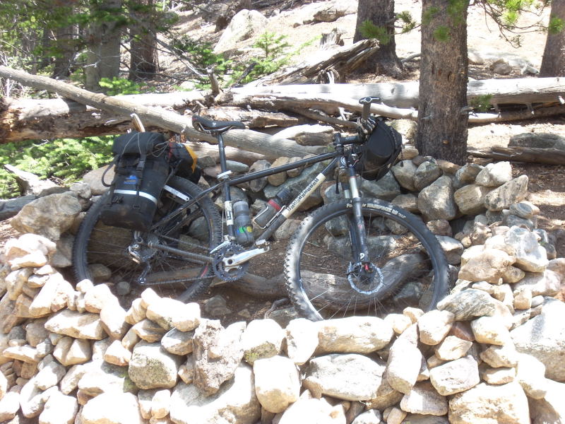

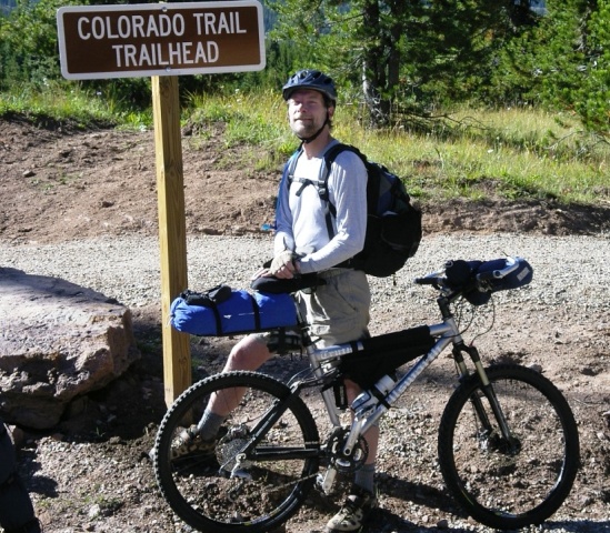


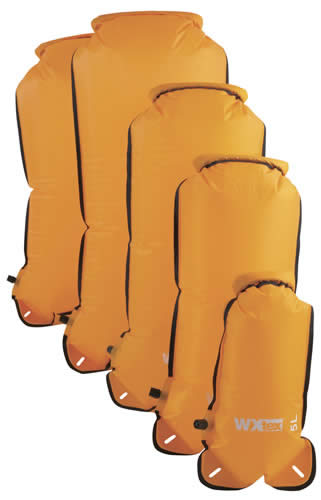
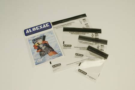


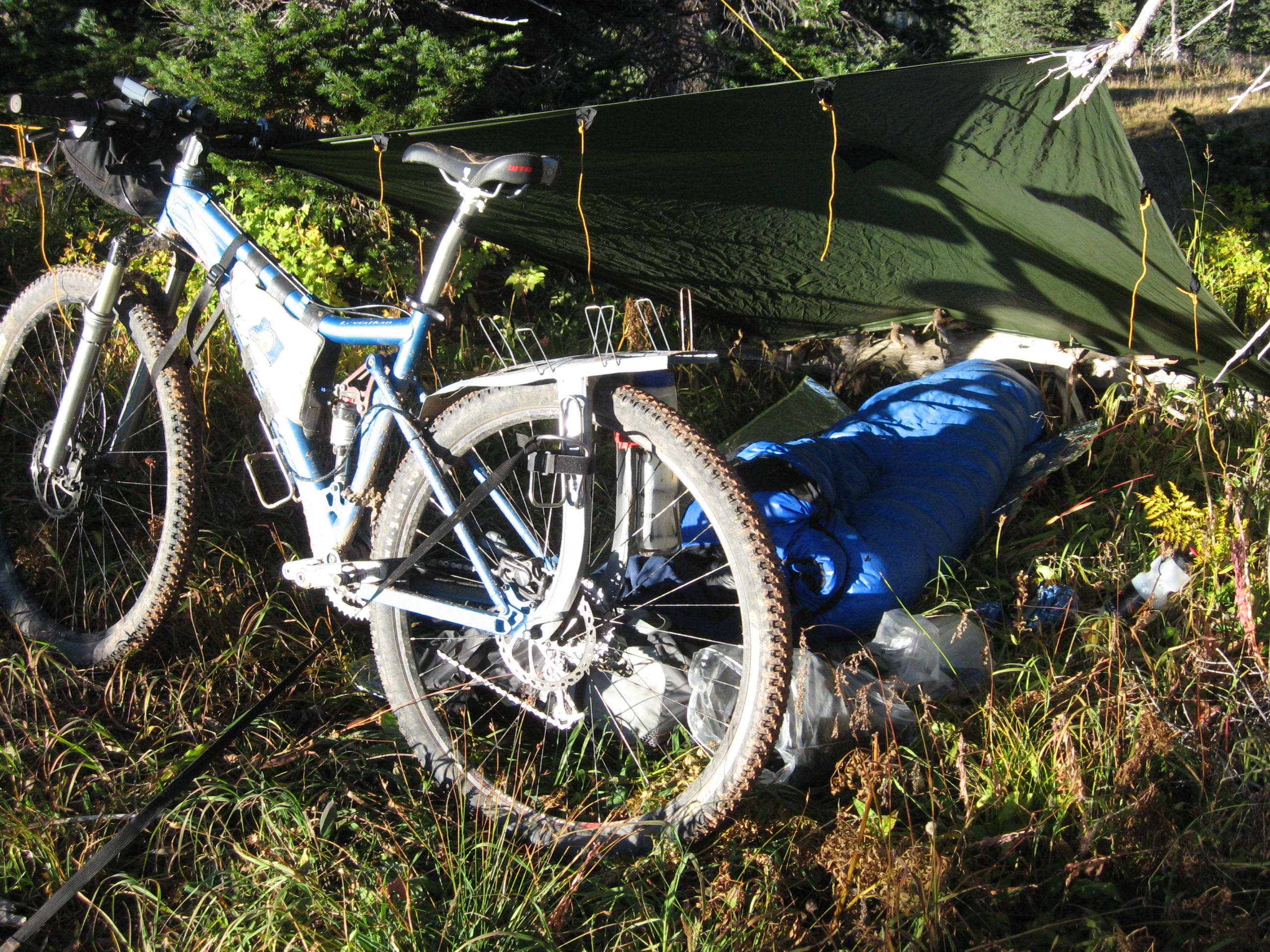


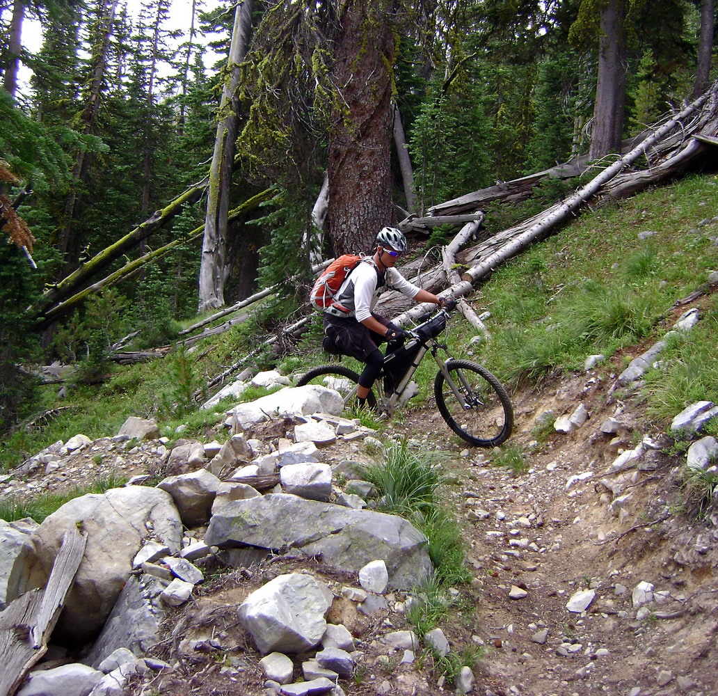
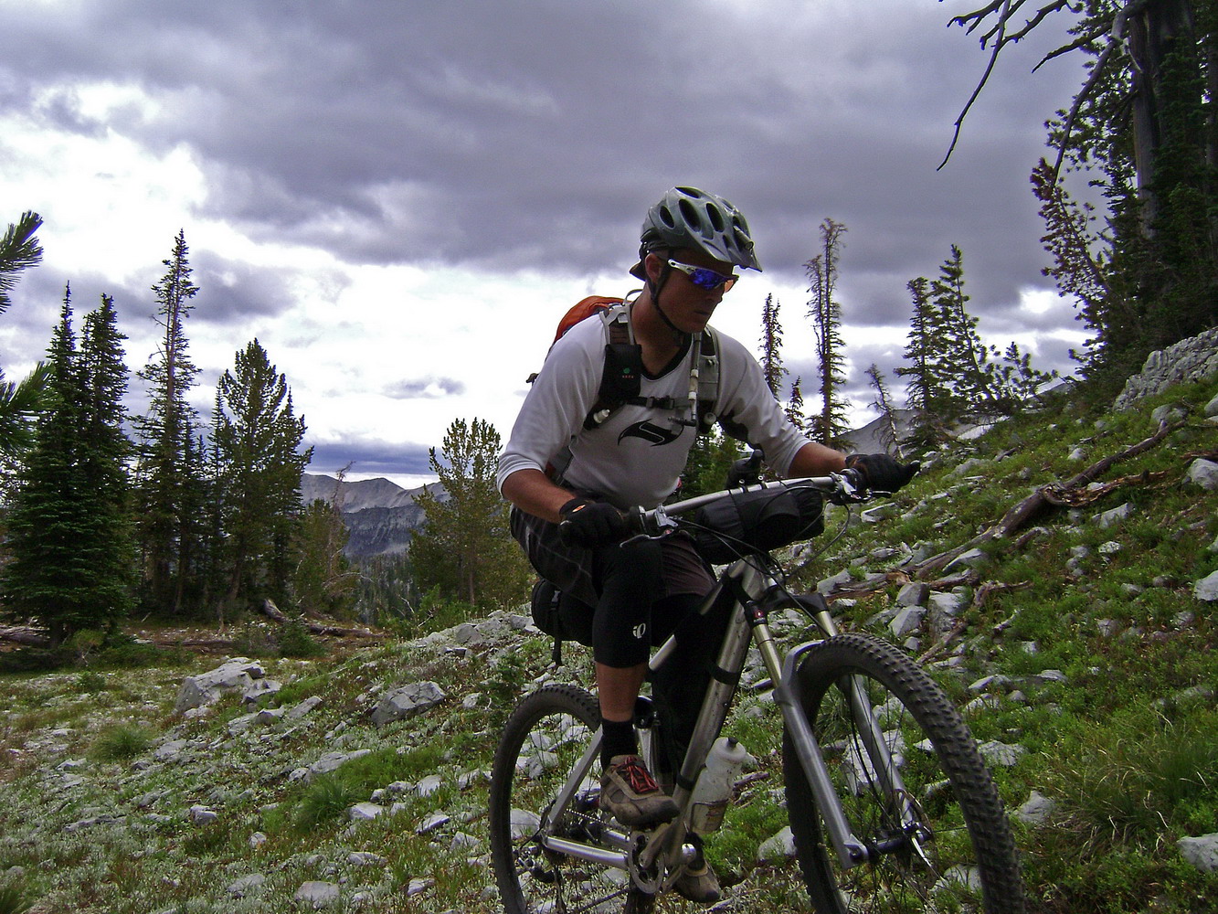
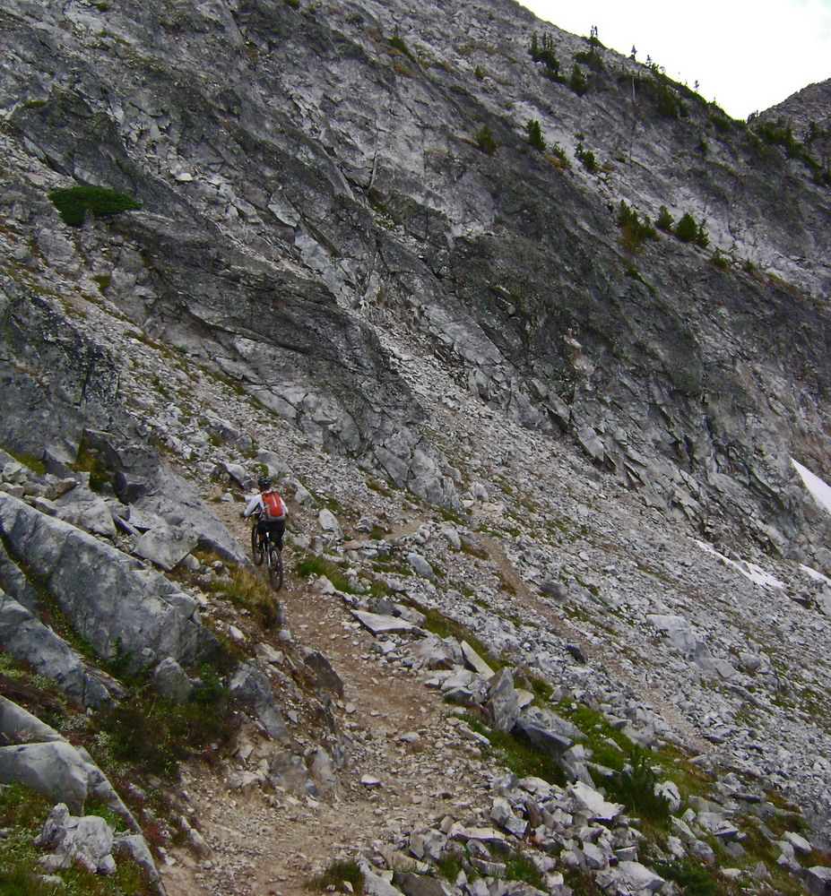
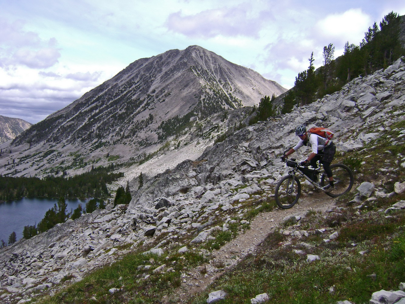
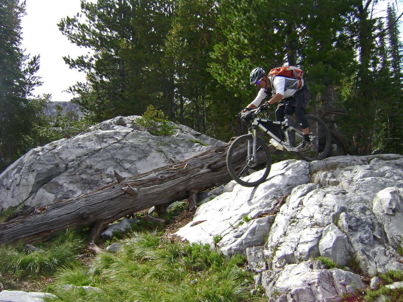
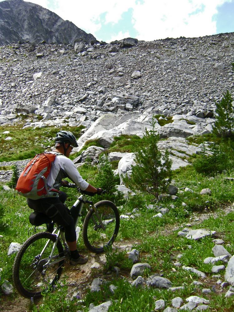
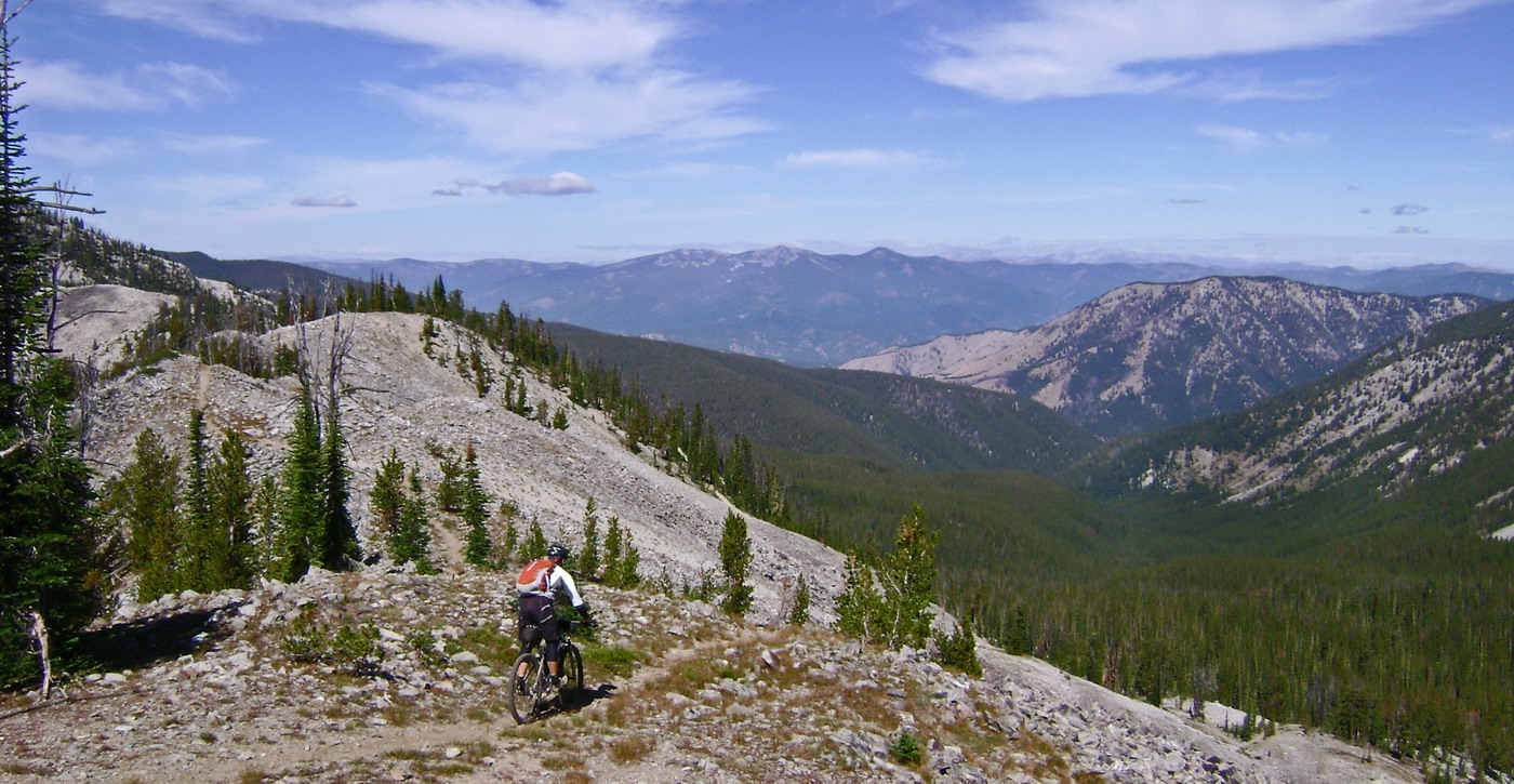
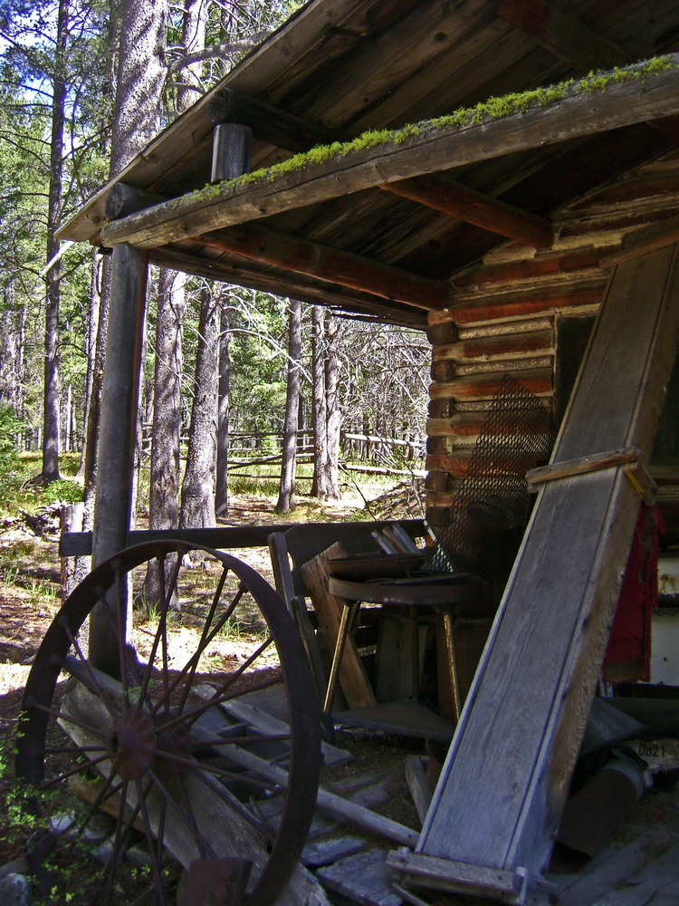
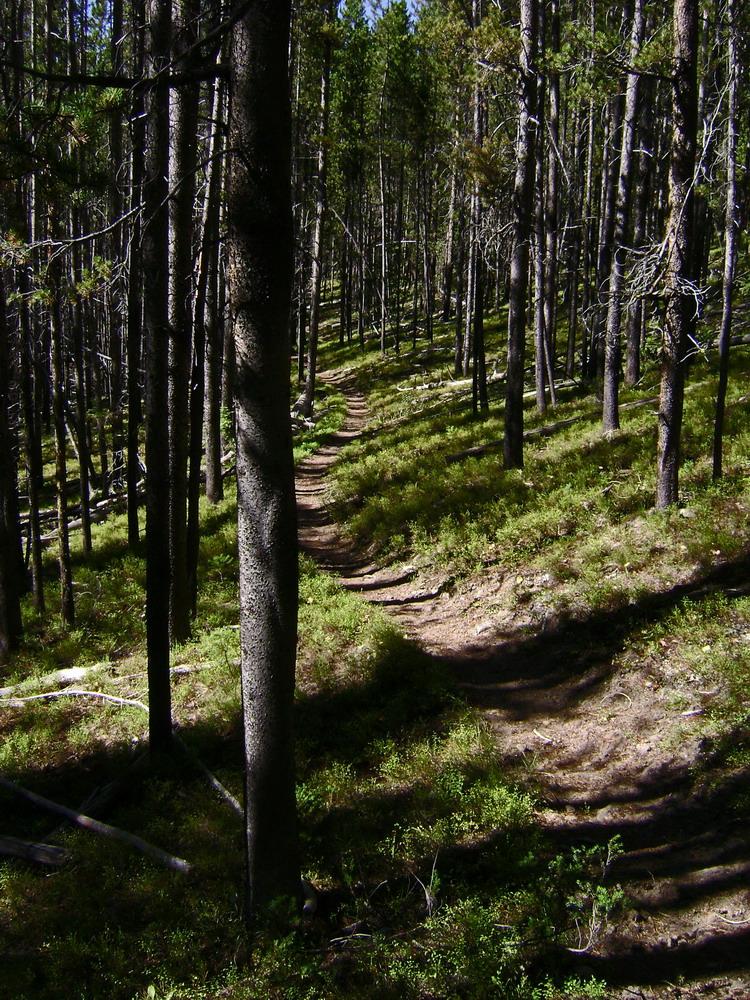
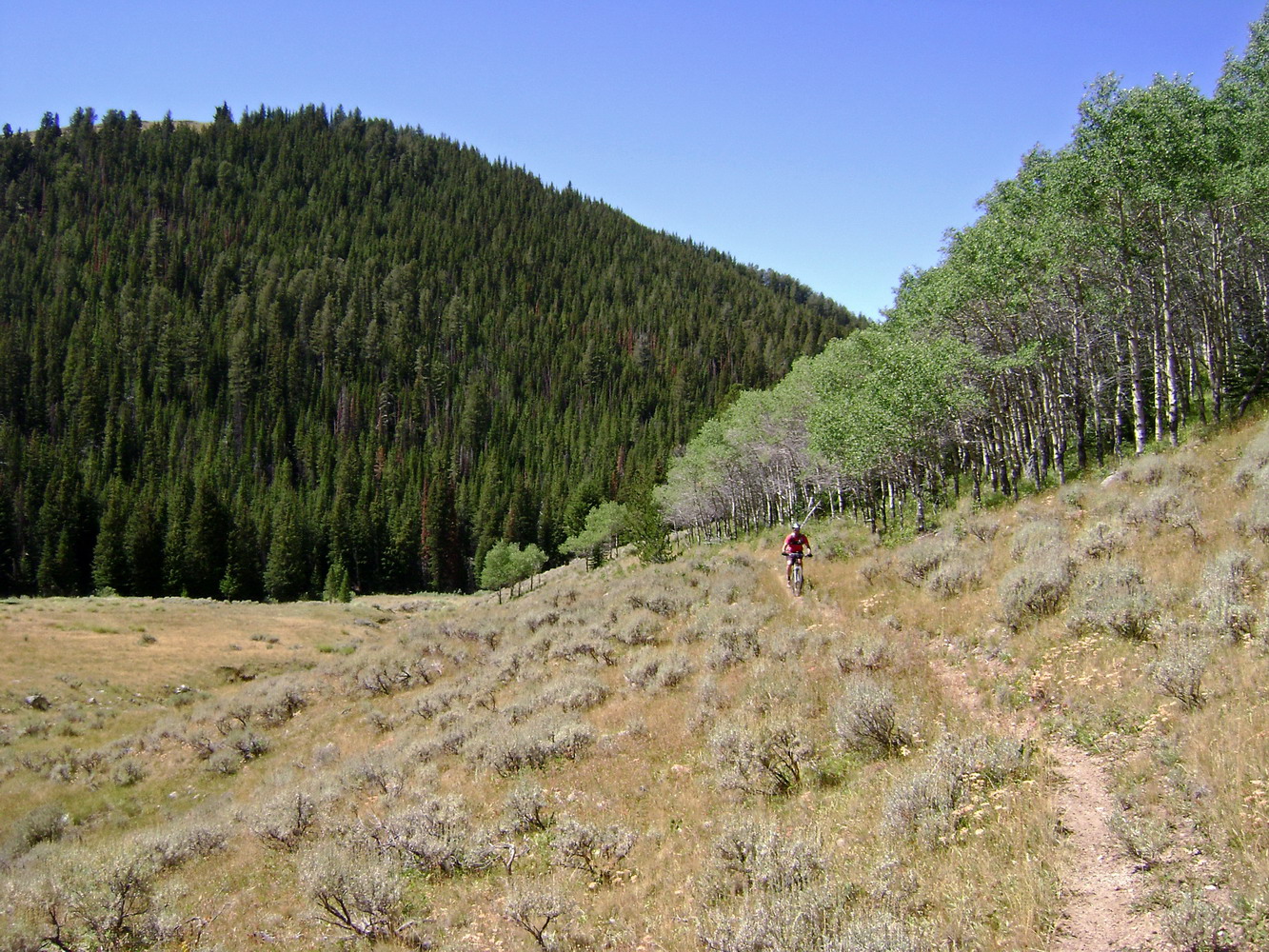
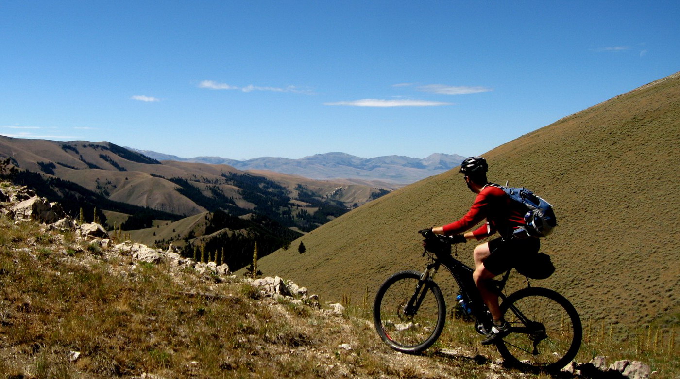
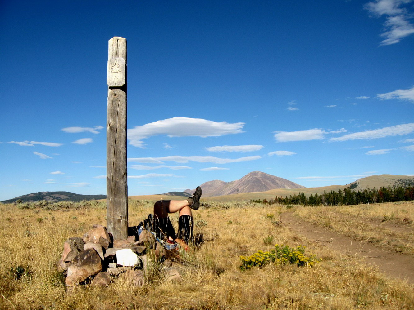
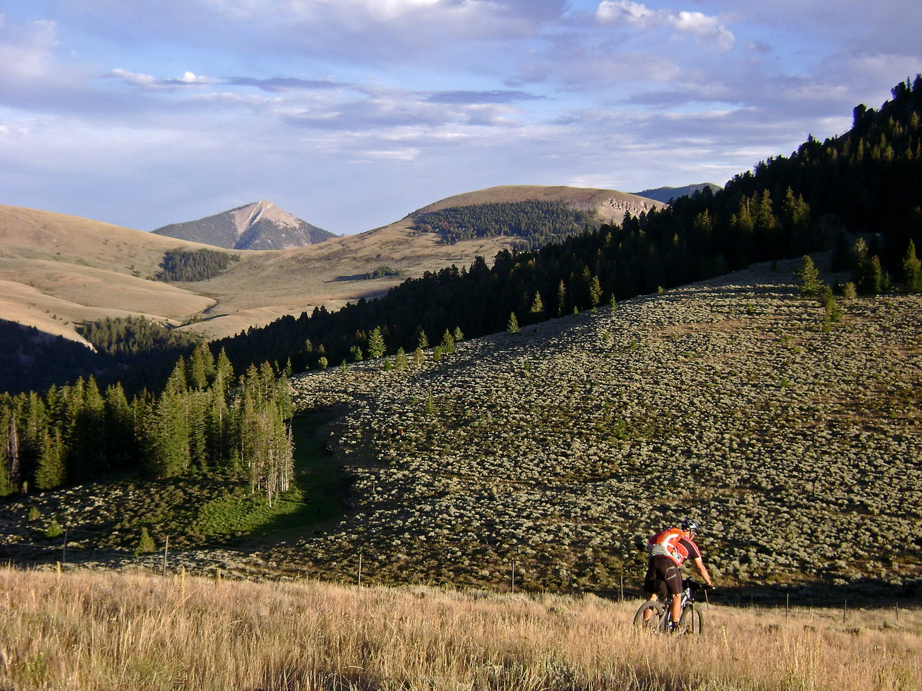

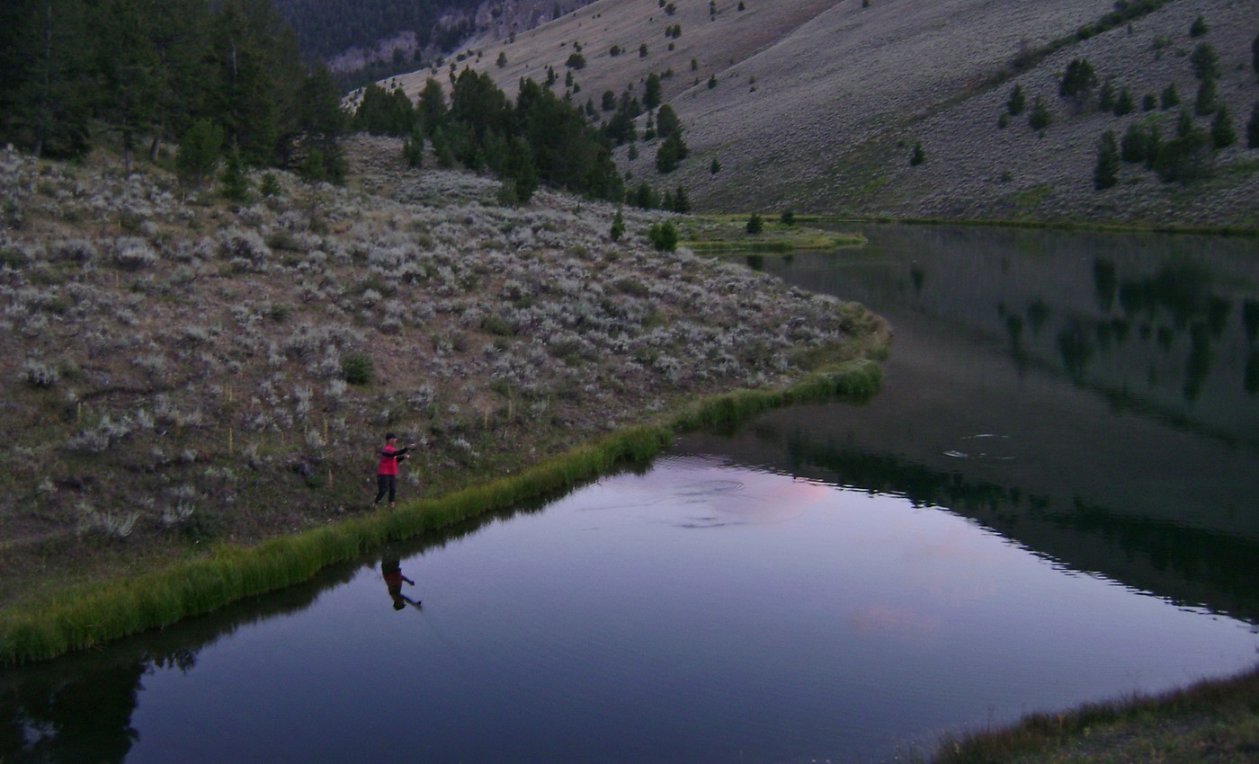
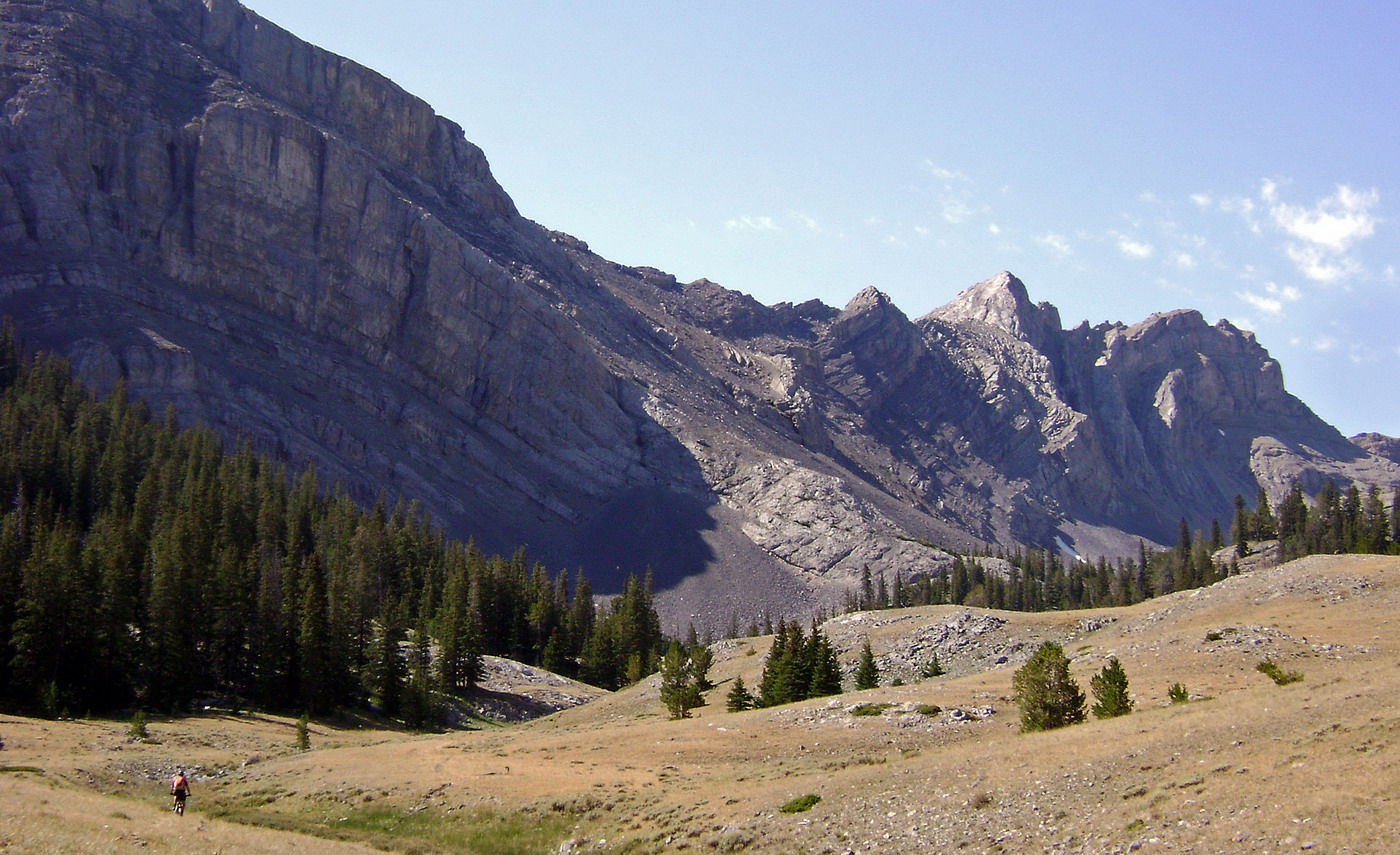
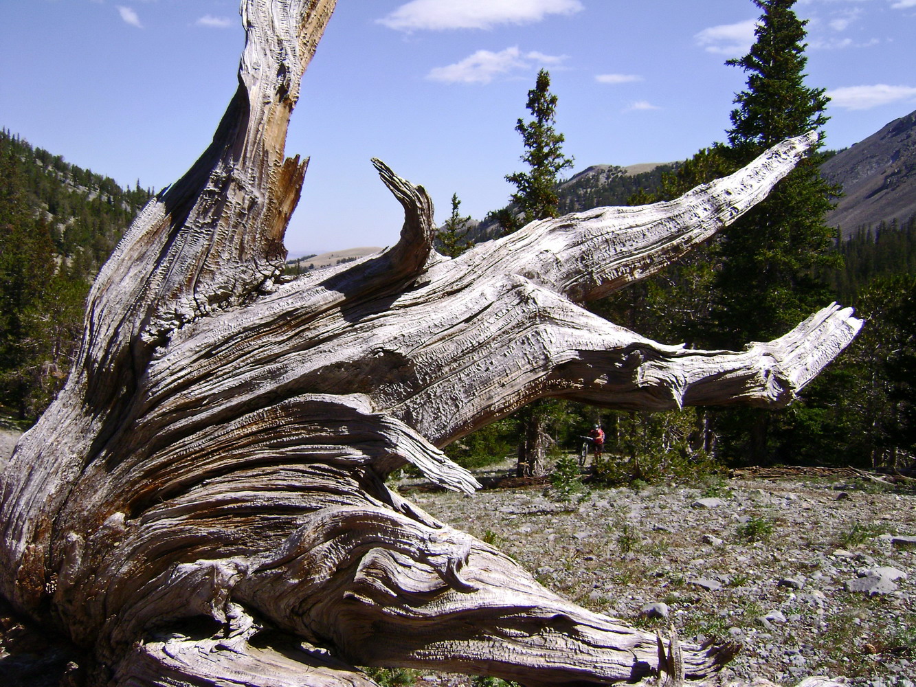

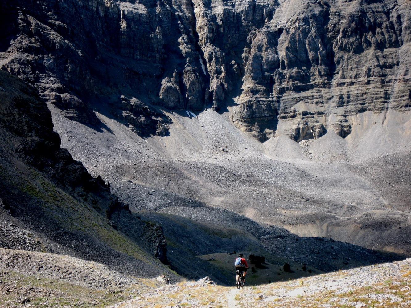
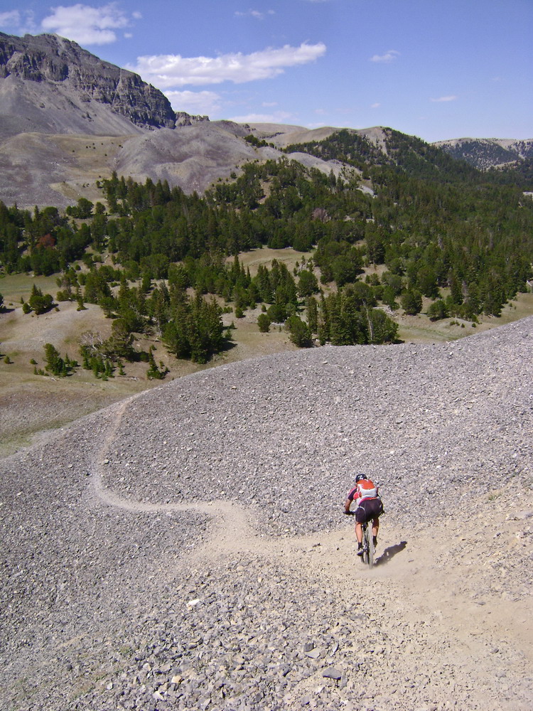
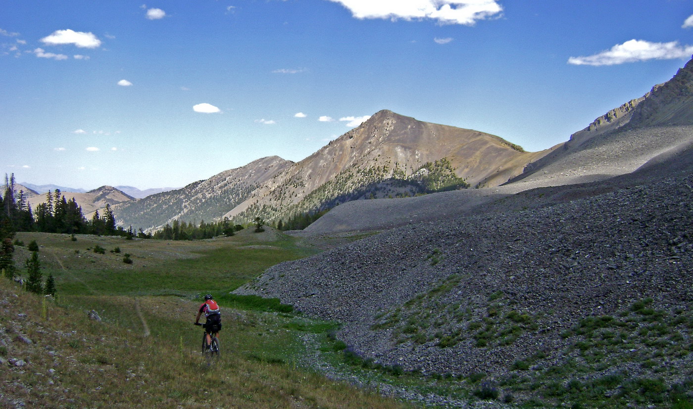
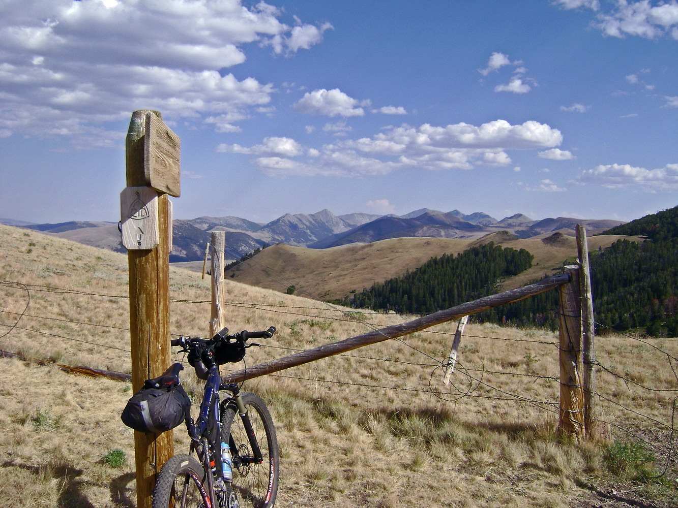
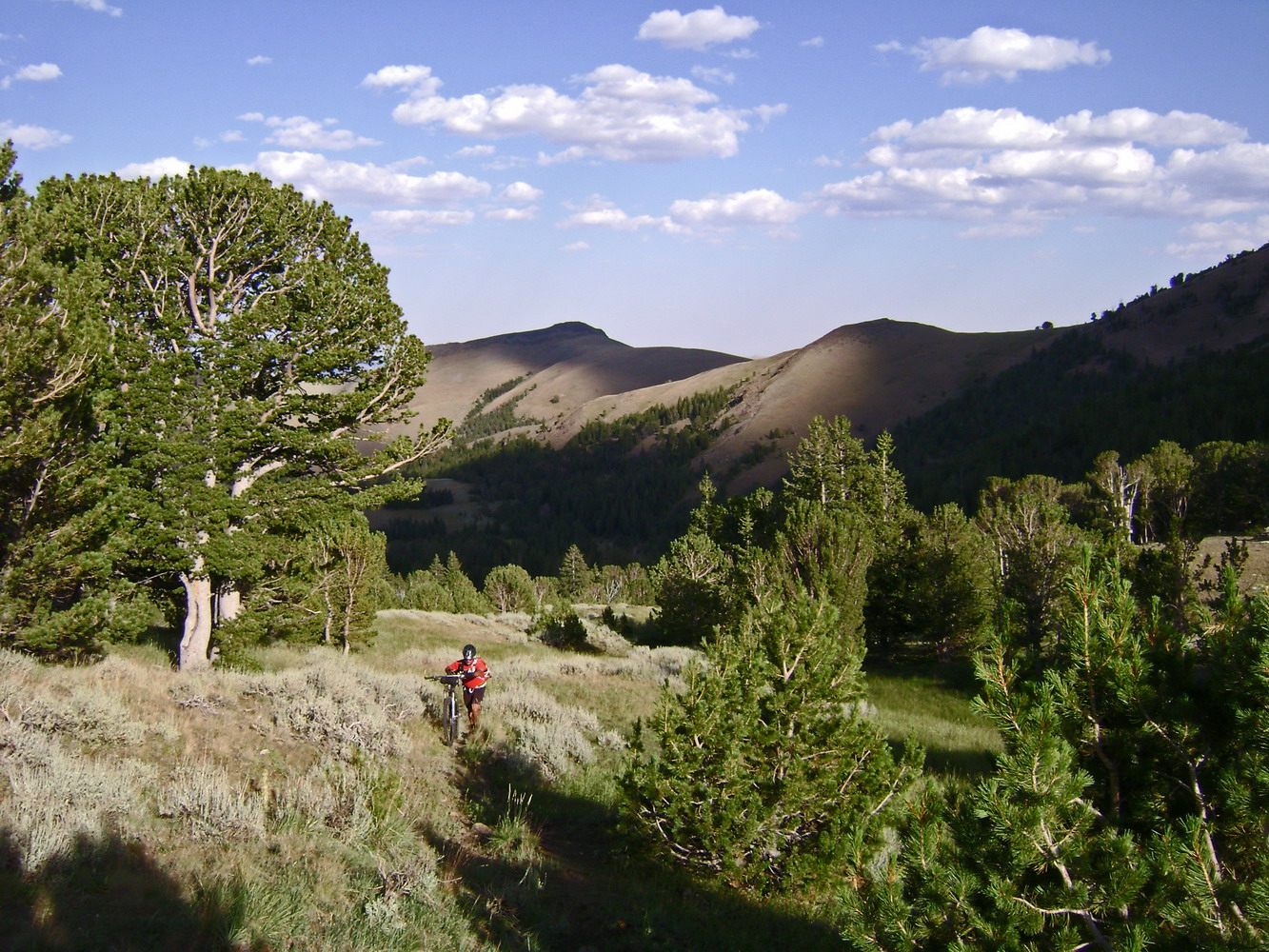
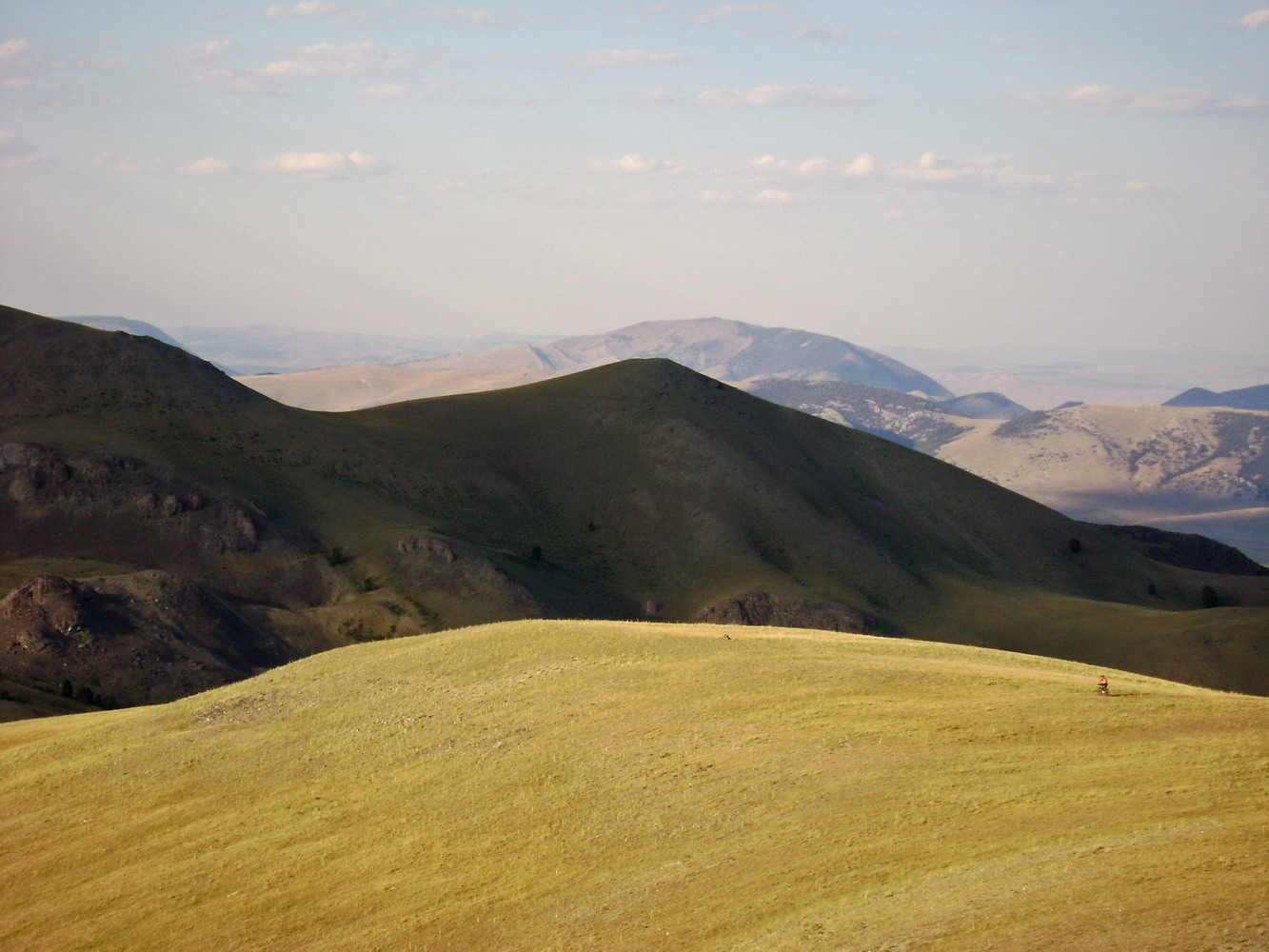
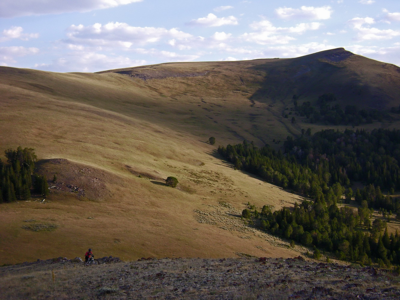
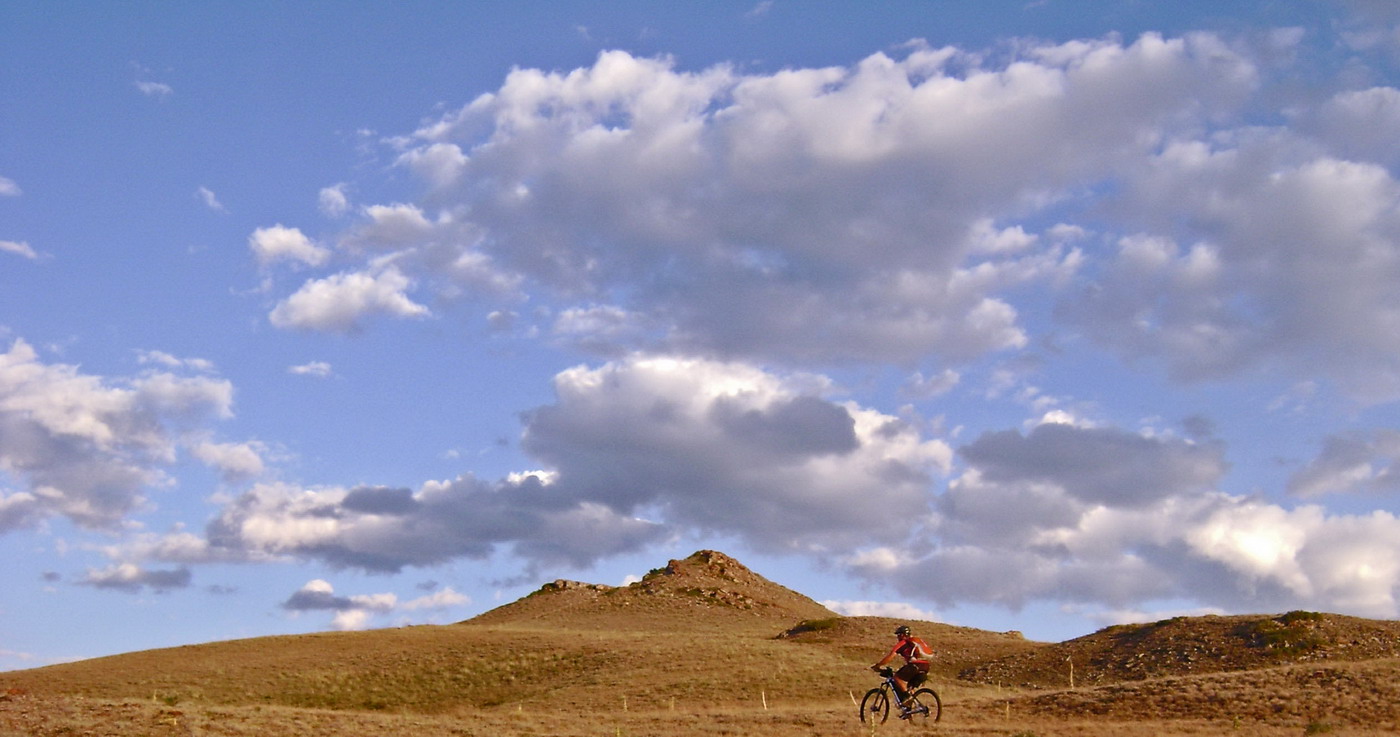
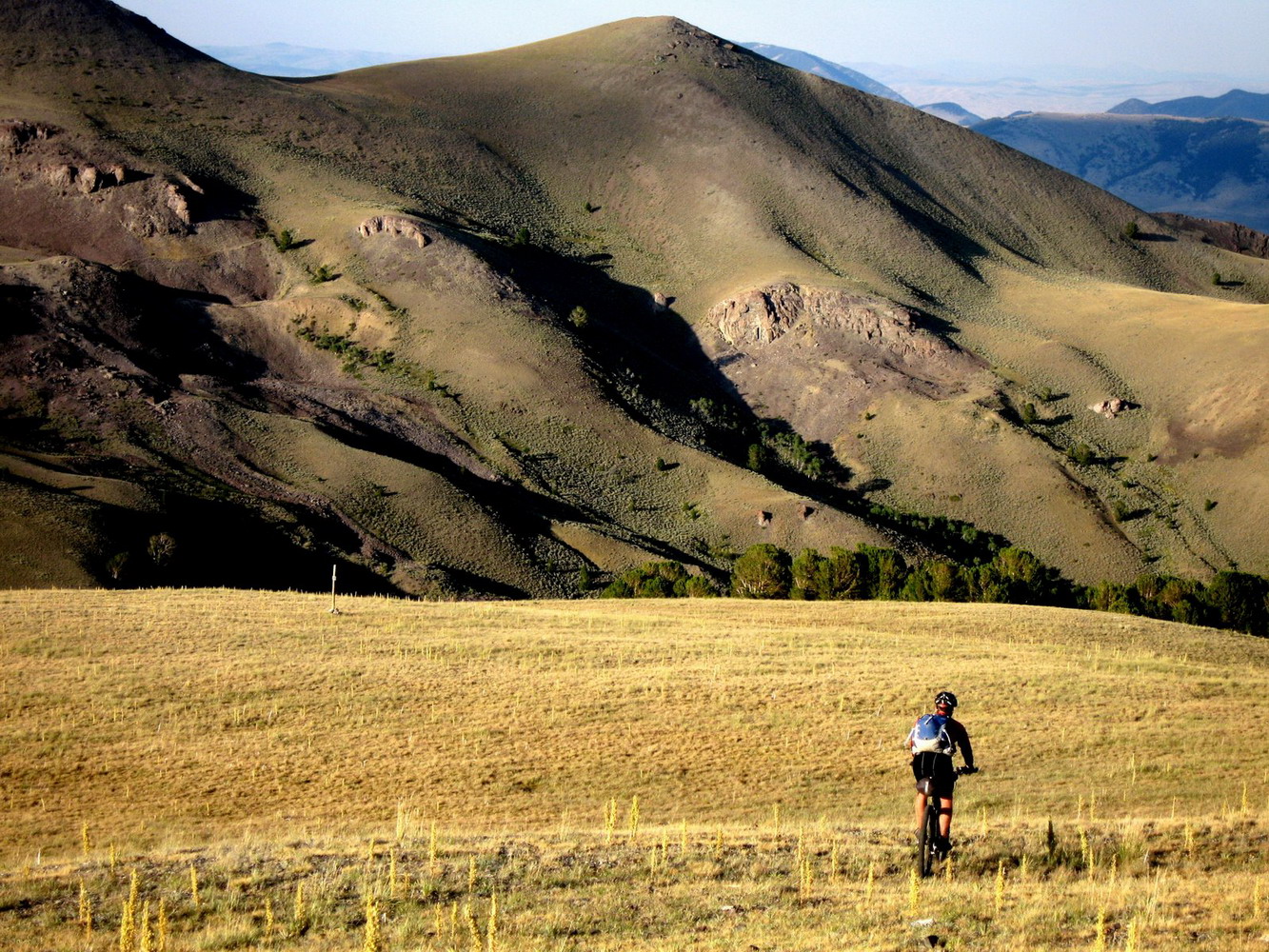
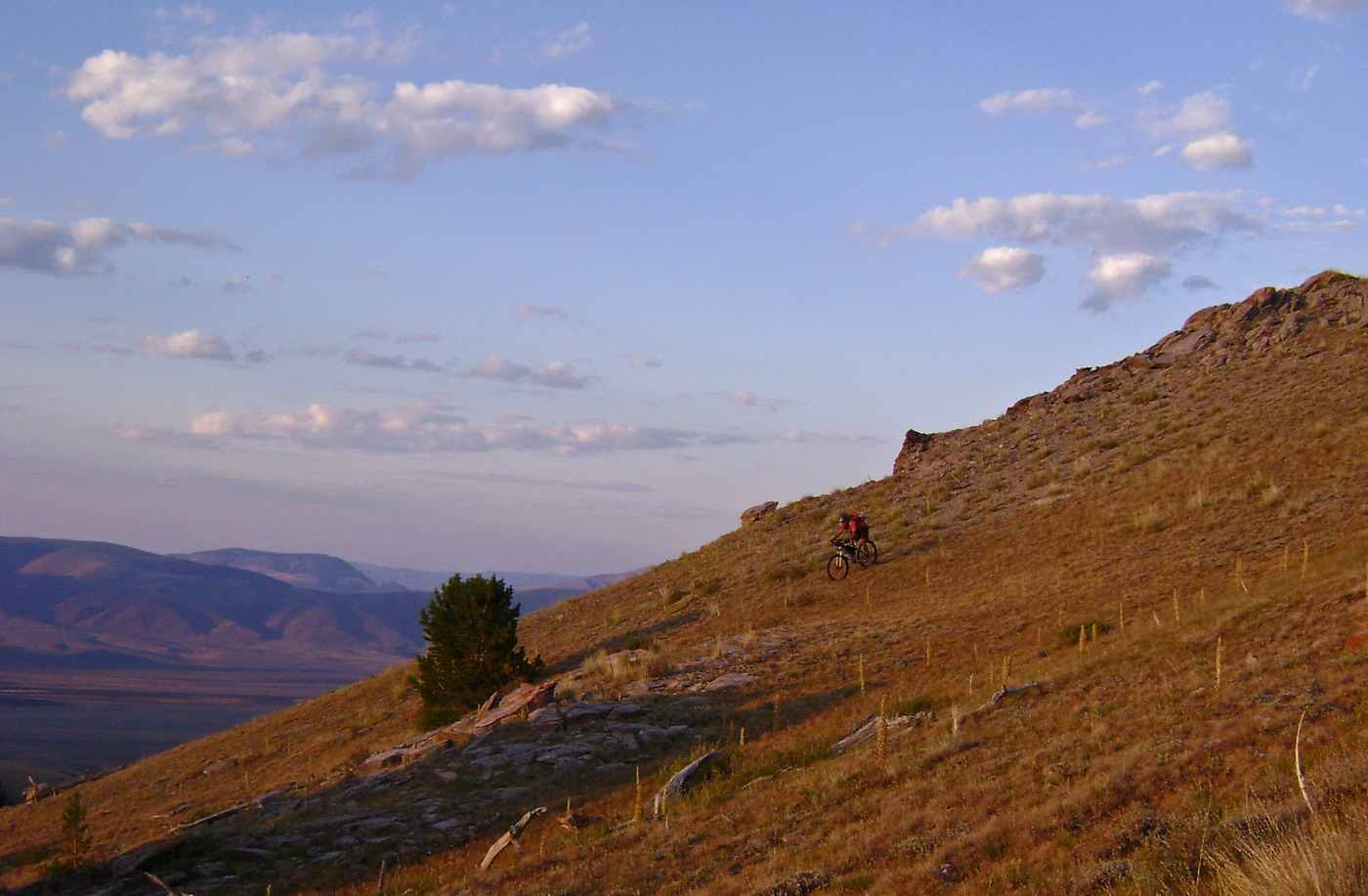
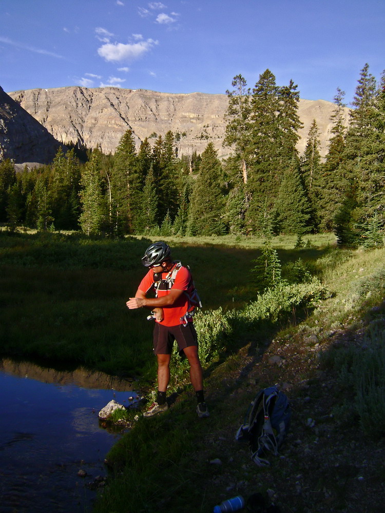
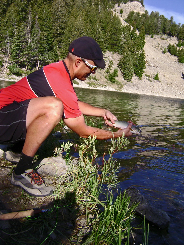
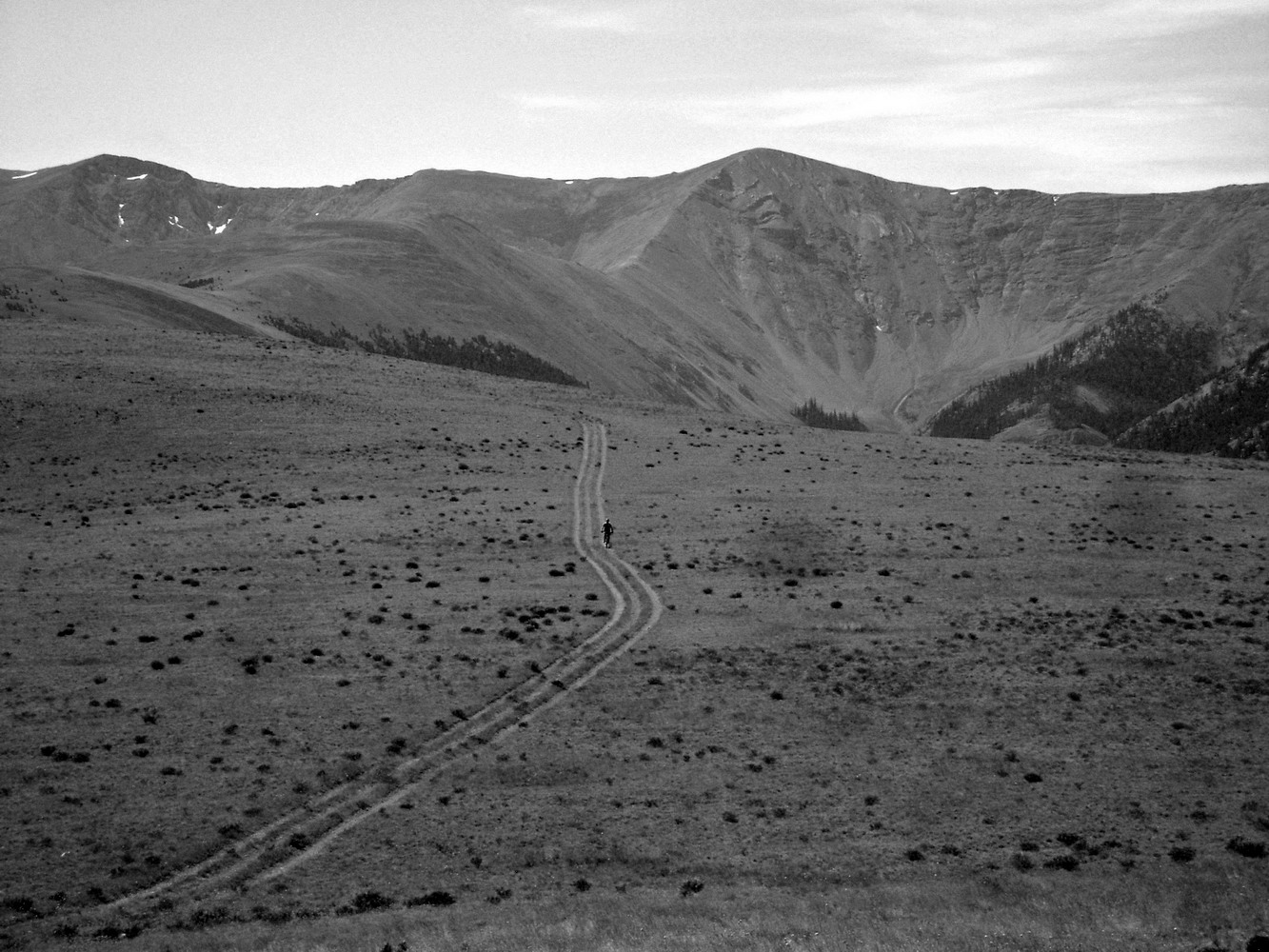
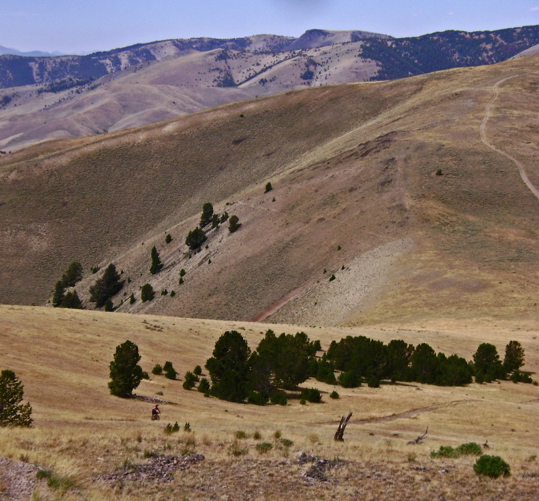
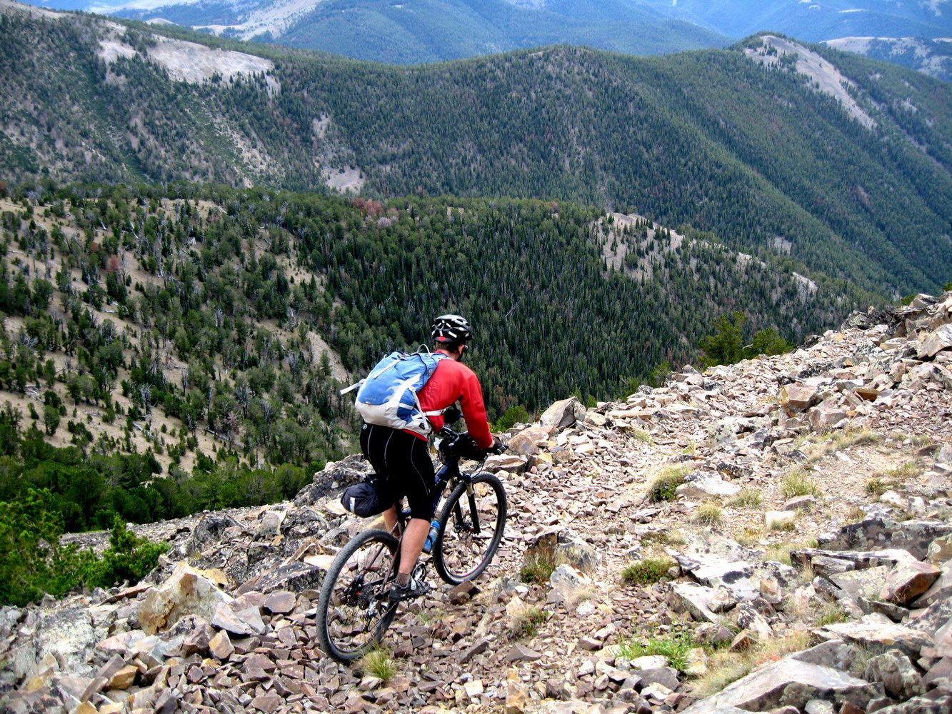


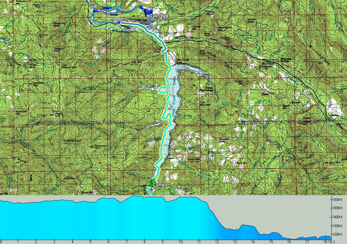
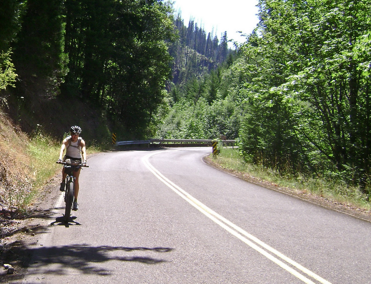
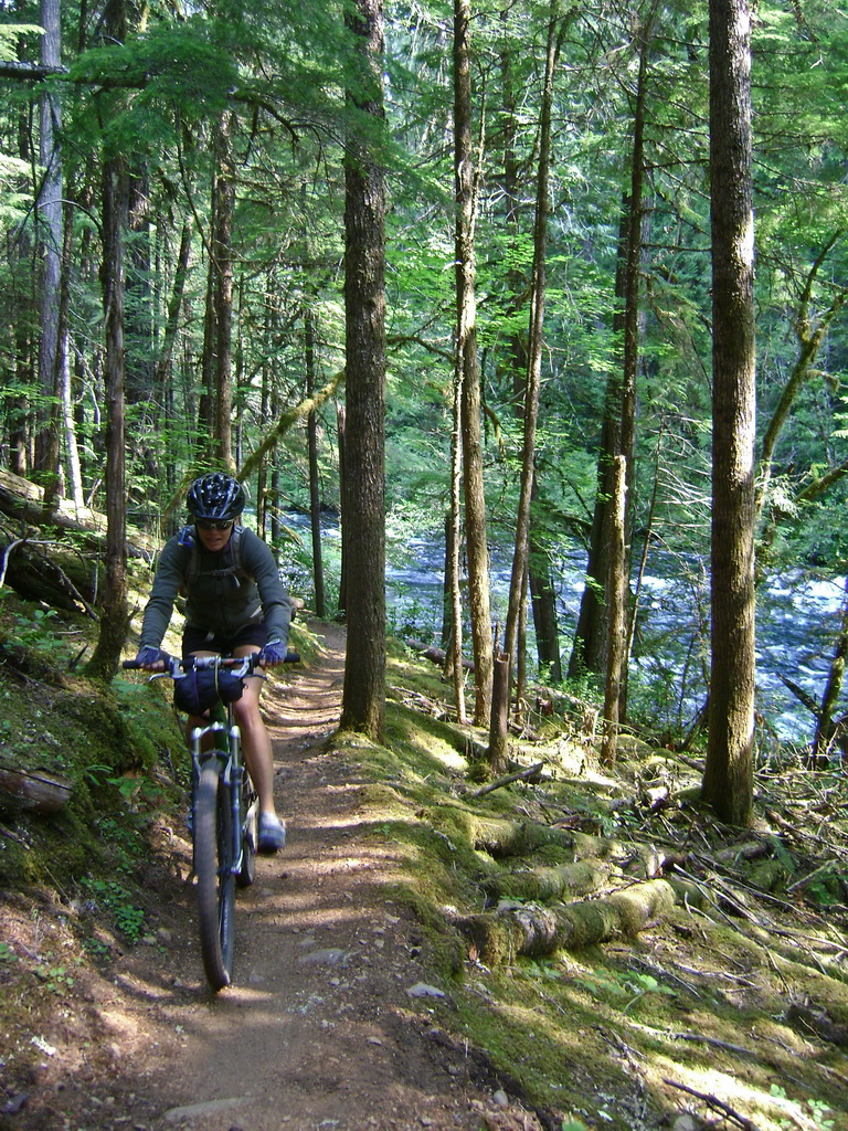
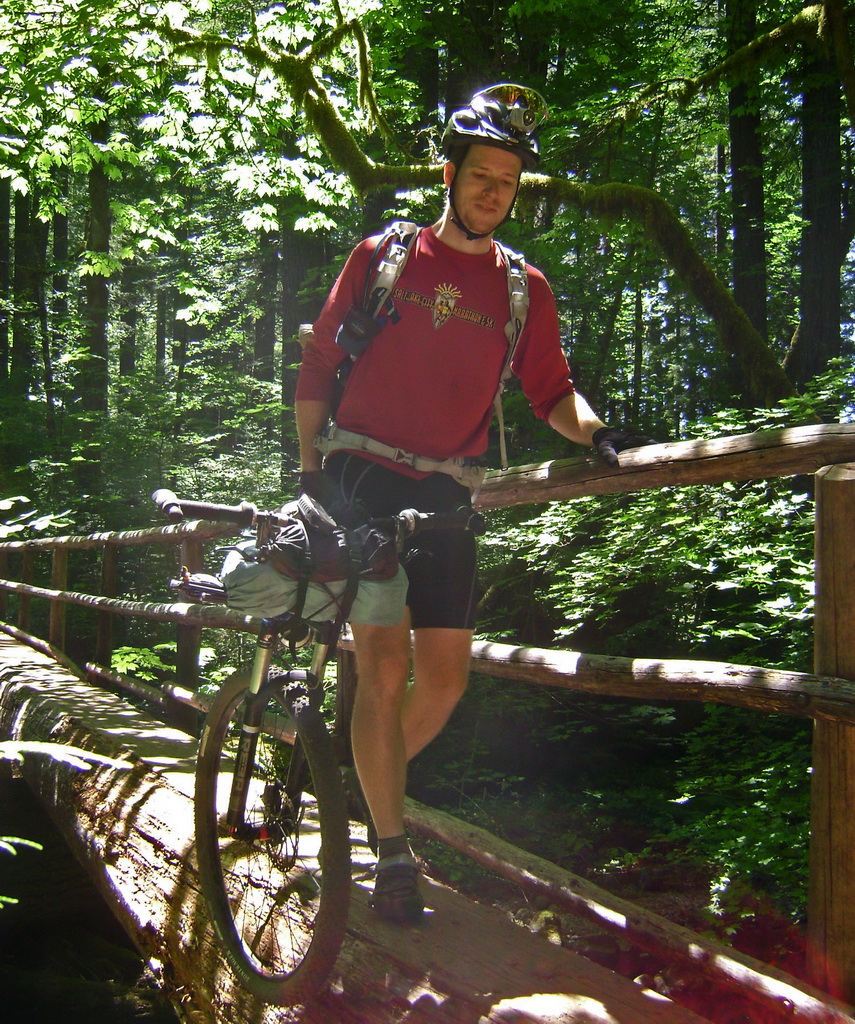
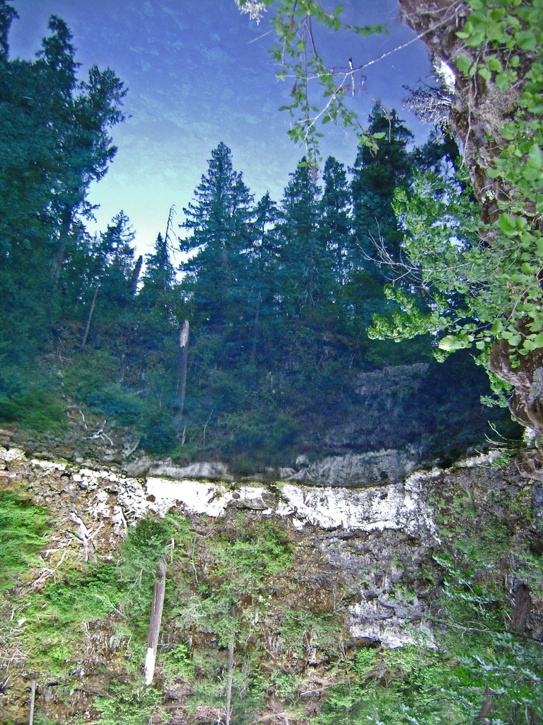
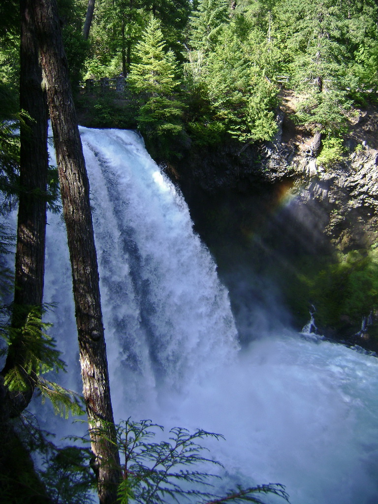
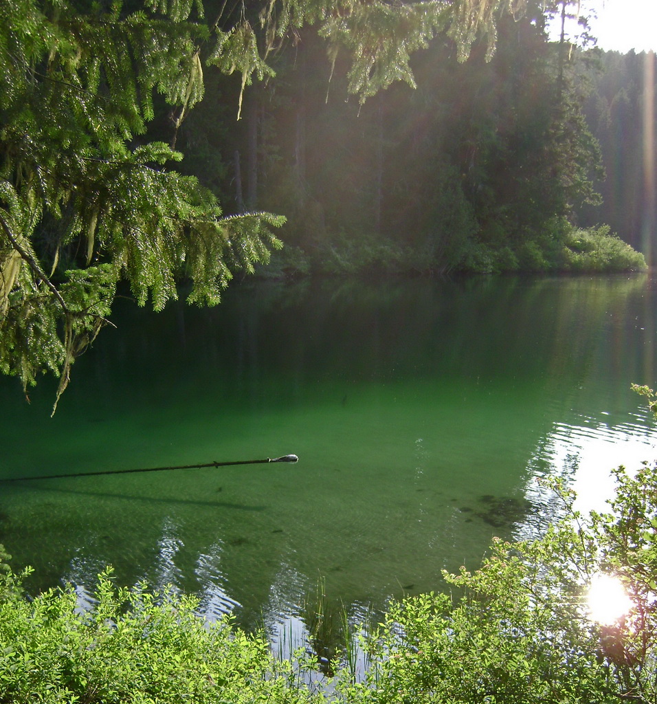
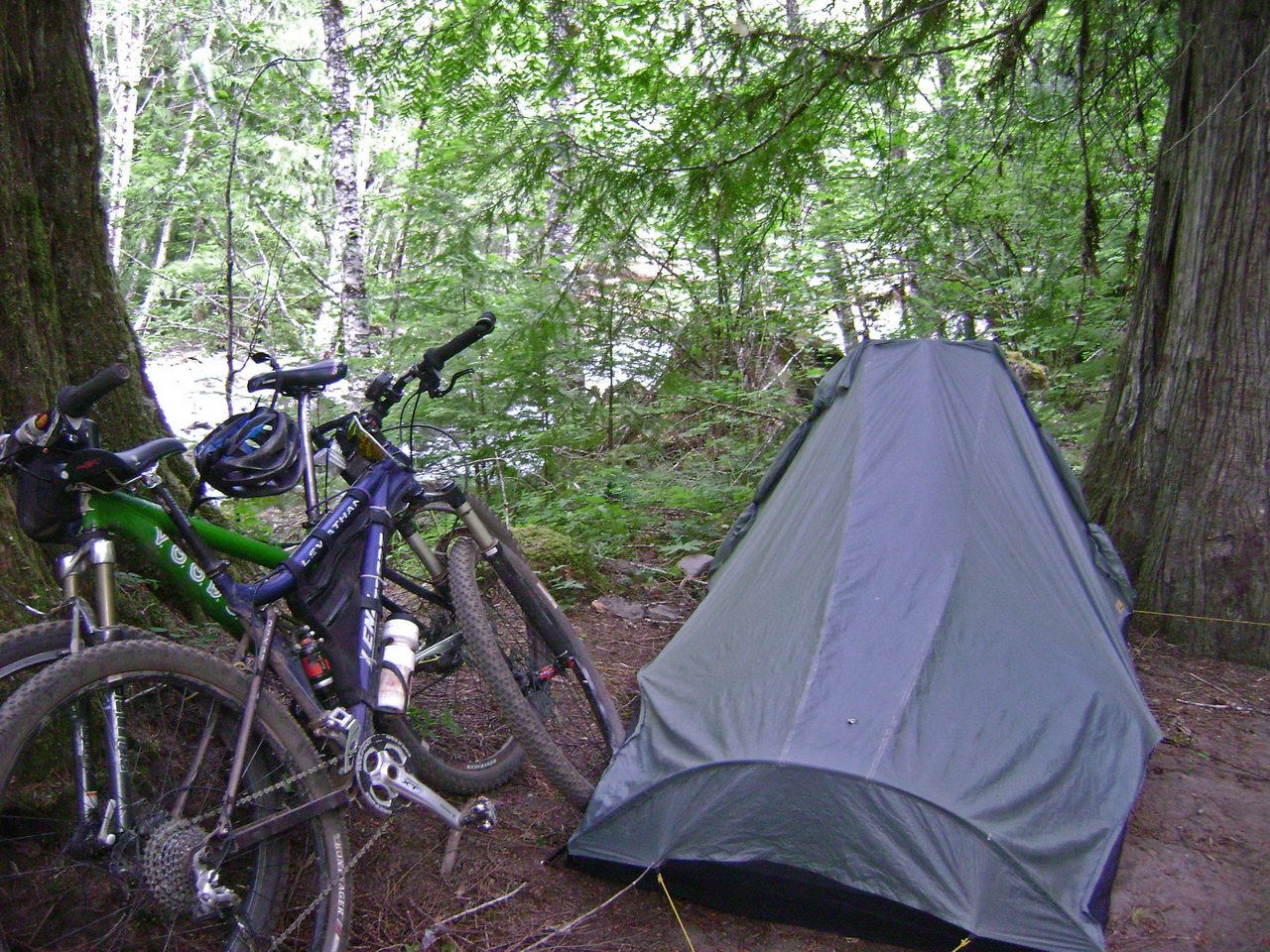
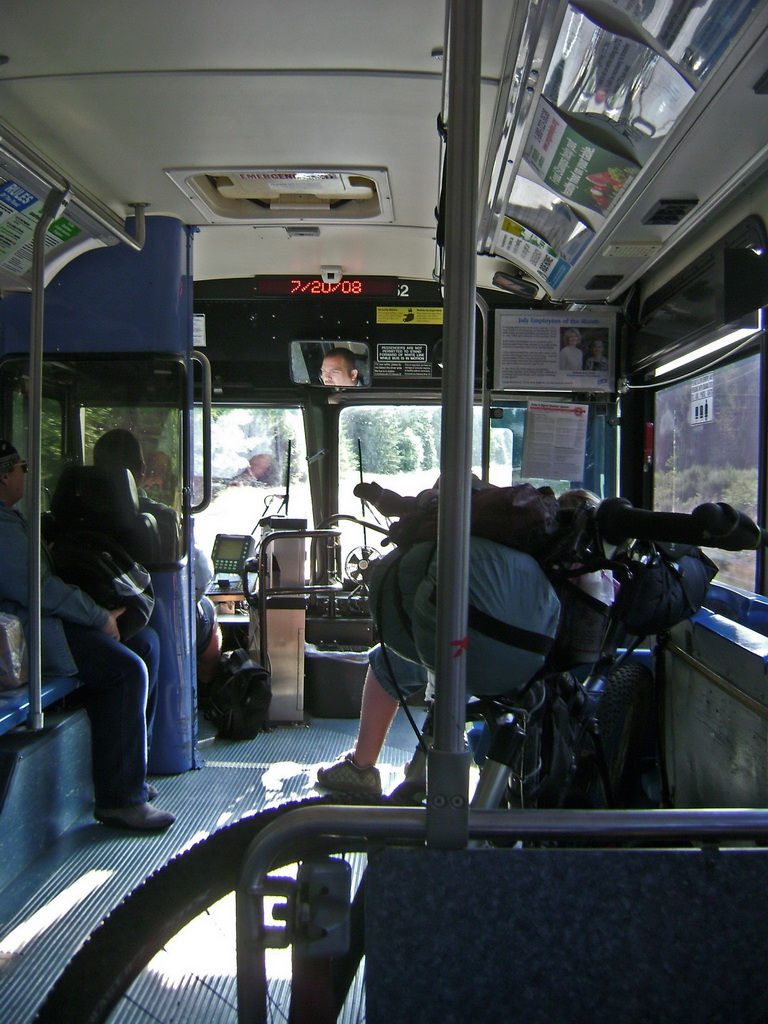
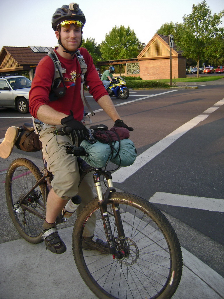
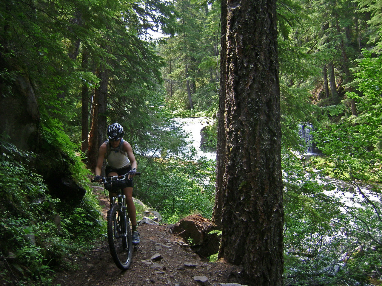
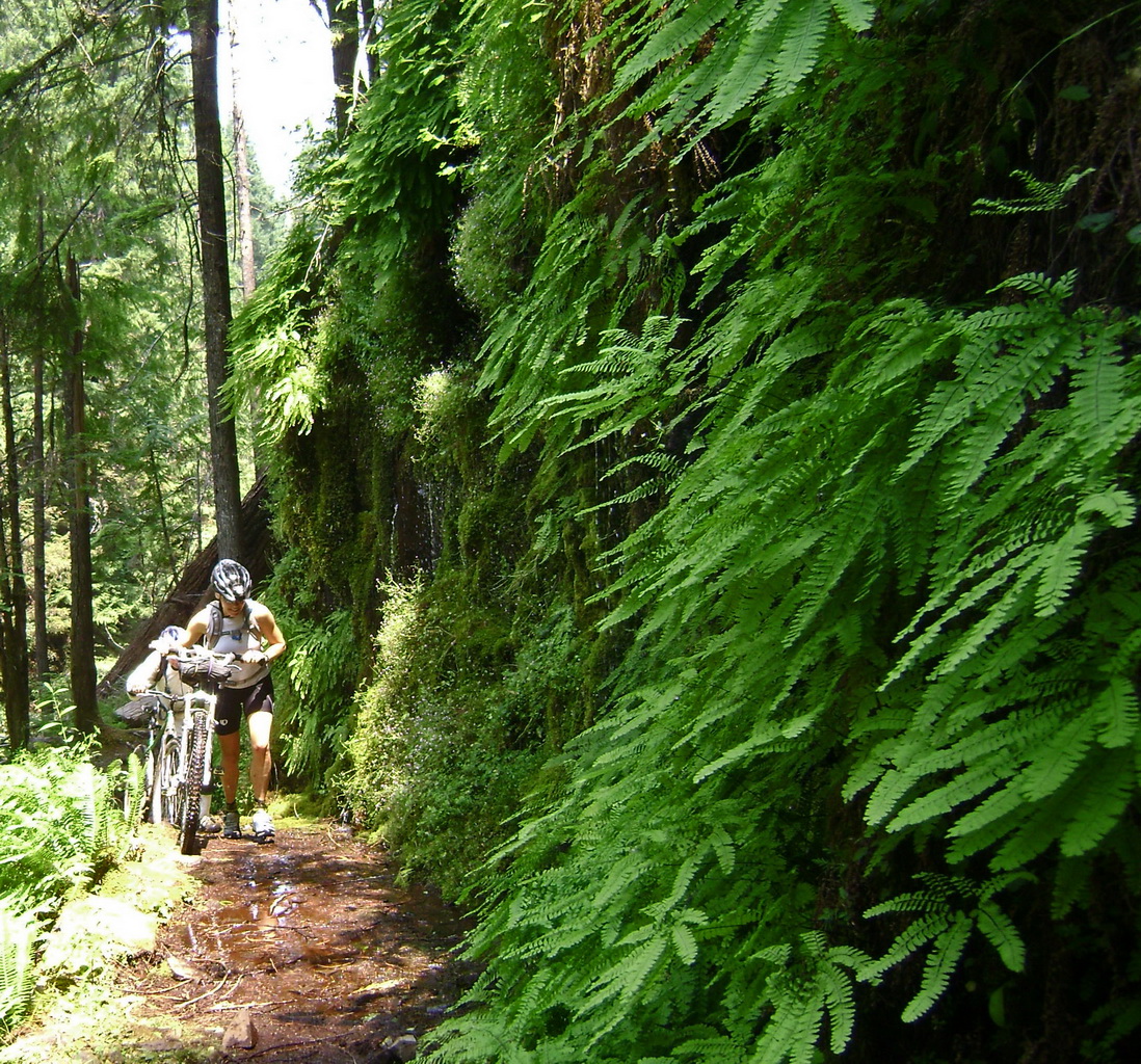
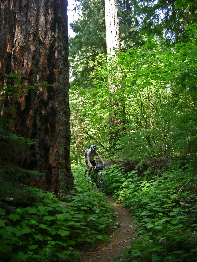
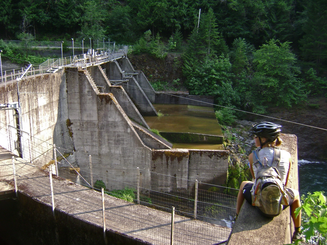
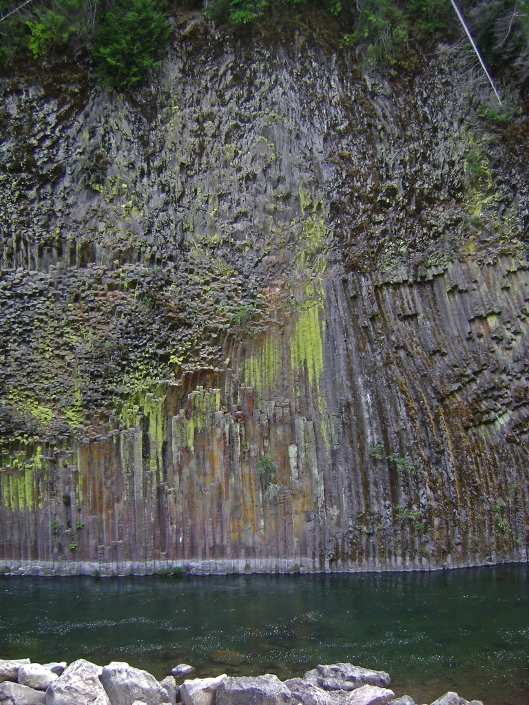


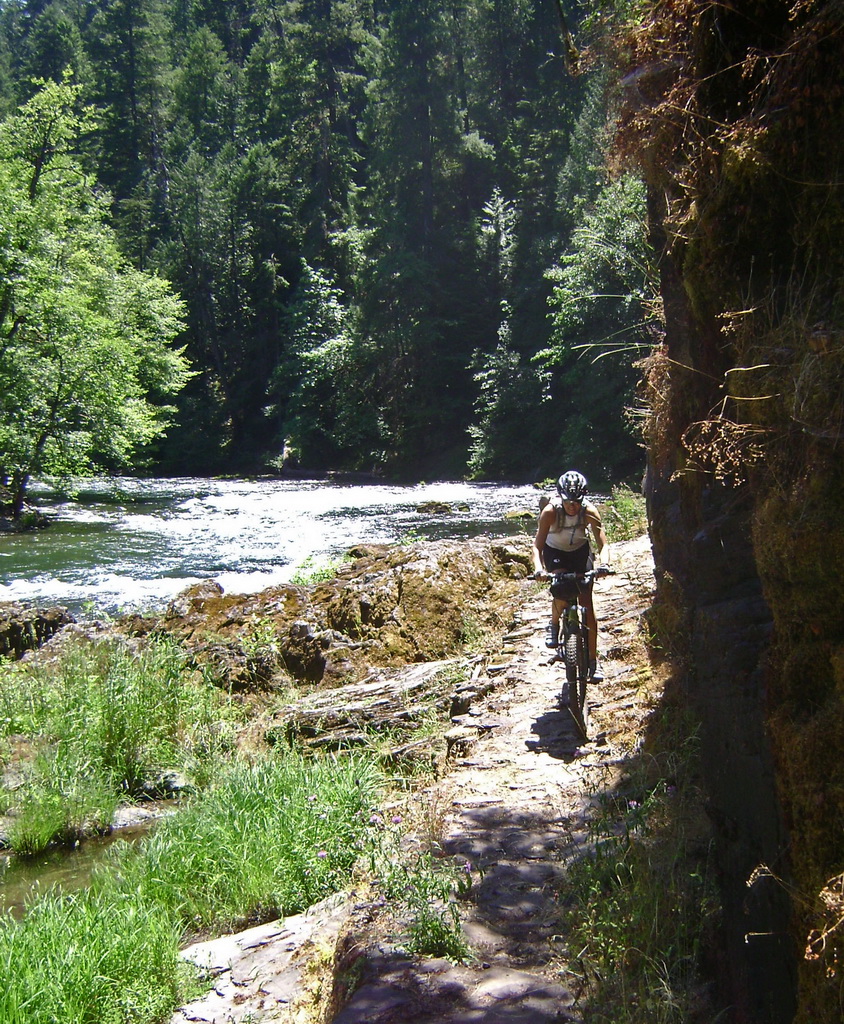
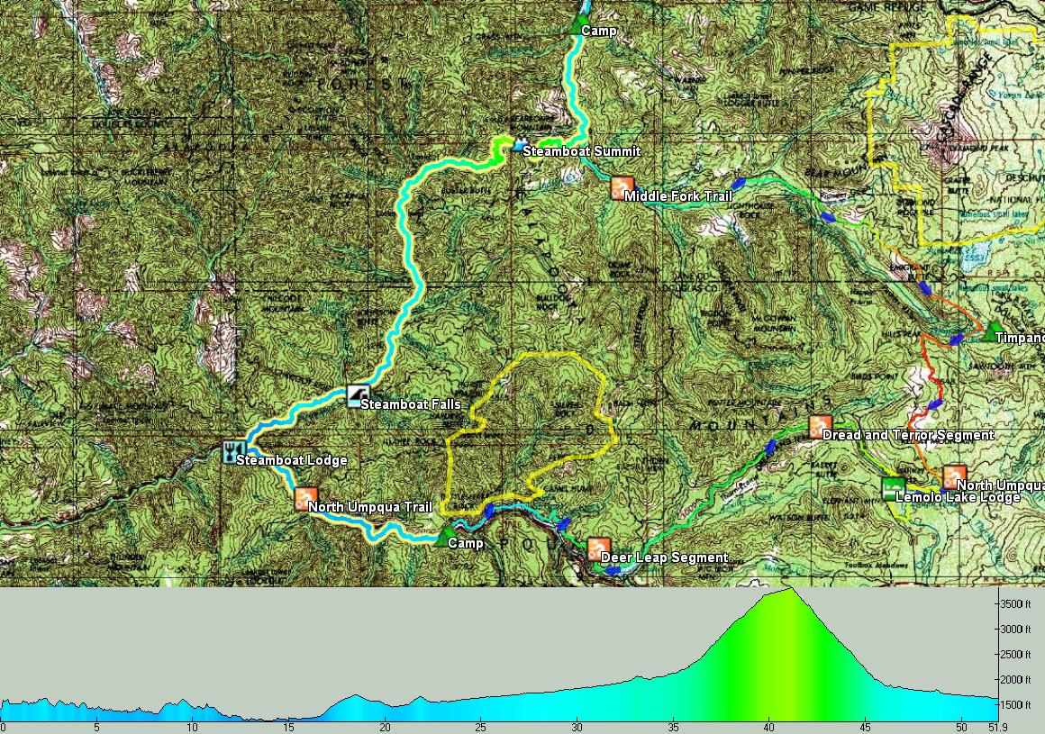
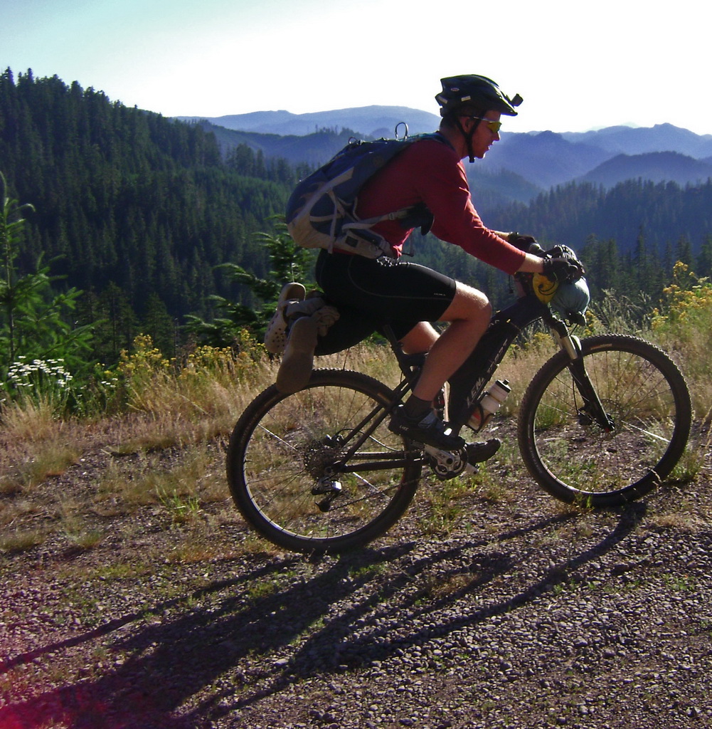
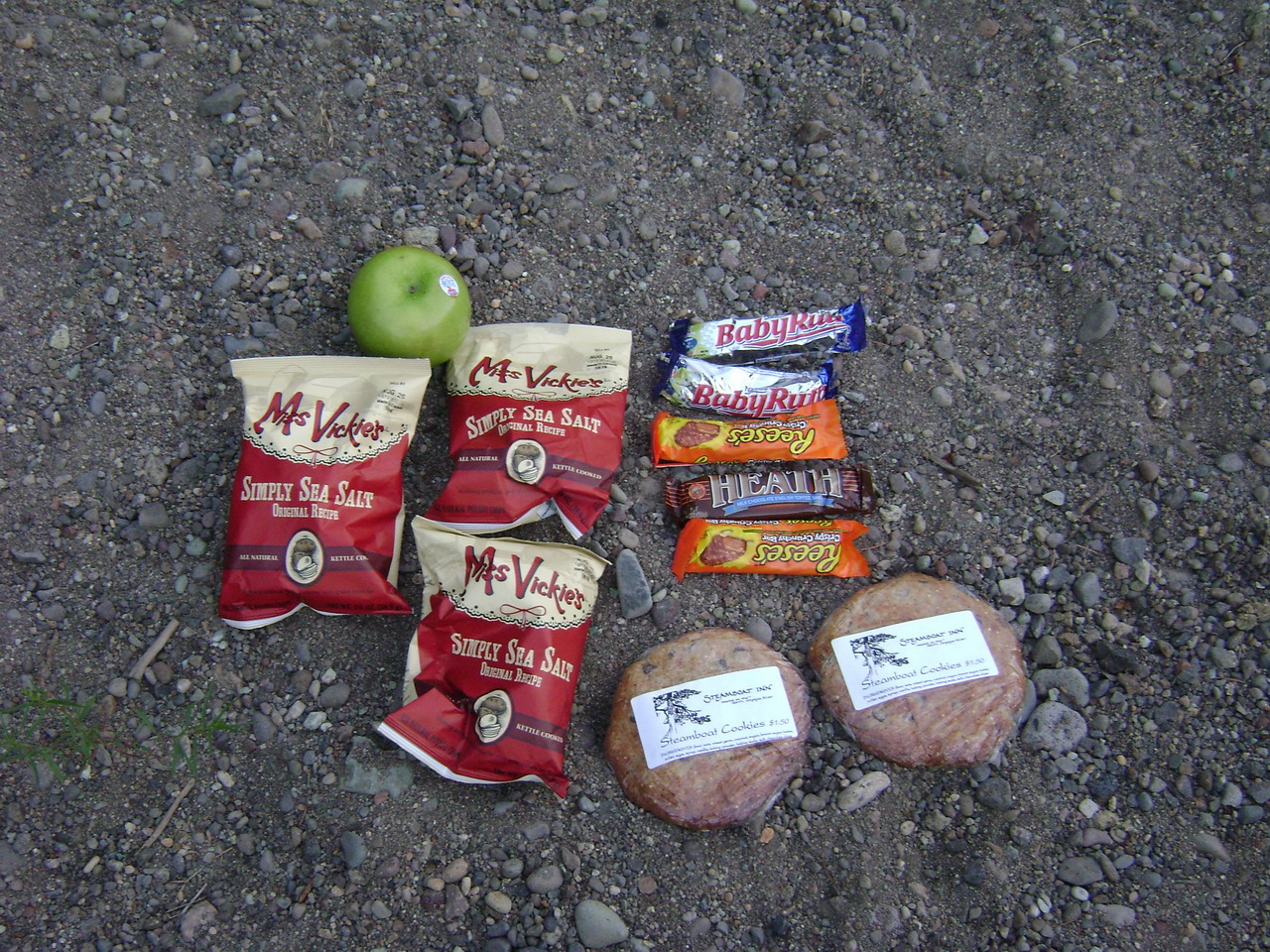
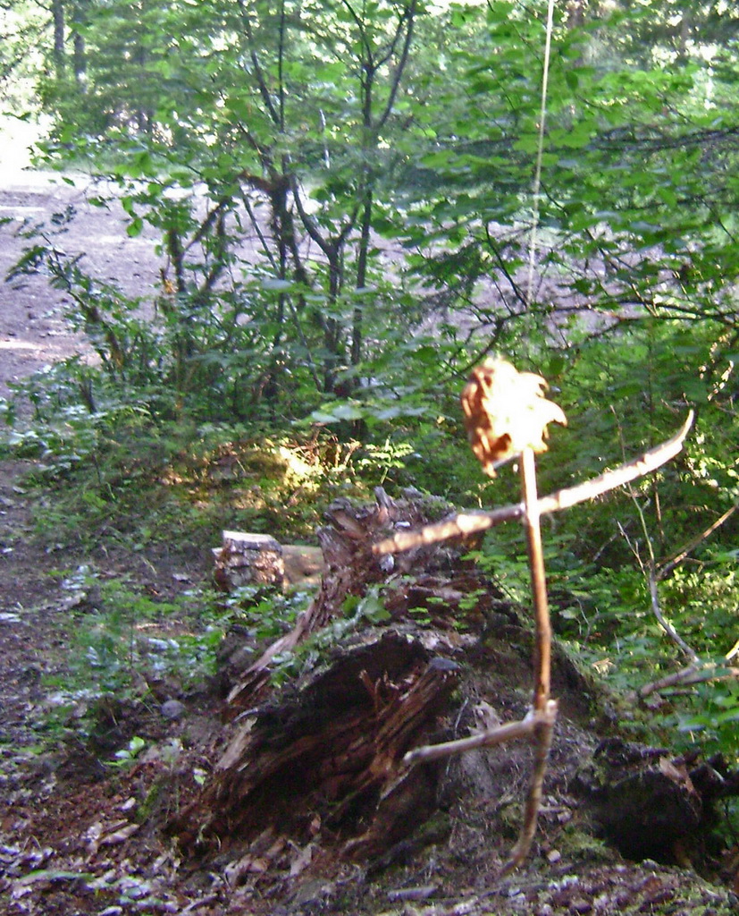
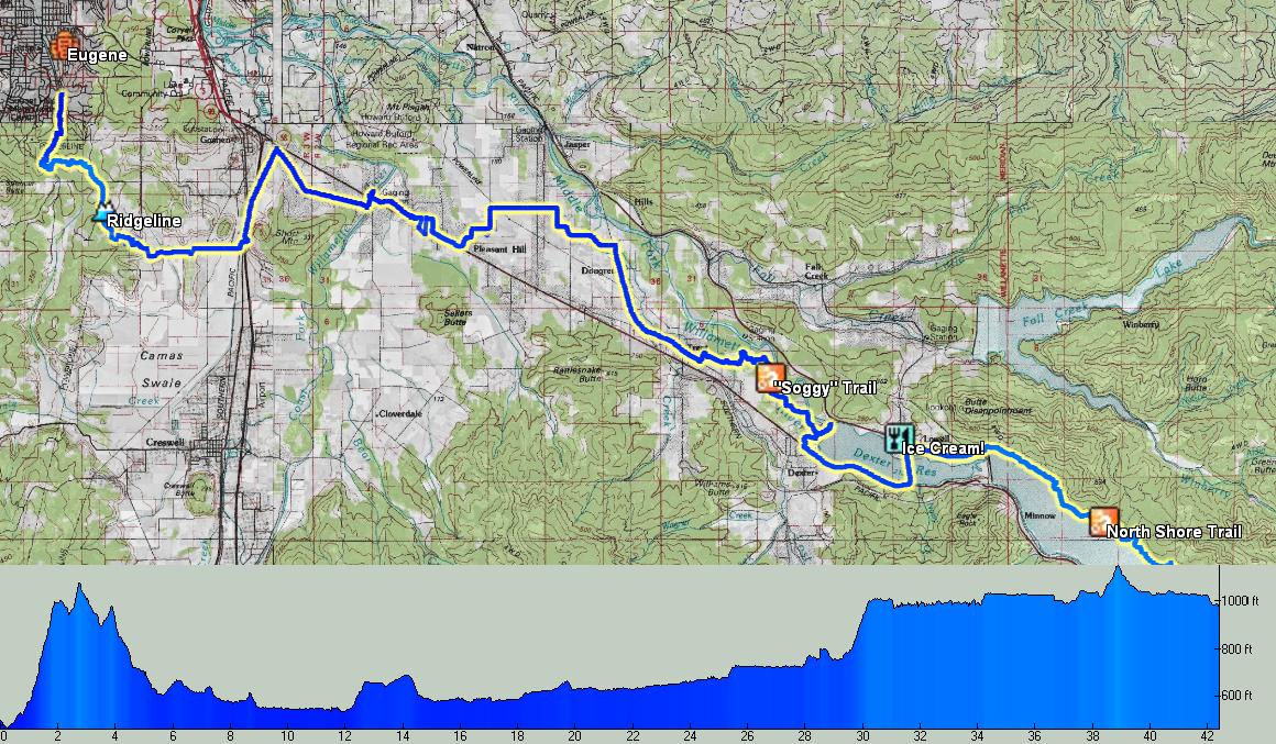

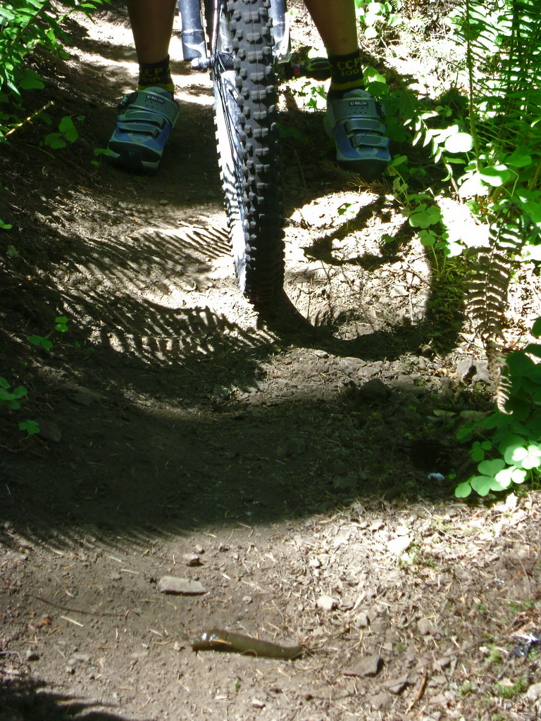
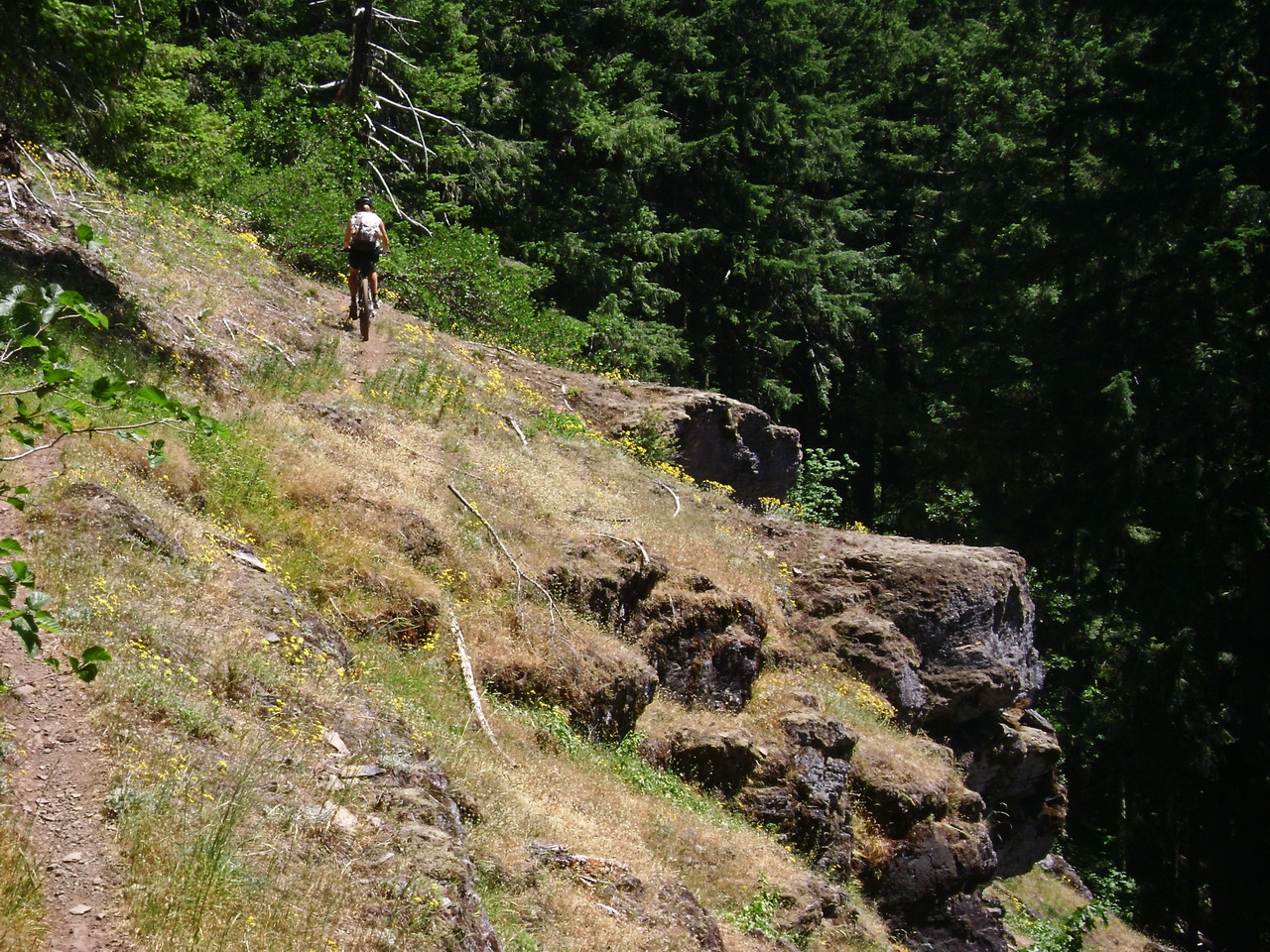

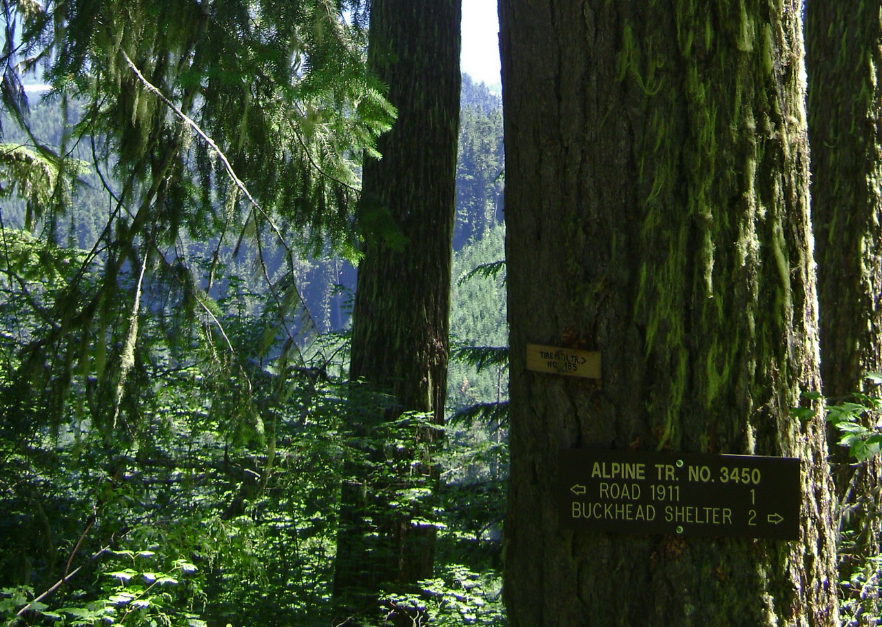
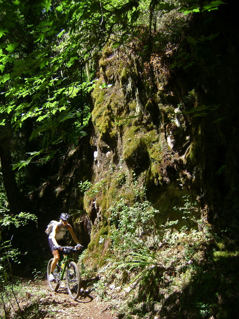
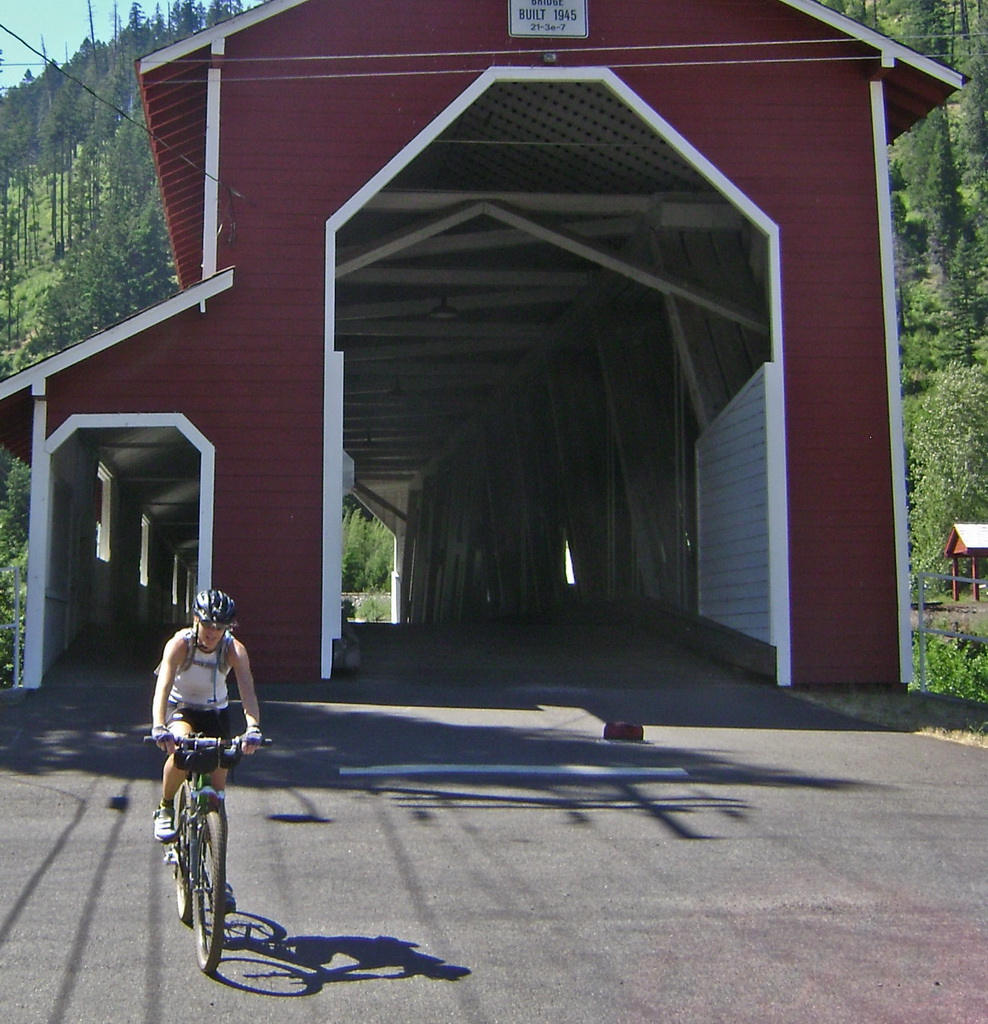
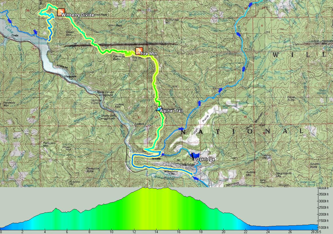
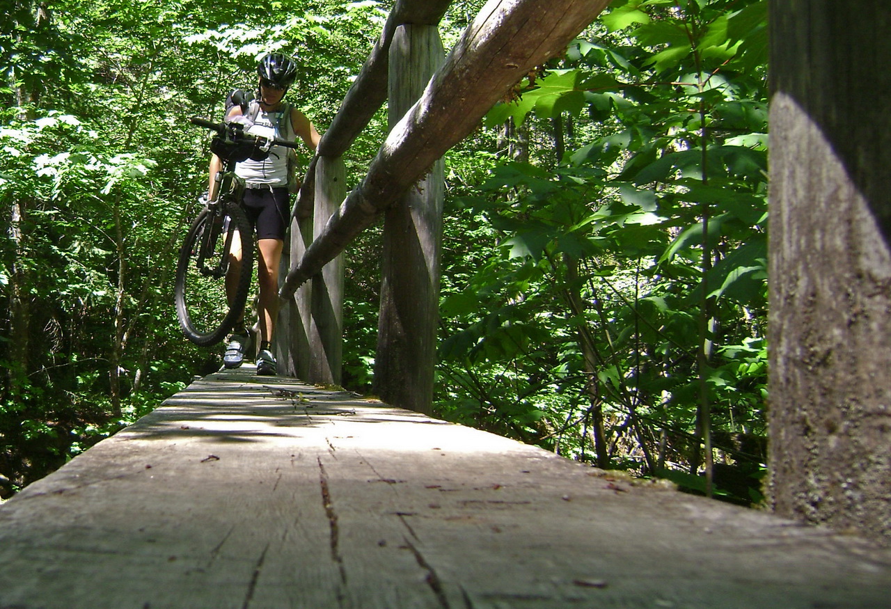
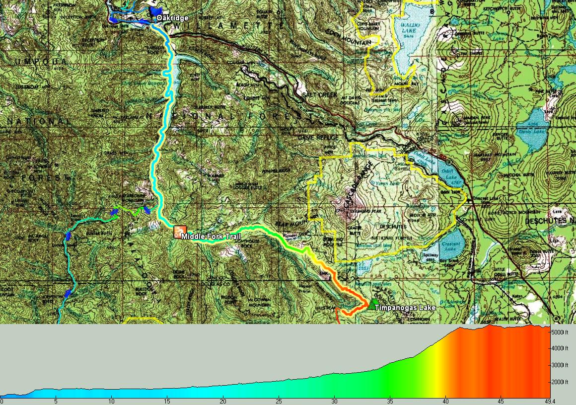
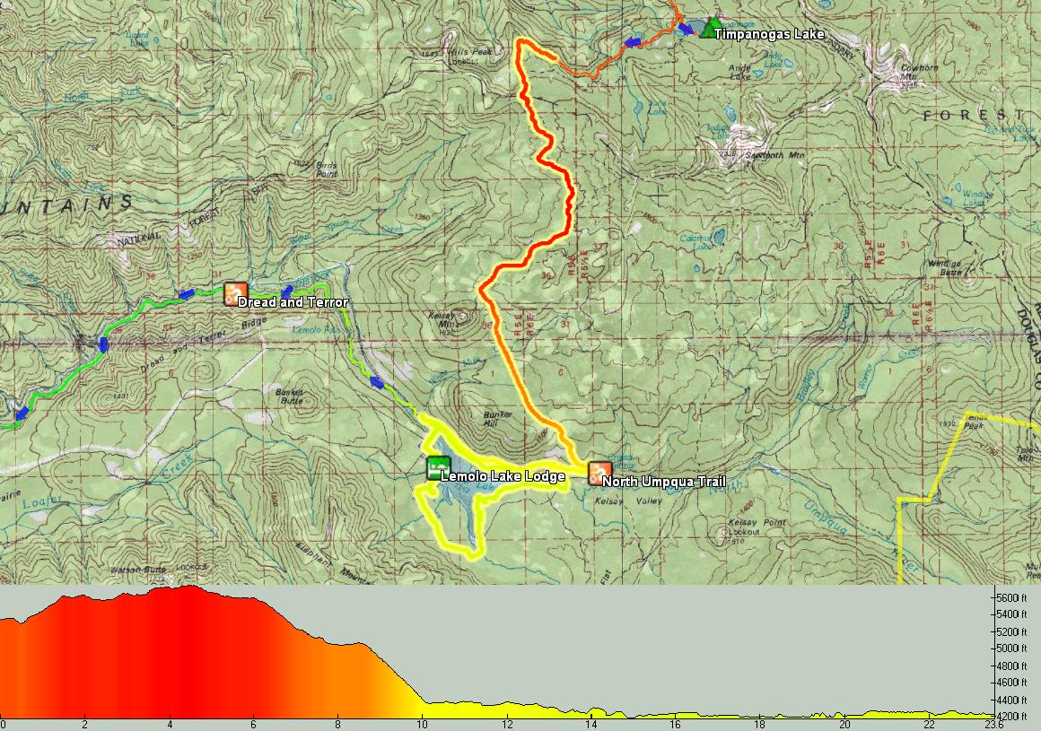
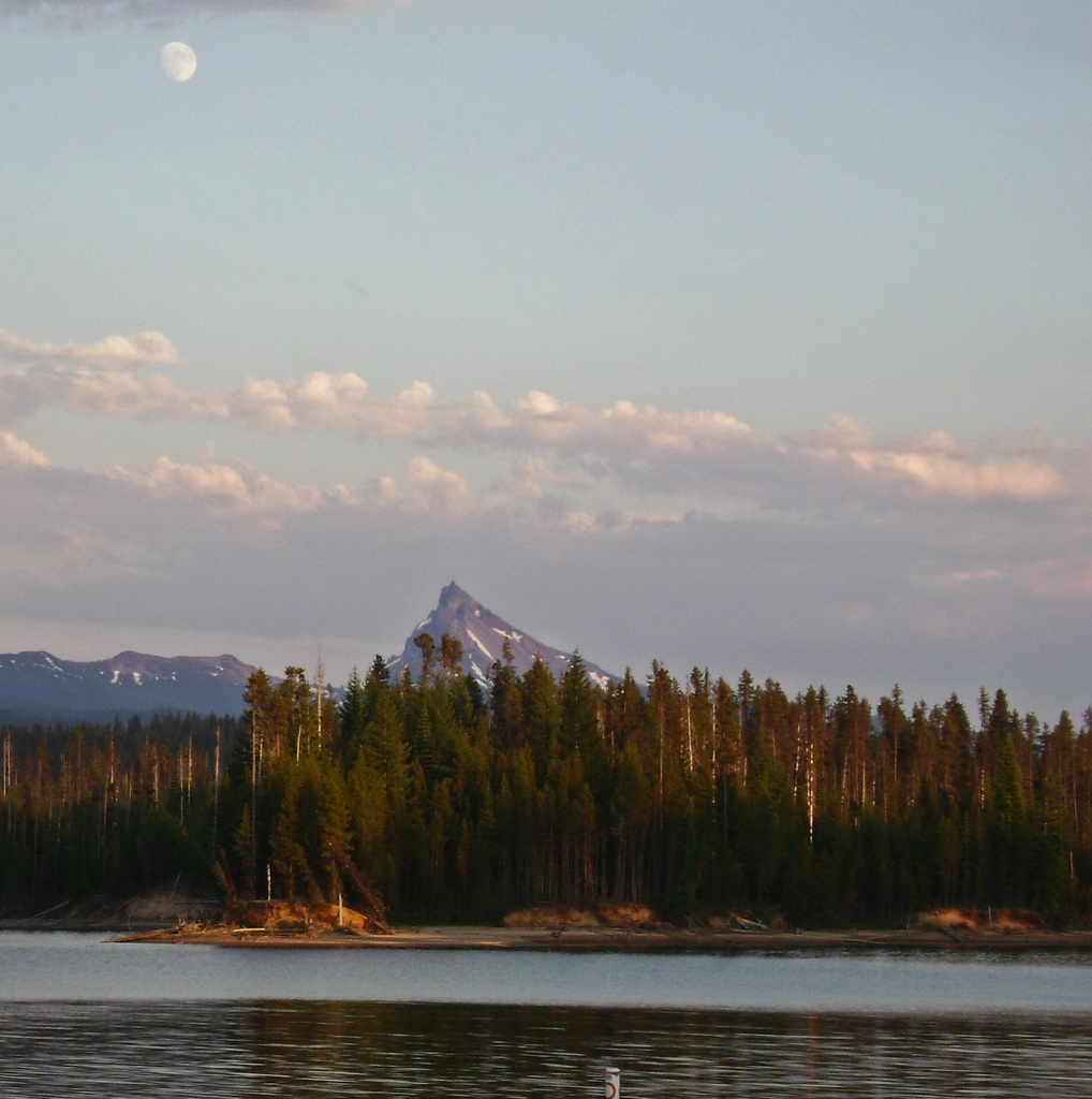
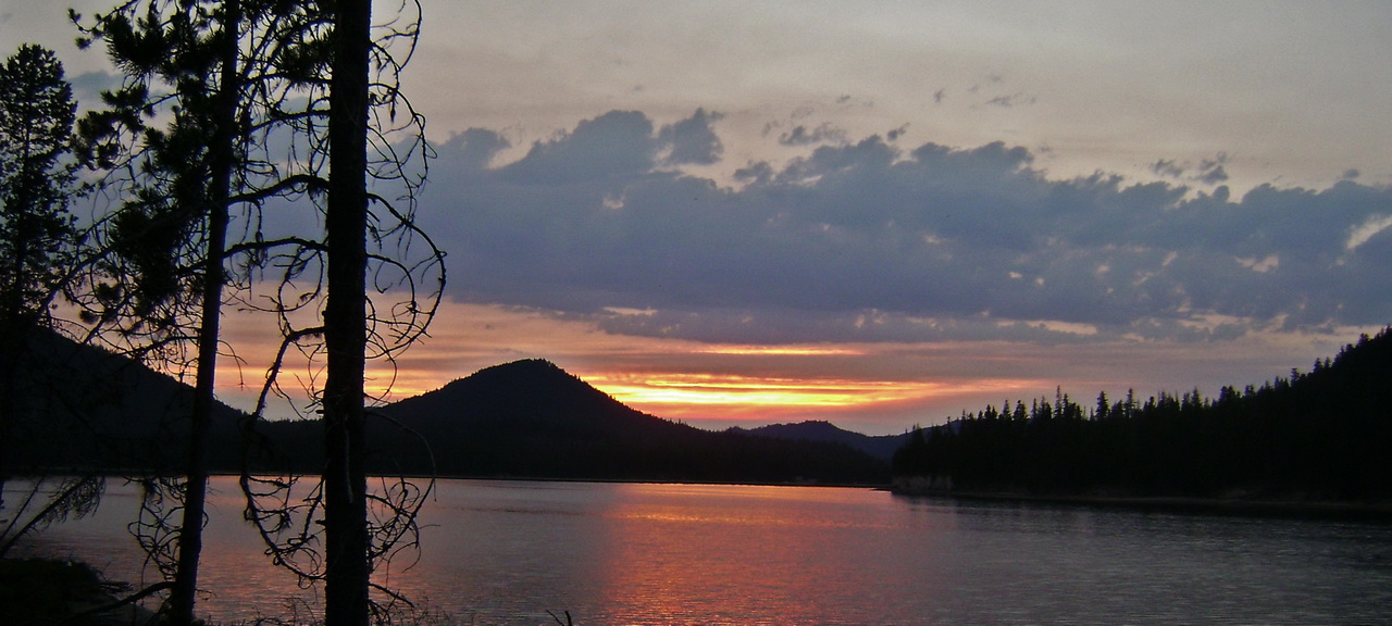
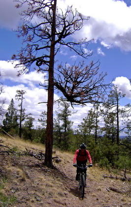
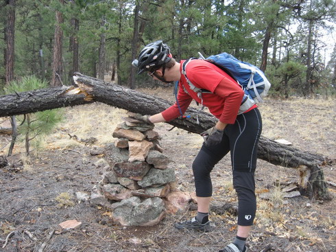
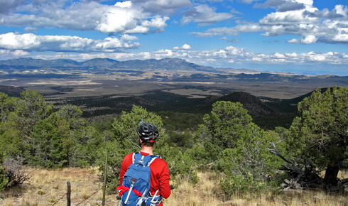
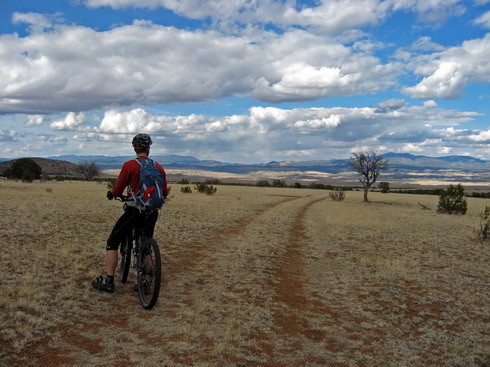
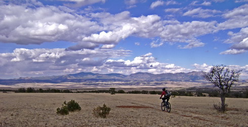
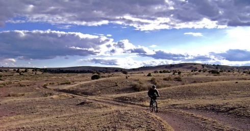
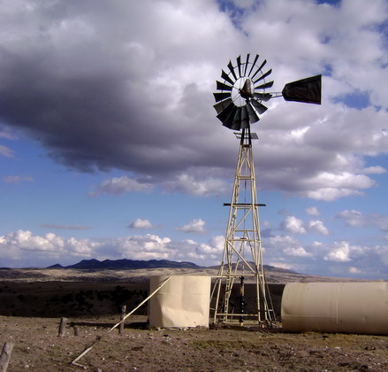
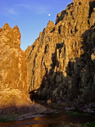
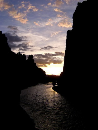
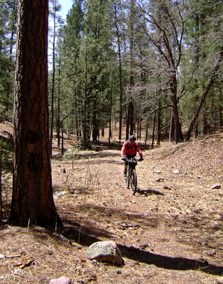
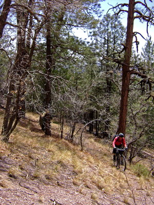
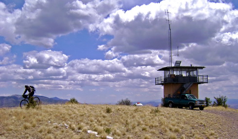
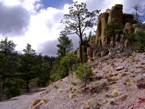

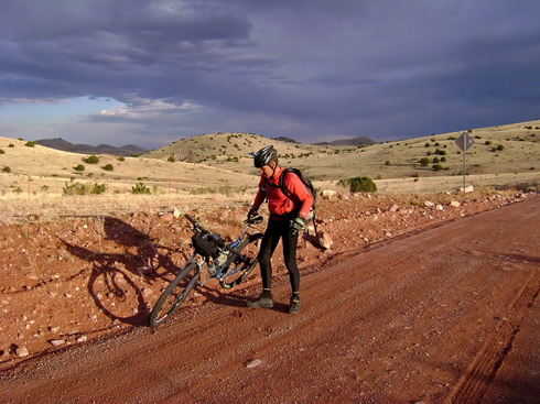

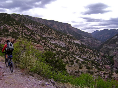
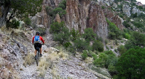

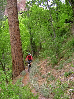
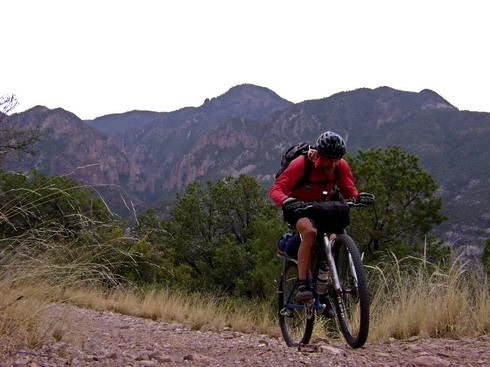

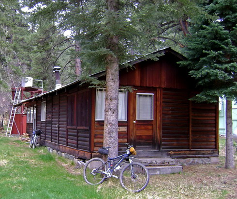
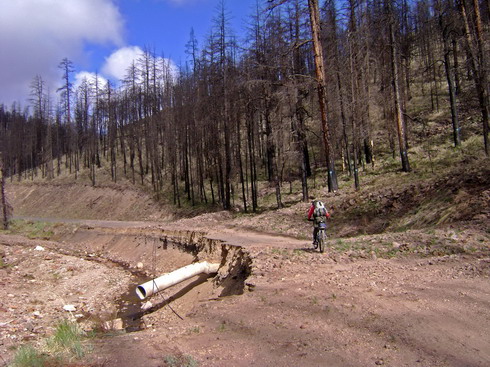
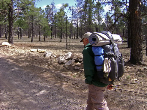

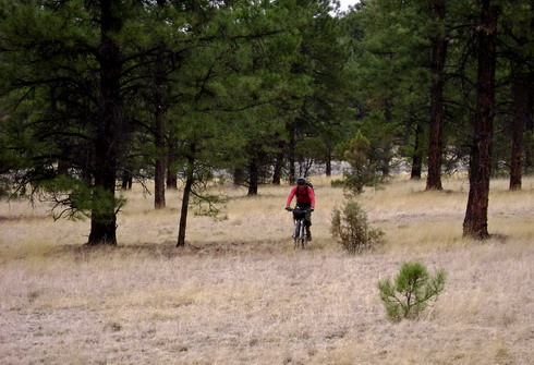
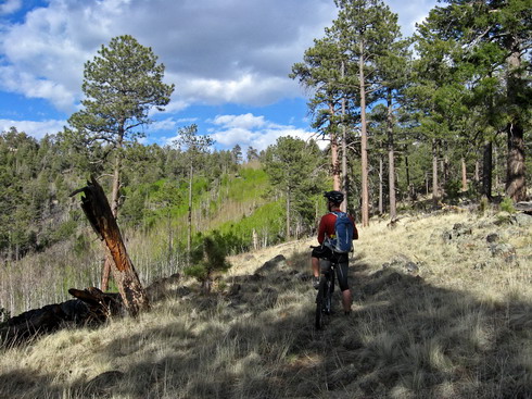
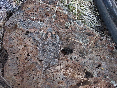

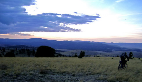
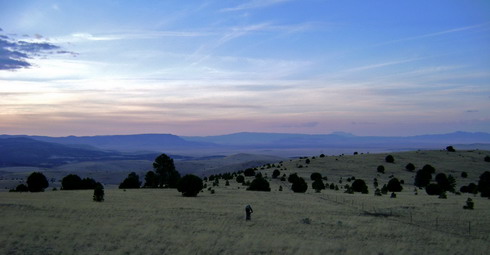


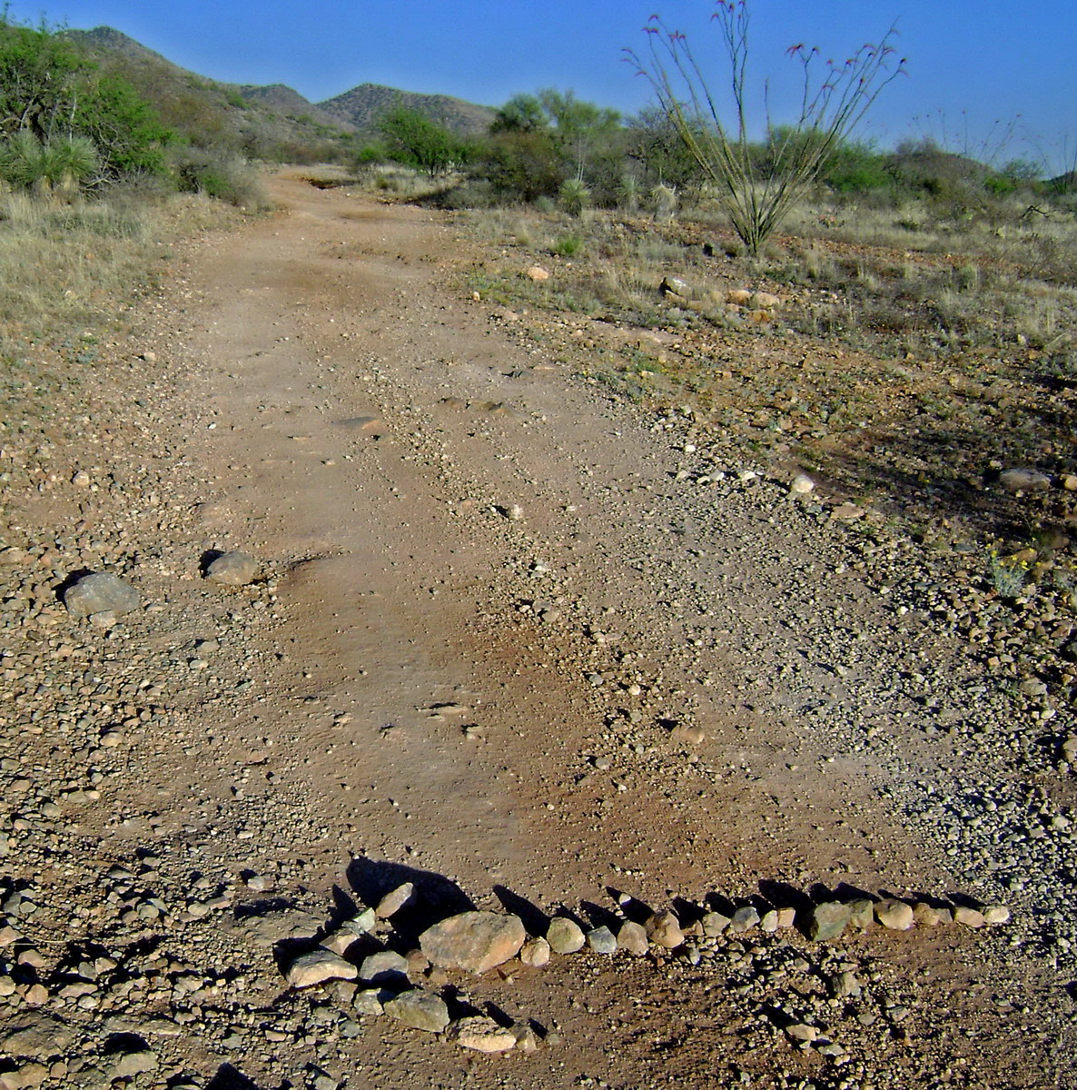
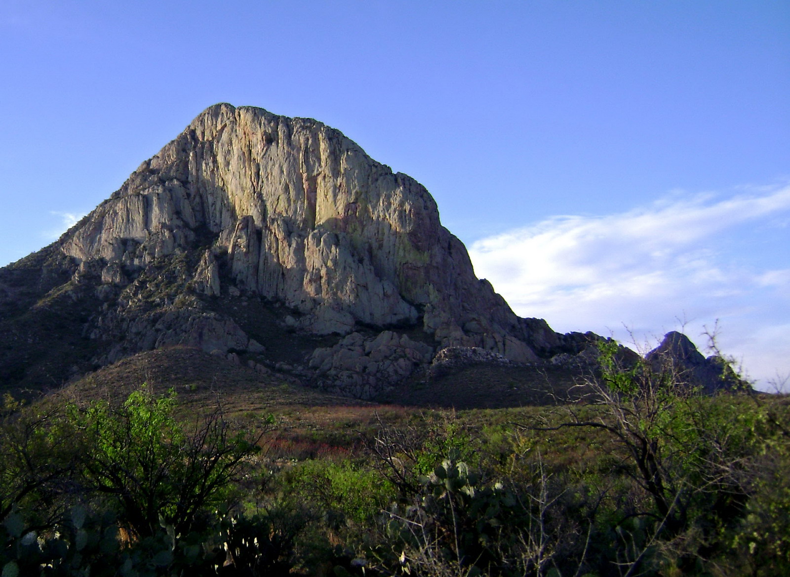
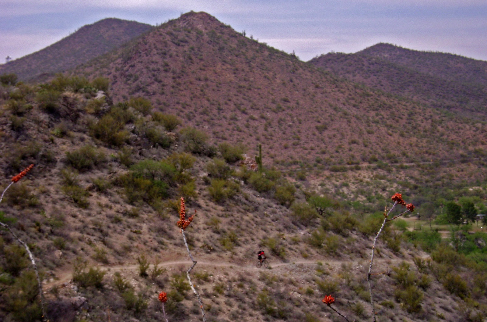

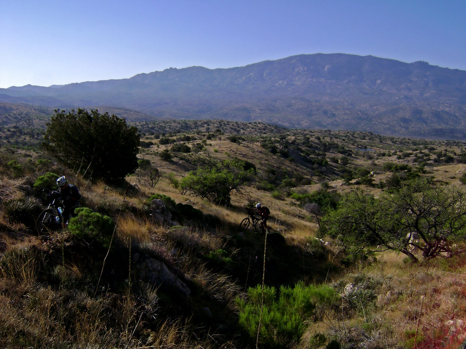
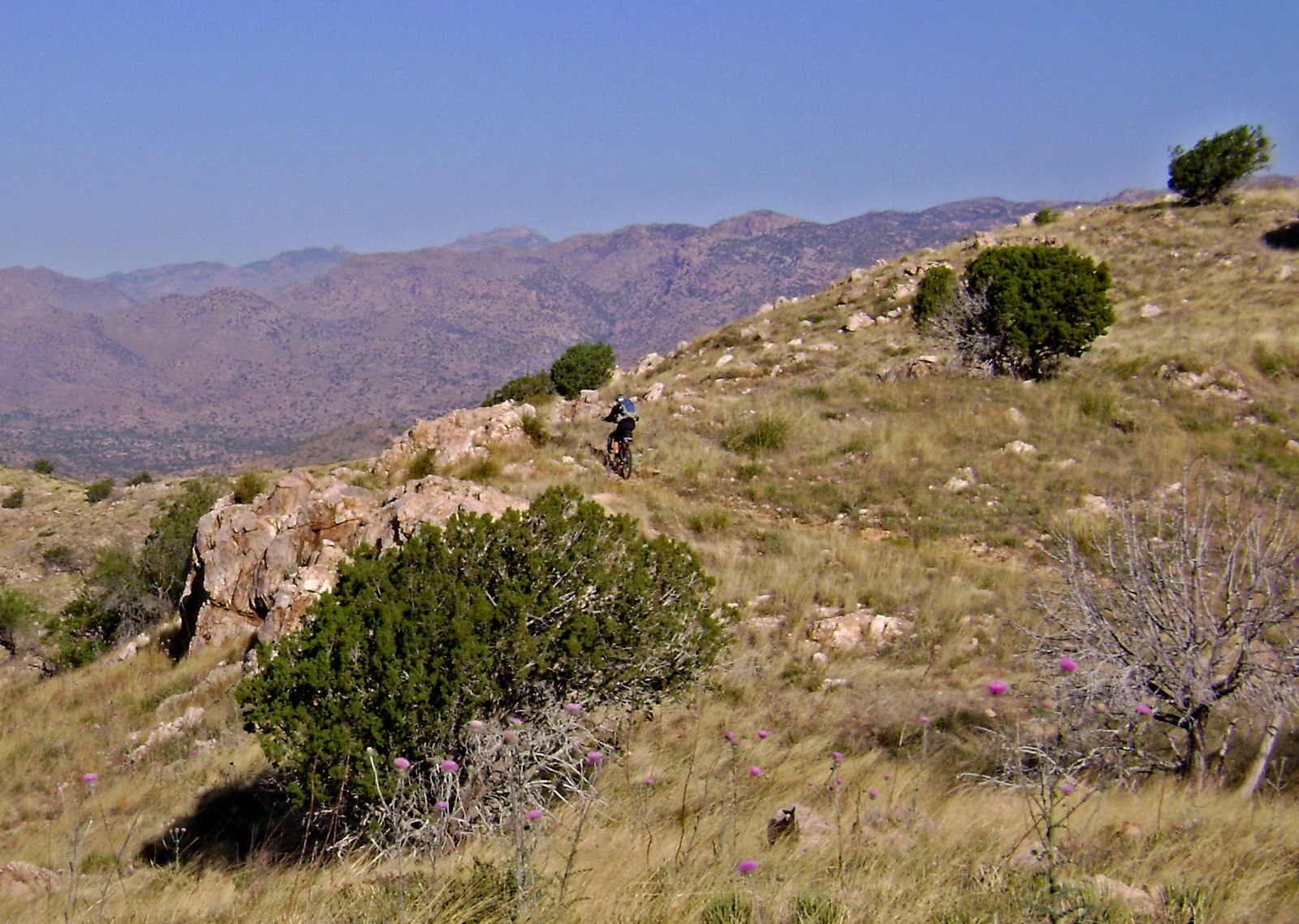
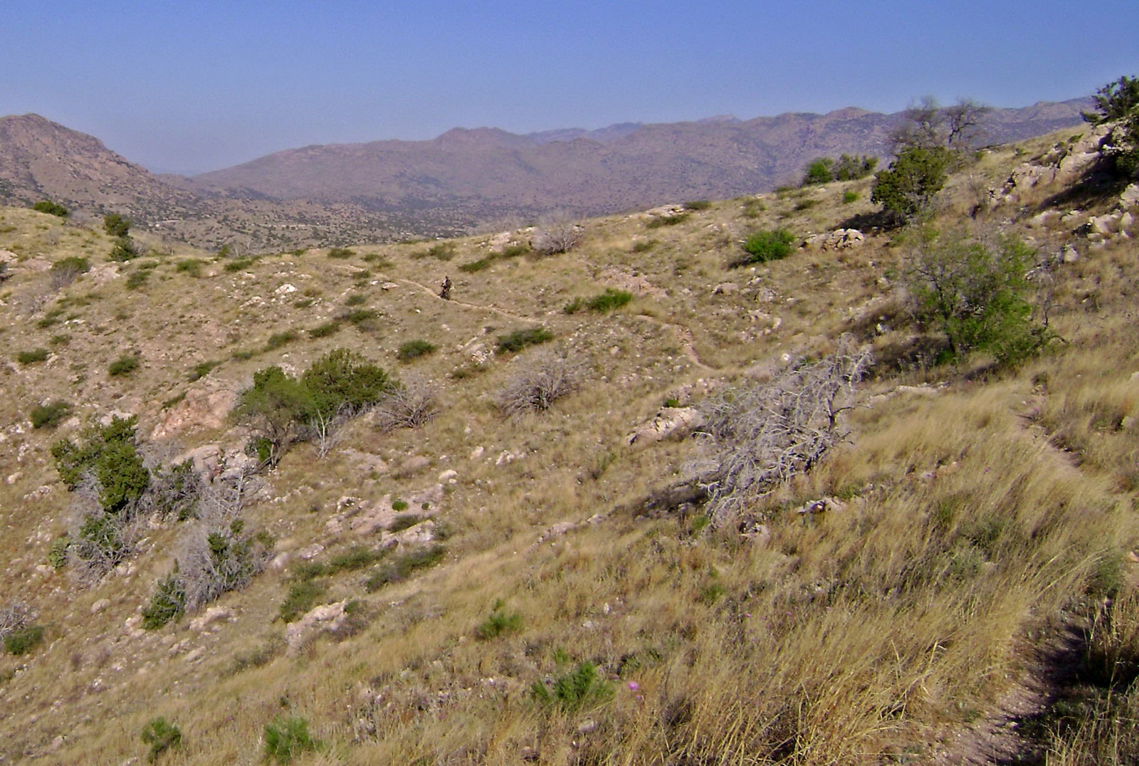

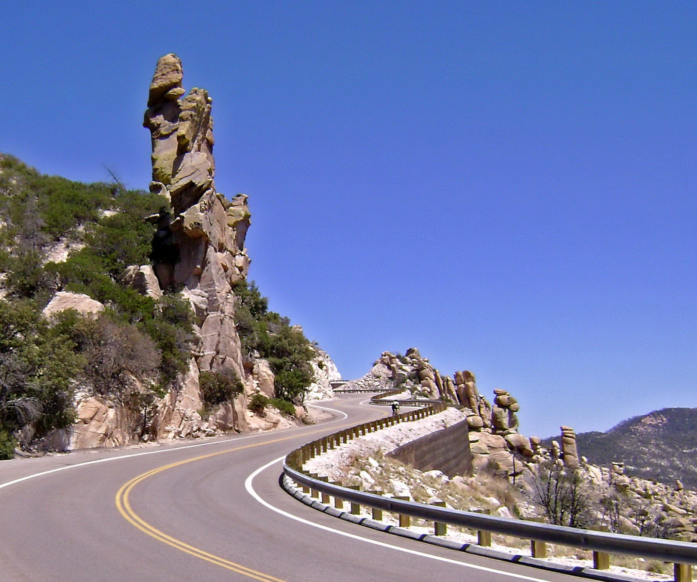

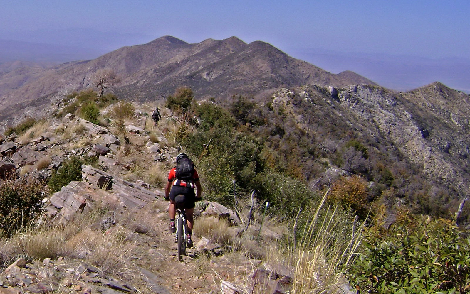
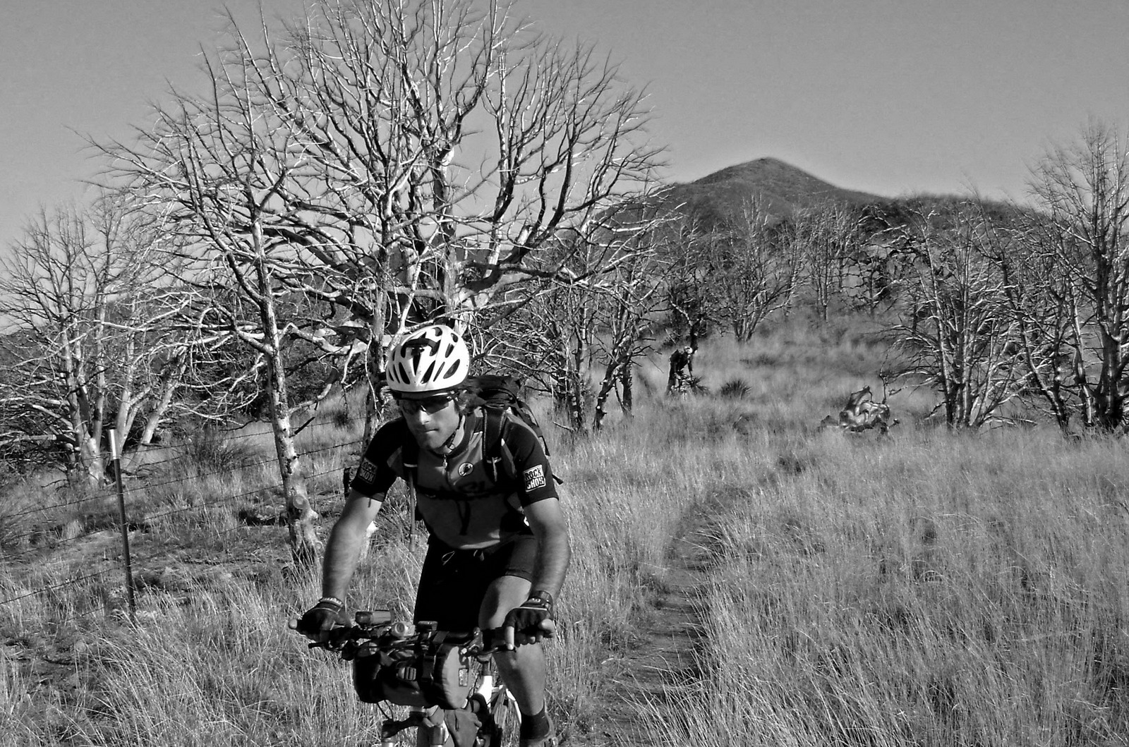
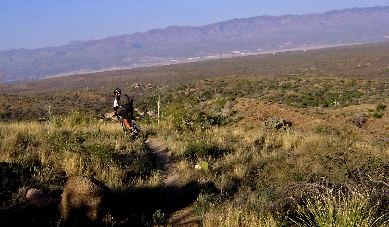
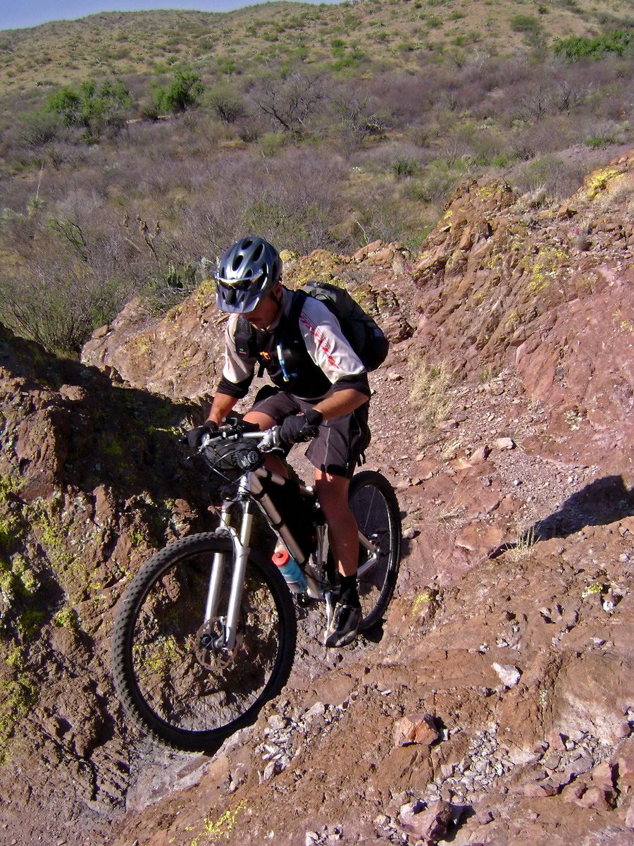

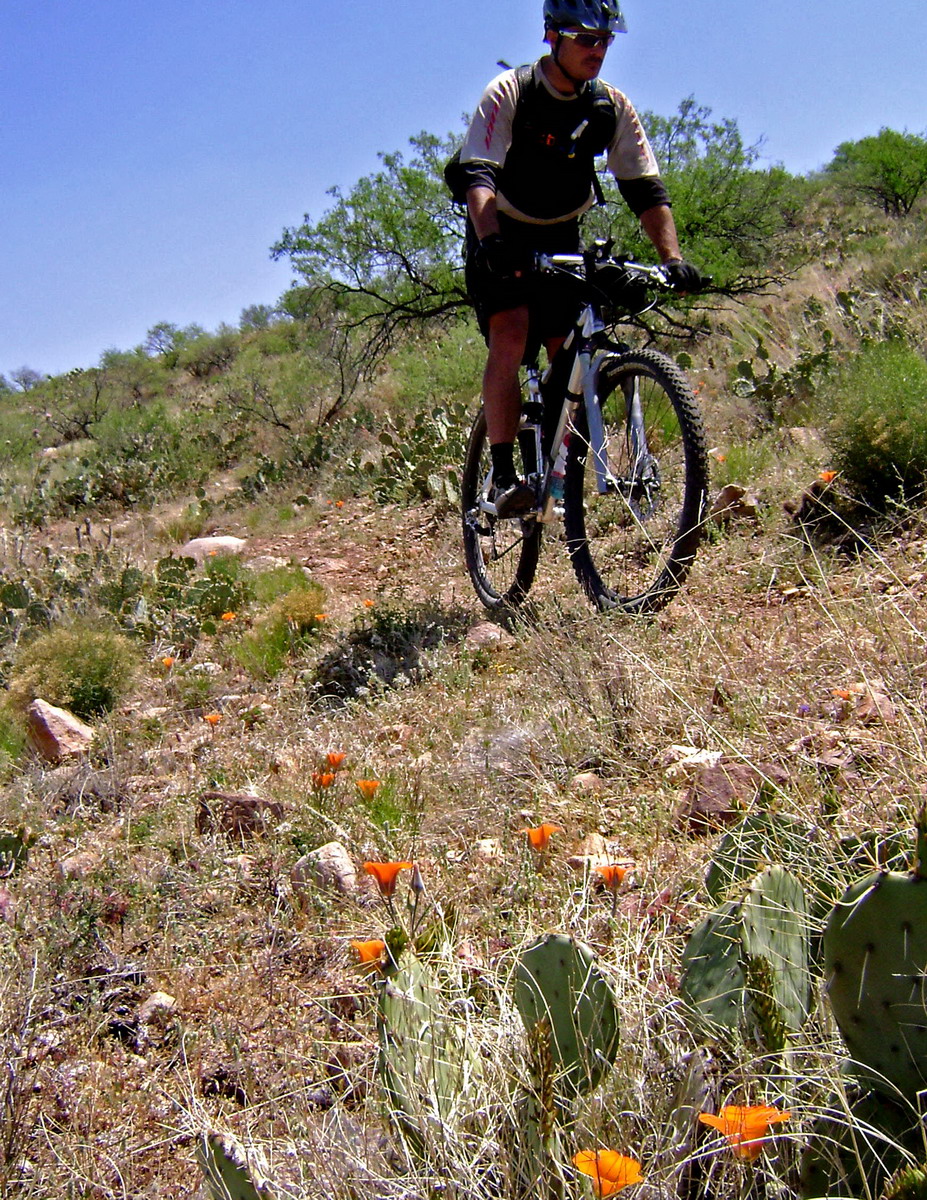
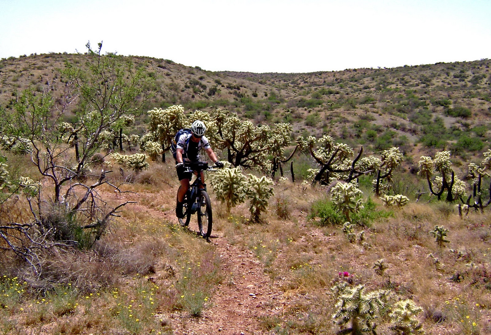
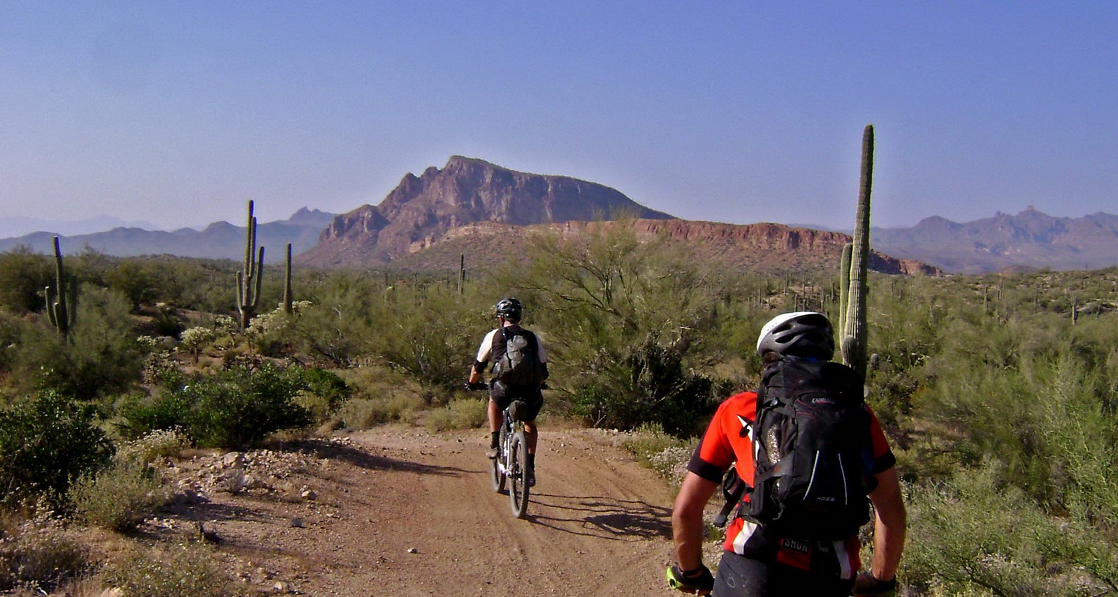
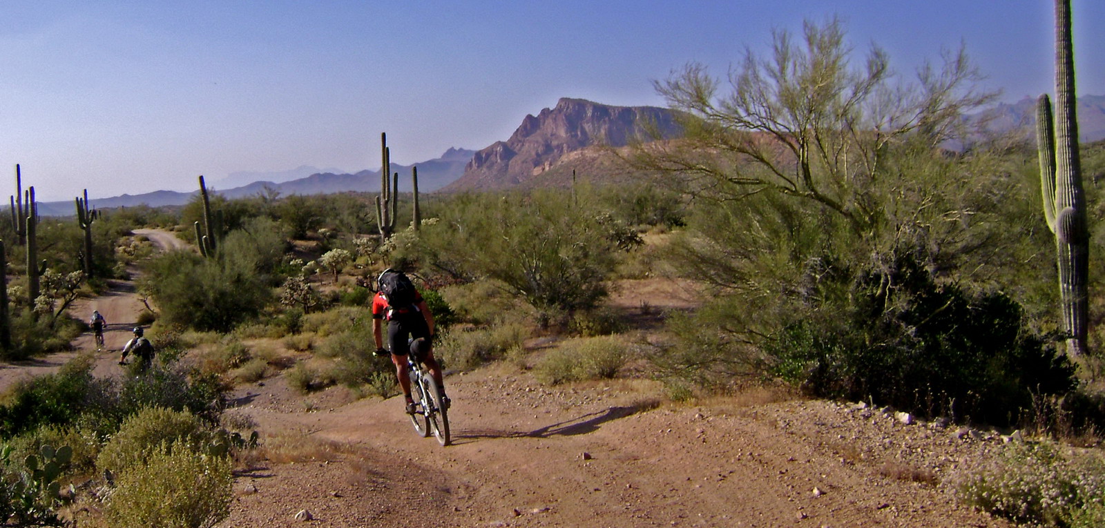
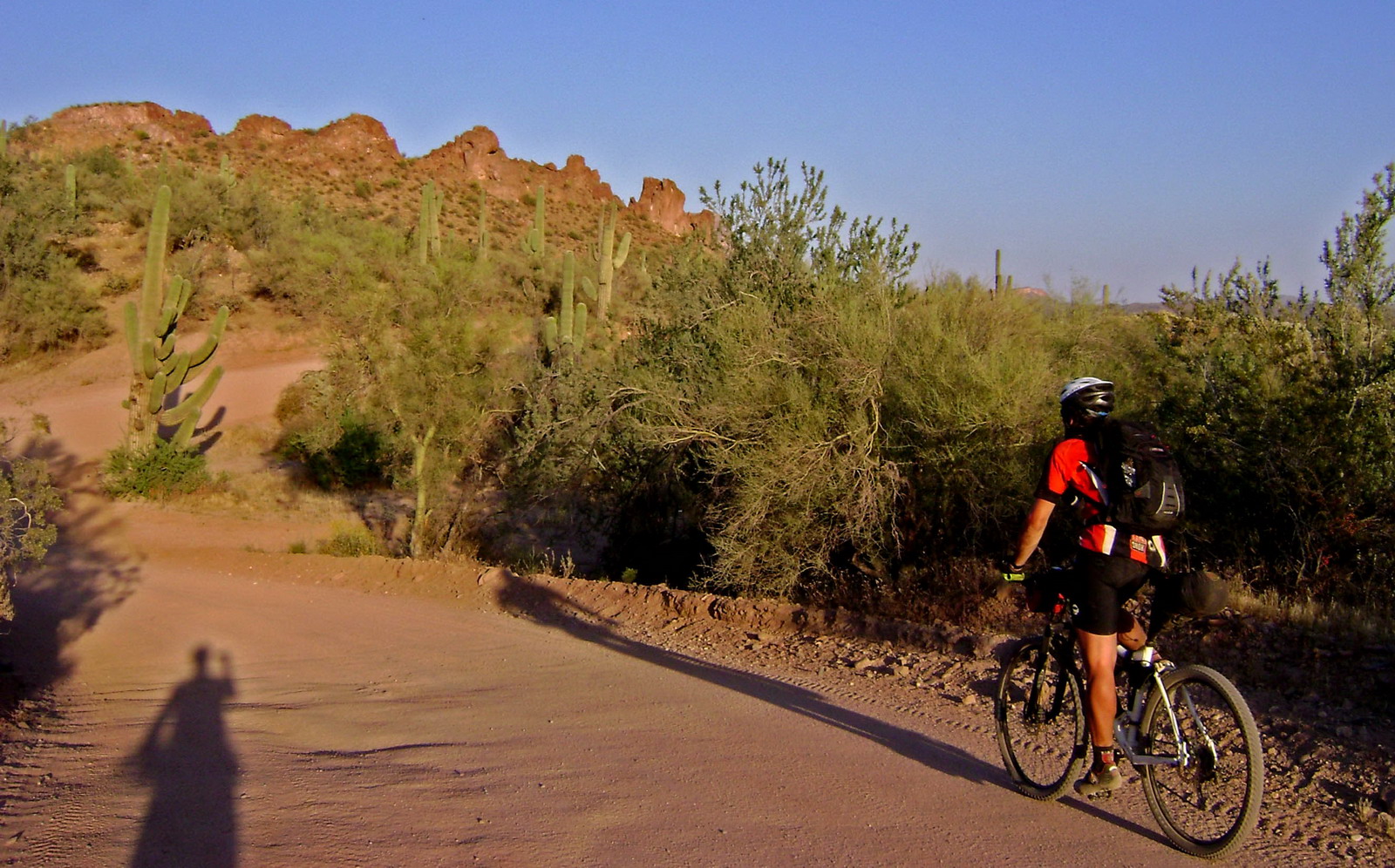

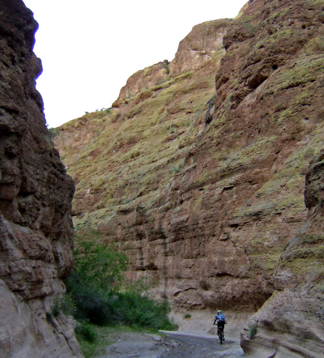
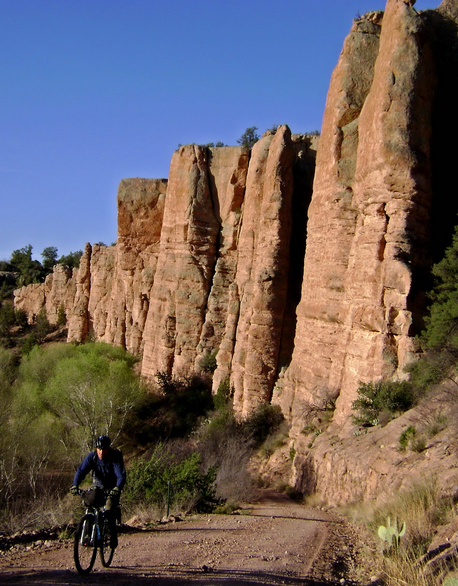
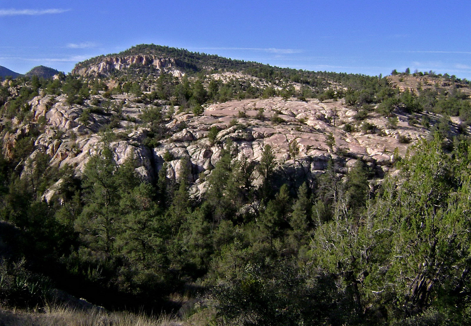
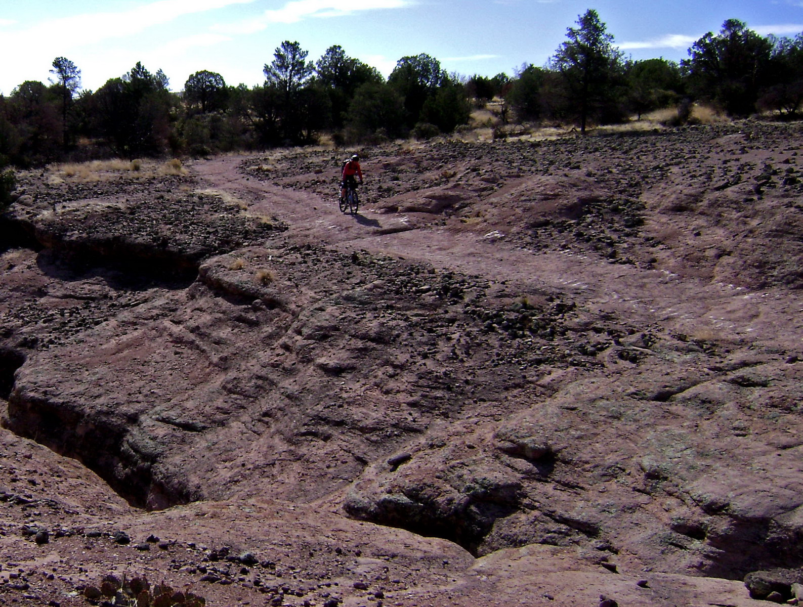
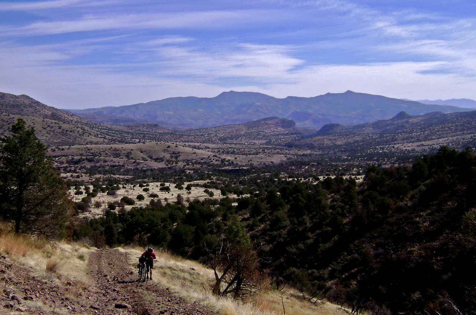
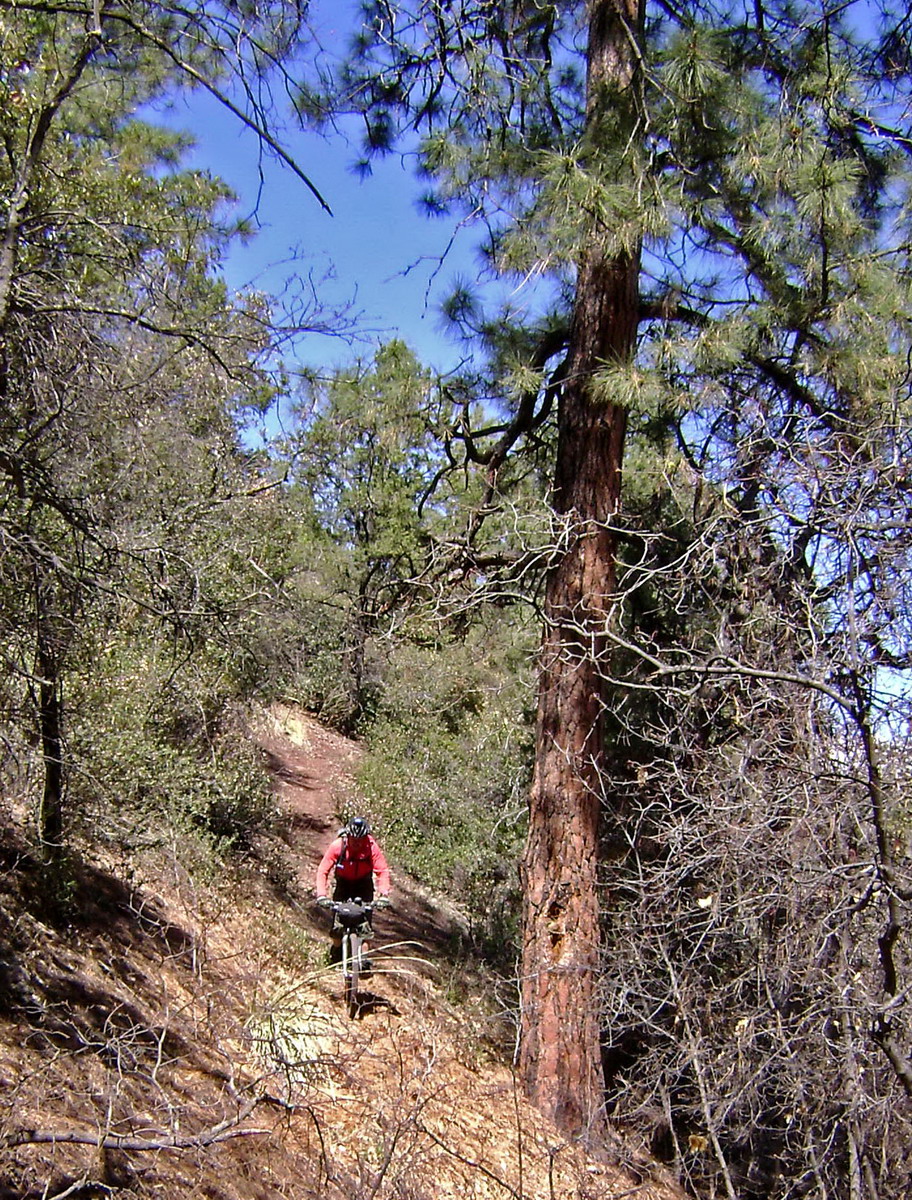

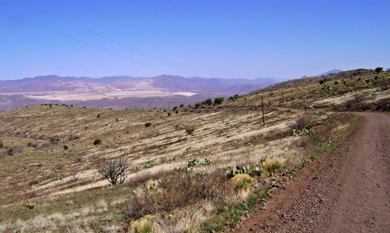
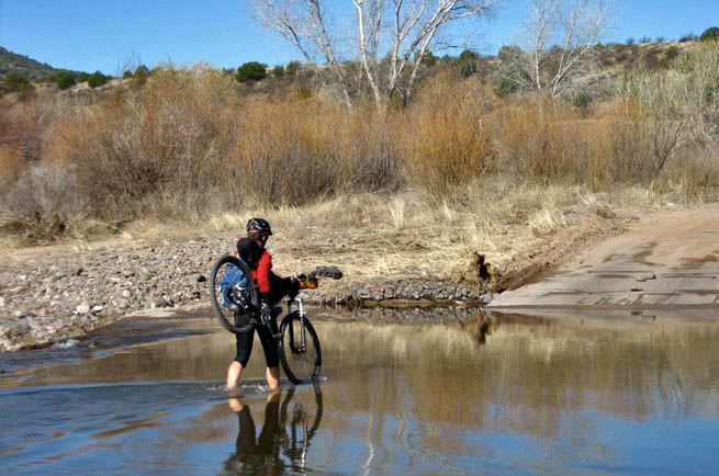
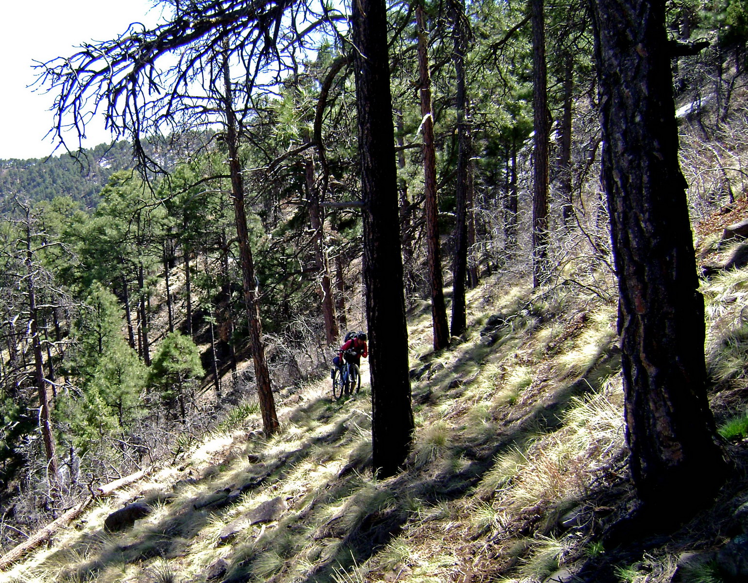


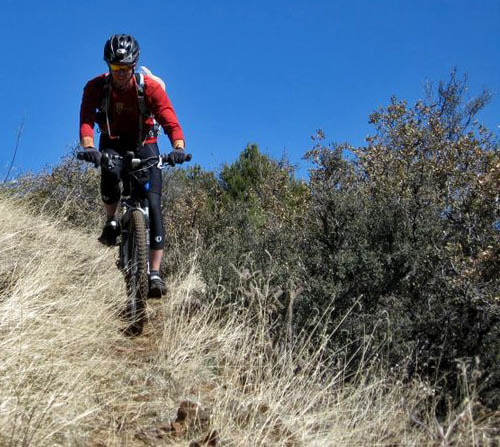
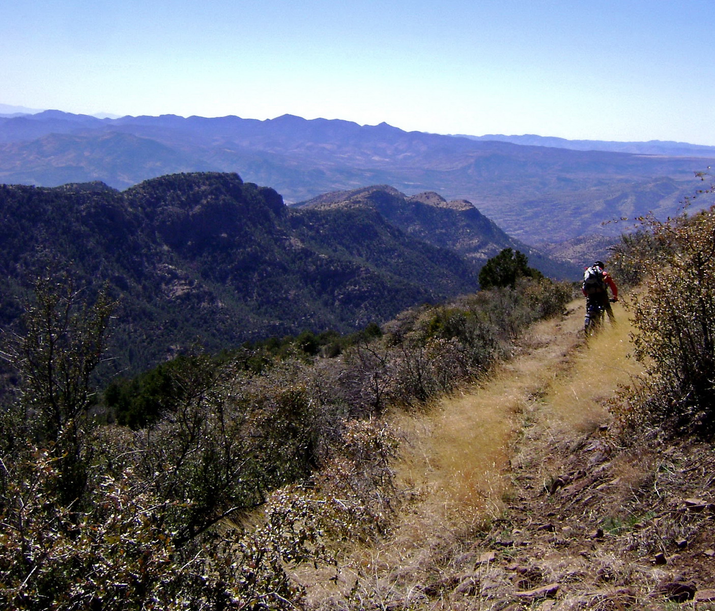
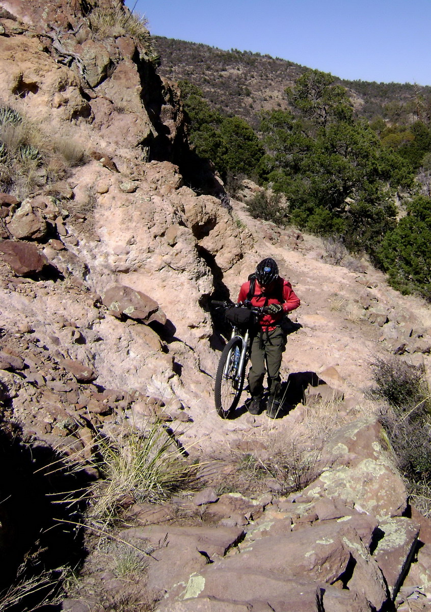
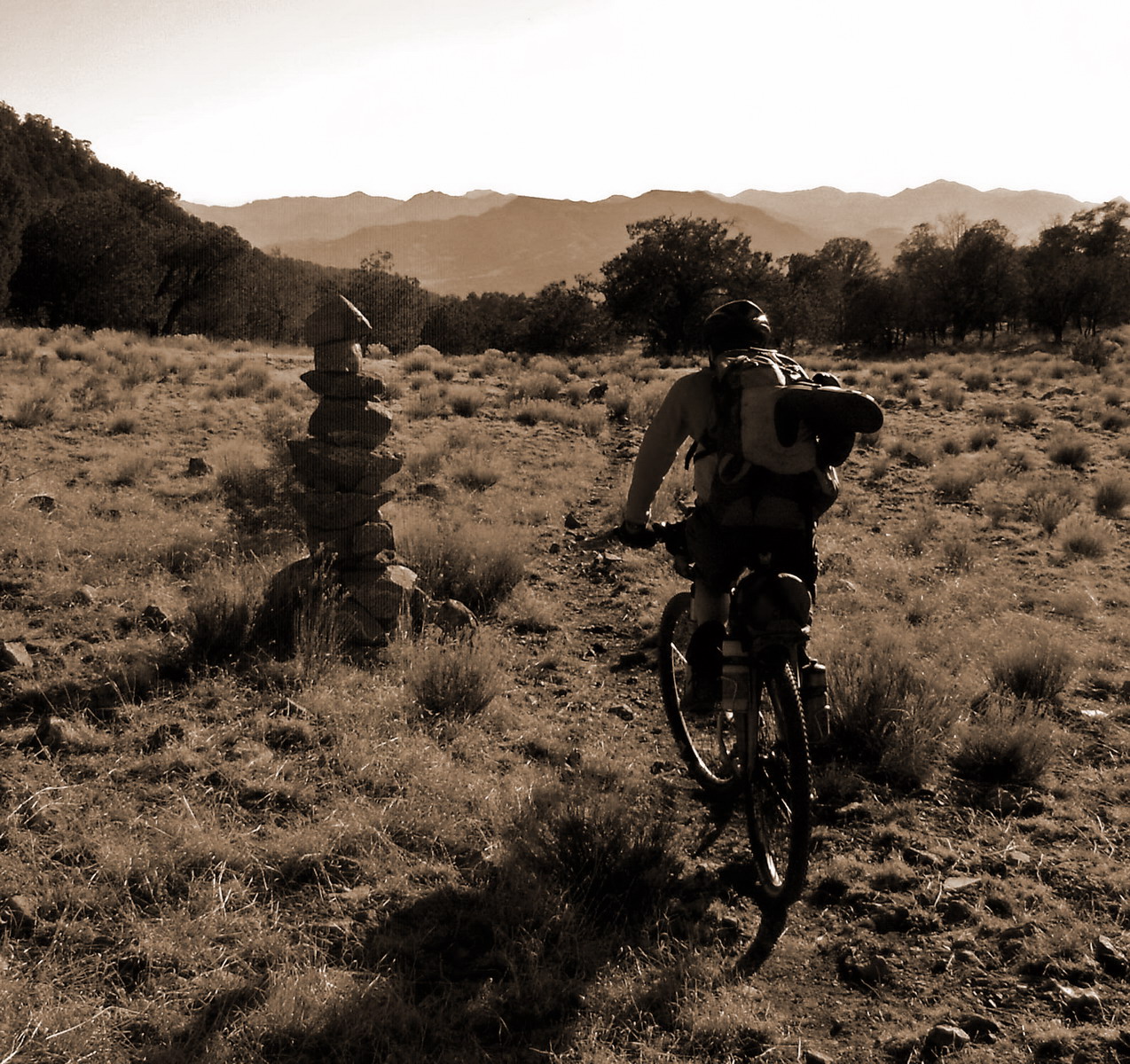
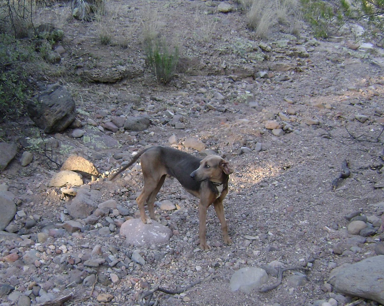
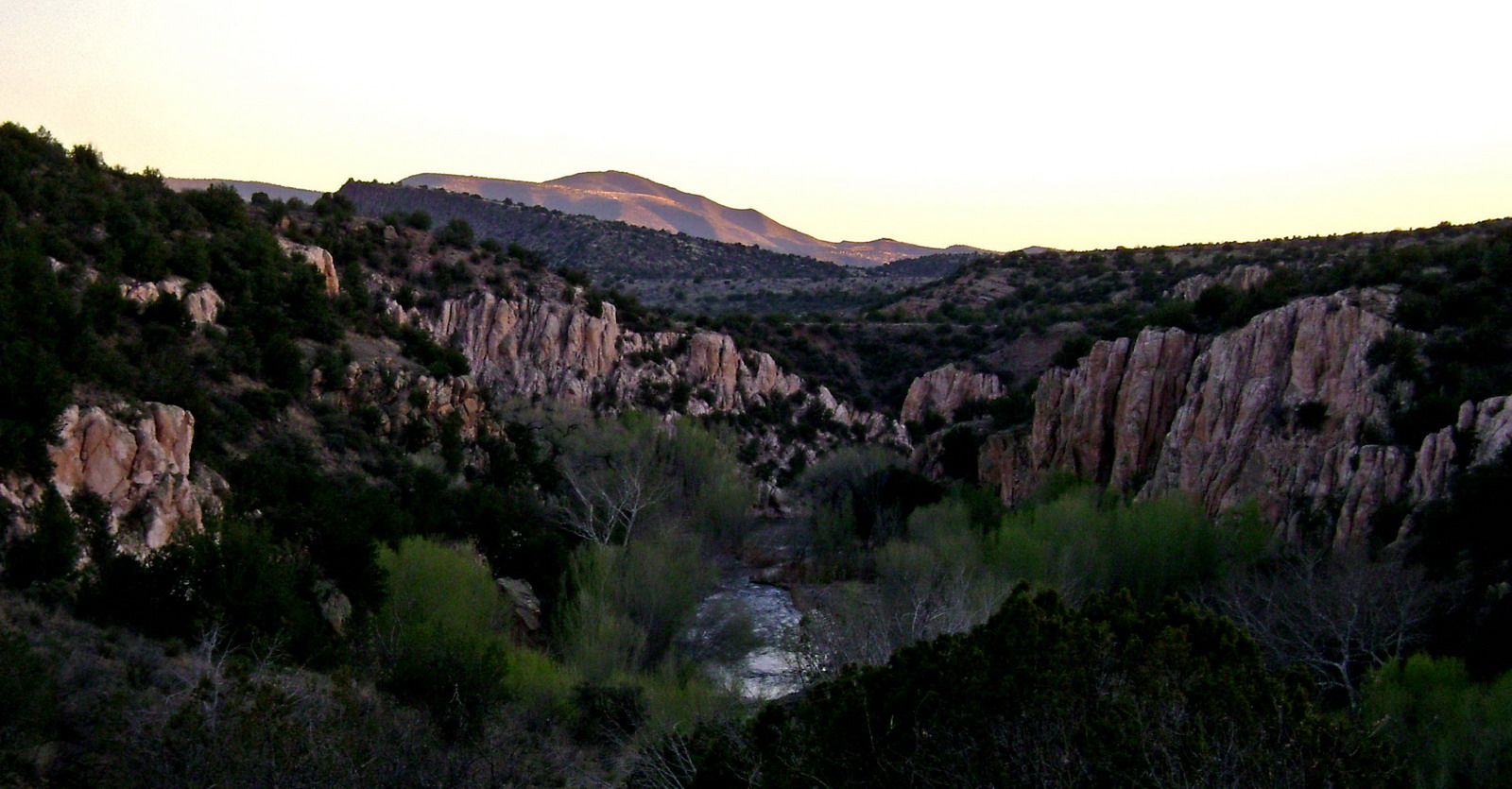
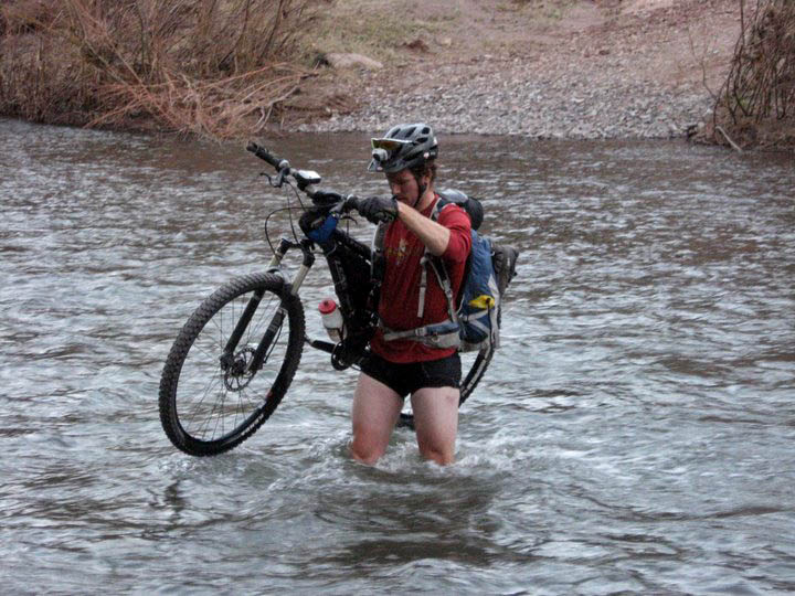

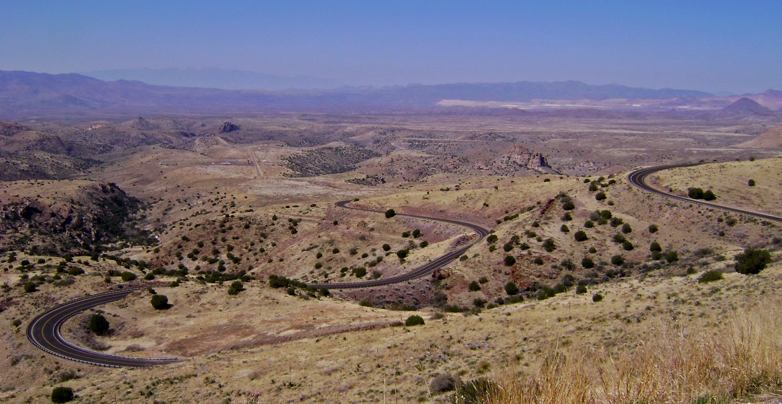
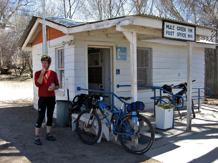
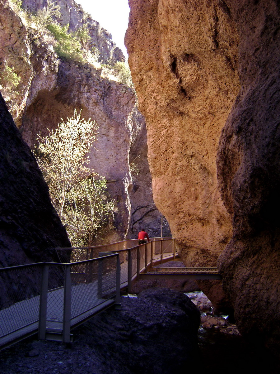
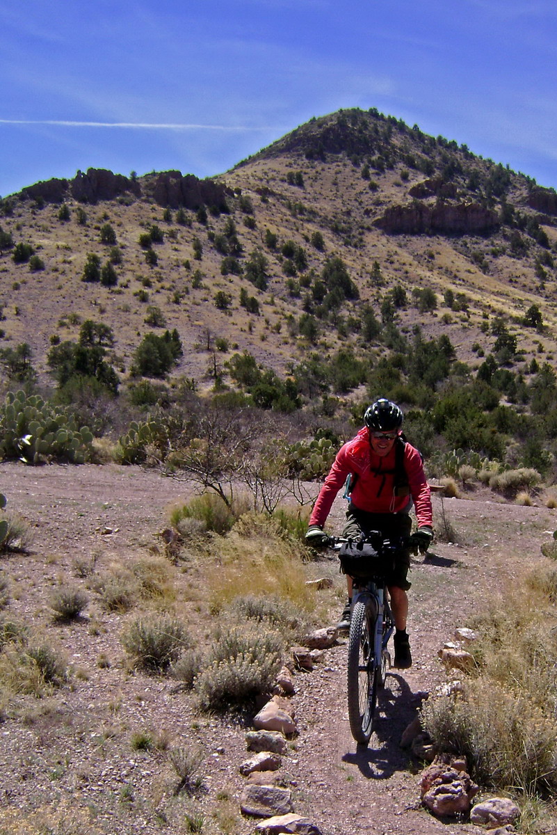
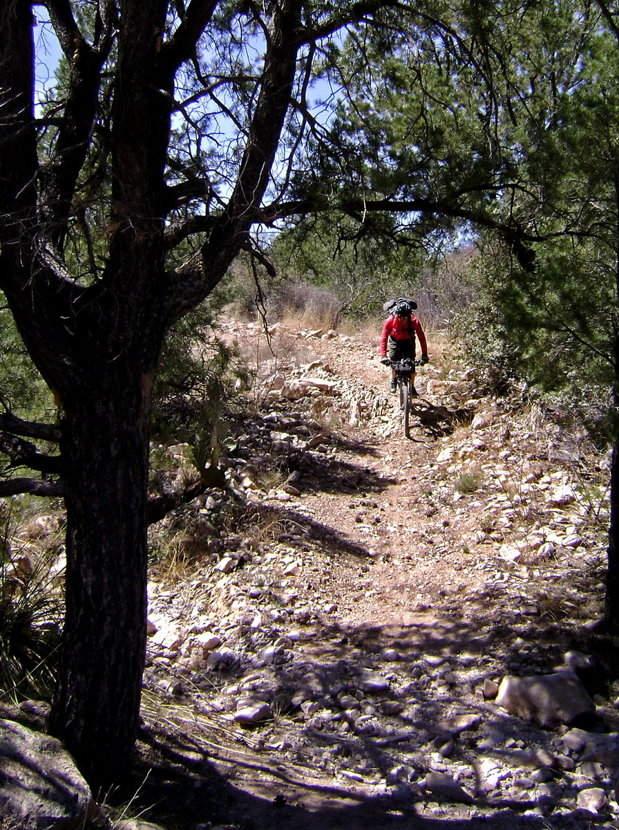
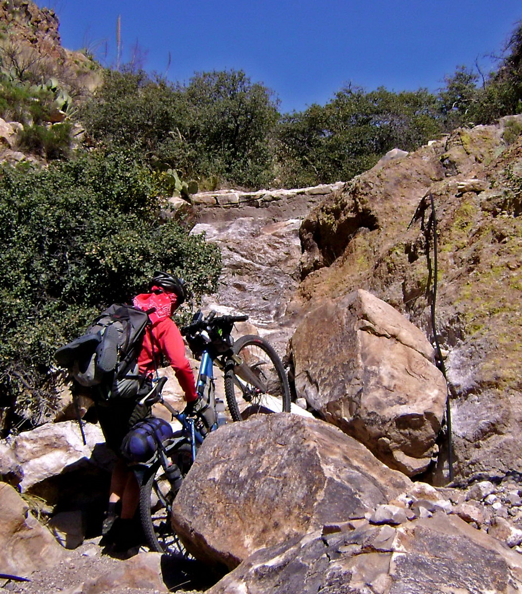
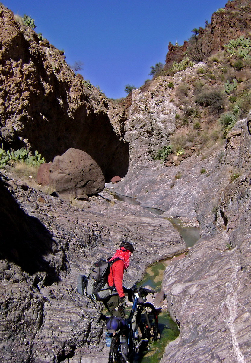
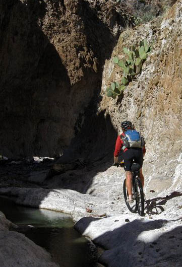
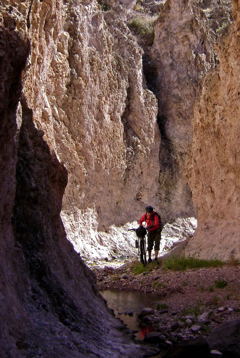
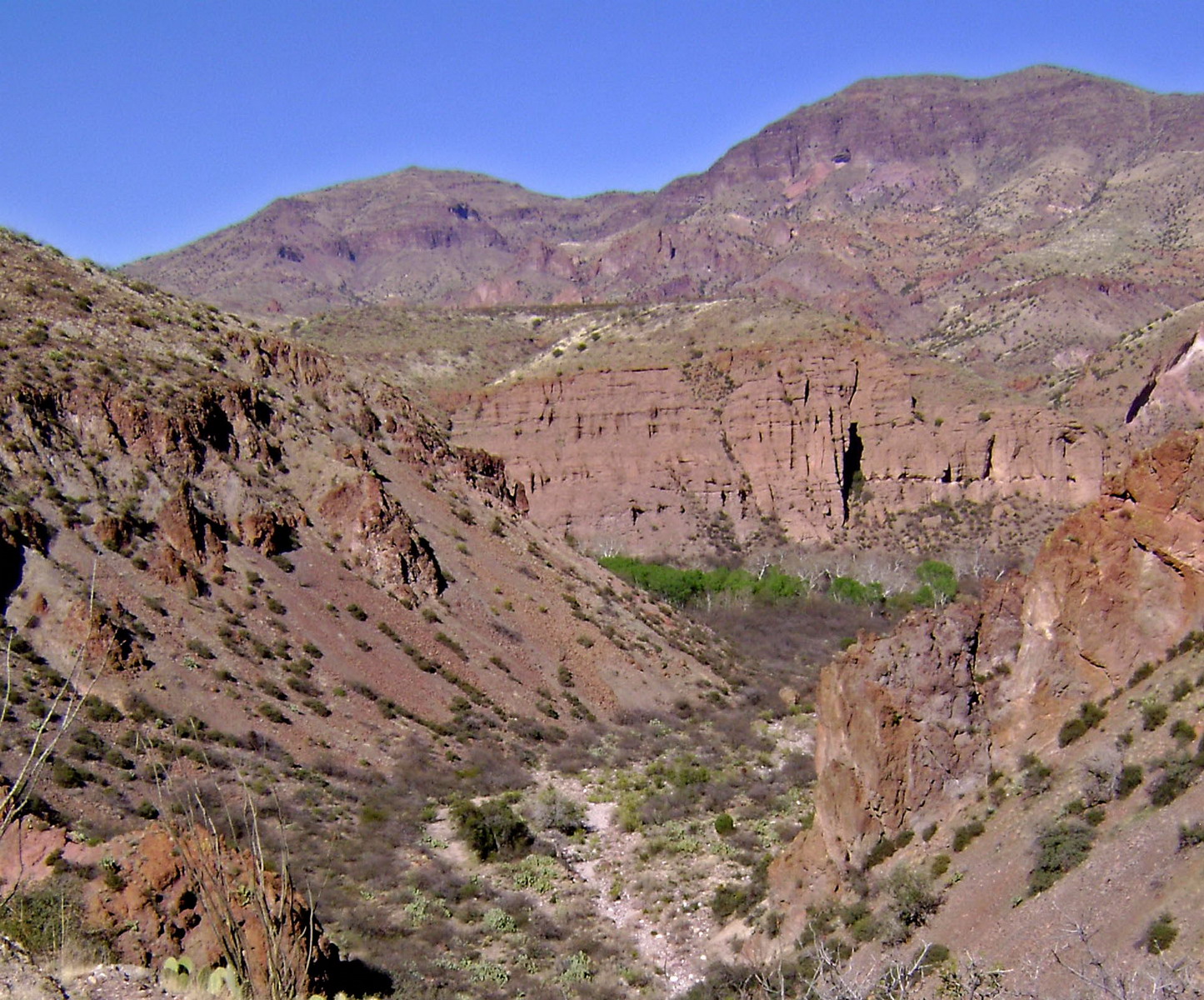
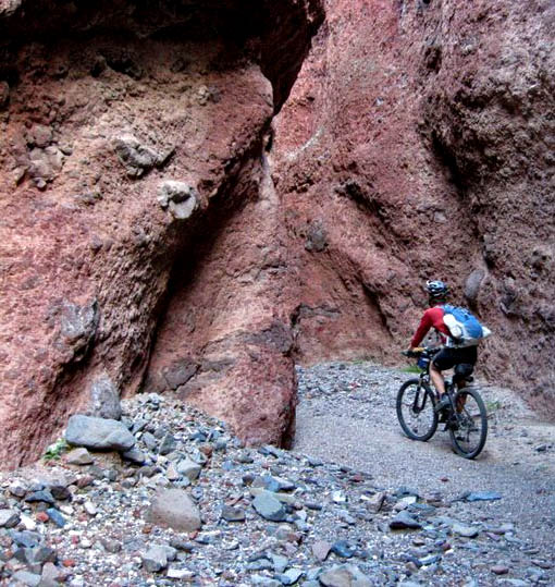
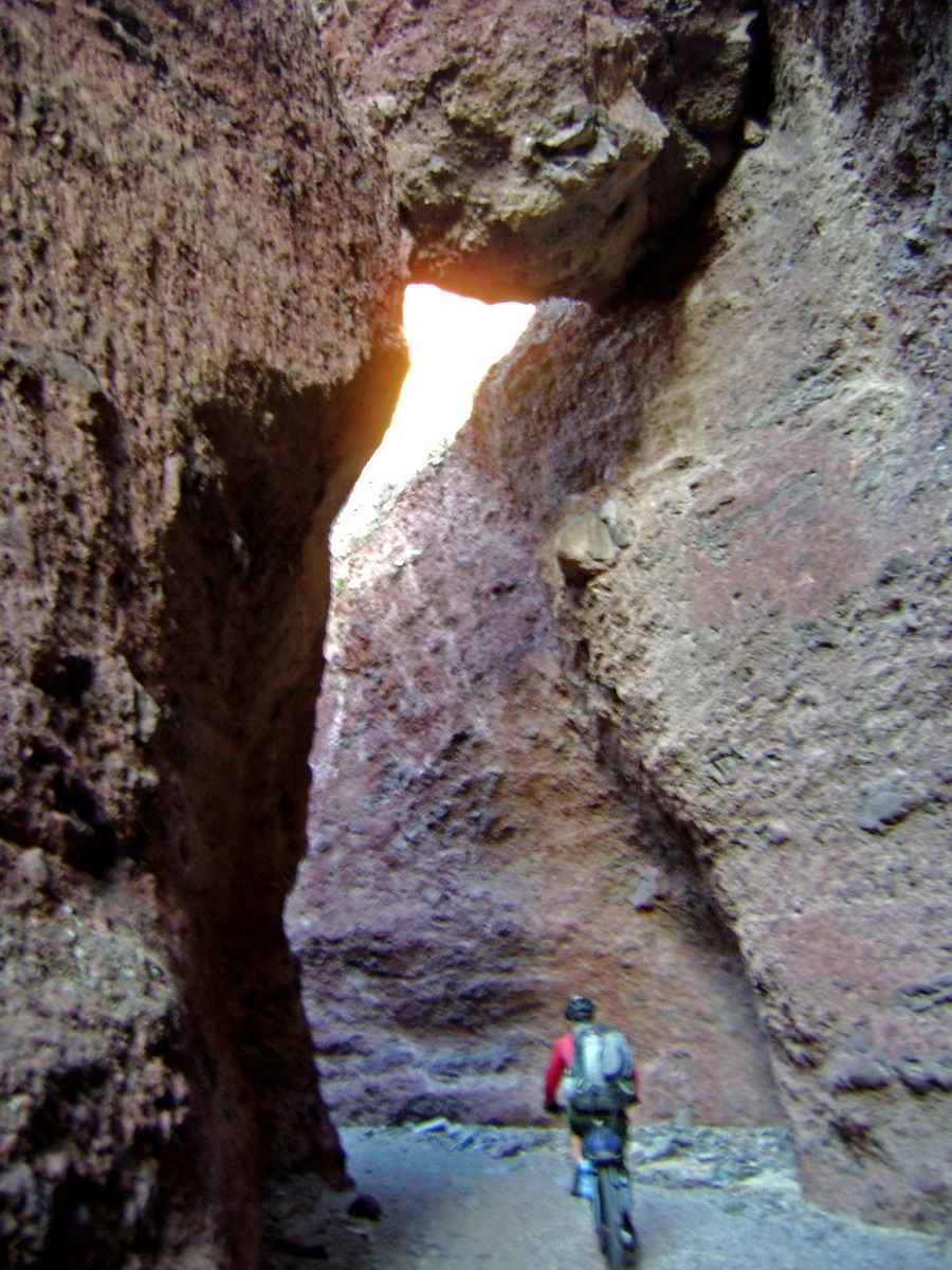
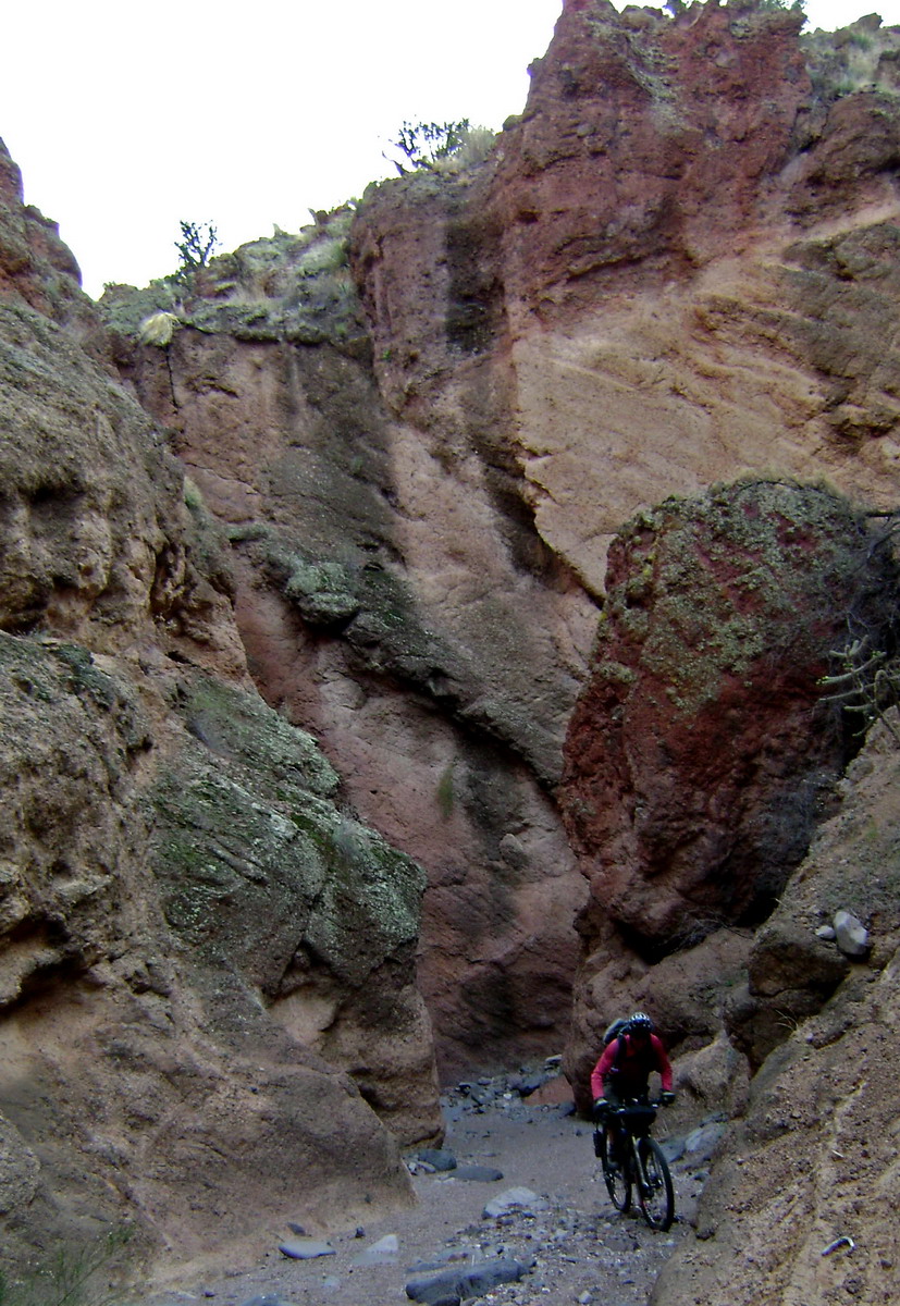
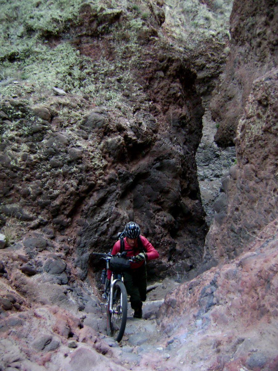
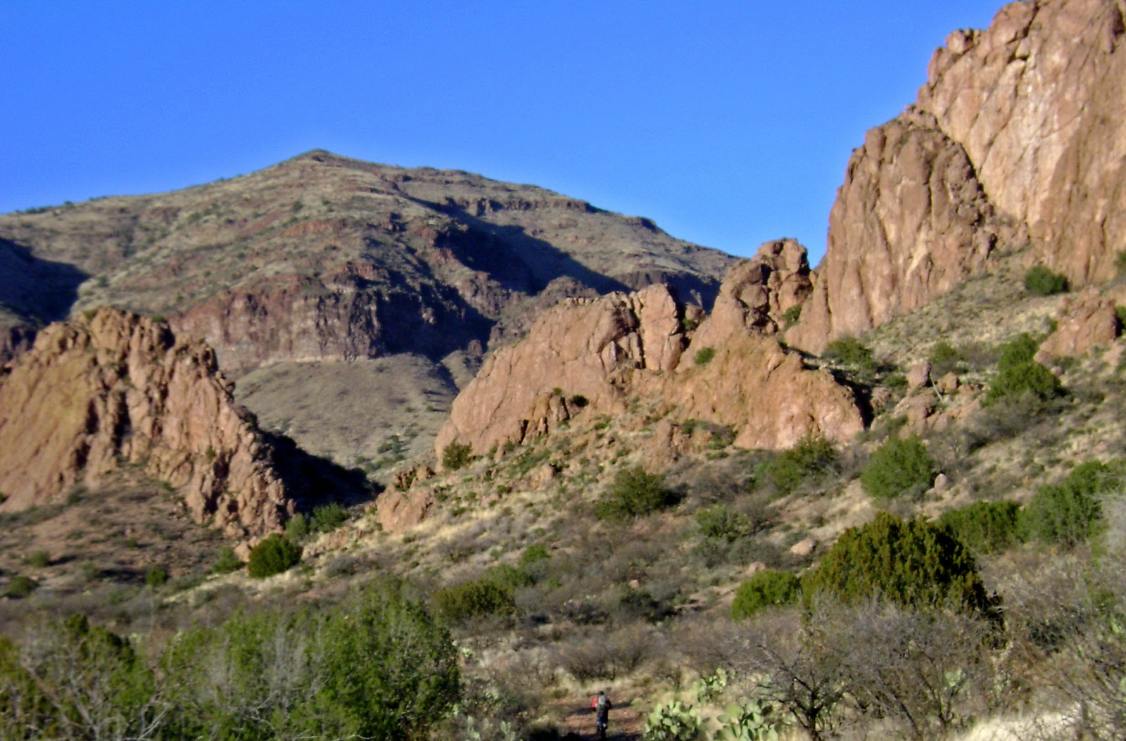
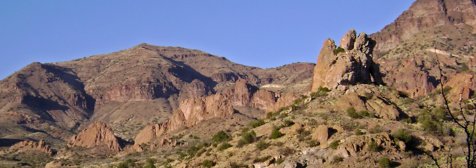
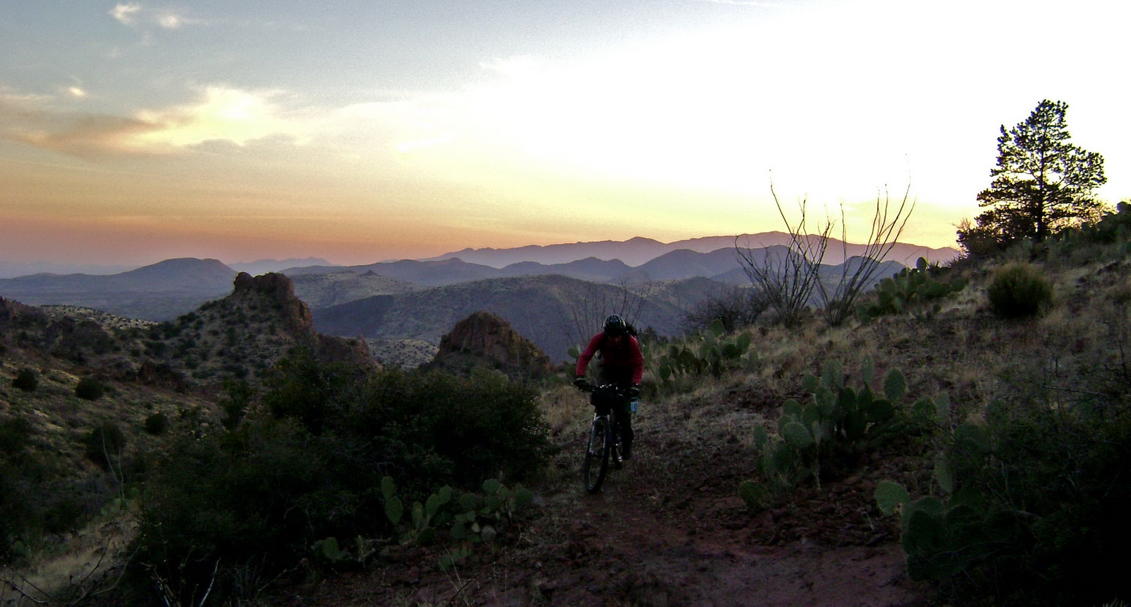
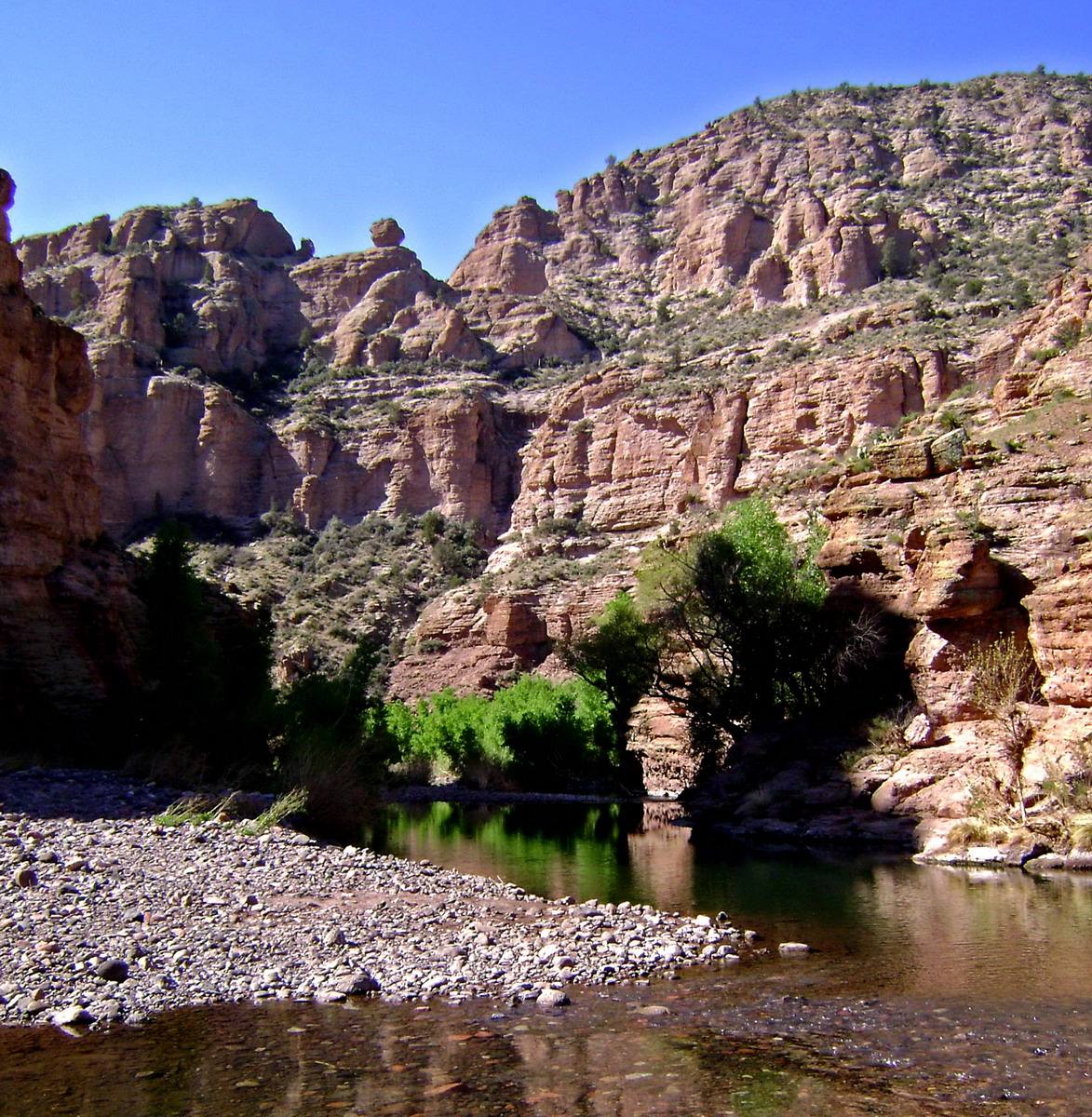

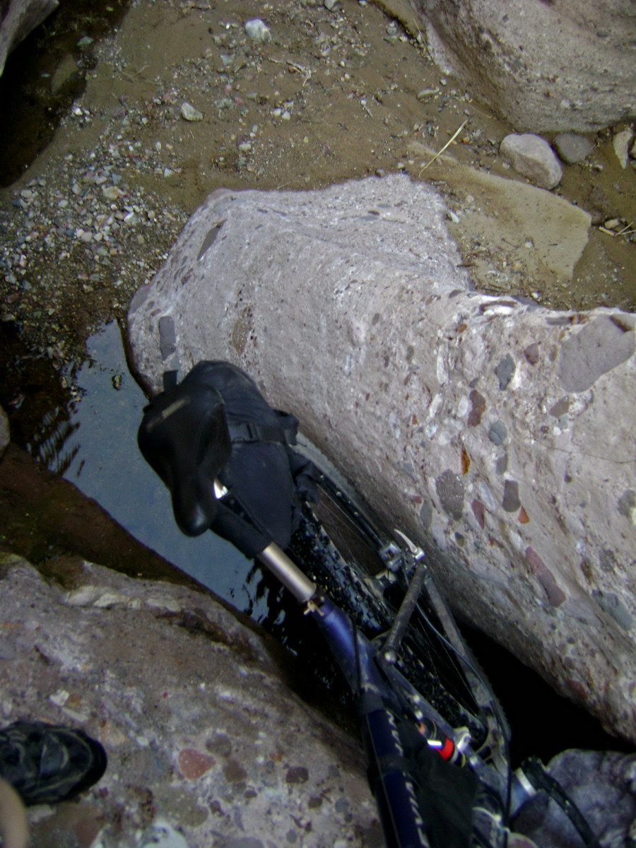
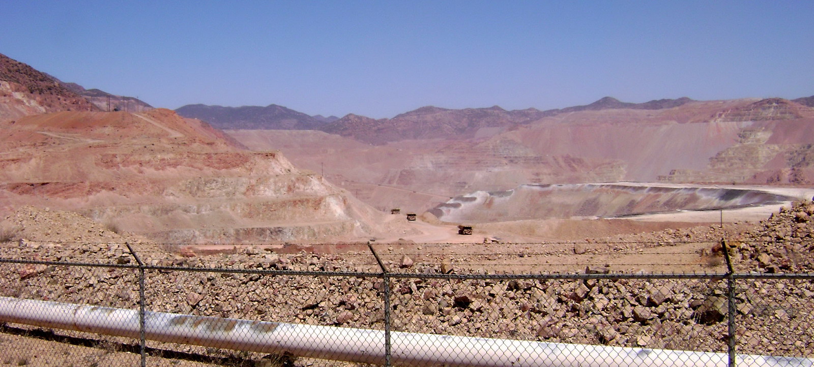
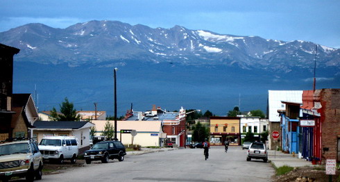
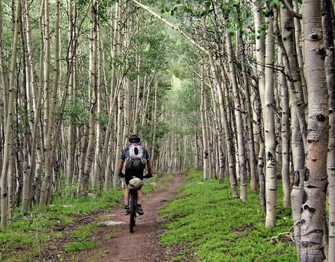
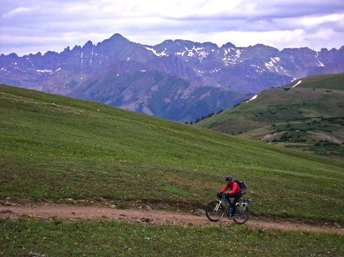
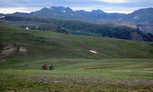
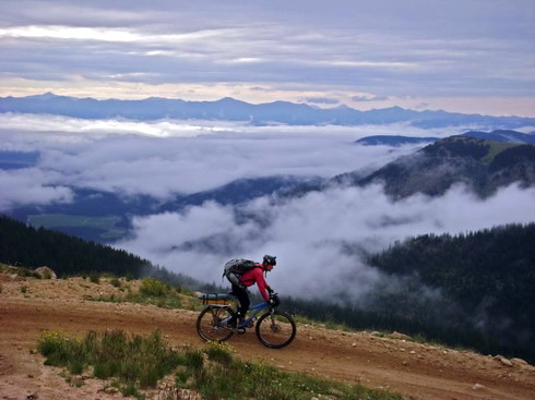
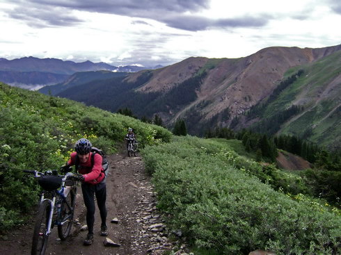
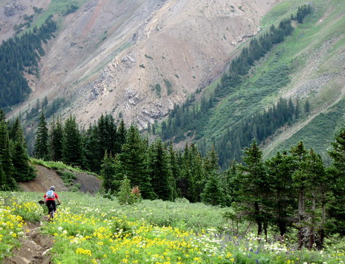
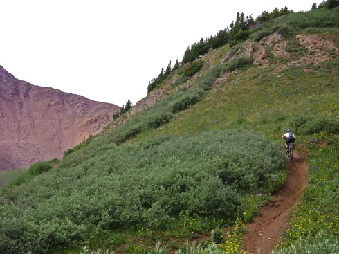
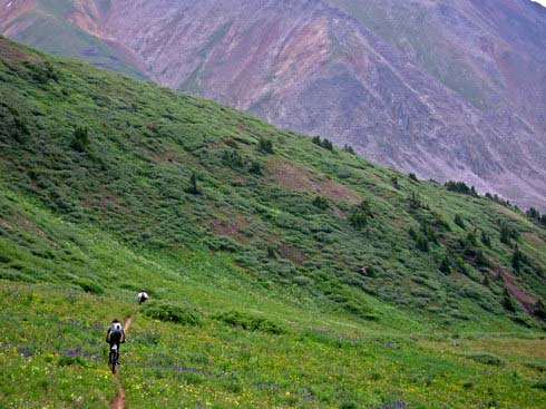

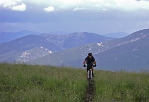
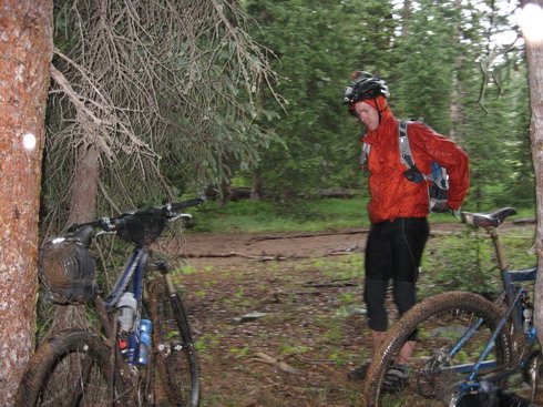
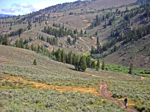
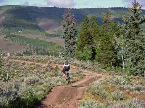
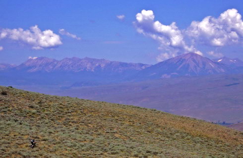
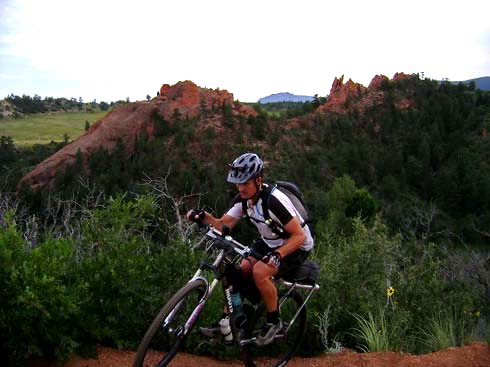
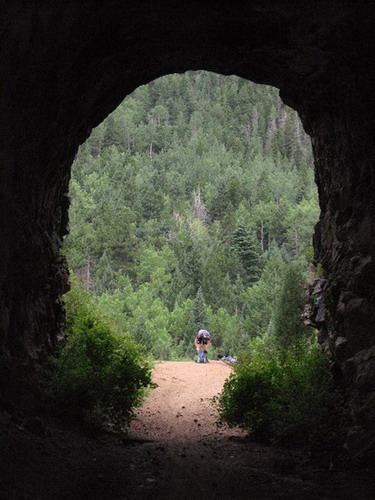
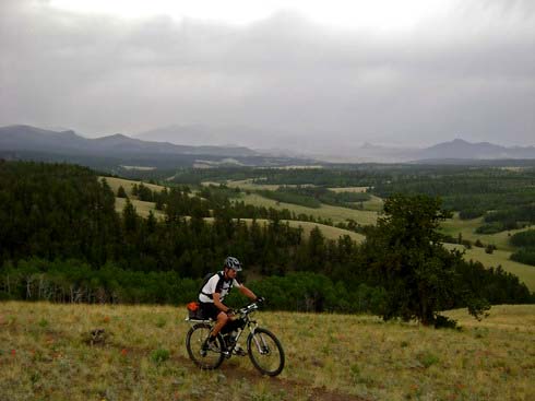
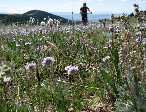
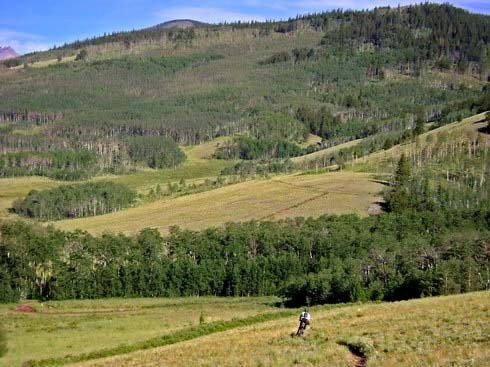
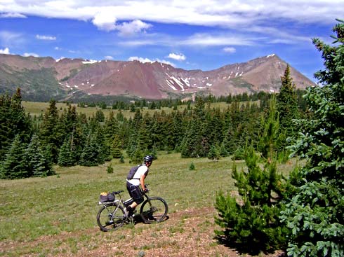
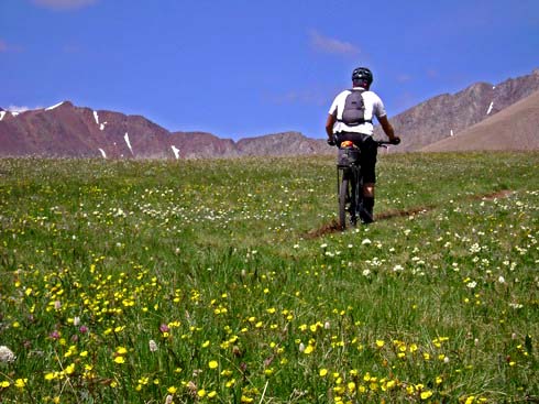


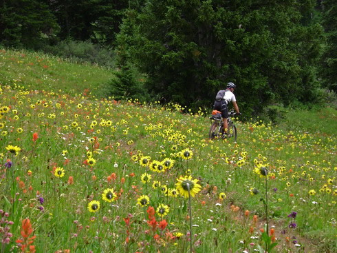
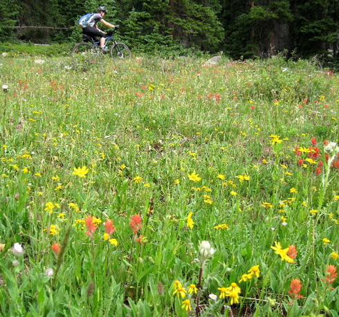
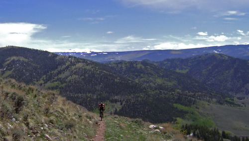
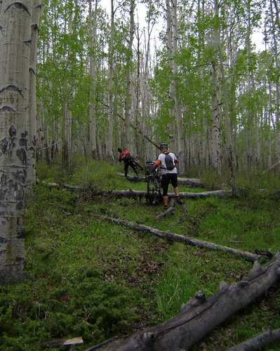
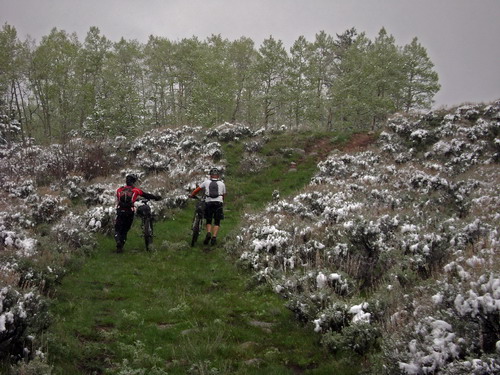
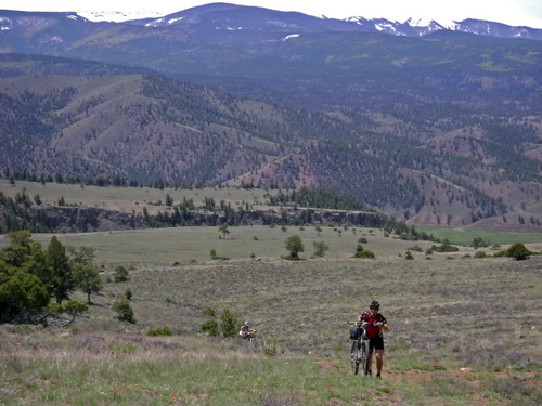
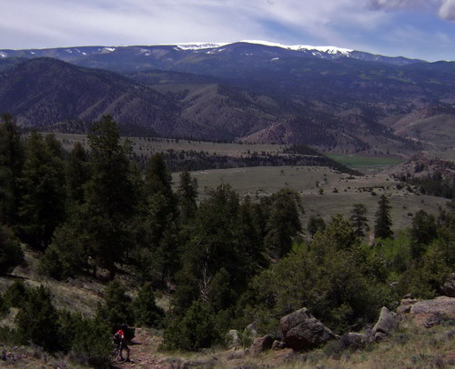
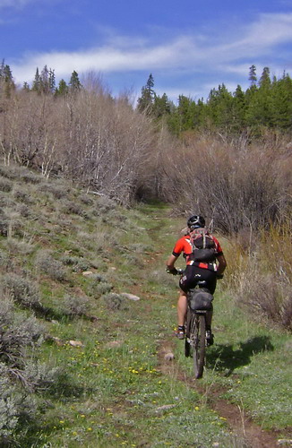
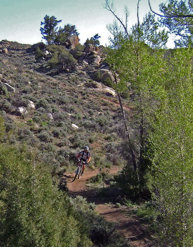
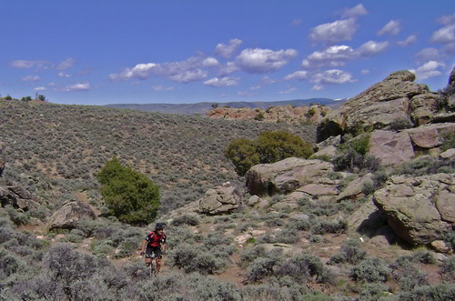
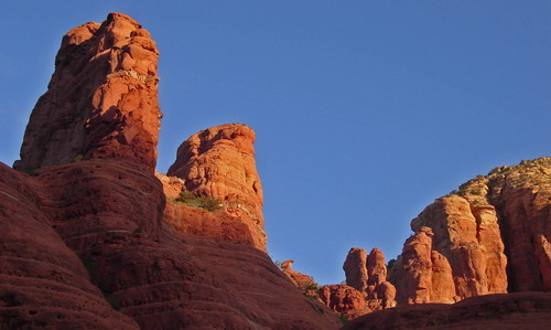
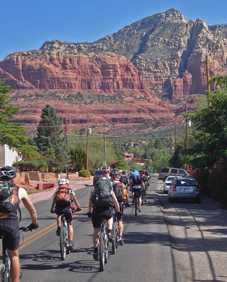
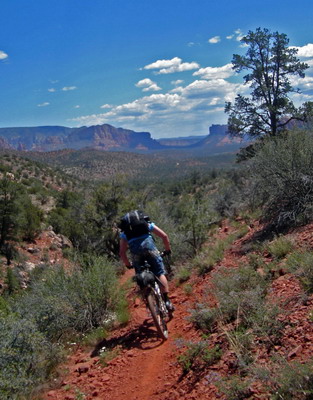
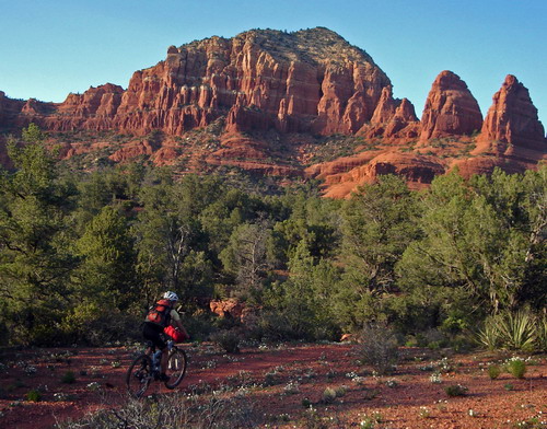
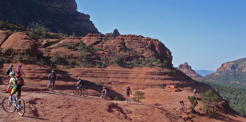
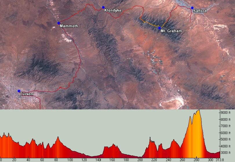
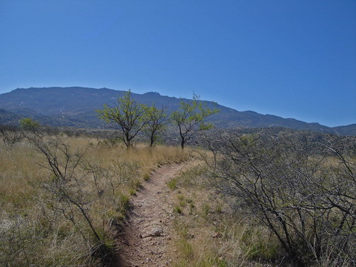
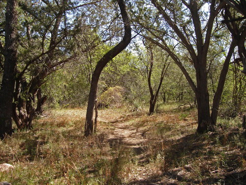
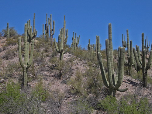
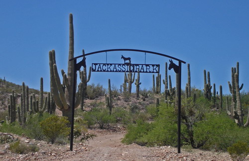
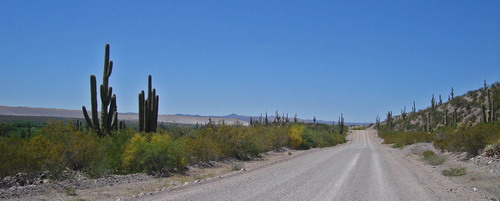

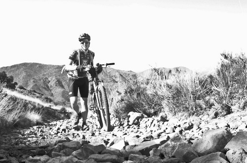
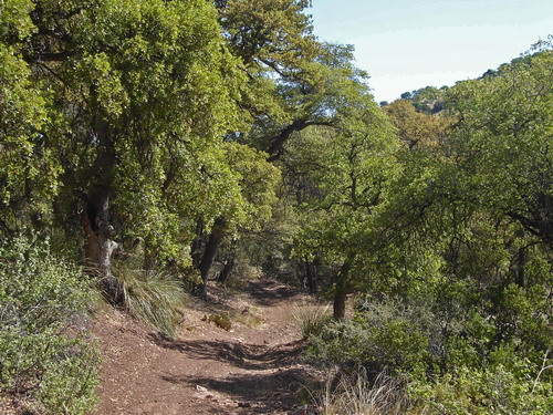
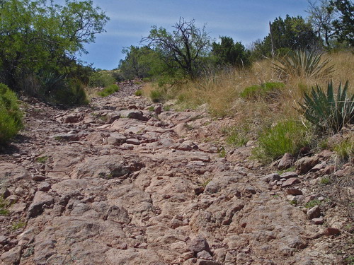
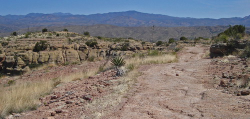
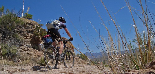
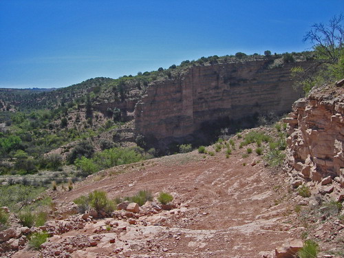
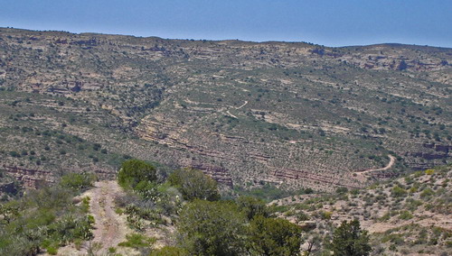
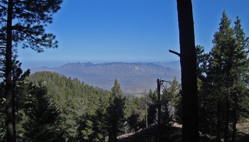
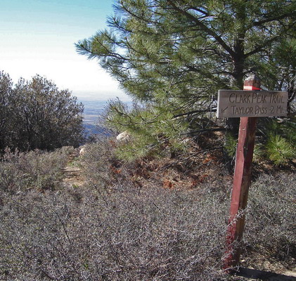
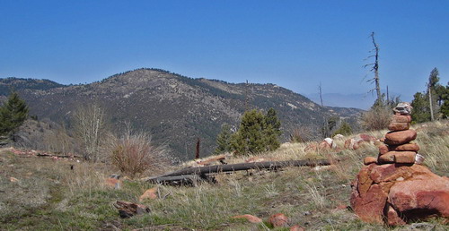
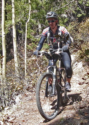
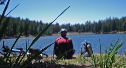
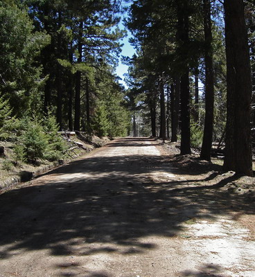

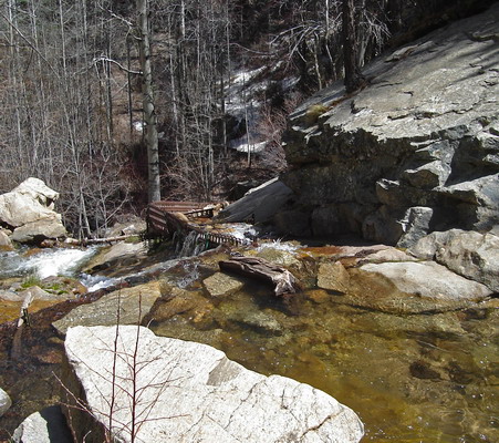
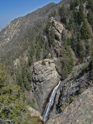
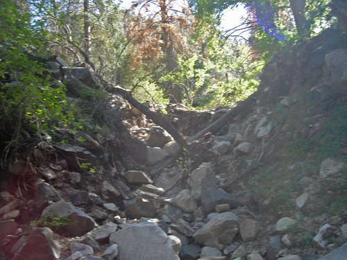
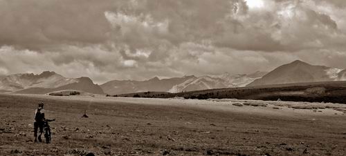
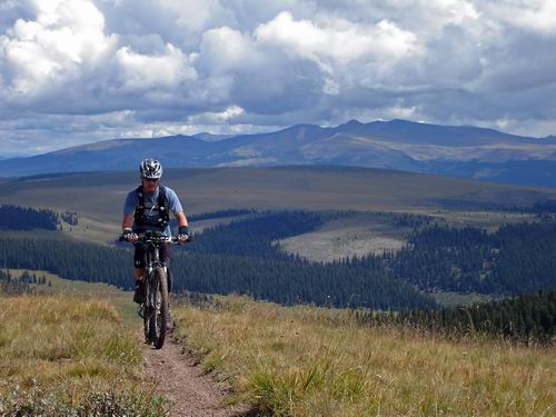
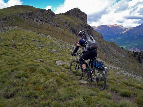
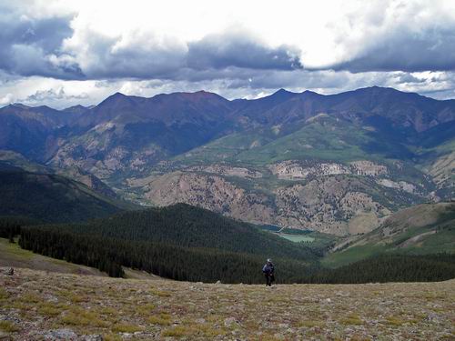
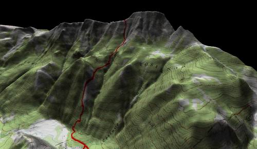
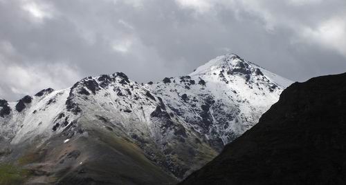
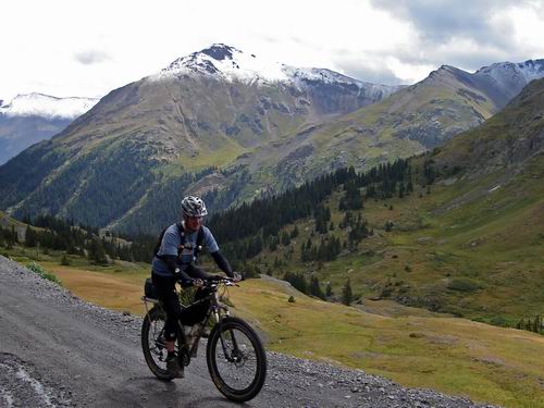

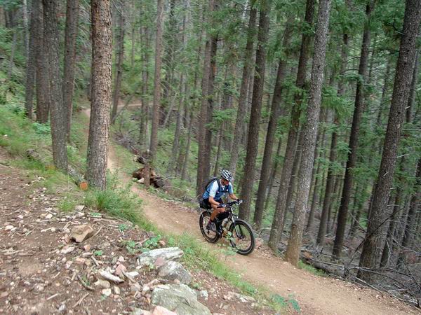
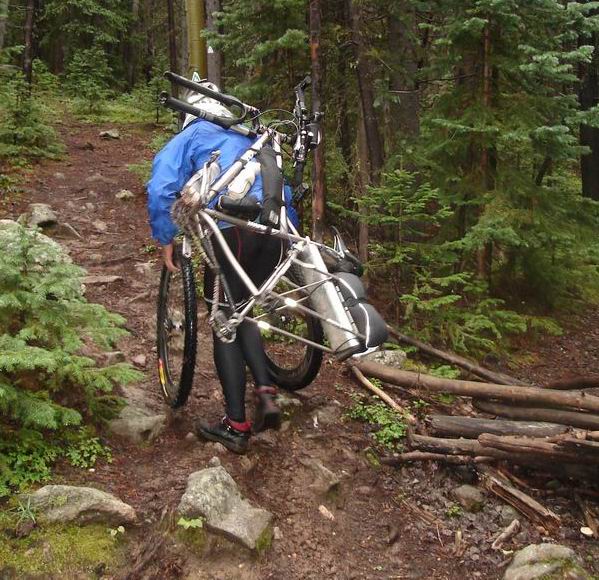
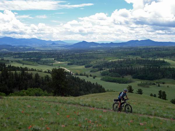
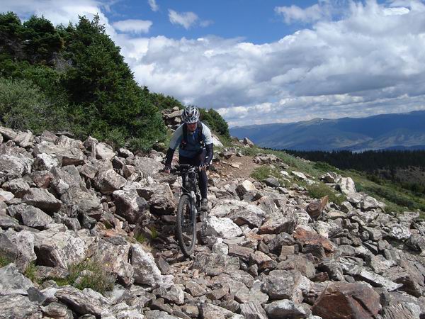
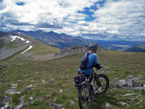
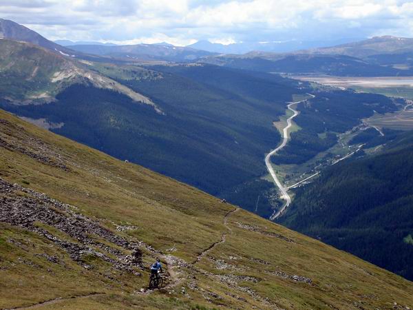
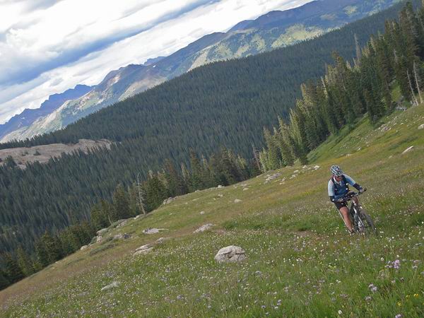
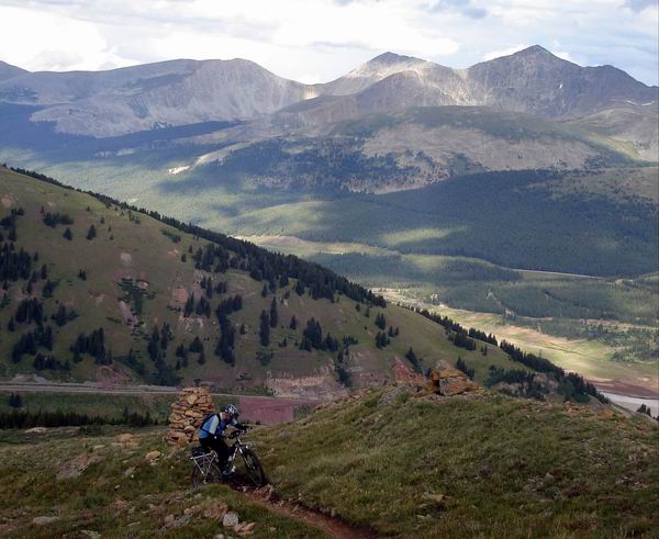
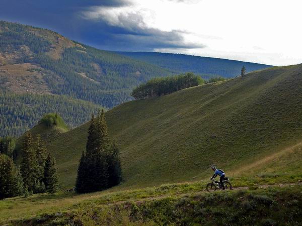
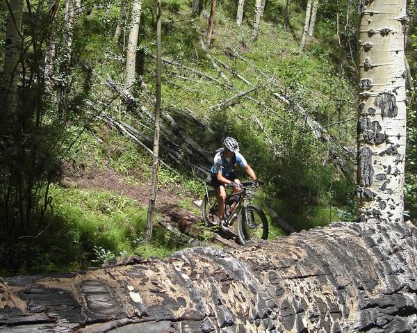
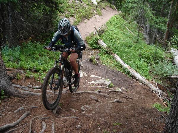
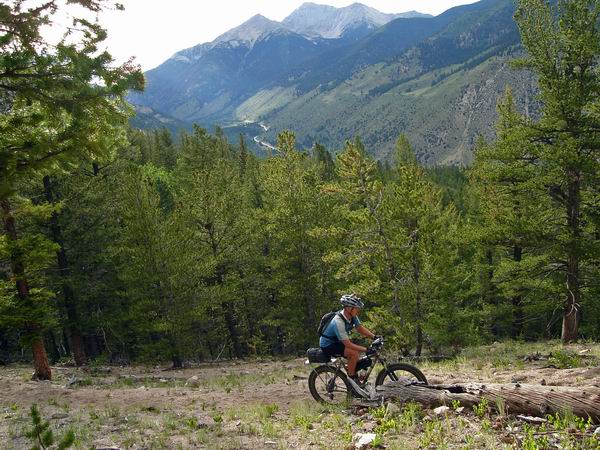
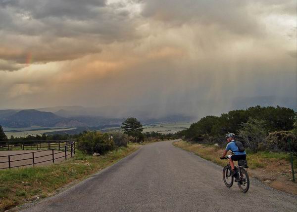
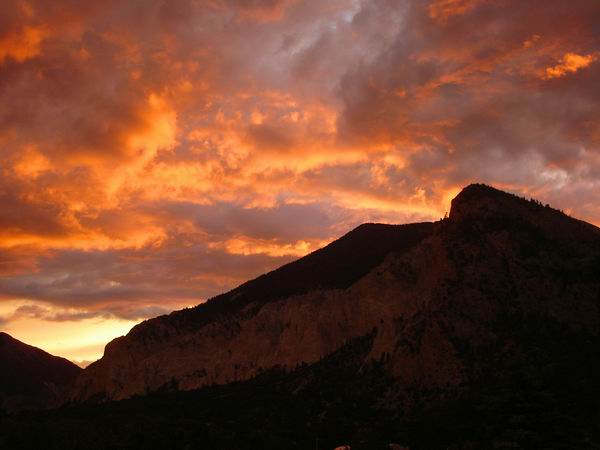
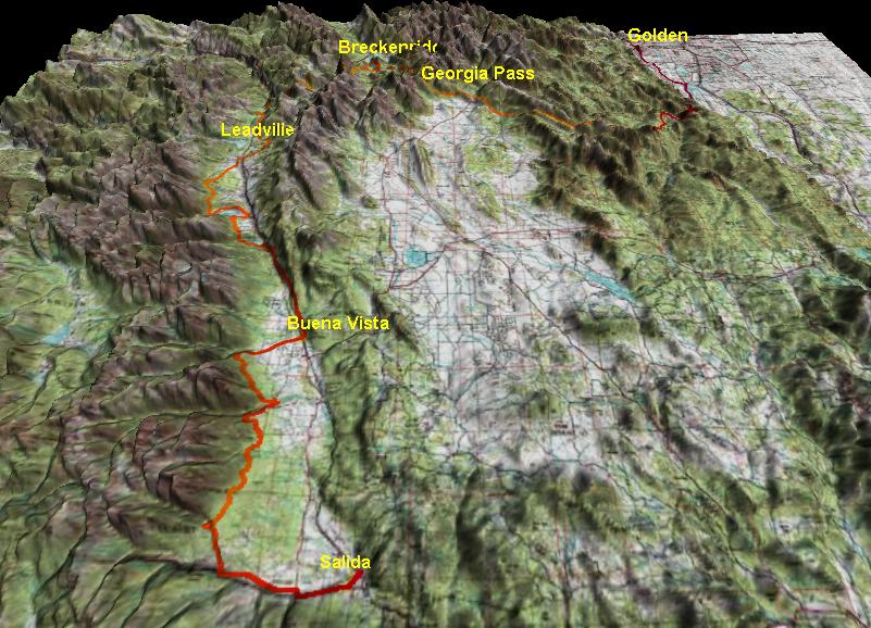

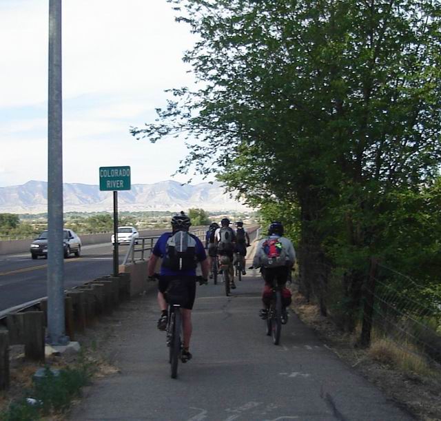
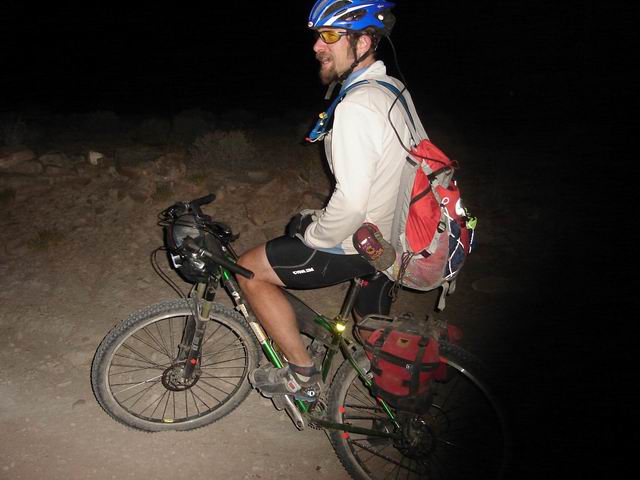
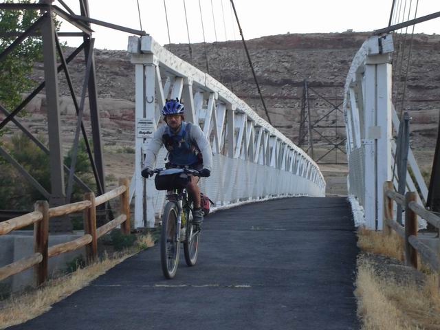
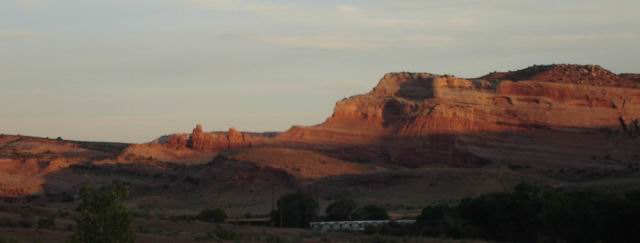
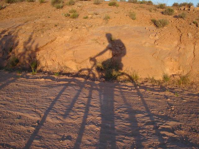
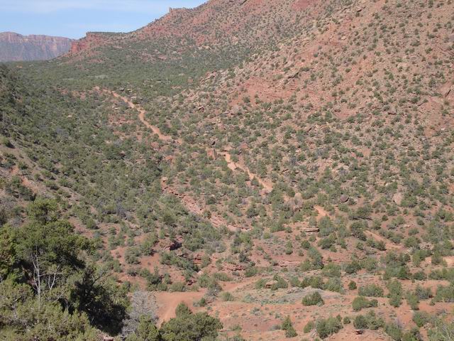


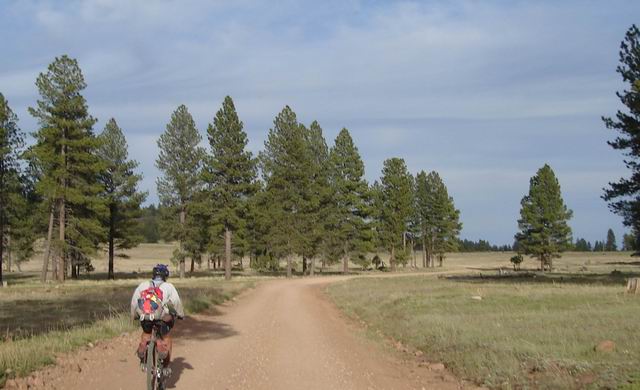
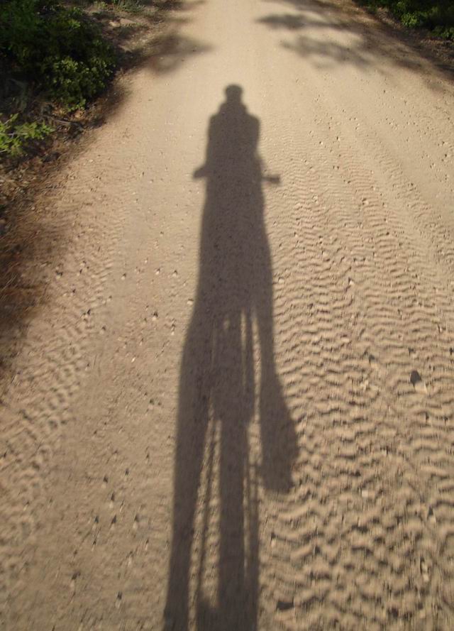
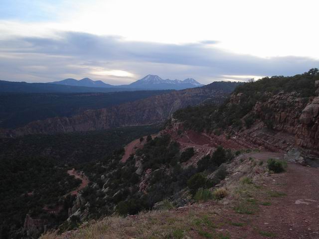

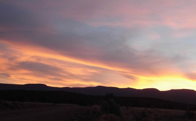
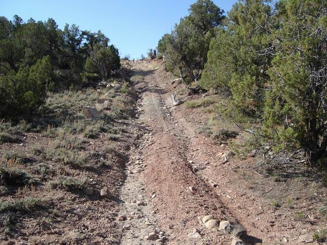
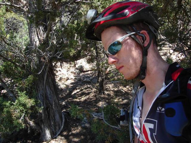

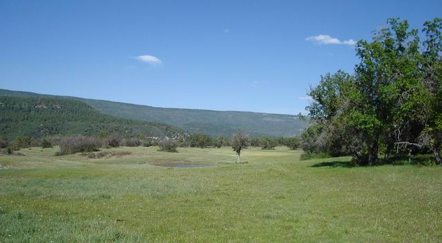
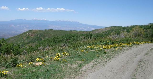
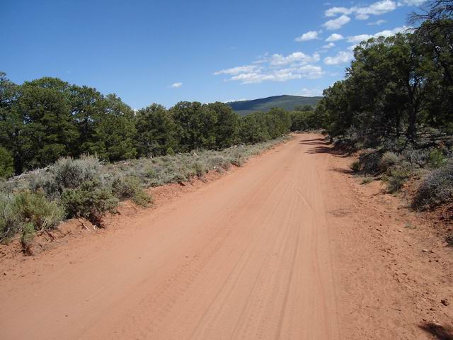
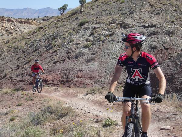
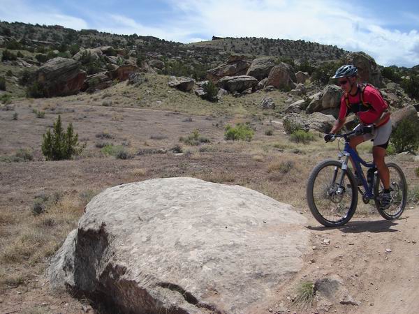
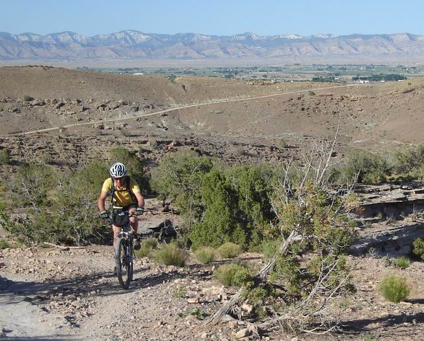
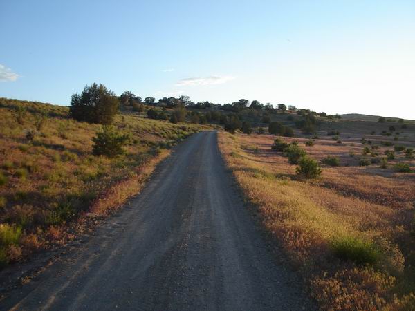
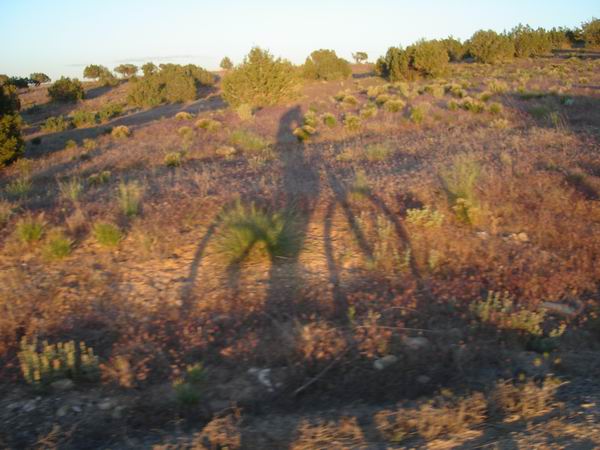
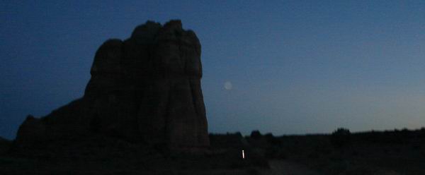
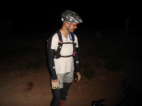
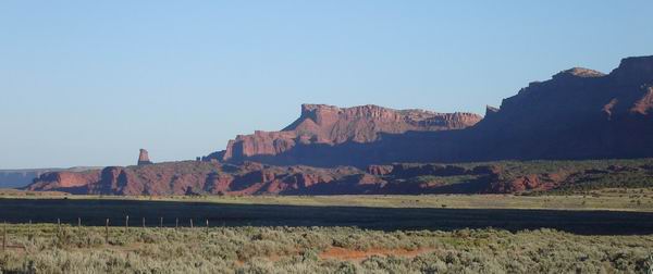
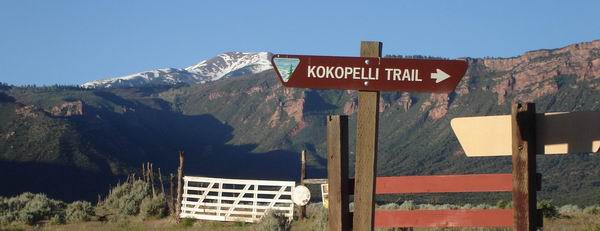
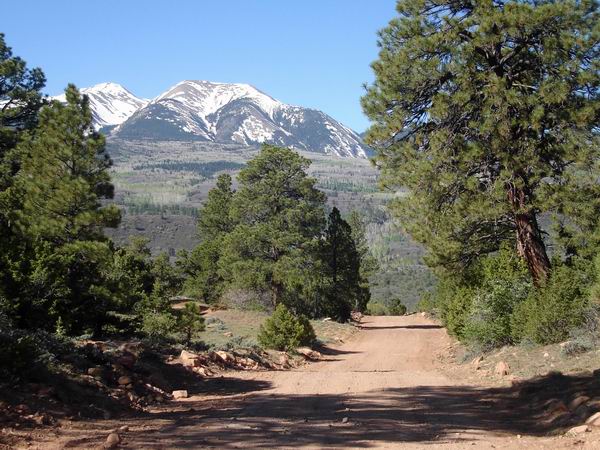
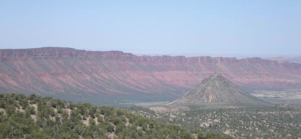

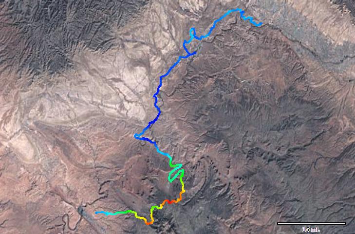
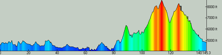
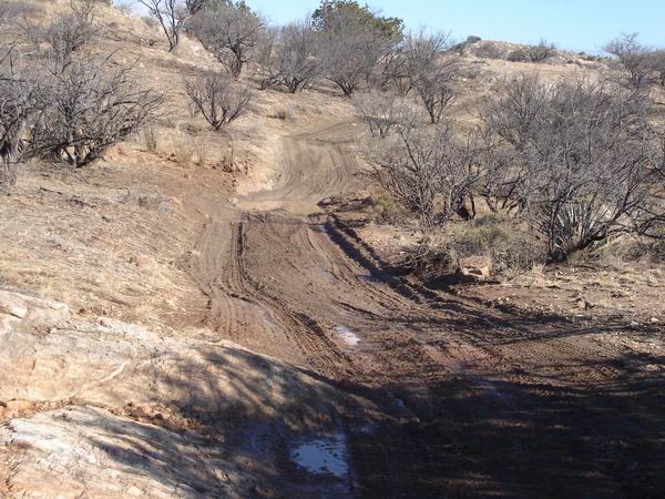
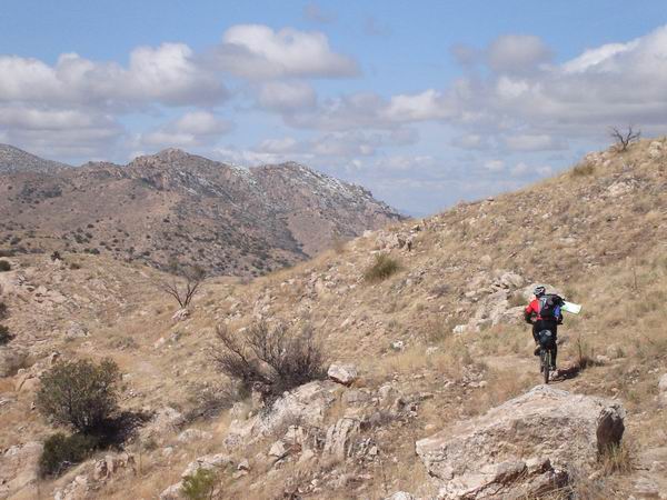
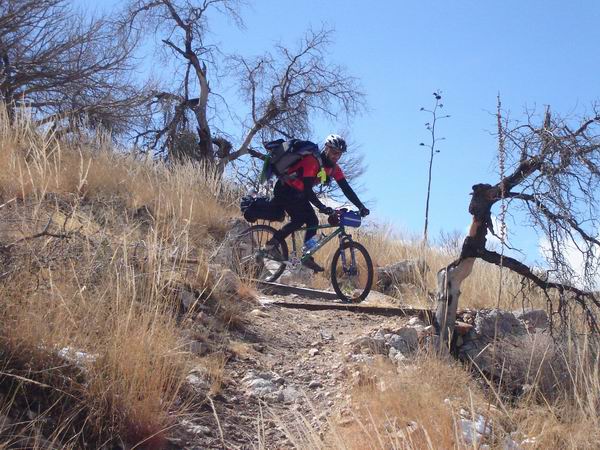

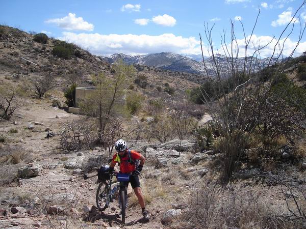
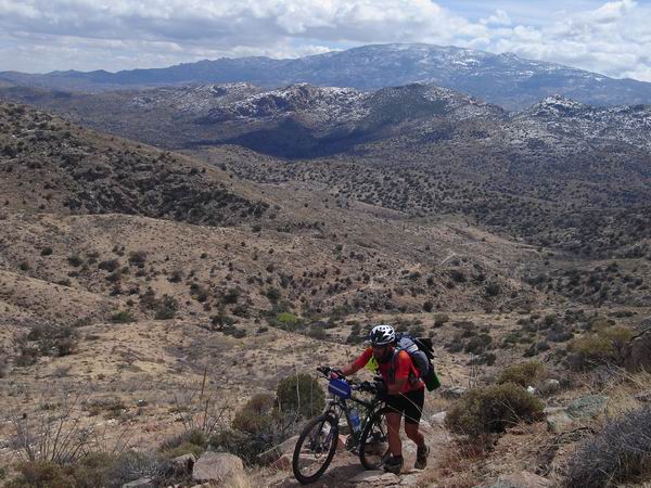
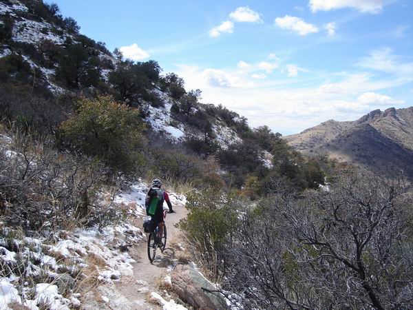
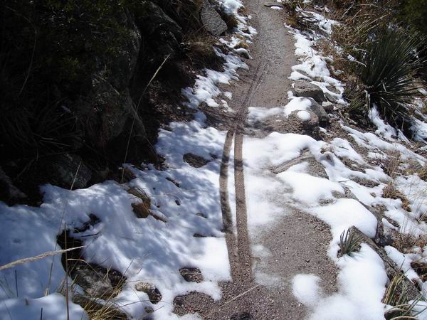
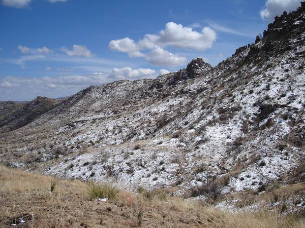

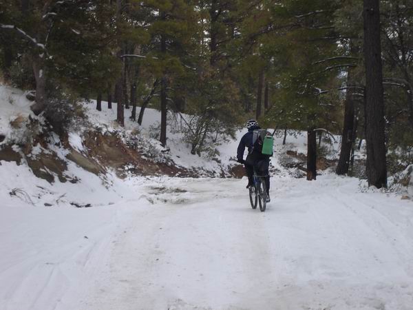
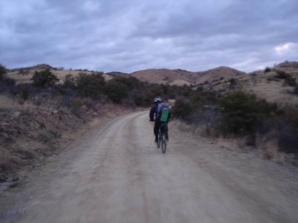
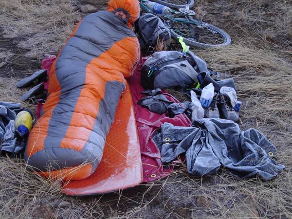
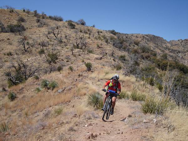
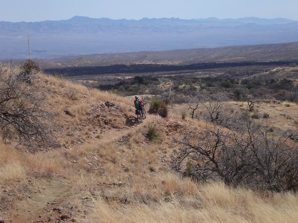
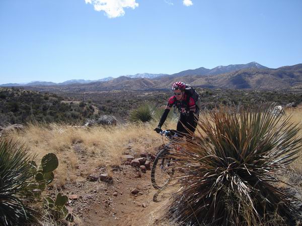
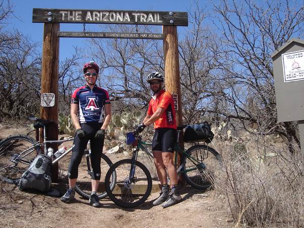

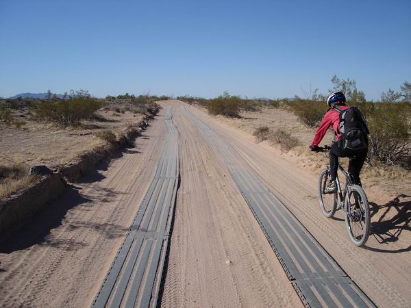
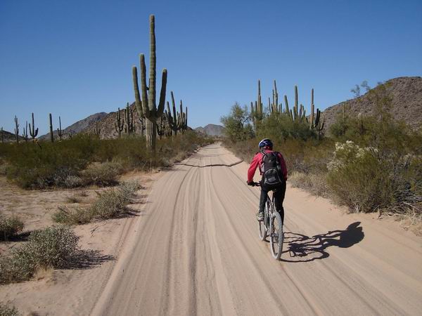
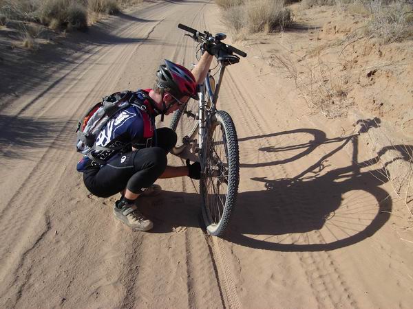
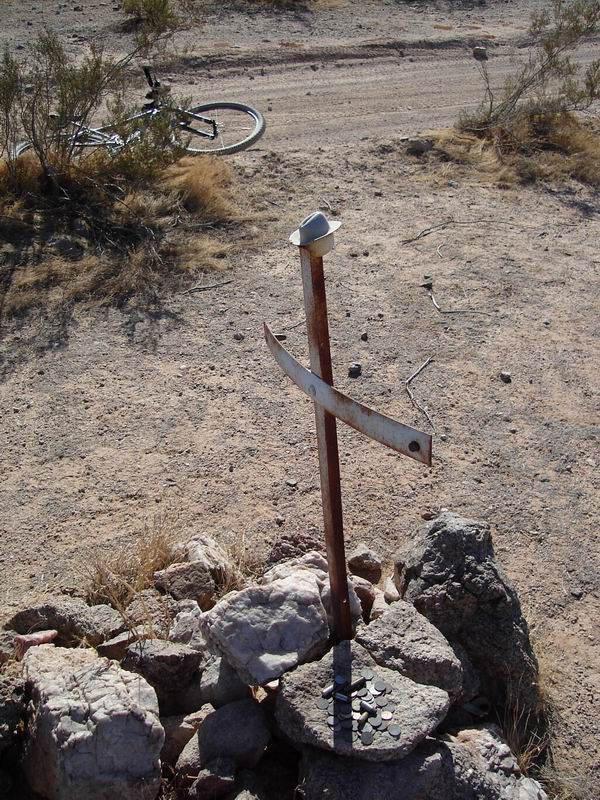
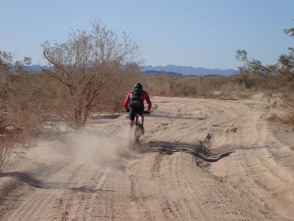
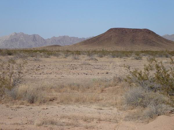
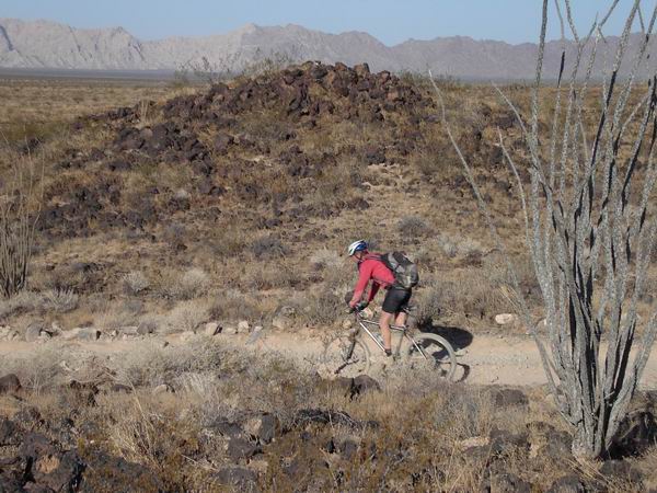
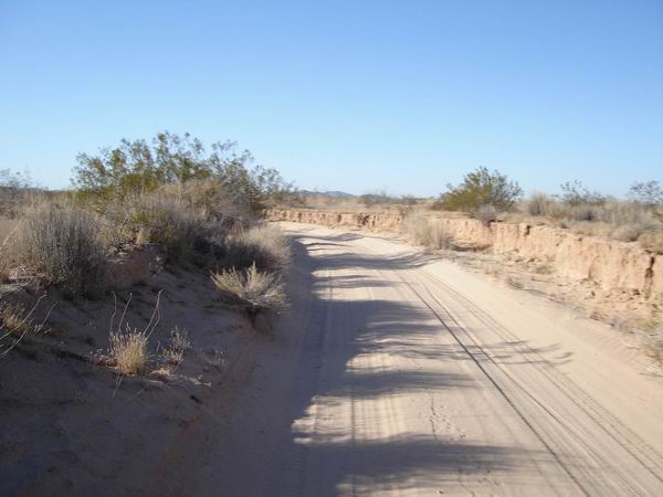
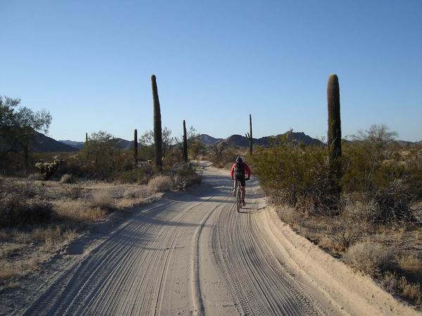
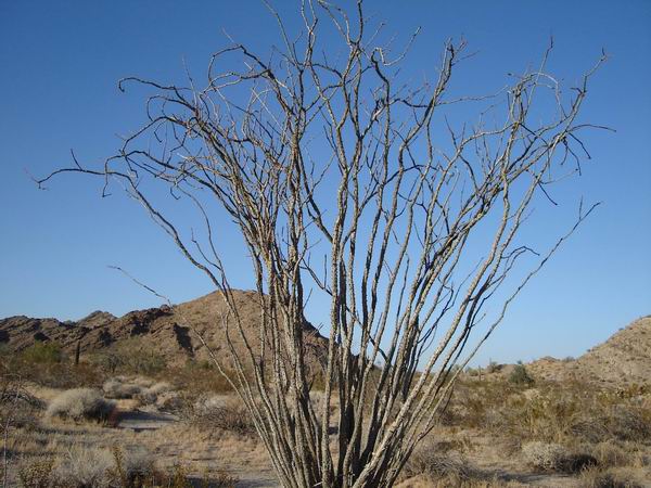
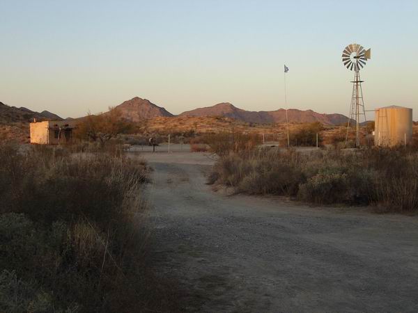
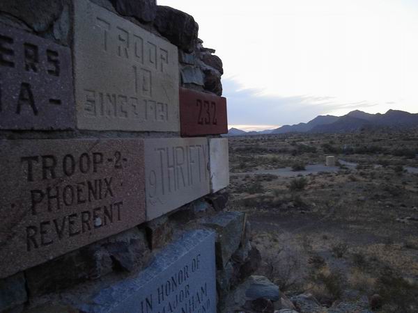
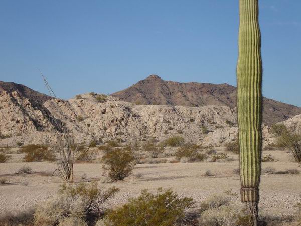
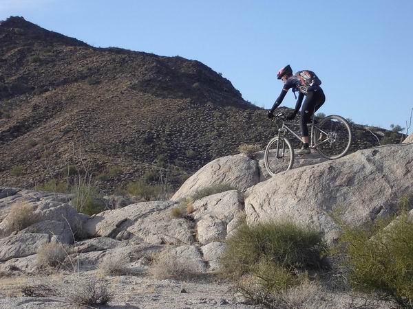
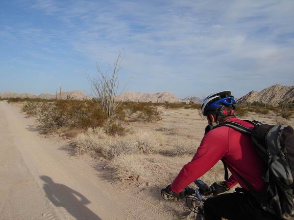
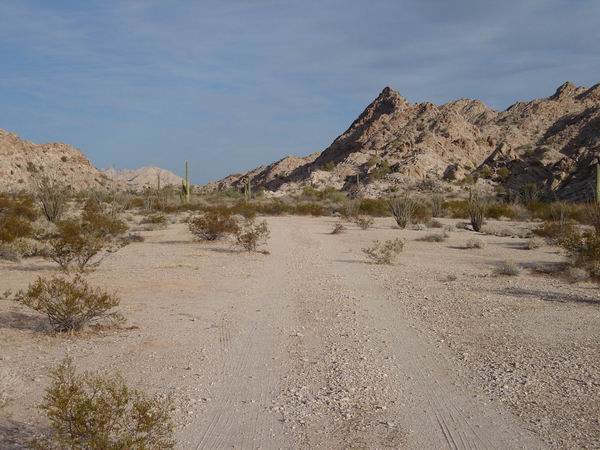
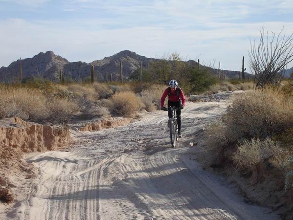
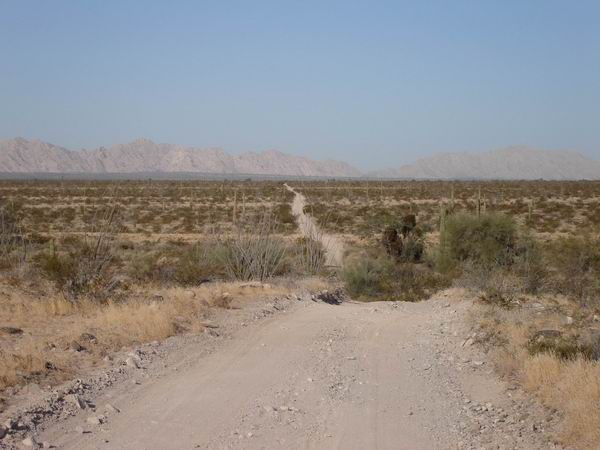
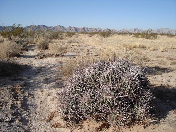
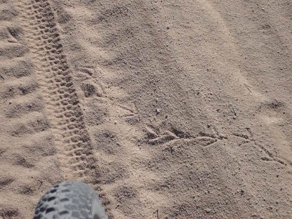

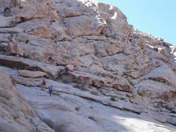
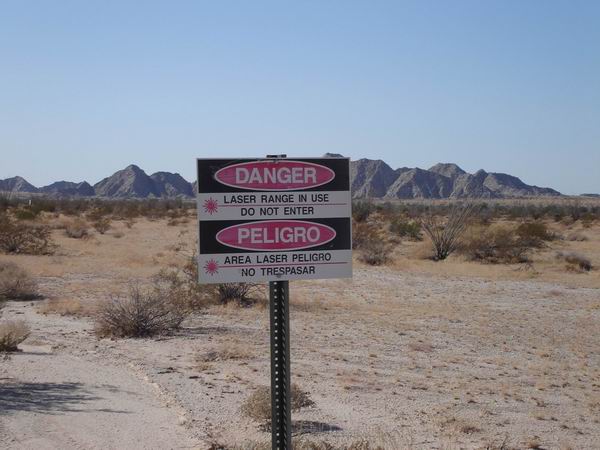
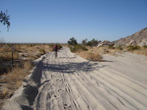
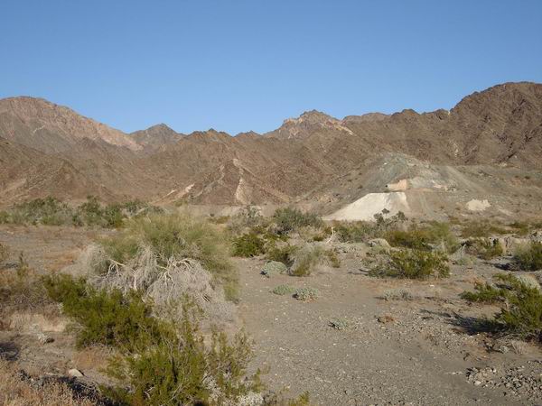
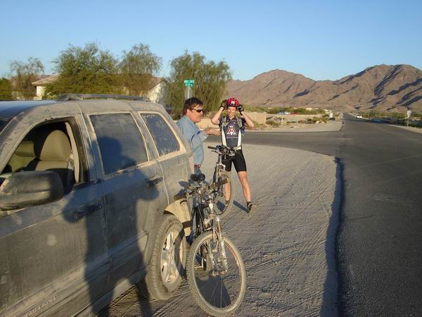
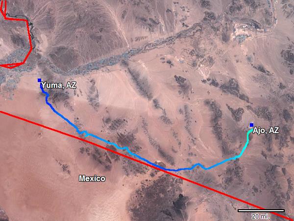
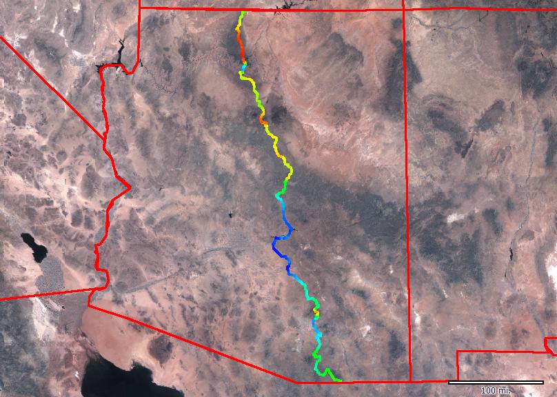
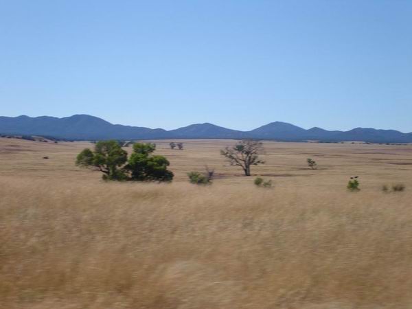
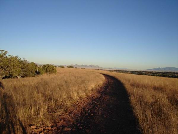
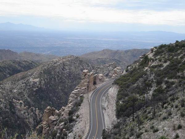
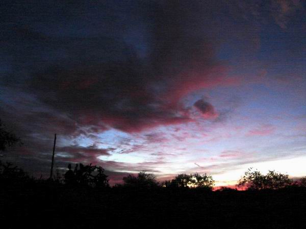
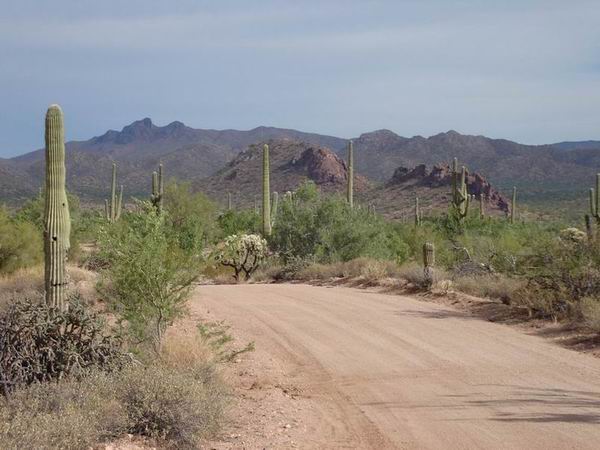
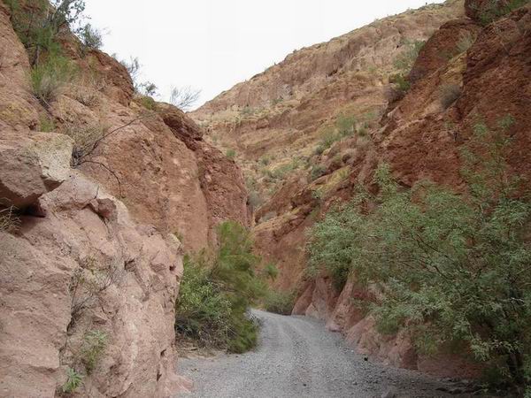
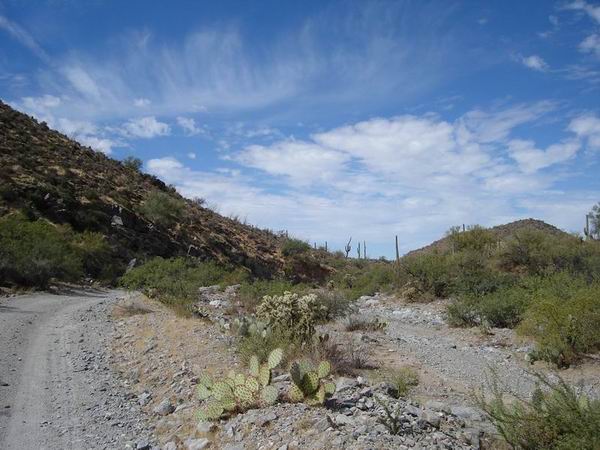
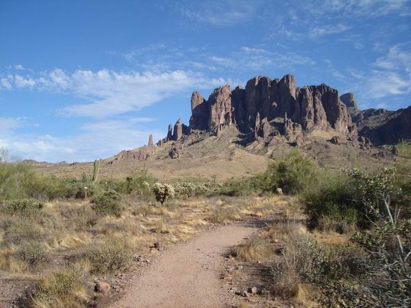
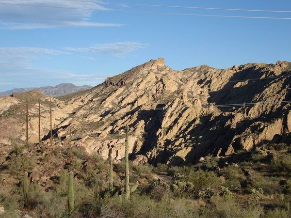
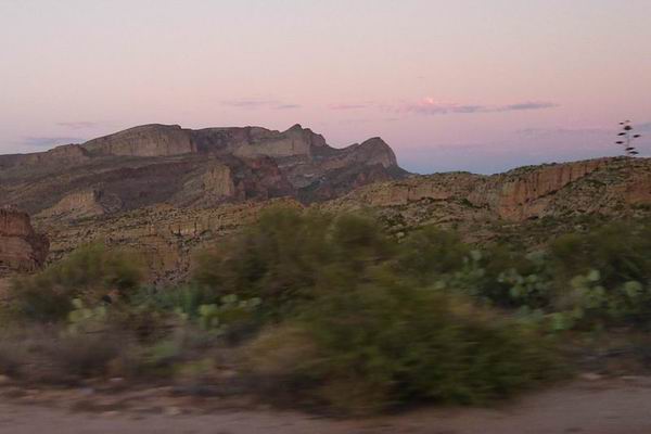
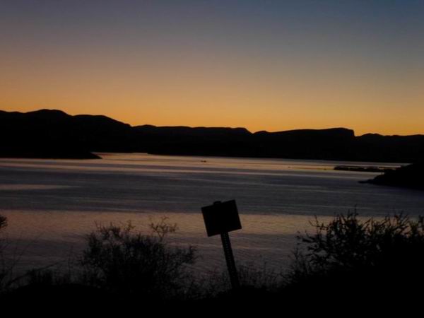
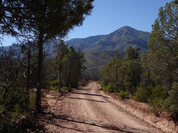
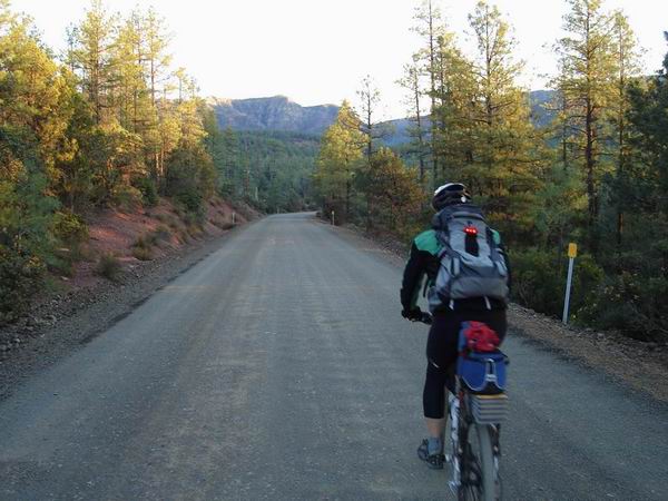
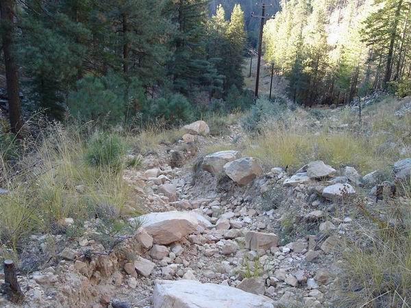
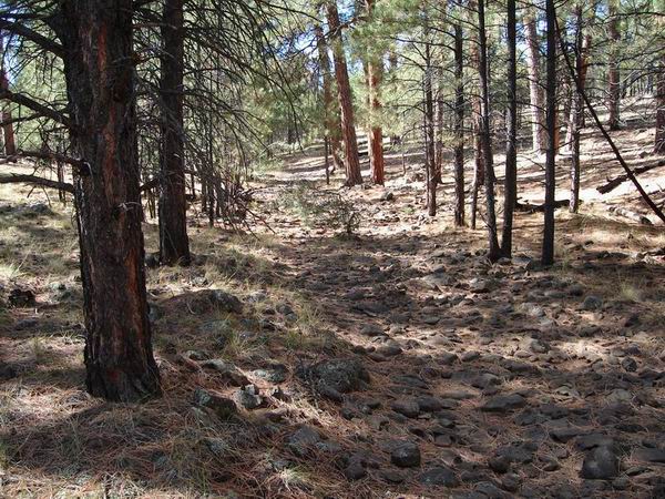
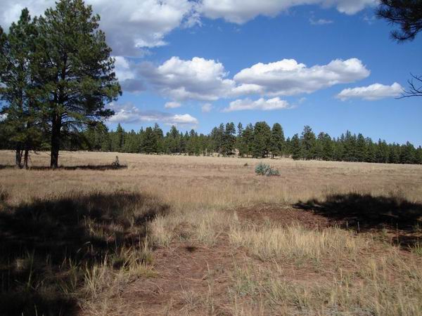
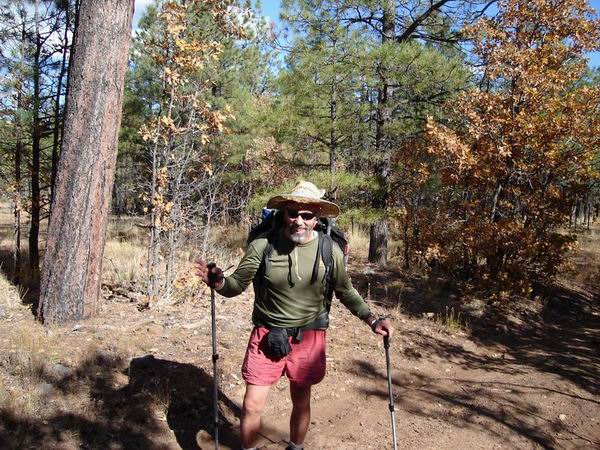
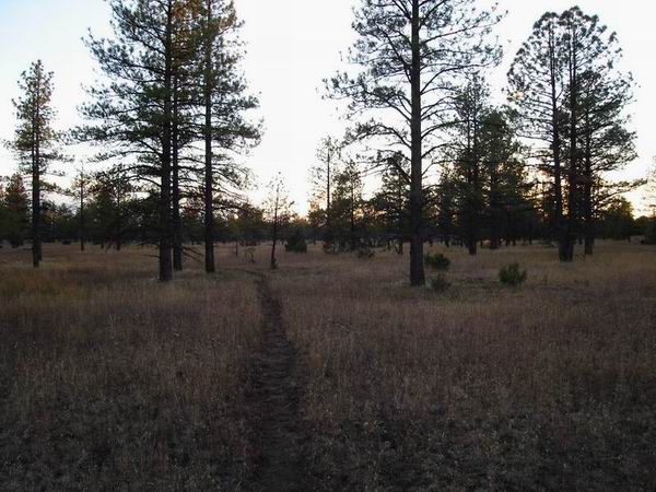
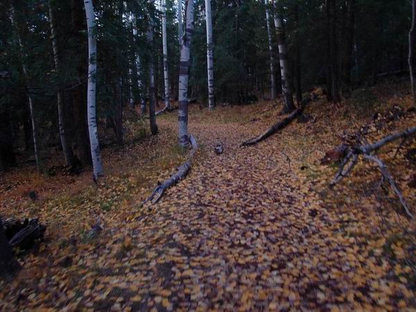
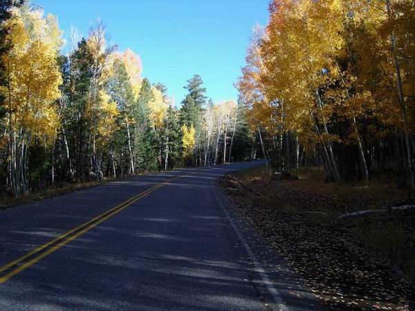
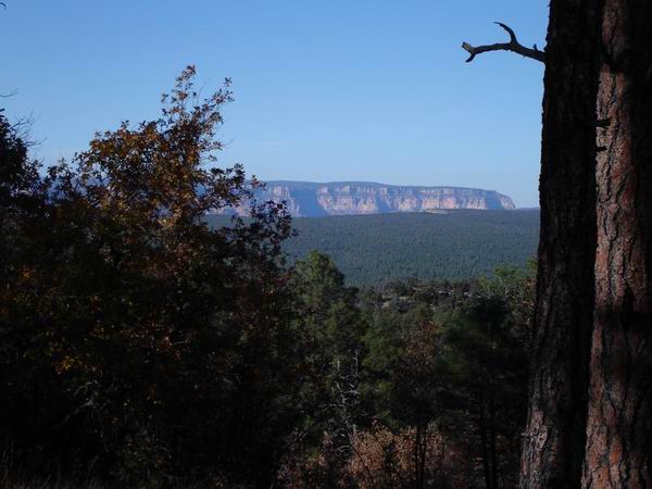
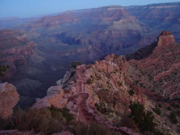
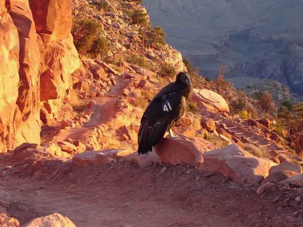
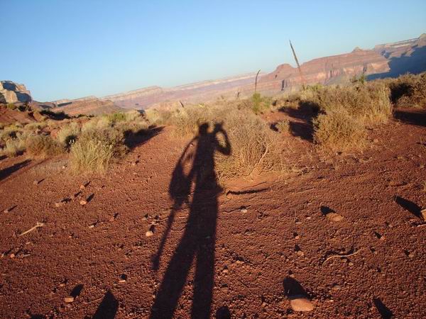
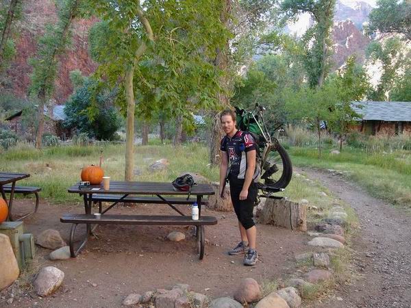
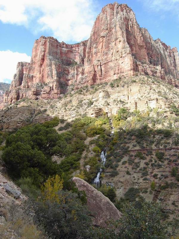
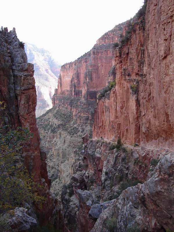
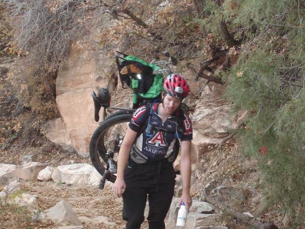
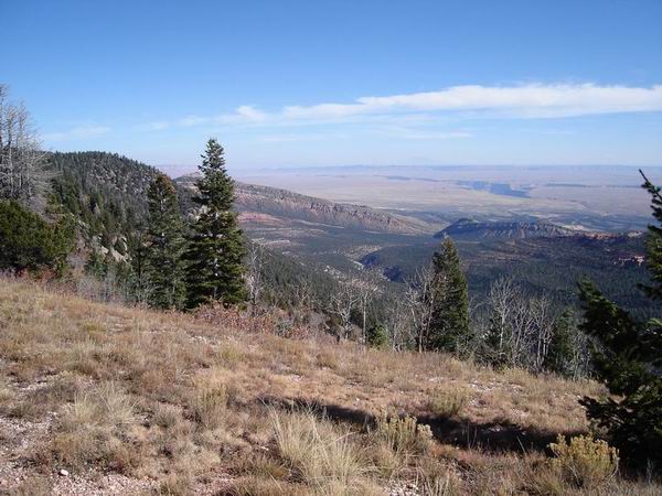
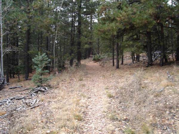
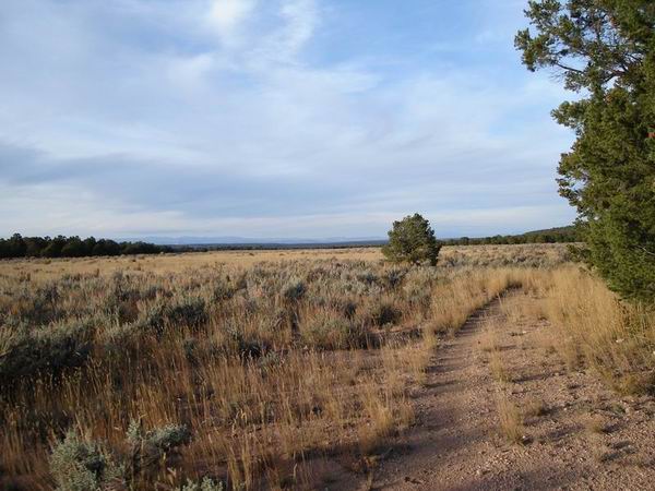
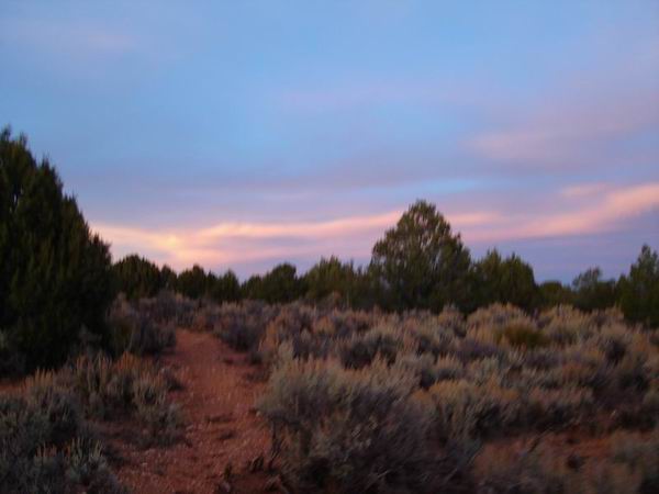
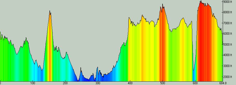
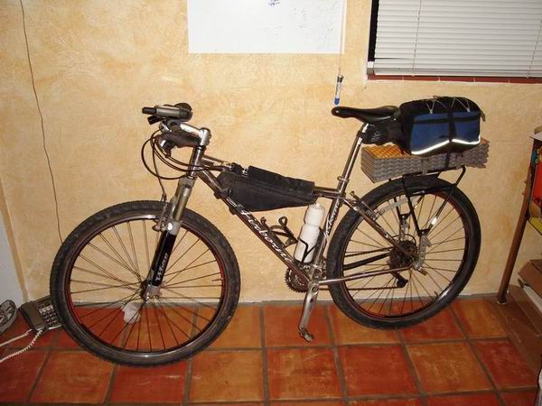
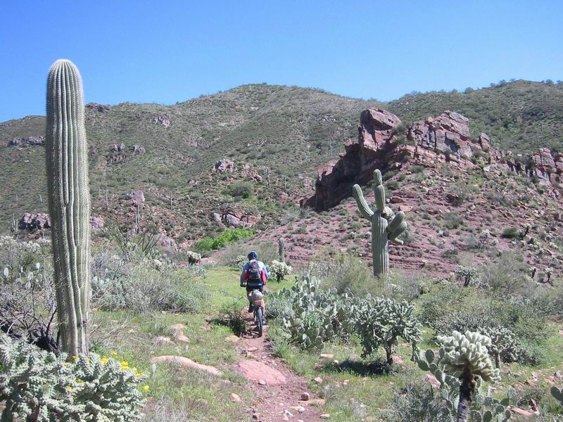
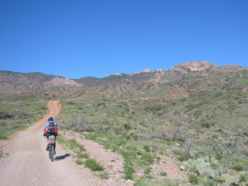

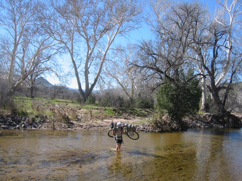
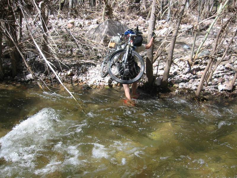
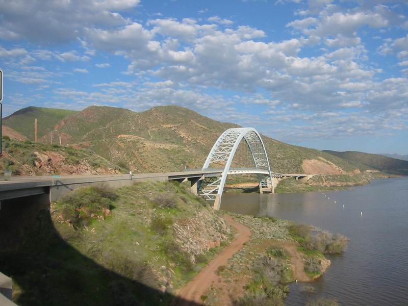
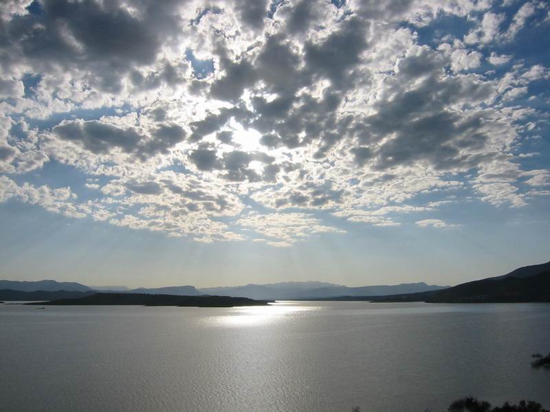

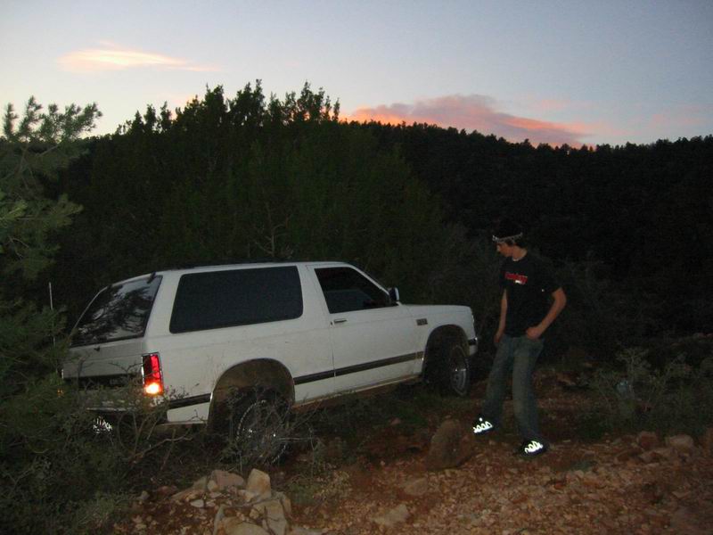
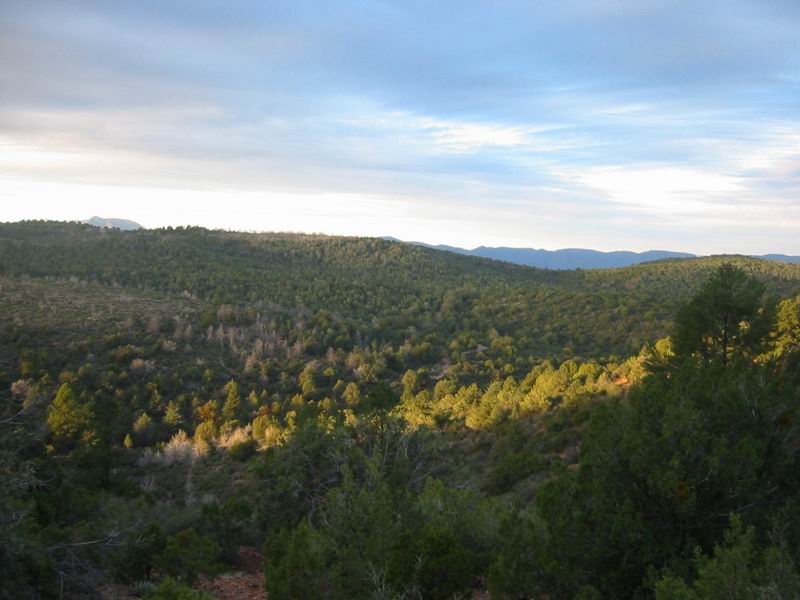
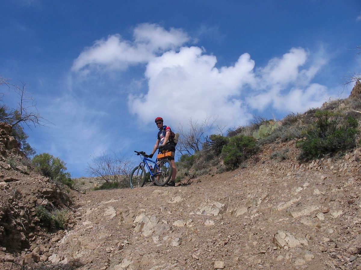

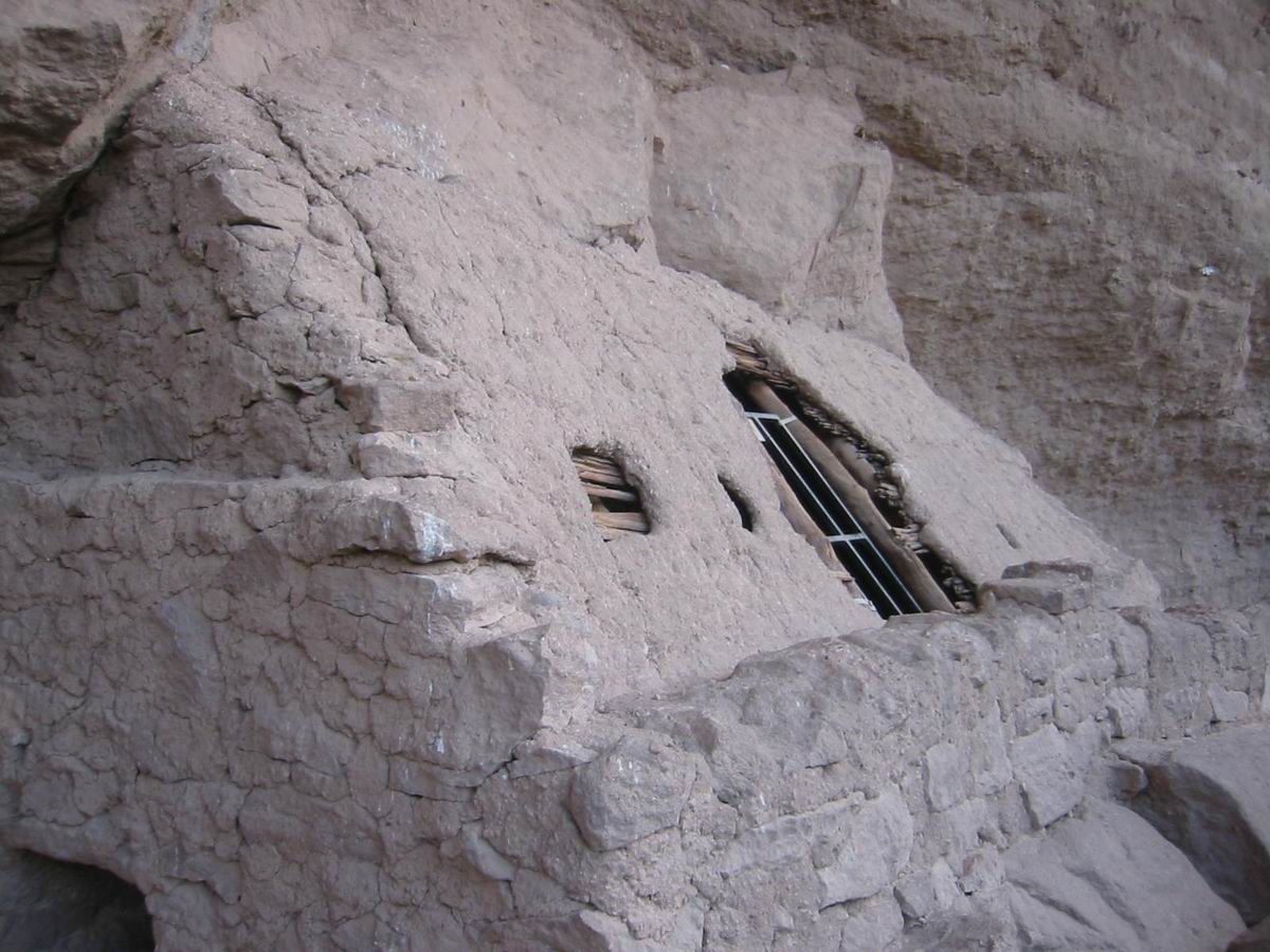
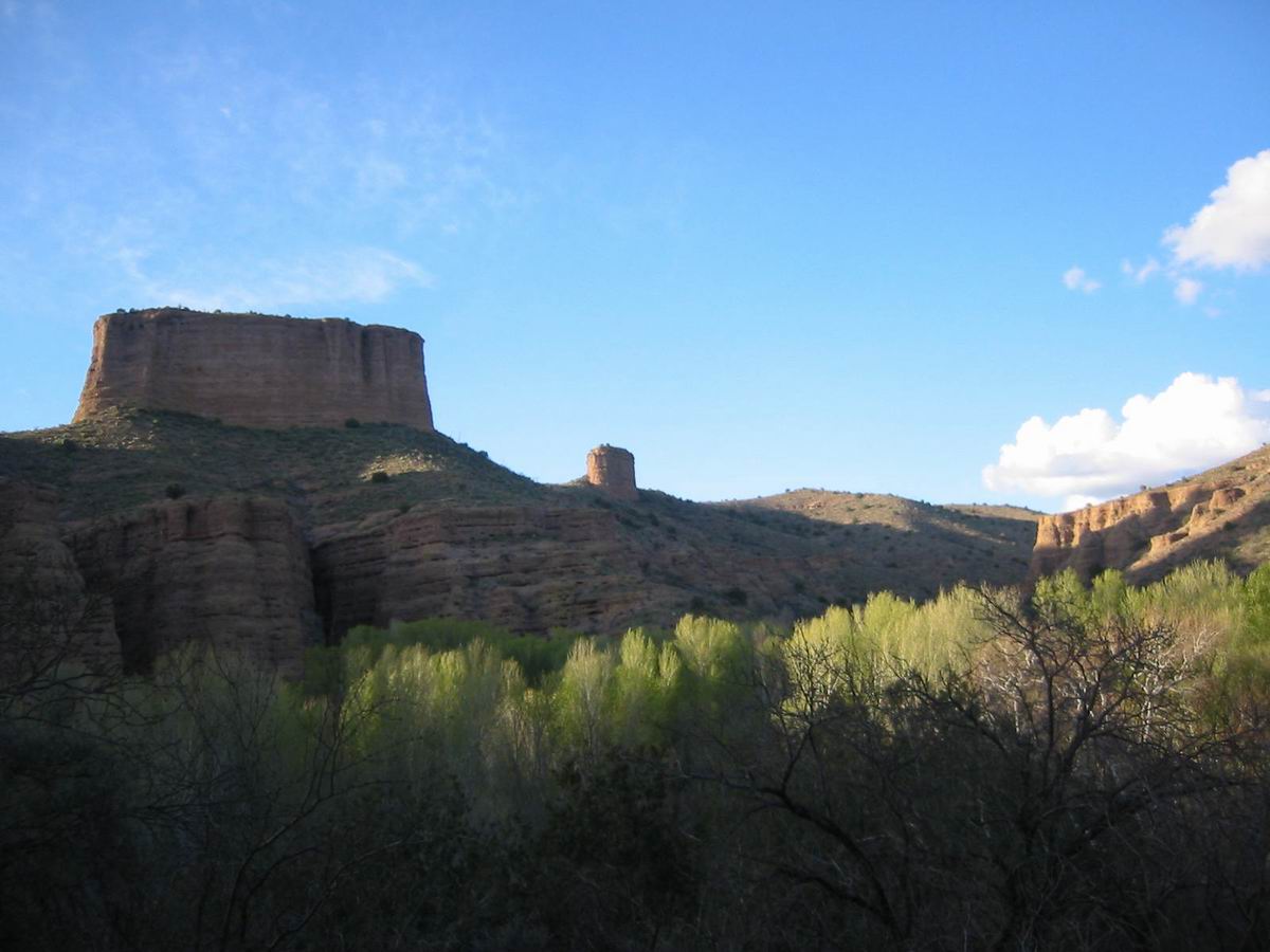
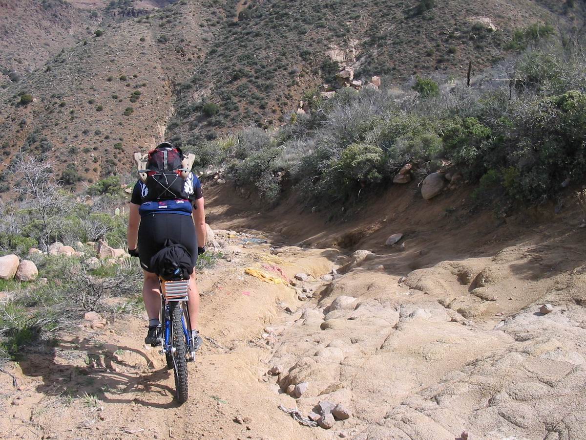
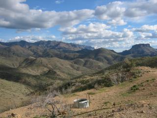