Eastern USA, Trip Reports » USA-PA-Laurel Highland Ridge Ride
Laurel Highlands Ridge Ride (LHRR)
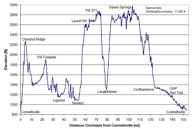
This loop is suitable for a quick, weekend getaway. Over the approximately 150 miles, there are a couple of big climbs, one up to Chestnut Ridge and two up to Laurel Ridge. The remainder of the route is rolling to flat western PA terrain. Along the route are many alternatives for overnighting, restaurants and food supplies. One should be aware that stores and water sources are limited along Laurel Ridge.
Info
A Google Map is here.
A Google Drive Folder, that includes the files listed below is here.
LHRR_01_to_09.pdf            Route Description, overview maps < Start here!
LHRR_10_to_17.pdf            Map sheets 10-17
LHRR_18_to_25.pdf            Map sheets 18-25
LHRR_26_to_33.pdf            Map sheets 26-33
LHRR_34_to_40.pdf            Map sheets 34-40

LHRR_REV_XX.gpx             GPX file for your GPS (Includes Tracks and Waypoints)
LHRR_Waypoints_REV_XX.csv   CSV file of waypoints

LHRR_README.txt             Listing of folder contents
Pictures
Note: These pictures are taken from along the route, but are from different trips, in different seasons. The fall pictures are from a particular warm November weekend in 2020 when the complete route was ridden. The spring and summer pictures are from other miscellaneous trips that intersected the route.
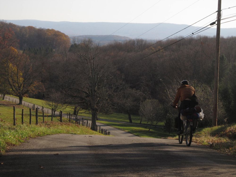
Rolling terrain, Chestnut Ridge in the background
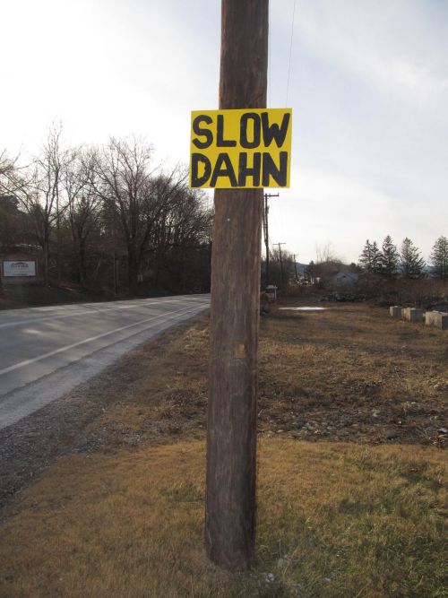
Yins from dahn tahn? <Pittsburghese>
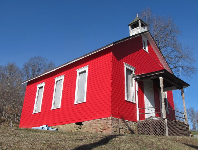
Schools out for COVID
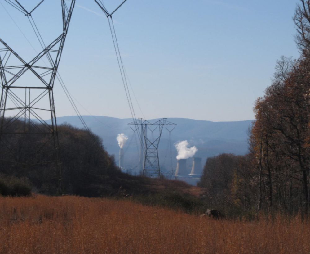
Coal fired power plant
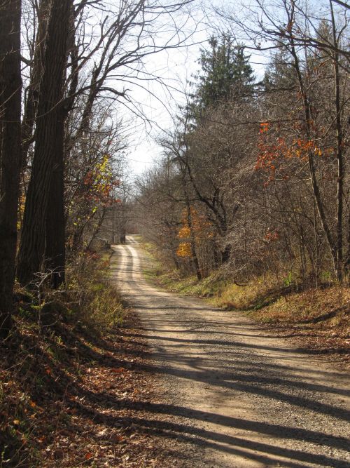
Tunnel Road
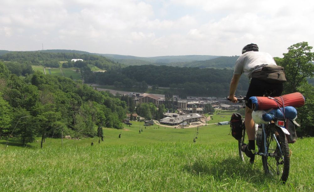
Seven Springs Resort
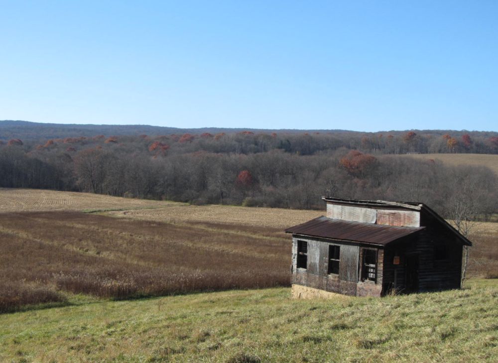
Shack
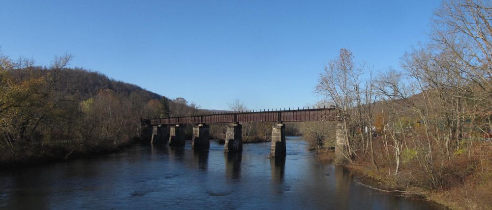
Railroad Bridge at Confluence
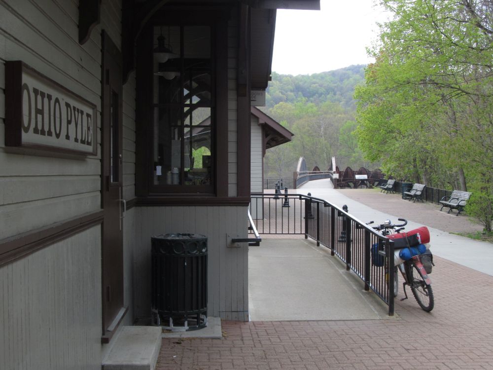
GAP Trail
Thanks for posting this!!! I’m looking to do a few night bikepacking trip in the laurel highlands in late spring. Question: Is there a reason you descended down to Laughlintown, just to climb back to laurel mountain? in other words, could you just keep going straight?
There is limited information on a biking laurel ridge — is it primarily double track?
If I recall correctly, the route needed to divert from the ridge just north of Route 30 because of posted land. Although maps show road connections, I’m pretty sure the roads are posted. There are (2) choices to get around the posted property, go to the west off the ridge and backup up route 30 or go to the east off the ridge and back up route 30.
The route takes the western option down to Laughlintown for a couple of reasons. There is a gated dirt road that bombs down the mountain in the gamelands. There is nice stream (water source) that parallels the dirt road towards the bottom and there is the Country Pie Shoppe, just about on the route. https://www.theoriginalpieshoppe.com/. (I mention that place, but I’ve have never stopped, but, besides Seven Springs, it is the only restaurant on the ‘ridge’ portion of the route, so it is noteworthy.) I don’t think the climb, (east bound on route 30) isn’t as bad as the other climbs on the route.
The riding on the ridge is mostly dirt road/double track, either on access roads (gamelands and/or pipeline roads) north of route 30. South of route 30, the route is on a paved road to the XC ski parking lot (mile 86) at Laurel Mt, then a well travelled gravel road to a snowmobile trail (which is essentially) double track to the hiking bridge over the turnpike. South of the turnpike, it is mostly gravel road to Seven Springs Resort. There is an option for a little single track in Seven Springs, near the old airfield. After Seven Springs, there is stretch of snowmobile trail and then I think it mostly paved roads into Ohiopyle.
The objective of this route was to come up with something that more or less parallels the Laurel Highlands Hiking Trail (LHHT). The LHHT goes from near Seward to Ohiopyle, is yellow blazed, and is highly regulated. Although sections look tempting, no bikes are permitted on the LHHT.
Hope this helps
JHL99