Arizona Trail, Desert Southwest (CO,AZ,UT,NM), Trip Reports » Salty-Gila Tour
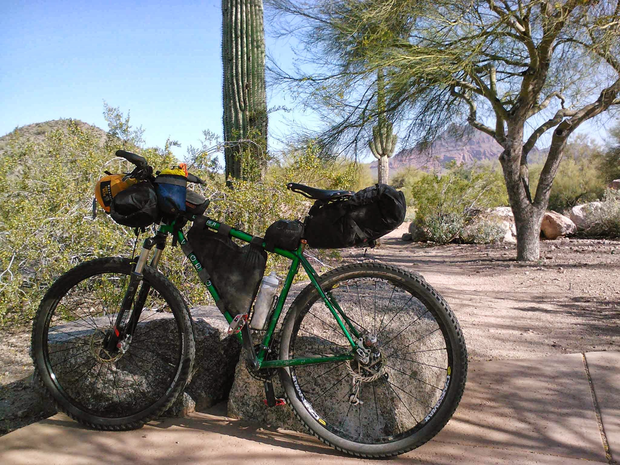
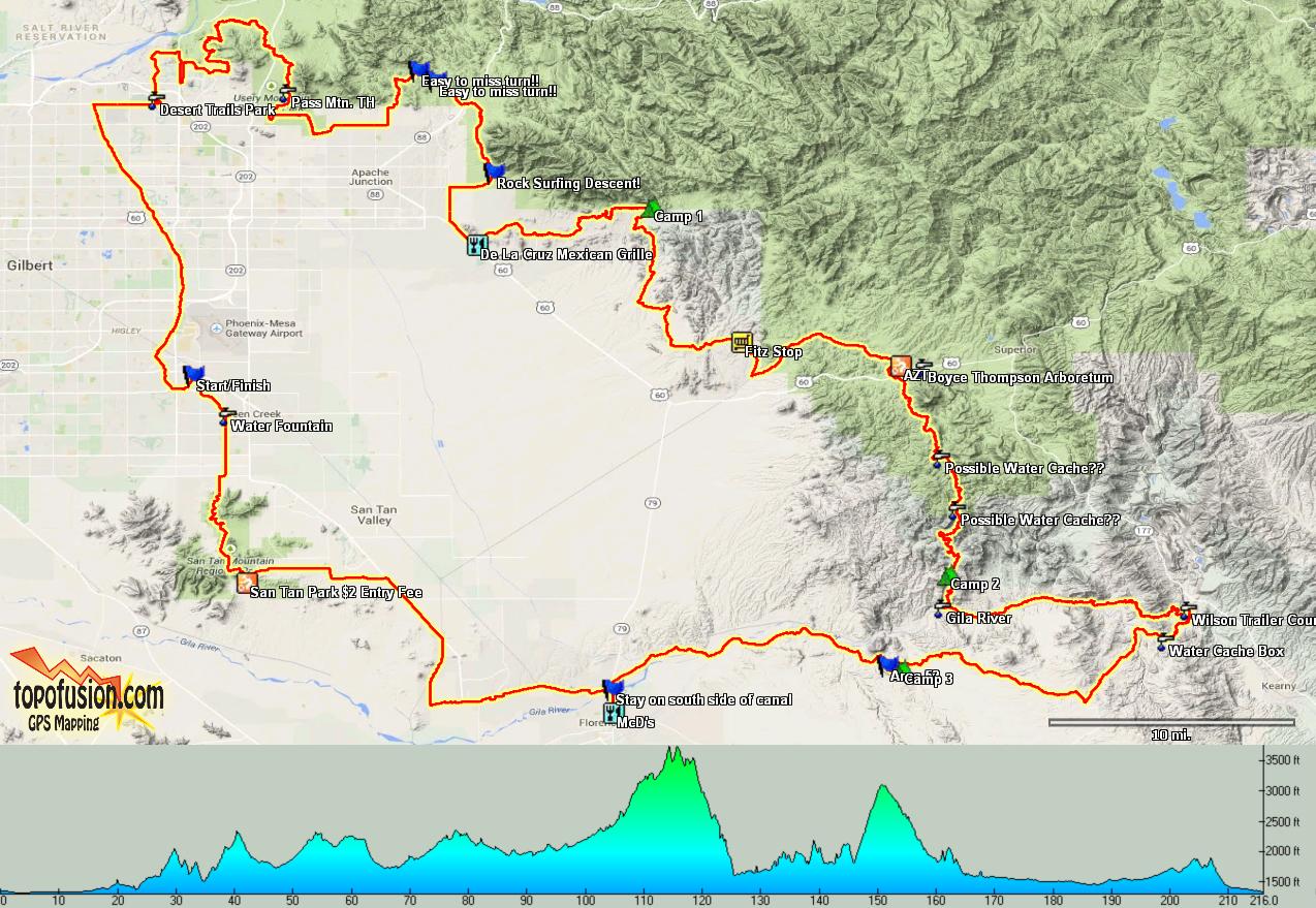
I’ve been scouting a 3-day bikepacking loop from my front door for the better part of a year. I gave it a go last year, but a few things went awry and I bailed out on day 2. This year the route was almost 100% dialed in beforehand and I had two compadres willing to tag along. Larry from Tucson & Michael who is practically a neighbor. I hadn’t met either fella beforehand so it was nice to meet some new bikepackers.
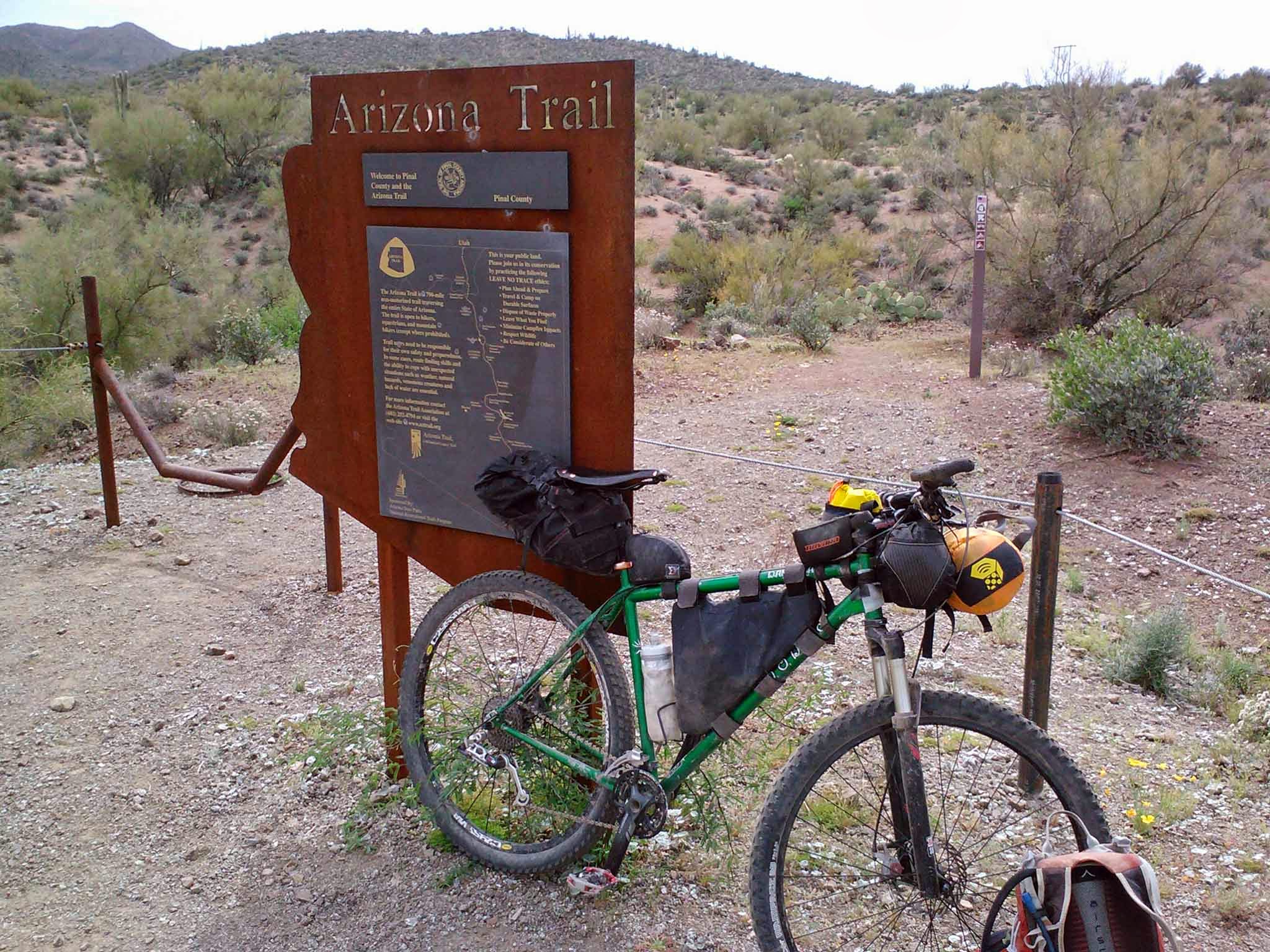
Larry and I had to meet up with Michael a bit down the road after he discovered a tire issue at my house! The route starts off with a few miles of greenbelt, then some miles of canal before dumping on pavement for a short stint. 20 miles from the start we were set for singletrack.
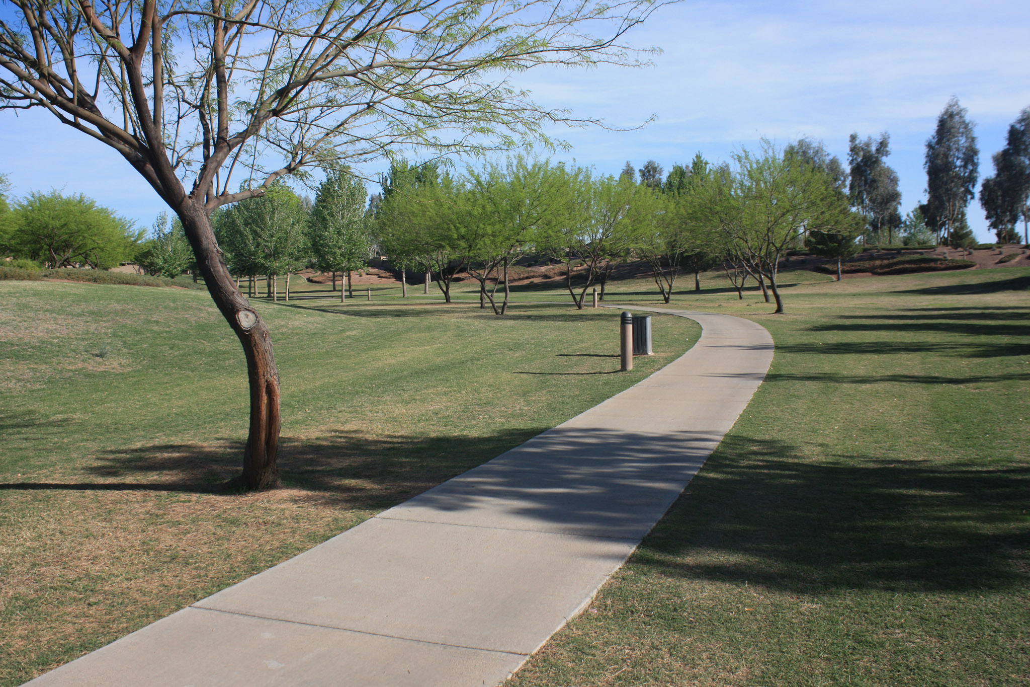
Nice way to warm up.
We could see the mountain path of the day all around us.
Hawes singletrack begins here.
After the 3 mile TRW trail we met up with Michael and jumped over to the Hawes trail system. We were only a few miles into it when I was dropping down some switchbacks and heard a crash behind me. It was Michael and his rear derailleur had snapped, arms bloodied. He was forced to bail before the ride really got going. I felt bad as this was going to be his first bikepacking trip and he seemed well prepared minus a spare hanger.
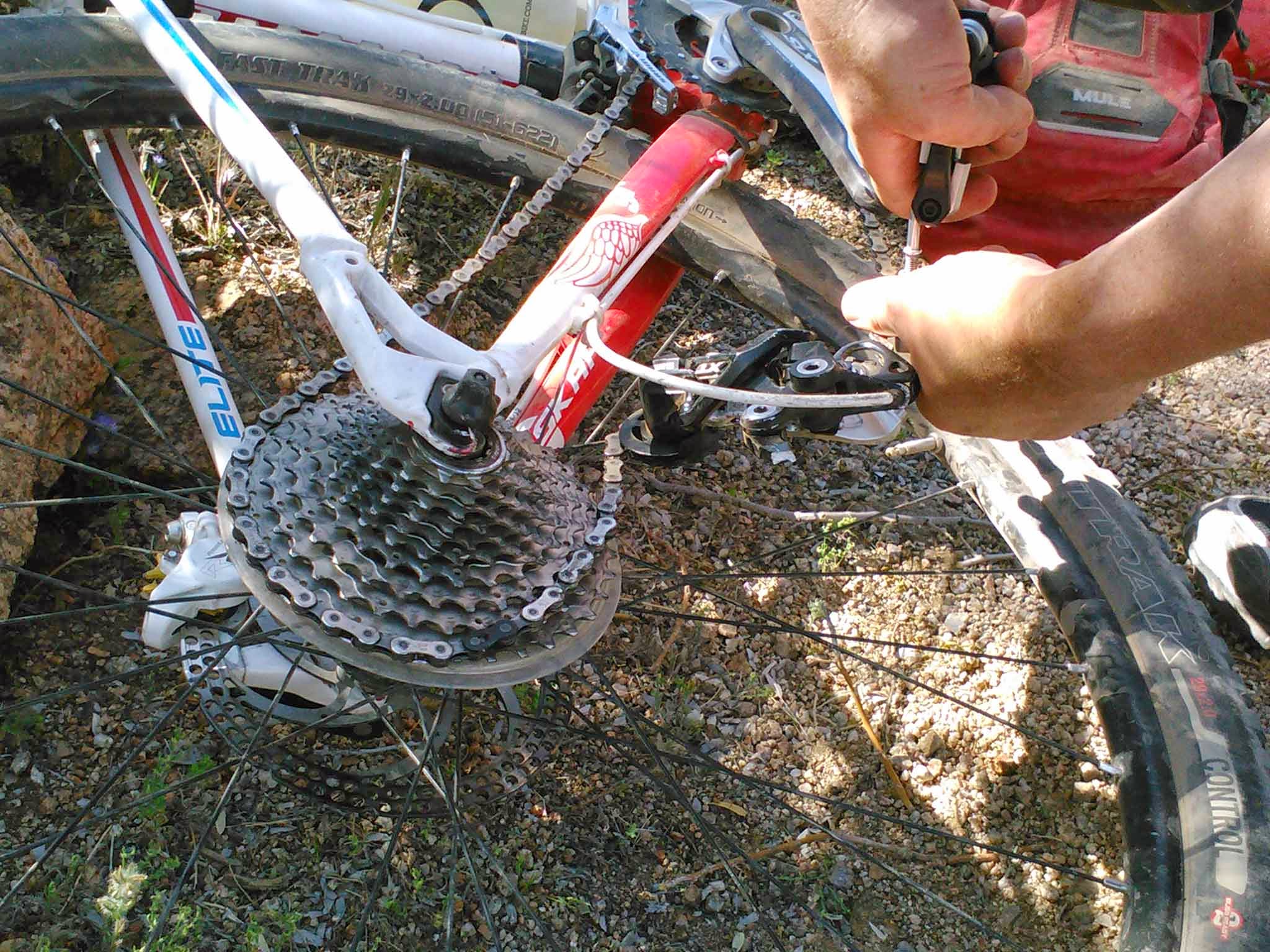
Michael’s day ended here.
Larry and I pressed on, climbing up to the Twisted Sister trail, connecting to Wild Horse and the NRA jumpline singletrack before crossing Usury Pass rd to the backdoor entrance of Pass Mtn.
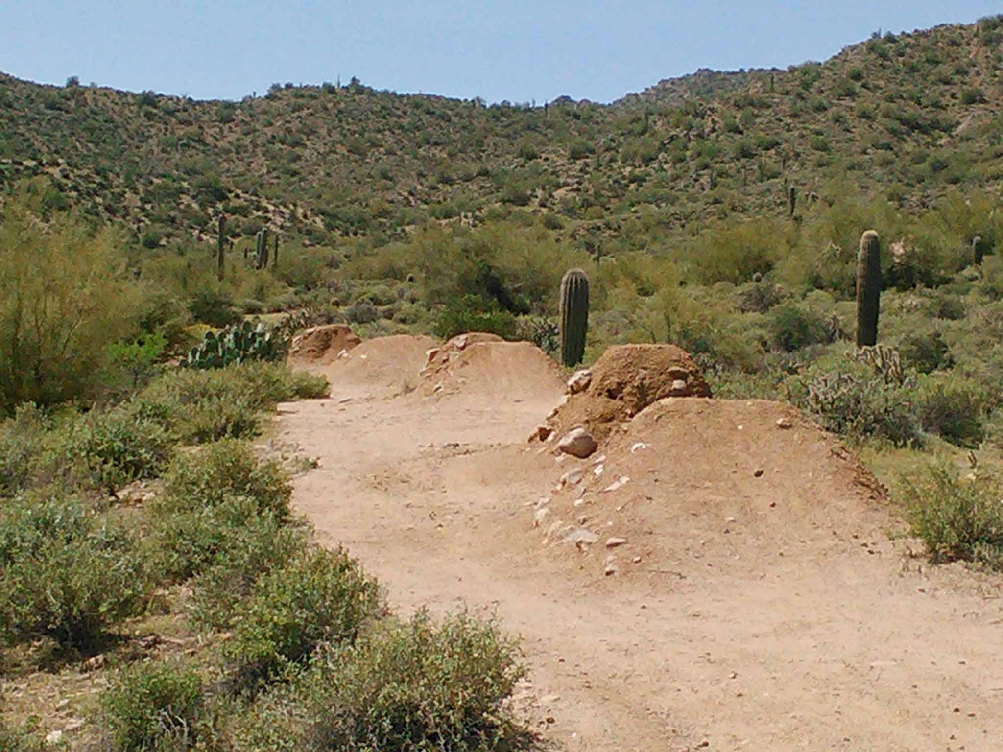
No radness on this day.
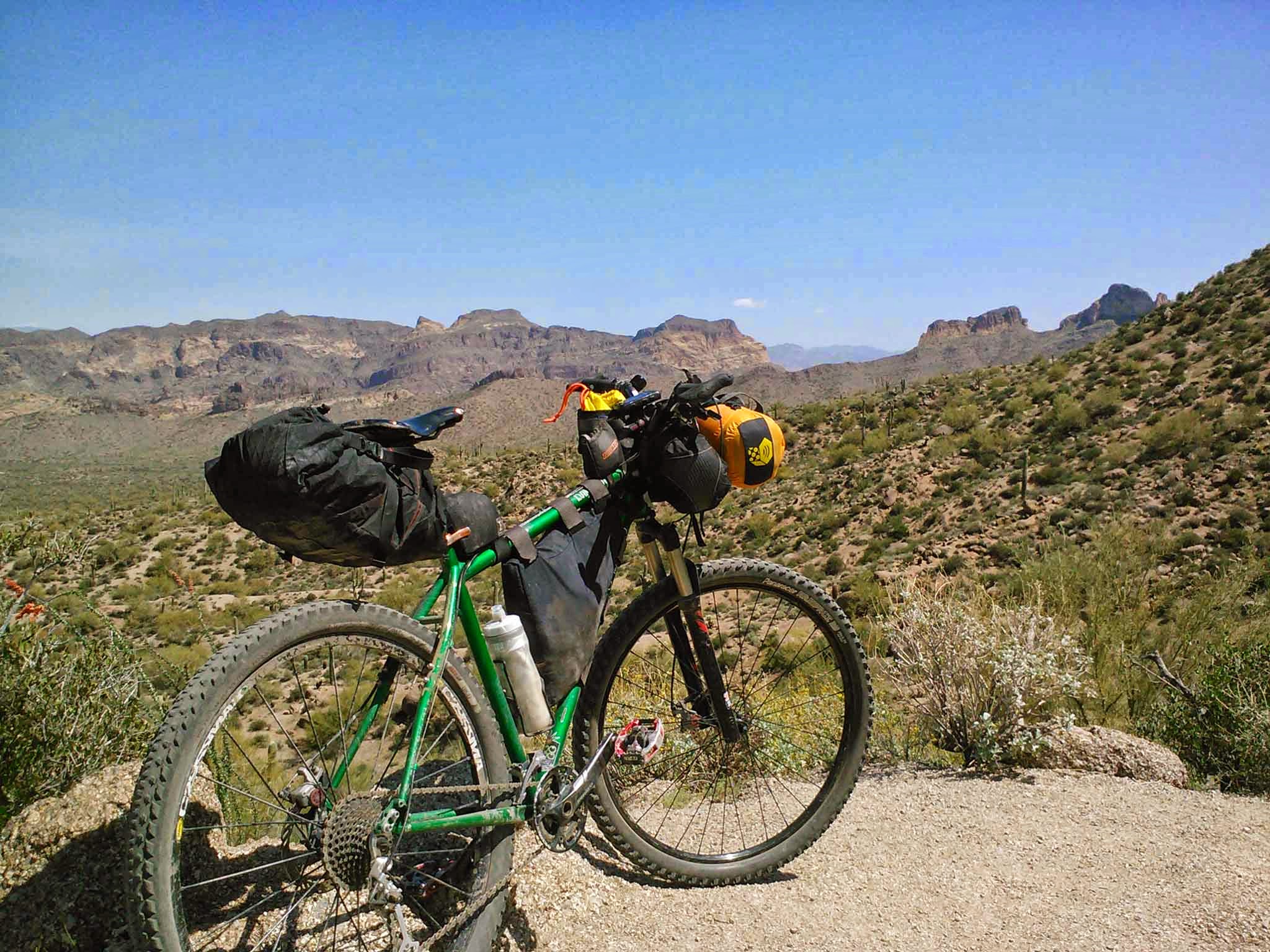
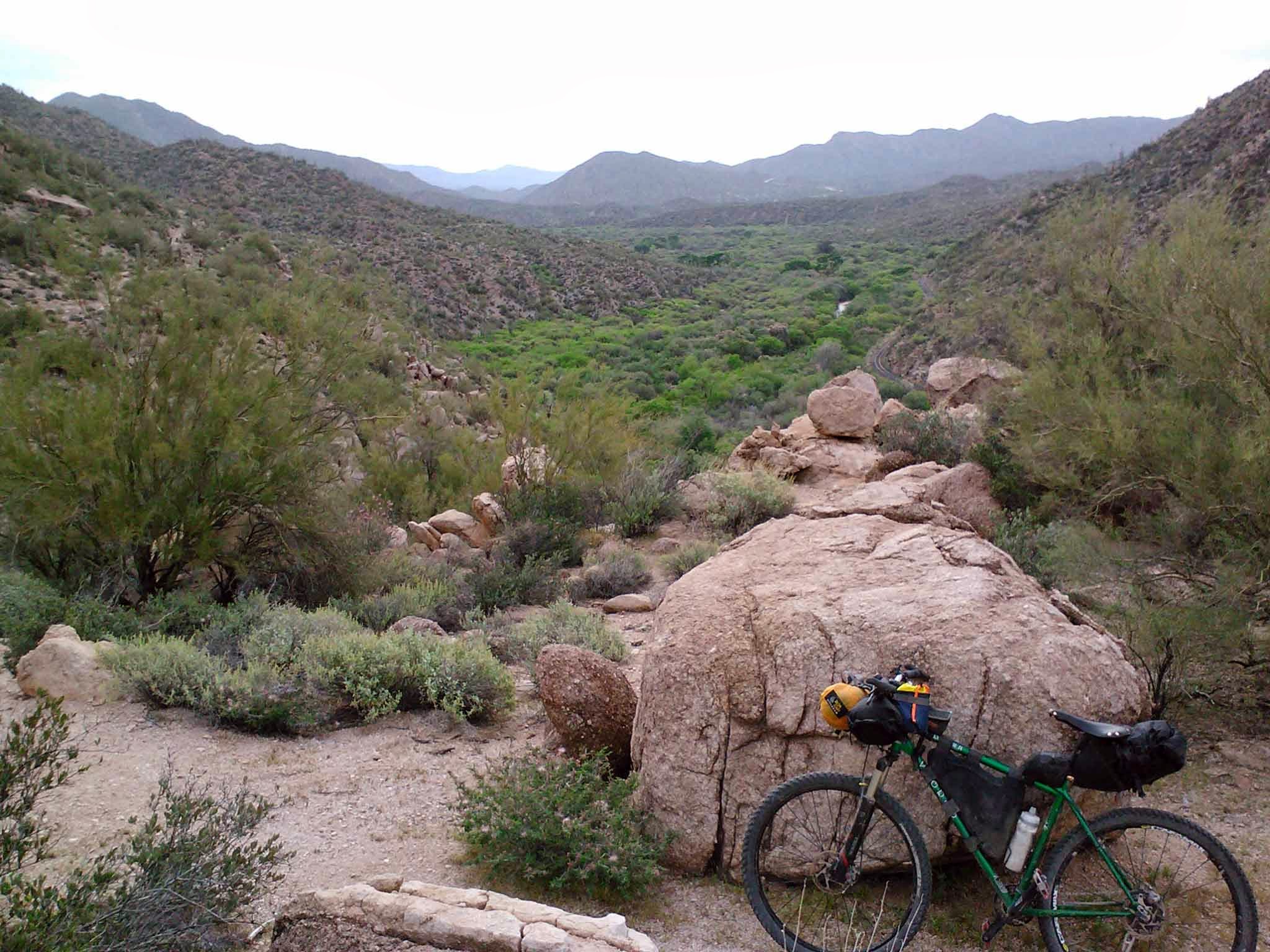
Looking down at Bulldog Canyon from the Pass Mtn trail.
The Pass Mtn trail would be our big effort for the day. Some HAB going up & down the upper section of the descent. The trail doesn’t smooth out much, if at all, but it’s rideable through the chunk. It felt good to roll on pavement for a mile afterwards!!
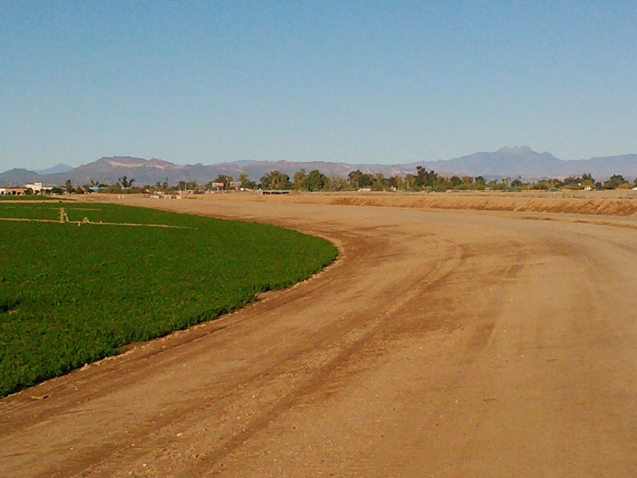
We hooked together some trails in Usury Mtn park and an open desert space on our way towards the Goldfield Mtns. This area is very scenic and highly underused by mountain bikers. There’s no trail system, but there’s singletrack to be mined in the hills…if you can find it!!
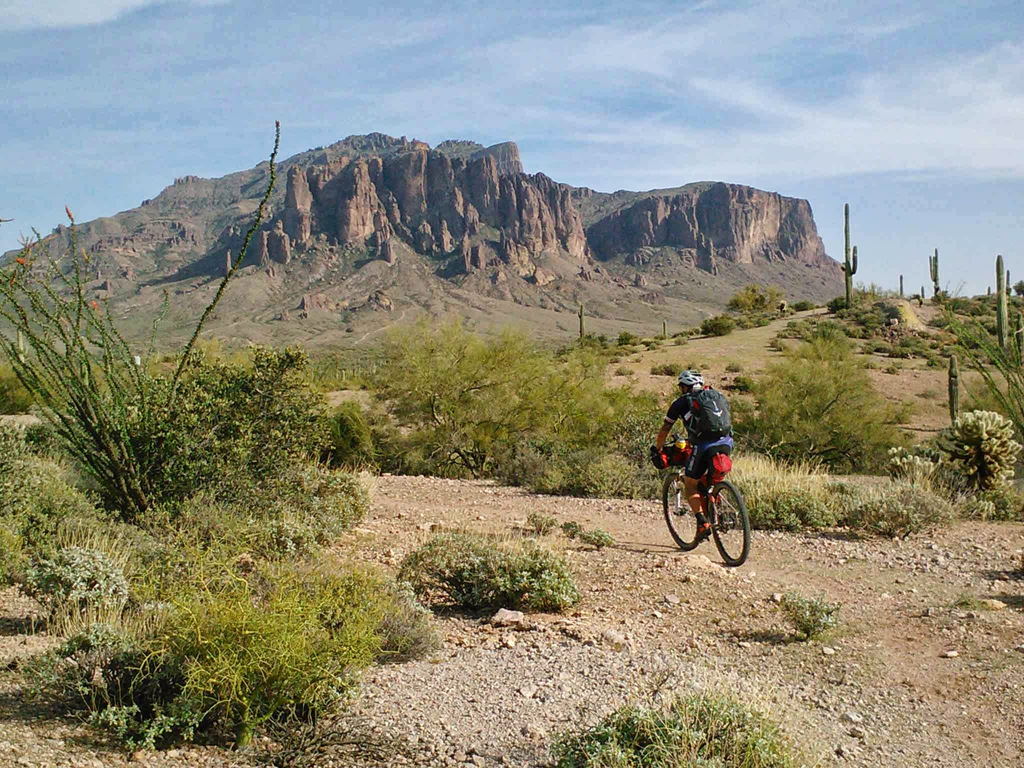
Superstition Mtns getting close as we exit the Goldfields.
The afternoon wore on and we turned our attention to dinner. A fine Mexican cafe won out, we just had to ride the Jacob Crosscut trail & some neighborhood roads to get there. To my surprise the JCT has had some work done on it recently making it much more fun to ride, but still presented some technical challenges. I became very curious to know how far east the trailwork extended, but that was for another day. We ate dinner, grabbed some re-supply from the grocery store around the corner and rode a few miles of the Gold Canyon trails in the dark before settling in for the evening.

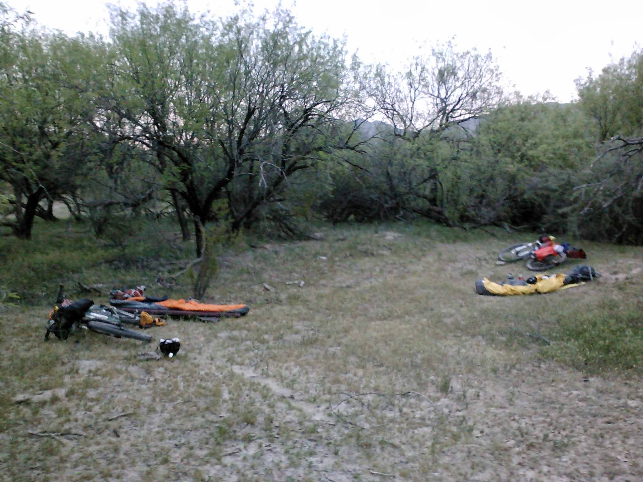
Our campsite for day 1, top of the Vortex in Gold Canyon.
The Vortex is a small slice of Sedona newage perched on a small hill inside the Gold Canyon trail system. The views at night are fantastic!! It’s cool to see the lights from town, the glow of the big city to the west and still be able to see the Milky Way while listening to coyotes howl in the distance.
The next morning we finished off the rest of our route through Gold Canyon being sure to hit the pump-trackish K-Trail. This day would be our toughest as we had a good 30 miles before reaching the Picketpost trailhead, then we’d be riding south on the Arizona Trail towards Kelvin. That alone is a nice day in the saddle. The forecast highs were to be in the mid-80’s as well.

Playing on the rocks of Gold Canyon.
On our way to Picketpost I had changed up the route slightly from last year finding a way to Hewitt Station rd without the need of riding the shoulder on busy US60. The added bonus? A convenience store in Queen Valley was now on route!! This allowed us to fill up on water, 25 cents to fill both of our bladders, and skip the 4 mile out-n-back into Superior.
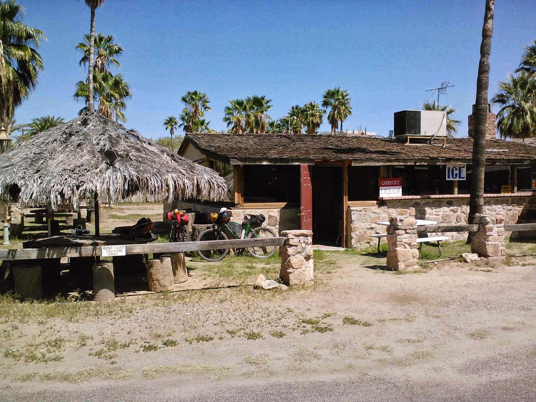
A true oasis in the desert, shade, cold drinks & food in Queen Valley.
It was starting to get warm as it approached noon. The shooters were out in force on Hewitt Station rd, taking aim at hillside targets. We met up with the AZT and rolled into the Picketpost trailhead around 1pm. We ran into a bunch of riders finishing up eager to hear what we were up to. We also met a couple preparing for an attempt on the AZT300 in a couple of weeks. I shared some of my experiences from last year and in exchange they offered a couple of ginger beers for our dinner down by the river.
We started south around 1:30p, it was warm, but not uncomfortable. Not wanting to over exert ourselves in the midday sun we focused on steady progress down to the river.
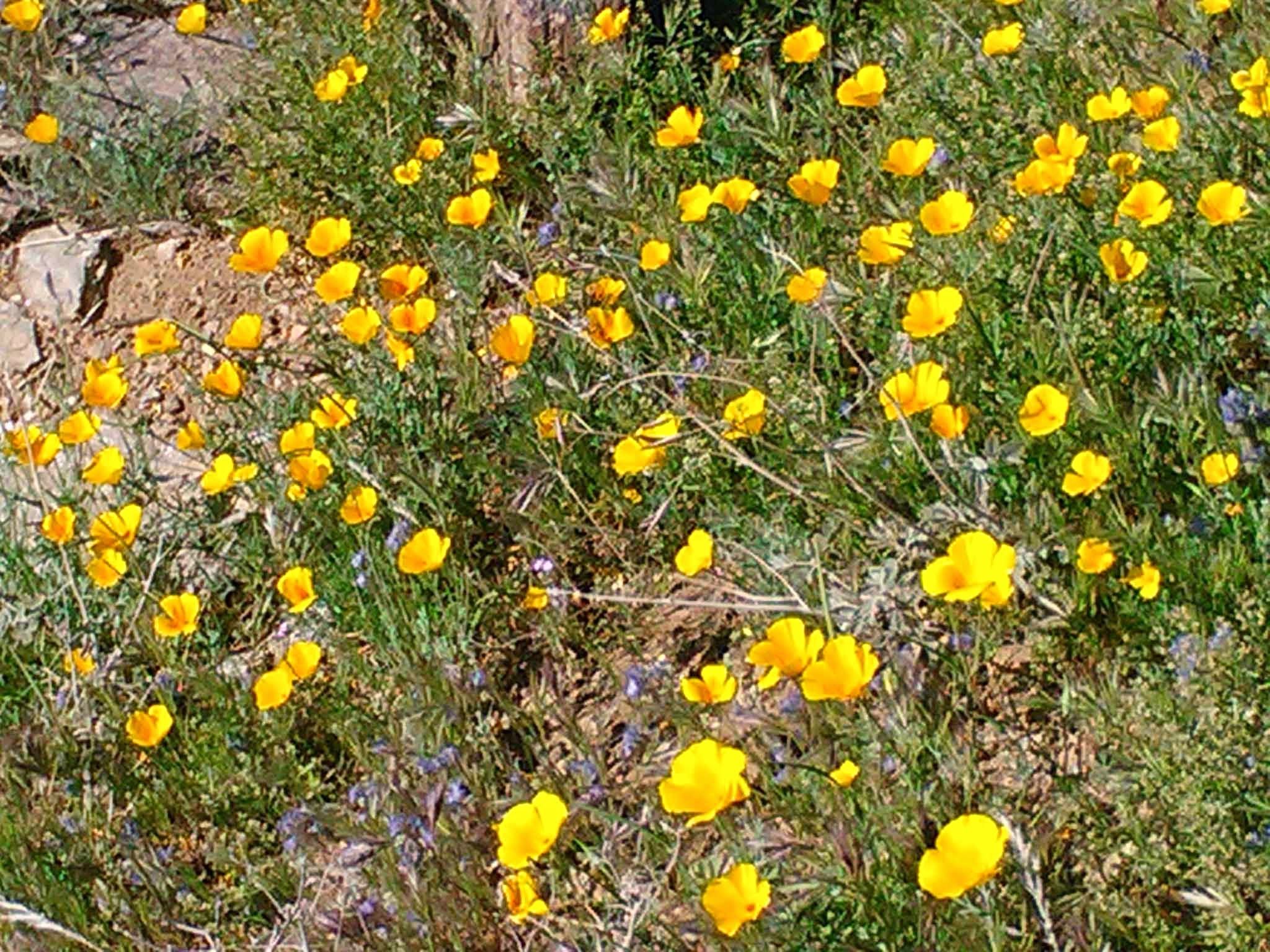
Poppies were out in force along some sections of trail.
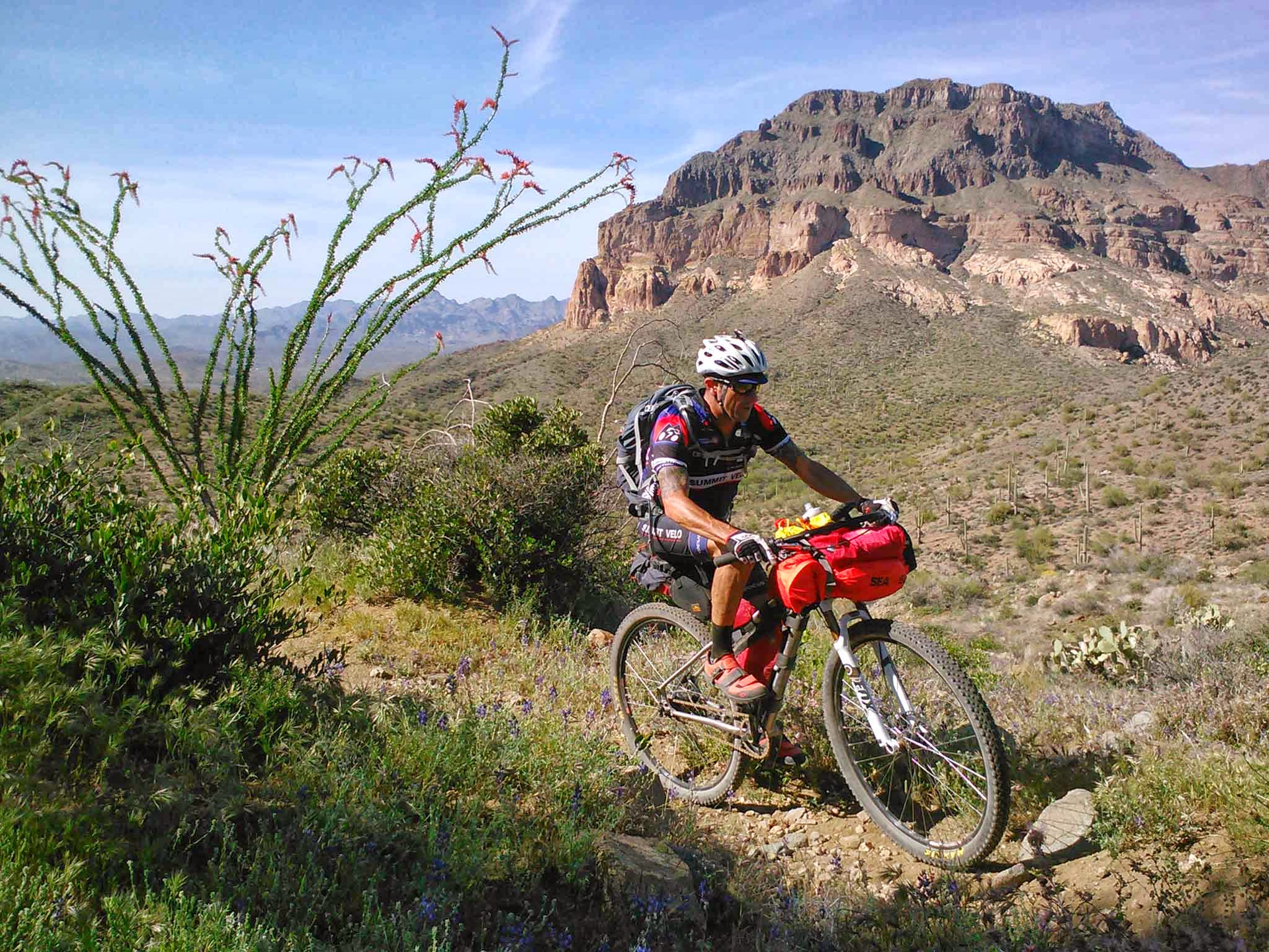
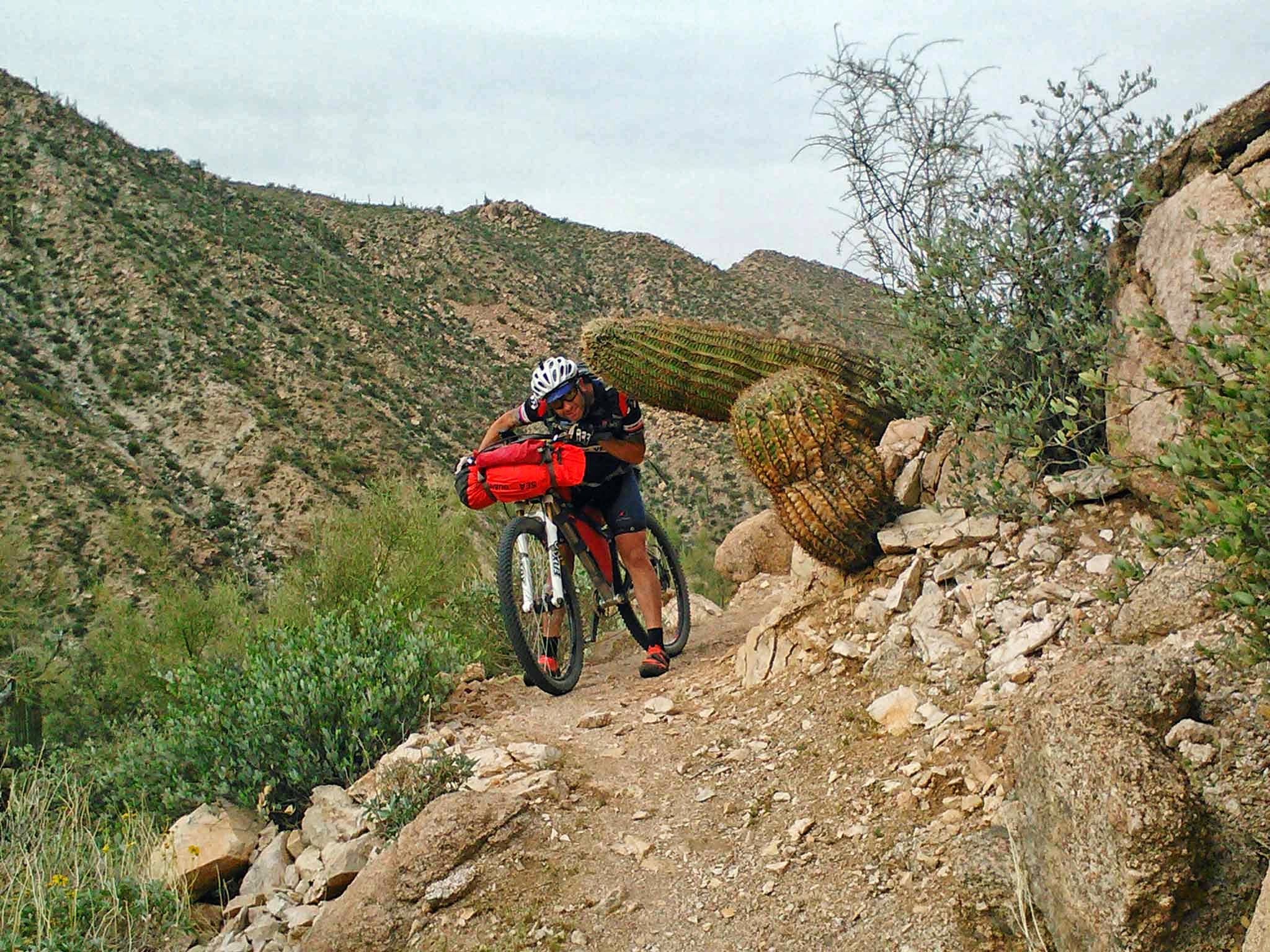
Larry rounds the corner with an impressive view of Picketpost Mtn cheering him on.
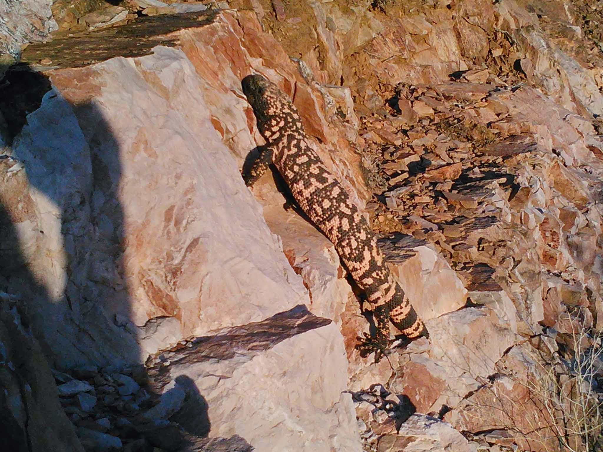
Our 2nd Gila Monster within an hour!!
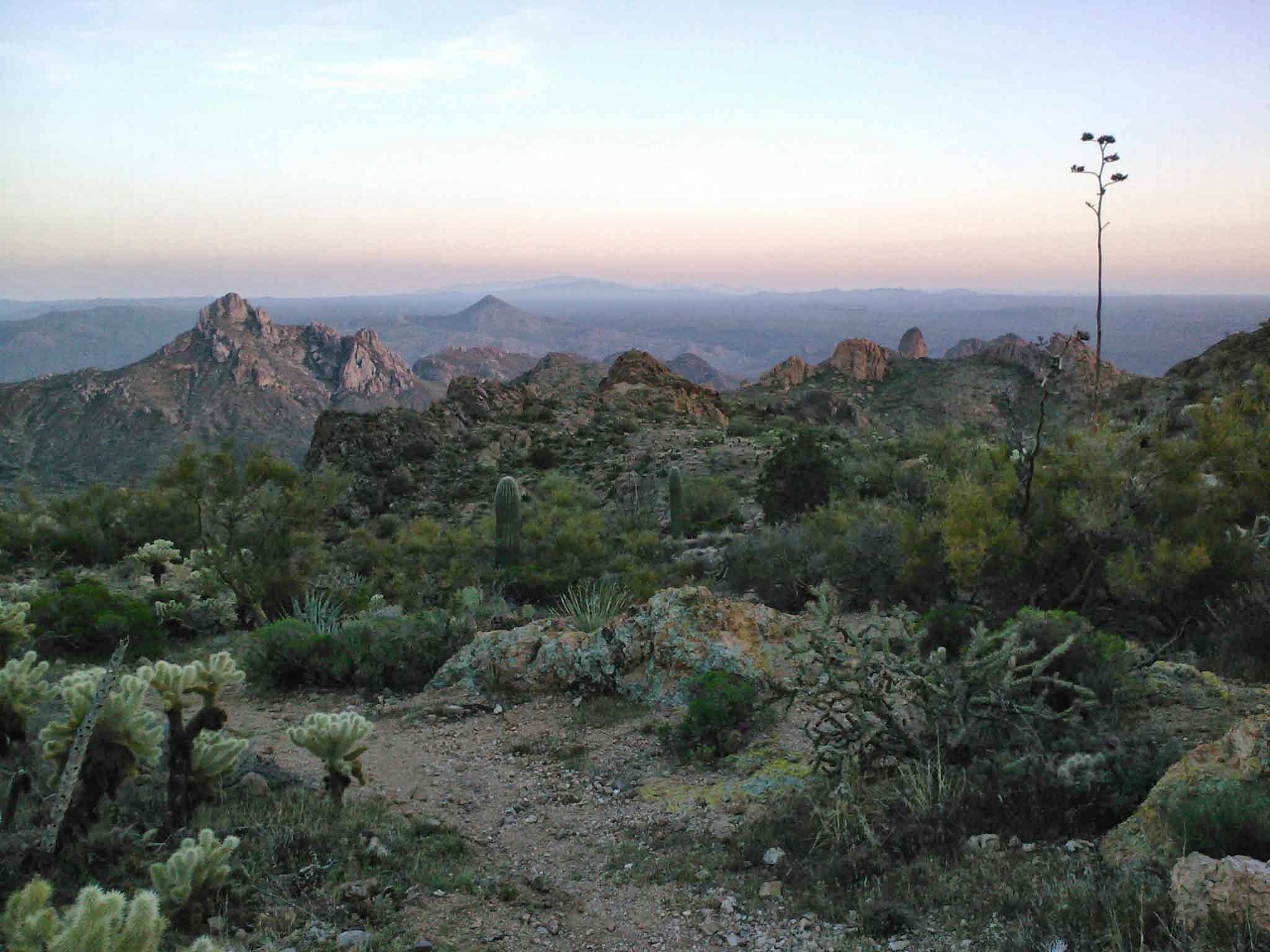
Gila Valley overlook right at sunset.
We geared up for some night riding, beginning with a 6+ mile descent to the Gila River and our next water source. It was fun to watch Larry’s light dancing above me as the trail zig-zagged its way down the canyon. The towering cliff walls silhouettes were barely visible through the darkness. I knew we wouldn’t make it all the way to the Kelvin trailhead this evening, so our adjusted goal was to make it close to where the singletrack turns to jeep road and find camp.
We spotted a nice grassy area under some trees, cooked dinner and downed our tasty ginger beers. This night was a little different as we could hear the faint gurgling of the Gila River while staring at the stars. Lucky indeed.
Our camping spot near the Gila River.
The next day started out with a little bit of trail, then a few miles of jeep roads to warm our legs up. The next six miles or so contour the hillside above the Gila River. All of a sudden things began to get interesting. First, my GPS signaled a ‘low battery’ warning only 30 minutes into the day?!?! It had shown a full charge at camp. Next, my rear tire was snipered by a pea-sized rock and lost almost all the sealant inside. It took a while, but with the help of tire bacon, I was able to stay tubeless until the end. Lastly, still a couple miles away from Kelvin my GPS & Larry’s died completely!! I knew the route enough to get us home, but there were a few turns here & there that I was unsure about. Luckily I could give just enough juice to the GPS to see where we were on the route if a decision needed to be made.
Lush Gila Valley in the middle of the desert.
It’s a gusher!!
The Gila can be a dangerous place if you’re not paying attention!!

One last climb before Kelvin.
Kelvin trailhead.
It was around 12:30p when we left the Kelvin trailhead, topped off with water, and made our way towards the Florence-Kelvin Hwy climb. It was the last real effort of the ride. At least it’s a well graded dirt road at a decent grade, but 4 1/2 miles on a loaded bike is still a slog.
At the top I consulted with the GPS and we made our way over to a power sub-station. It was here that I made a slight navigational error, taking us down a sandy powerline, thankfully it was angled downhill enough to ride, but it took extra concentration and effort.
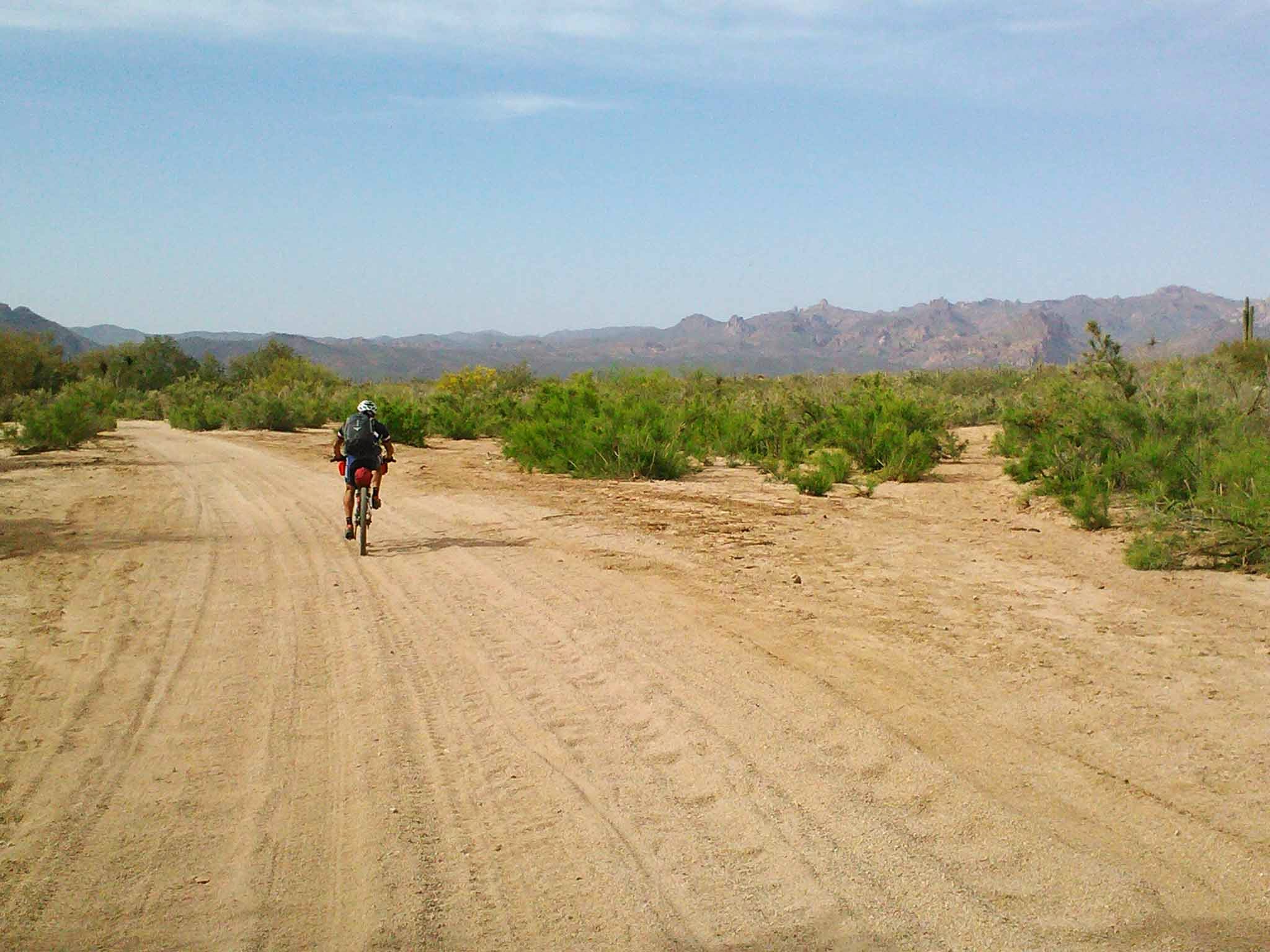
The sand highway towards Area 52.
We opted to skip the freeride playground known as Area 52 since it was getting late in the afternoon. We had our sights & stomachs set on reaching Florence before nightfall. A short HAB and rubbly stretch on the Area 52 bypass led us to a series of fast 2-track near the banks of the Gila River. As the miles ticked by we talked more & more about getting food and ice cold drinks in Florence. I was waiting to come across the gauging station, where we could cross the now diverted waters of the Gila only 7 miles from town.
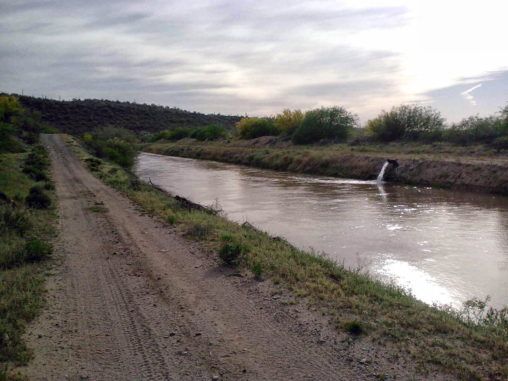
The diverted Gila looked quite refreshing.
We rounded a bend and saw a car approaching us on the dirt road, huh? We hadn’t seen a soul in over a day and now a sedan is driving on this road? Turns out, it was my buddy, Arturo, who had SPOT stalked us knowing we could use some cold drinks!! Score one for the SAG wagon!! We snagged some Cokes & Gatorades before making the final push into the wind towards town.
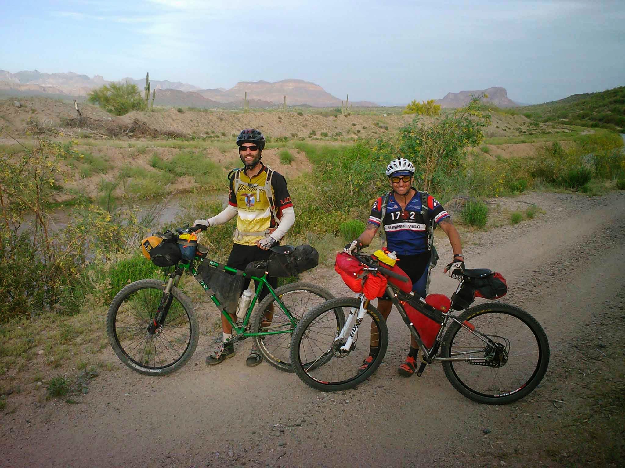
Two very happy bikepackers at Arturo’s SAG stop.
We reached Florence before sunset, ate and switched over to night riding mode. 40 miles to go. We mashed out the first few rather quickly aided by a couple of dogs chasing us down a canal bank! We rode up a lonely dirt road, where i almost dove into a washed out section of road in the dark – it was waaay too close of a call. At the end of the road I discovered my GPS had fallen off my secondary mount and wriggled free from the zip-ties as well. I was bummed big time. We opted to finish the ride on pavement for the last 10-15 miles. I ended up going back out to the dirt road the next day and found my GPS lying all by its lonesome, whew!
What a fantastic 3 days of riding. Amazing trails, incredible views, great company and all right out my front door!! Tough to compete with that. See you next year!!
For more details on the ride, check out the full three part report here: Salty-Gila Tour
very nice! that looks like a great trip.
Nice. I too have experienced the pain and then pleasure of trying a route from the house–the first time was awful and I bailed, but the second time the route was fixed and the trip went great. It’s a good feeling.
Thanks!! Next year’s version will be a 4-day variety probably a few weeks earlier to cool things off a bit. I’ll be adding a dirt road climb up the west side of Montana Mtn to Roger’s Trough, thus picking up the AZT right at the Wilderness boundary. The new high point of the ride will be around 5400′ and give riders the opportunity to ride all of passages 18, 17 & 16 to Kelvin, arguably the best section of the AZT!!
Looks great. We are practically neighbors. Bikepacker in San Tan Ranch here at Pecos and Higley. Hope to see you out there some time Scott.
Hey Scott, you’re right only a few miles away!! If you ever want to ride, give me a buzz. It was great following another AZ rider on the Tour Divide earlier this year, Congrats on the finish!!
skidevil46 at cox dot net.
Looks like an awesome ride! how did camping at vortex work out, any issues, and are there any regulations/permits you have to obtain to camp there?
Dan,
Sorry for the long overdue reply. I actually saw this comment during this year’s ride…as I was about to konk out for the night at the Vortex!! As far as I know, only a State Trust Recreation permit, since it’s on State Trust Land. $15 per year for an individual. It’s a fantastic spot to camp for the night, not a ton of room up there if there’s more than a few riders though.
Here’s the recap from this year: http://schillingsworth.blogspot.com/2015/02/queens-ransom.html
Does anyone have the gpx coordinates, or can tell me where to download?
John M,
Here you go: http://www.schillingsworth.com/gpx/QueensRansom/
I changed the name of the route a couple of years ago.
Here’s the ride report from the 2016 version: http://schillingsworth.blogspot.com/2016/02/queens-ransom-v30.html
You can download the latest version here:
http://www.schillingsworth.com/gpx/QueensRansom/
Thanks!