Desert Southwest (CO,AZ,UT,NM), Trip Reports » 4 Days in the Sierra Nevada
Day 1
Man, life’s been crappy, too much work and the fallout of a failing relationship had me looking for a way out of here. I finally managed to schedule a Fri and Mon off and took off from the back door for places unknown, really, I had no plan and no one knew where I was going. I figured a nice long trip would be good for the soul. A leisurely pace was set upon as I had no reason to hurry.
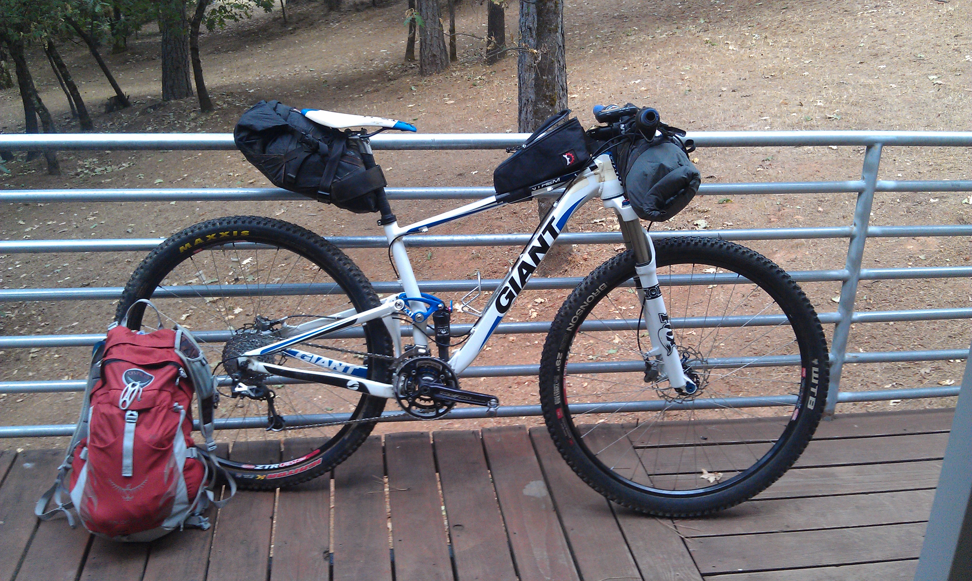
I had packed the bike the following week for a warm dry route. Friday morn arrived and the forecast was for thundershowers and rain in the Sierras, crap, out came all the wet weather gear and my bike magically gained 5 pounds.
My plan was to ride a bit of the California Sierra Trail Race route I’ve been working on for the past year. I’d already been out the first 150 miles of the route a few times this year so I decided to head out a different way and hook up with the course at about the halfway point and follow it back home from there.
I figured I’d head for Tahoe via Foresthill Rd and Soda Springs, then on to Truckee and eventually Lake Tahoe. If I got dumped on I could always bail to my cousins house in Tahoe Vista. Sure enough, after heading out Foresthill Road, up to Robinson Flat, out through the Cedars and up to Soda Springs and cresting Donner Pass I got hammered. All the way across Truckee, Martis Valley and up 267 to Brockway Summit I got caught in the worst T-Storm I’ve ever ridden through, that includes some pretty nasty stuff on the Western Slope of Colorado.
I crested Brockway summit and the sun was shining, literally in the space of a 1/2 mile the weather changed 360 degrees. I figured I’d head to my cousins anyways, it would give me a chance to pull everything out and get my gear and myself dry for the next 3 days. All in all a pretty stellar day even with the drastic weather changes, 100 degrees to full on hail, all in the span of 8 hours.
Let the fun begin!

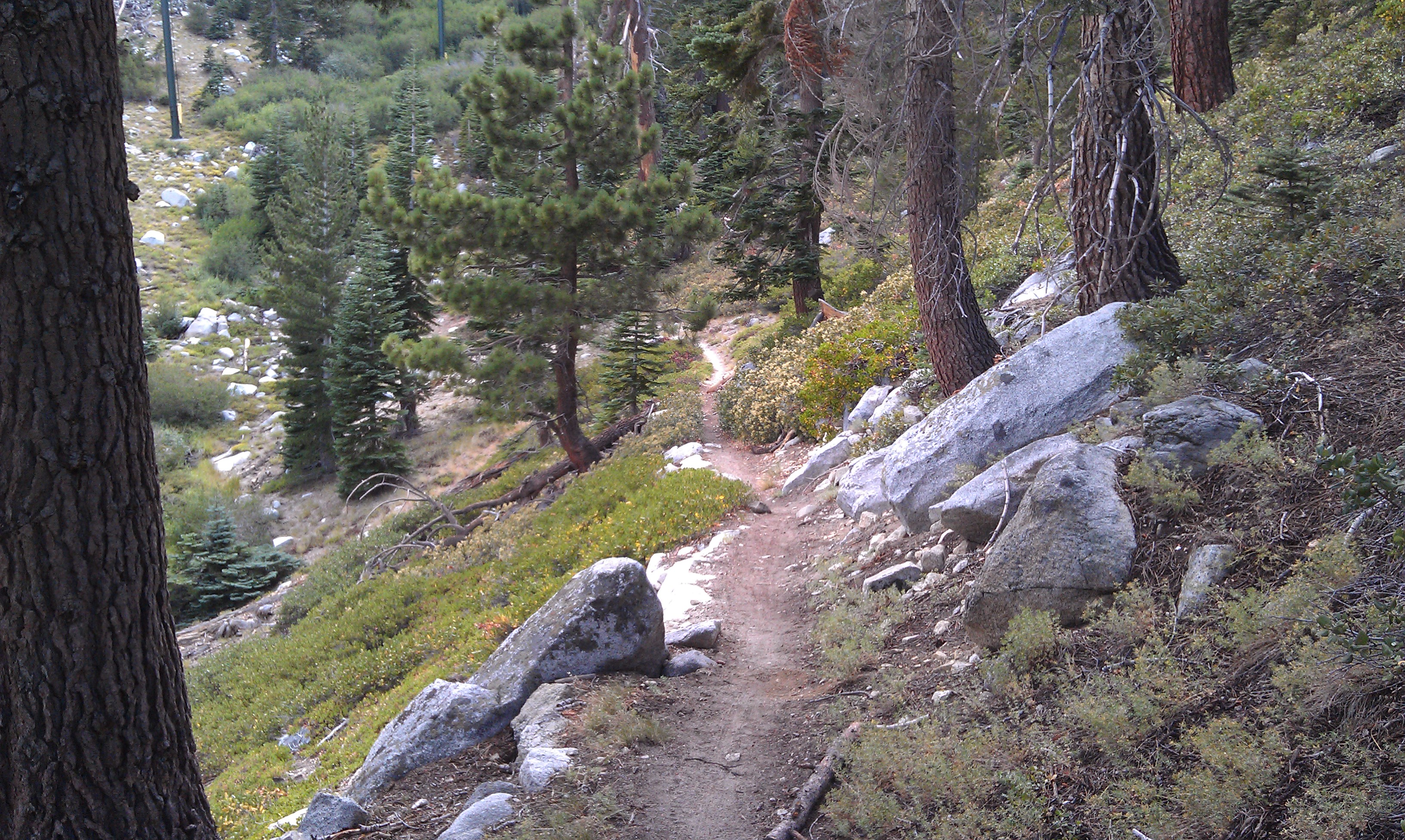
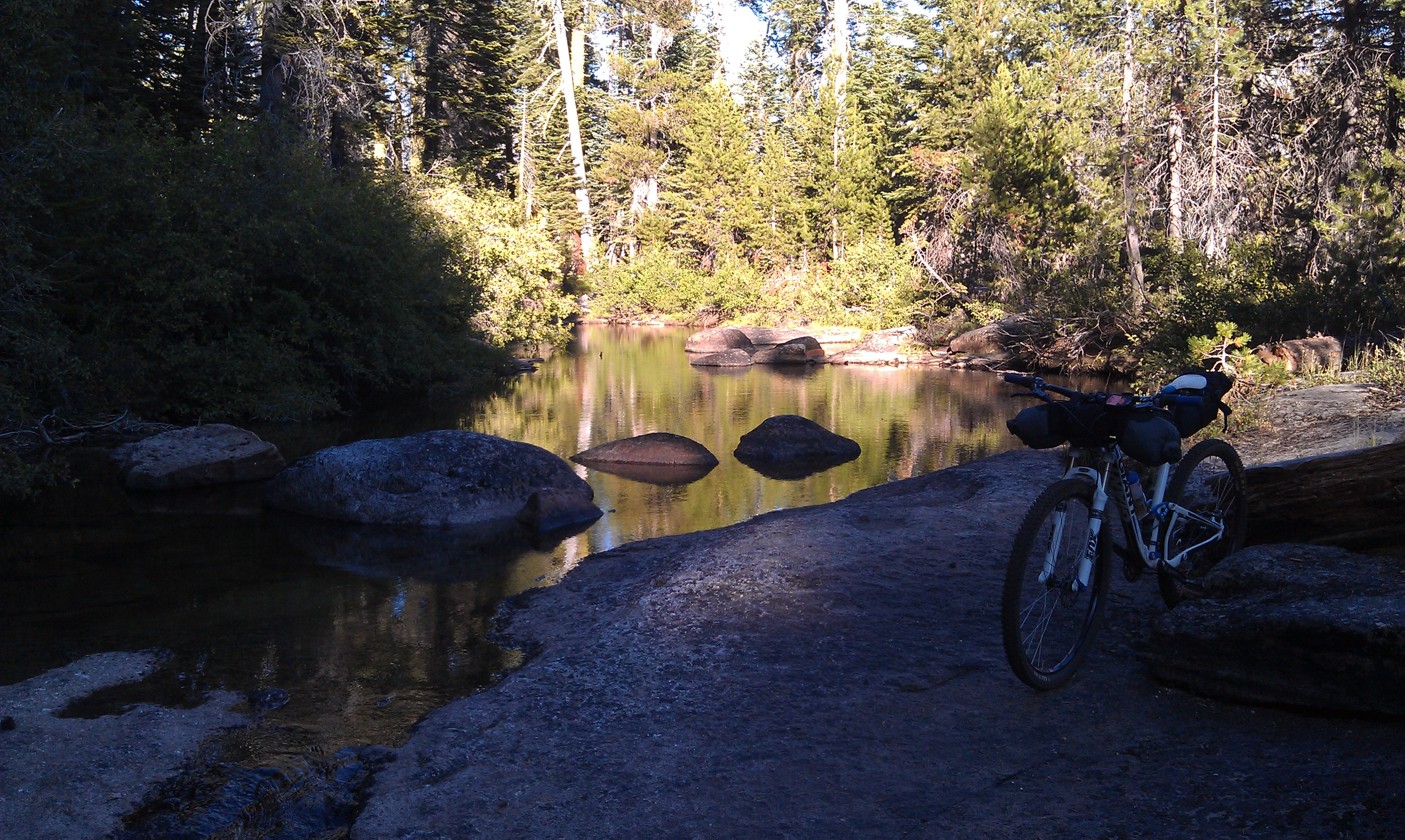
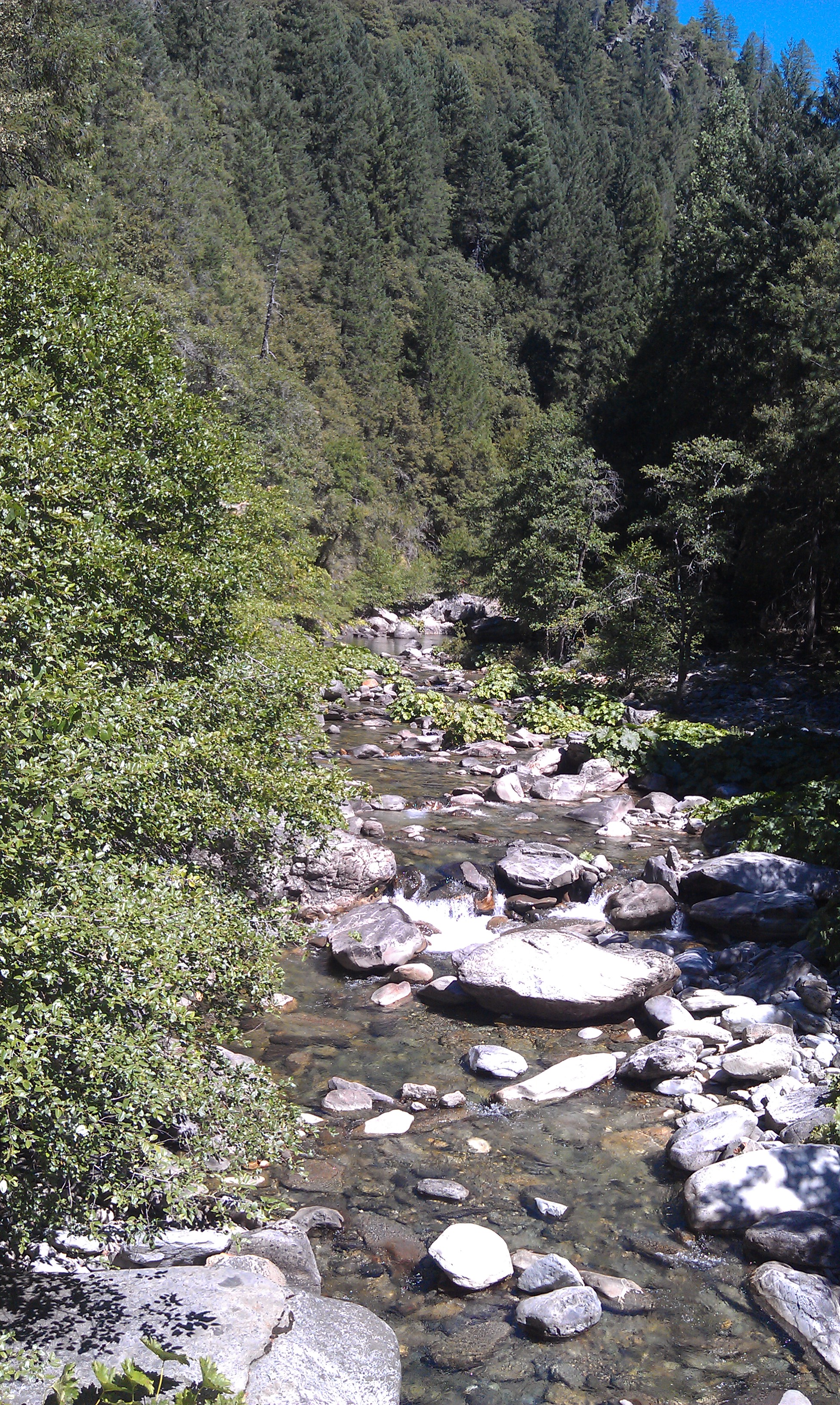
Royal Gorge and the mighty North Fork of the American River
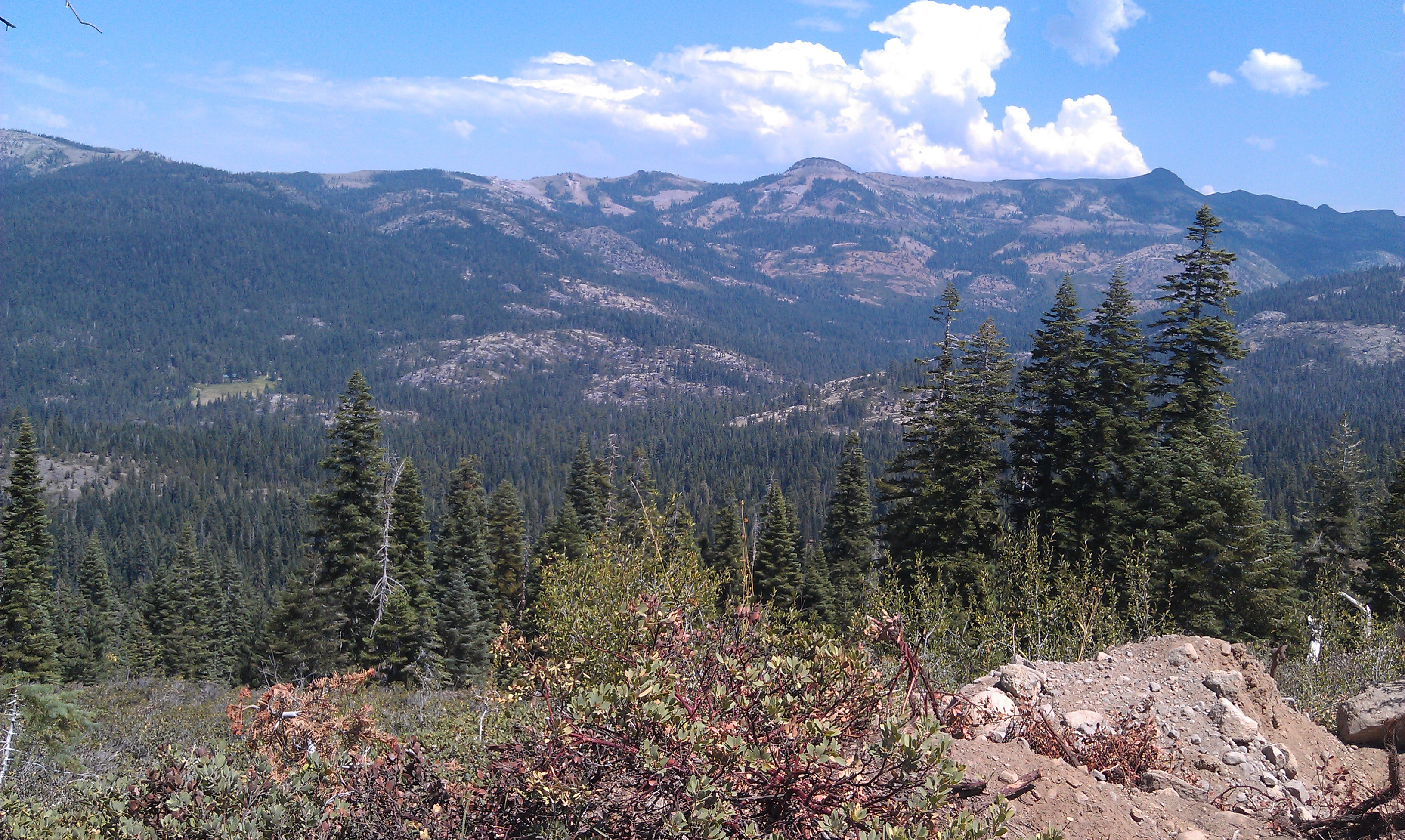
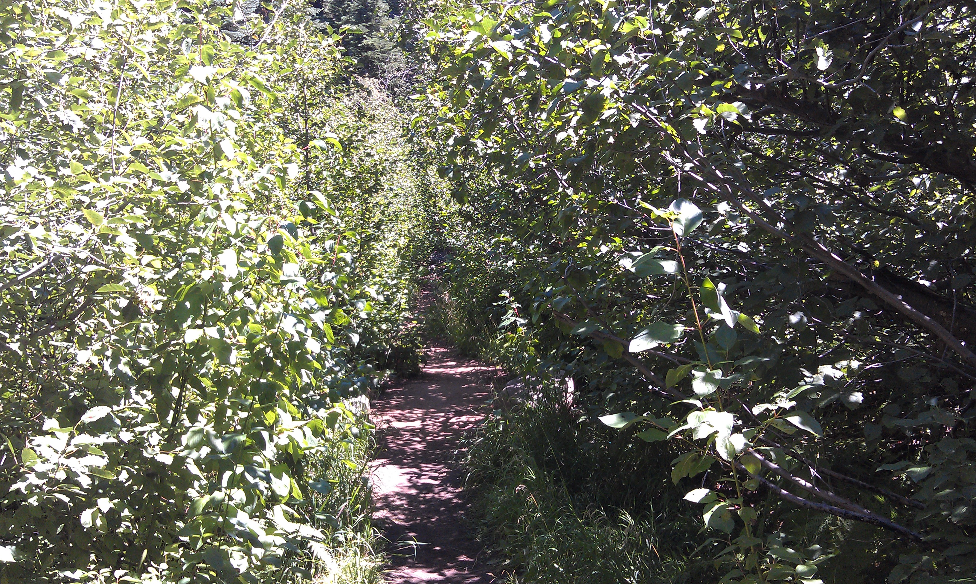
Looking out onto the West slope of the Sierras
Day 2
After a lovely but late evening with my cousin and her husband Sat morn arrived all too early and with a few showers. I was dressed and off by 7am for the long day over to Luther Pass or Scotts Lake, whichever I could make before dark. After yesterdays rain out, I wasn’t going to do that again, my ass was pretty chafed from wet chamois for the better part of two hours.
The trails were simply awesome from the previous days rain, maybe the best I’ve seen the Spooner and Kingsbury sections of the Tahoe Rim Trail. Simply an outstanding day, perhaps a top ten day on the bike.
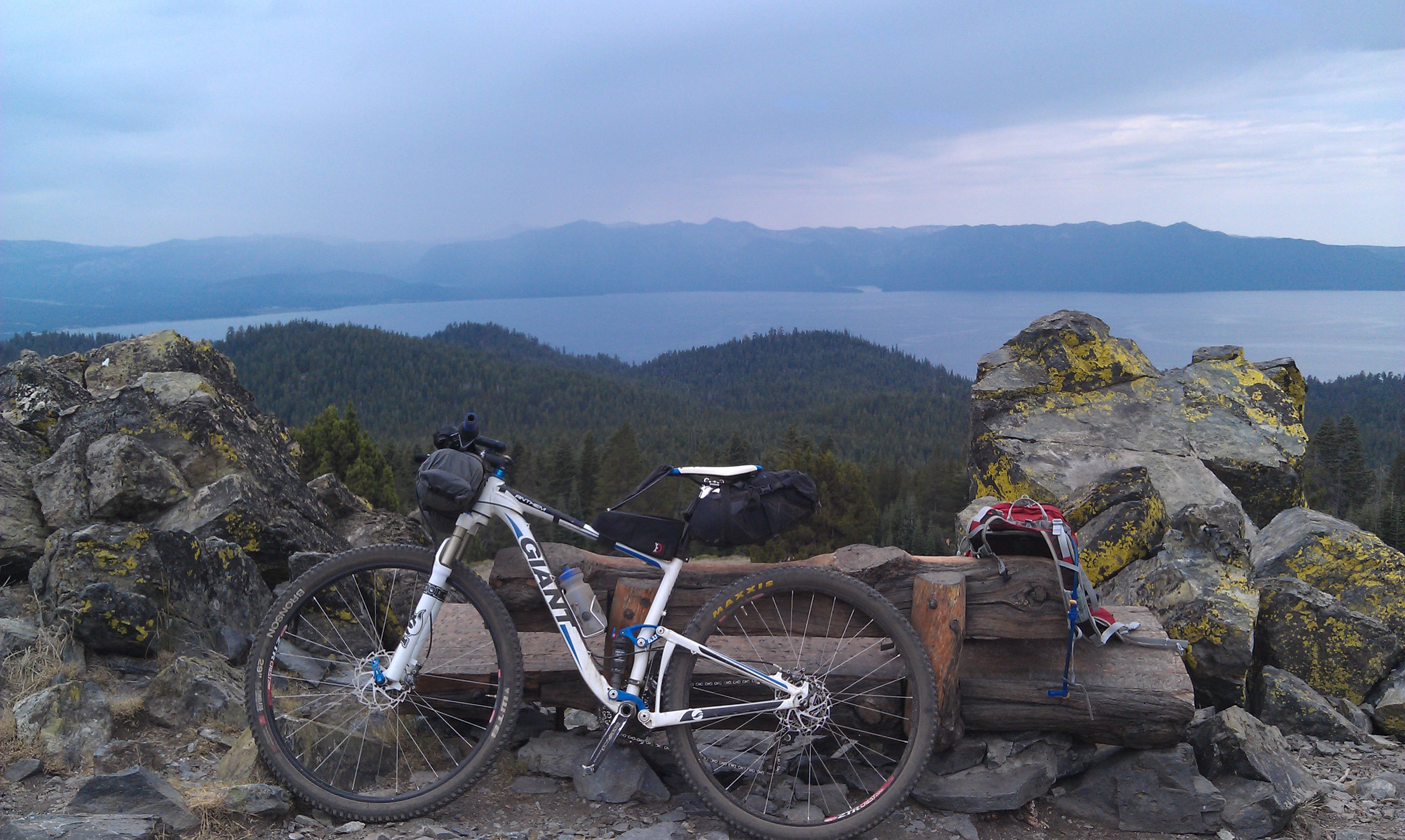
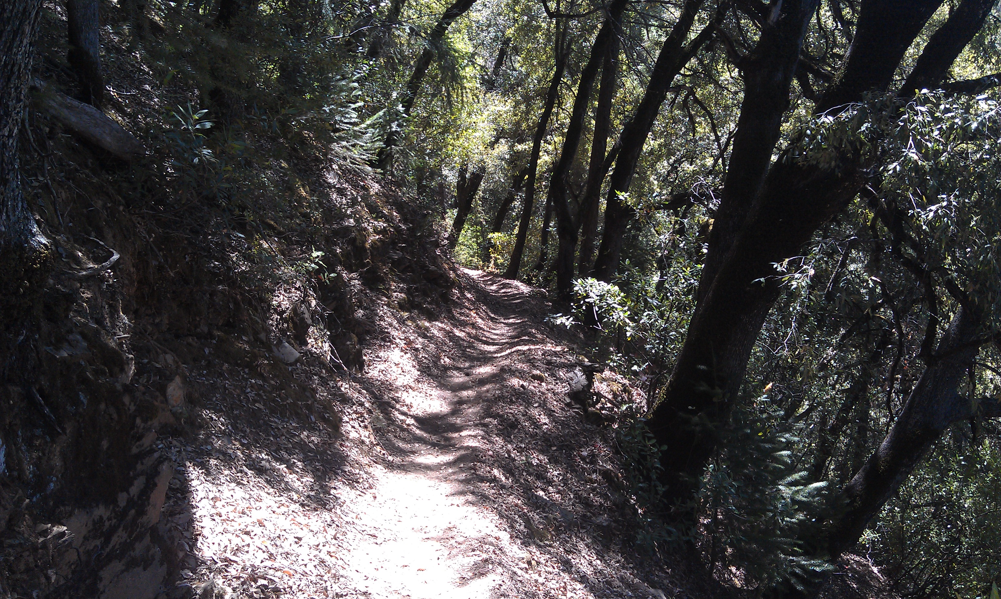
The route started from Tahoe Vista and out Hwy 89 to Hwy431. The climb up to Tahoe Meadows and the Tahoe Rim Trail at 9,400′ is a nice little 2000′ climb, just the way to start the morning off right. From there it was all Rim Trail all day. Some of the most spectacular trail in the world unfolded in front of me for the next 8 hours. The skies were threatening all day but not a drop of rain fell on me, although I could tell others around the lake were not so lucky. Absolutely brilliant day on the bike!
<iframe height=’405′ width=’590′ frameborder=’0′ allowtransparency=’true’ scrolling=’no’ src=’http://app.strava.com/runs/22848180/embed/2a2b82105c51c23d7fd6861aa987c6dff908140a’></iframe>

Overlooking Lake Washoe in Nevada from the TRT
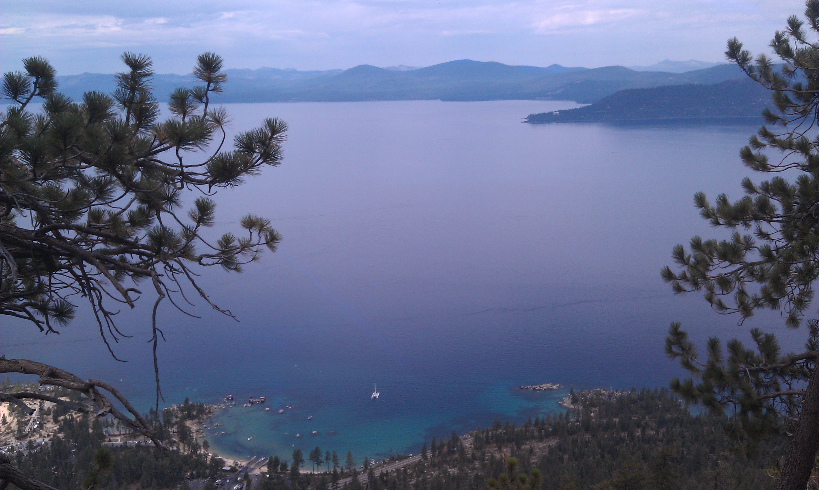
Lake Tahoe
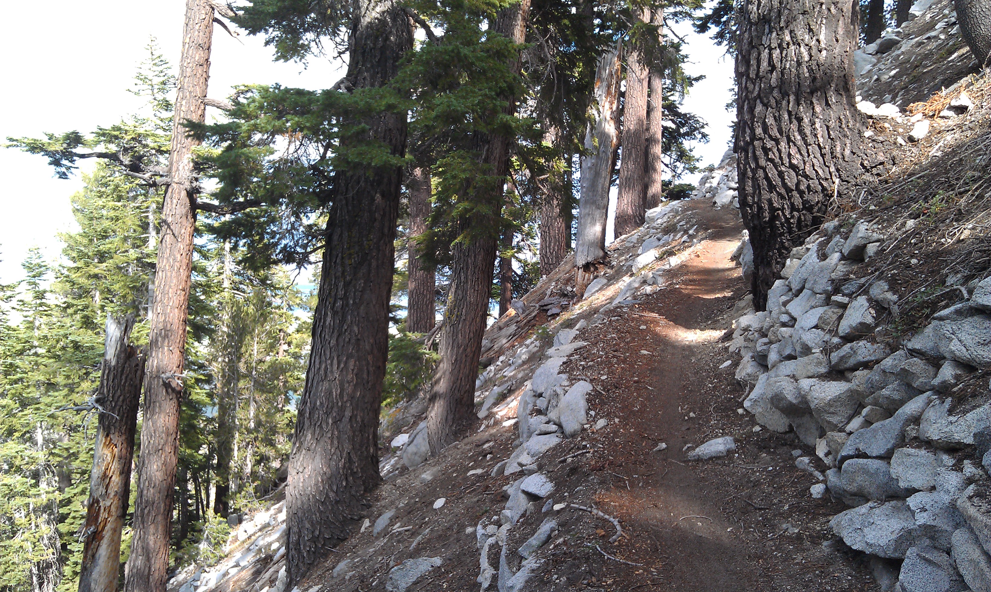
Looking out to the West shore of Lake Tahoe from the bench between Spooner and Kingsbury summits.
Rim trail excellence!

Washoe Valley and Carson City Nevada
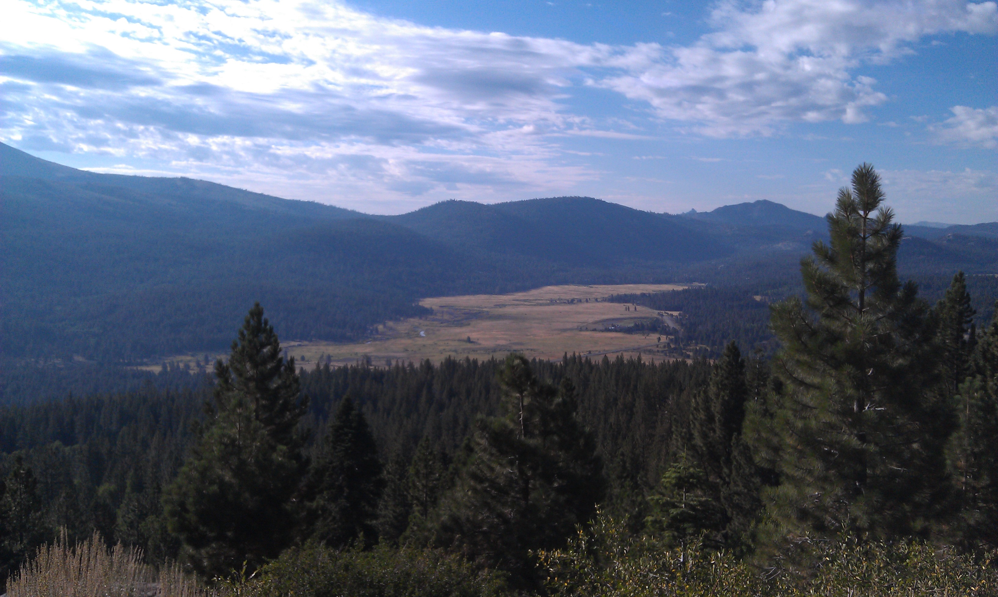
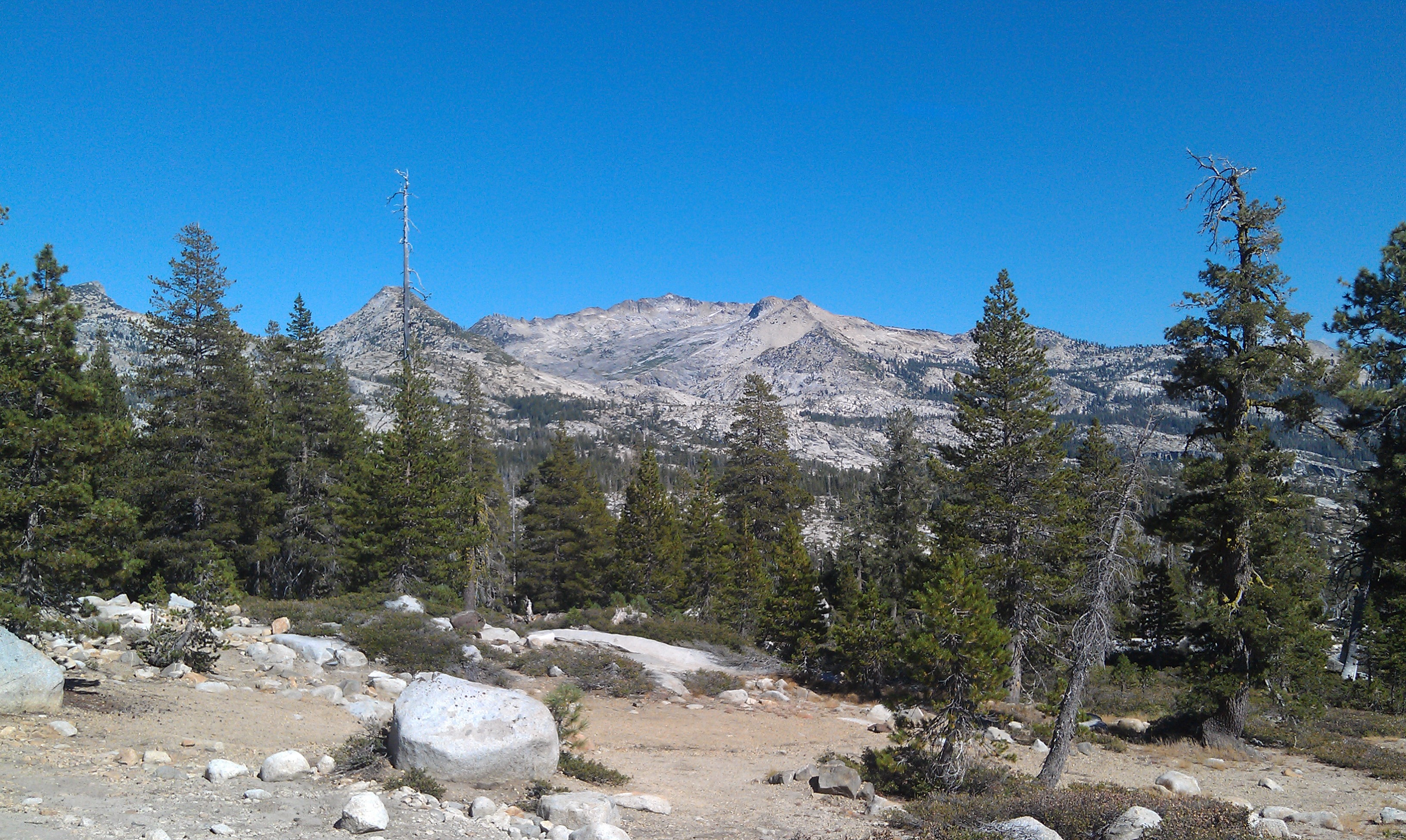
Hope Valley in the distance
More Rim Trail goodness
Day 3
After spending the night just off of Luther Pass I was off to ride the Scotts Lake Connector so I could go down Scotts Lake trail to Big Meadow Trail and then down Christmas Valley to start the day off, pretty stellar way to wake up!
After a spending spree at Lira’s market in Meyers I was off to climb to the top of Echo Summit and the Pony Express Trail. The Pony Express trail had seen a bit of rain as well and was in great shape, certainly not many folks riding this gem.
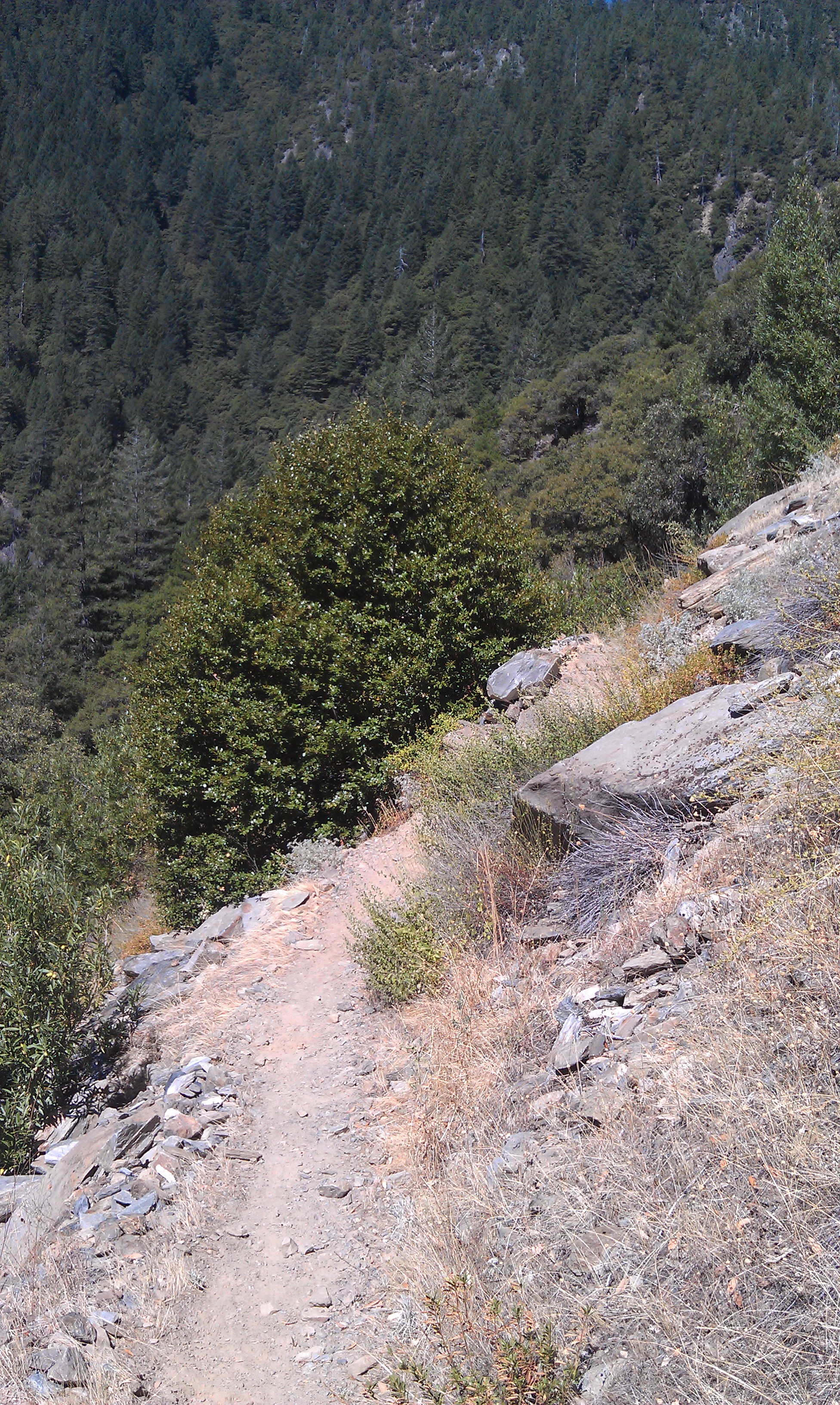
After a lunch break in Strawberry I was off to conquer the dreaded paved Wrights Lake Road to make my way up to the Barrett Lake OHV trail. This is a tough little climb, especially on tired legs. I finally made it to Barrett Lake OHV and rode/walked this trail for 4 miles till I reached the Two Peaks Trail.
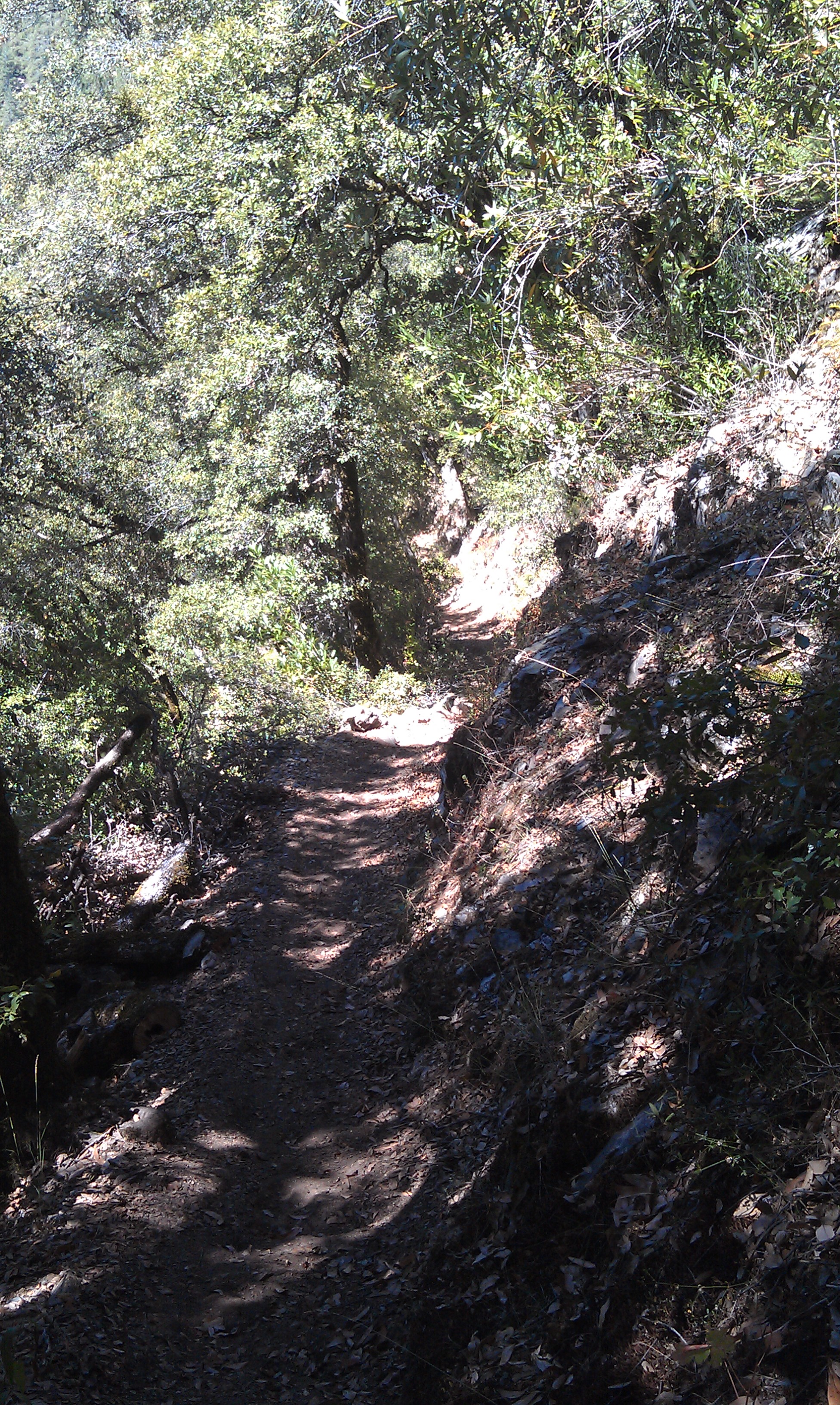
I have been looking for this trail for a couple of years and finally found the top of it a couple of months ago( hours of bushwacking to find it!) This trail is essentially a stock trail, they use it to run cattle from lower elevations up into the high country. They had already moved the stock up so the trail was totally beat in, real easy to follow and apart from being a bit loose a really fun but tough trail. I averaged 3 MPH over 10 miles on Barrett/Two Peaks
From the end of Two Peaks I slogged/pushed up to the Tells Creek Equestrian Camp and then it was a road ride from there to the Rubicon River on Eleven Pines Road off of Wentworth Springs Rd. I set up camp below the bridge on the mighty Rubicon River. A pretty easy day by bike, a bit tough on the feet with the hike a bike but overall a really nice day. I was super stoked to finally find the Two Peaks Trail, I needed this little piece to make the trail race work.
<iframe height=’405′ width=’590′ frameborder=’0′ allowtransparency=’true’ scrolling=’no’ src=’http://app.strava.com/runs/22848164/embed/10de778d167ebaa1da58698b6320909d4a5f2b52′></iframe>
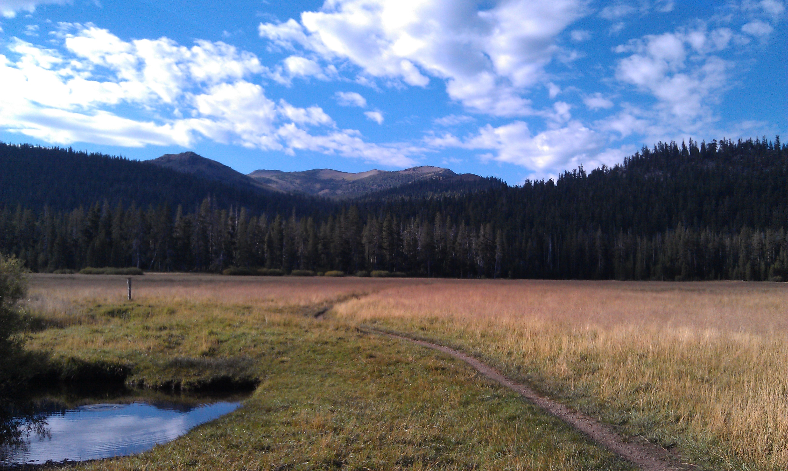
Rim Trail through Big Meadow
Pony Express Trail, yes the original one to Utah!
Looking east from Pony Express
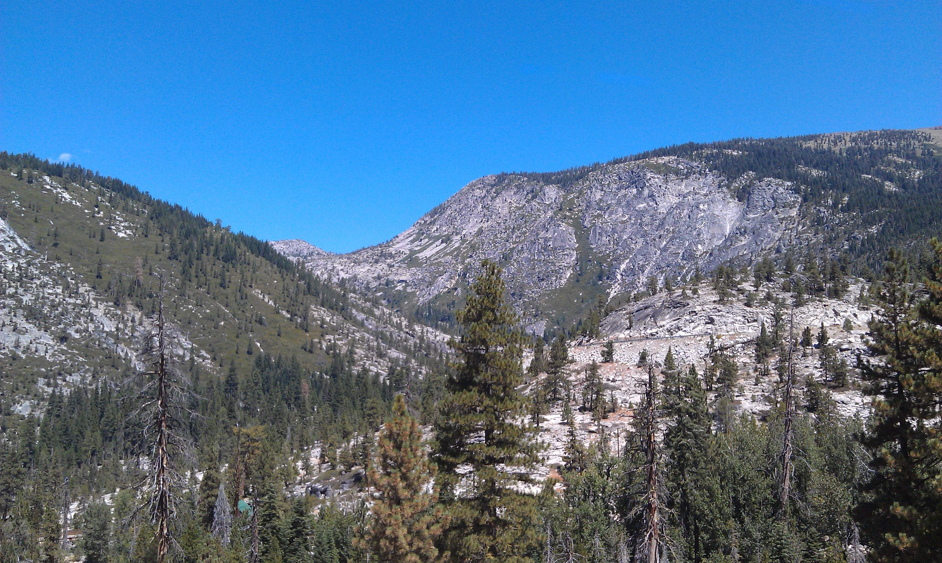
Looking into the Desolation Wilderness
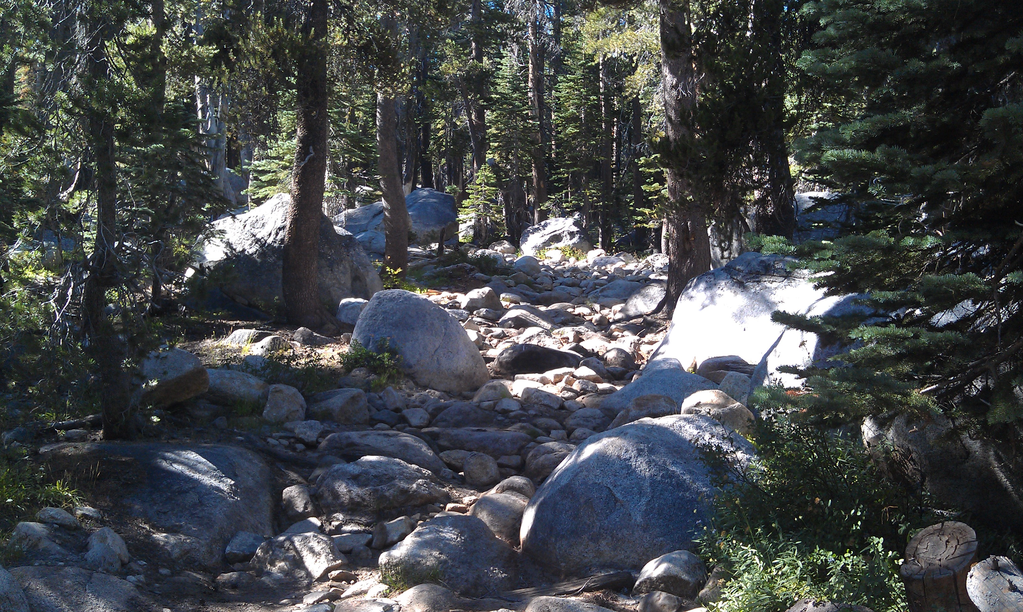
Barrett Lake Jeep trail…. tough riding here!

The rippin’ fun Two Peaks Trail
Bassi Creek on Two Peaks Trail
Day 4
I was awakened by logging trucks going over the bridge spanning the Rubicon River at 4am, WTF, I guess these guys get paid by the load and they are going to get a full days runs in!.
I was off at 6:30 for the long road climb up to French Meadows Lake and then on to the Western States trail for the remainder of the day. My water filter had broken the prior evening so I was in a pickle. I had enough water to make it to the spring just before Hell Hole Rd but I was reluctant to drop the Western States without a filter, I had Iodine tabs with me but really didn’t want to jack my stomach up for the next week. As I made my way up to French Meadows I decided that as long as the pump at Deadwood was working I would be fine, or dead if it was broken
As I dropped down the WS towards the swinging bridge the temp was really beginning to rise, I was starting to think I was a dumbass for thinking this was a good idea. For those of you lucky enough to have done this section from Last Chance to Devils Thumb( or Middle Finger as I like to call it) you know what the deal is…. 1.2 miles and 1,800′ of hike a bike
I made it to the spring at Deadwood in a respectable 58 minutes. Man it was really hot in the exposed sections though, I knew it would be even hotter on the way to Michigan Bluff.
I ate pretty much the remainder of my food at the pump (which was working thank God) and headed off for Michigan Bluff. The WS flowed out as usual, excellent. No one was out on a hot Monday so I had the place to myself (also had to be careful since no one would find the body either!).
At the bridge over El Dorado Creek I dunked my head in the creek and hit the trail. I rode most of this section to my surprise, I was at about 300 miles so far and had figured this would be pretty ugly, 56 minutes later I was sitting in Michigan Bluff . Crap was it hot. I had slurped the last gulp out of my Camelbak coming into town so I blew off the idea of dropping down to Volcano Creek and instead hit the pavement for the slog up to Foresthill Rd.
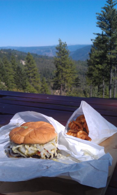
I beat it down Foresthill Rd to Wortons Market and bought the biggest cheeseburger and fries they would sell me. Man was I a stinky mess though, I hit myself up with some AXE body spray before I fouled up the store. The smell of 3 days of B.O. and Axe body spray must have been a sensory overload, although it is Foresthill so……
All in all a great few days, a good time to ponder the road we could have traveled and the road we traveled down. Thanks for reading
<iframe height=’405′ width=’590′ frameborder=’0′ allowtransparency=’true’ scrolling=’no’ src=’http://app.strava.com/runs/22848135/embed/693dc695d6fd18d0ece57667e316acdbe046de8d’></iframe>
Don’t fall left… Western States Trail
Western States Trail
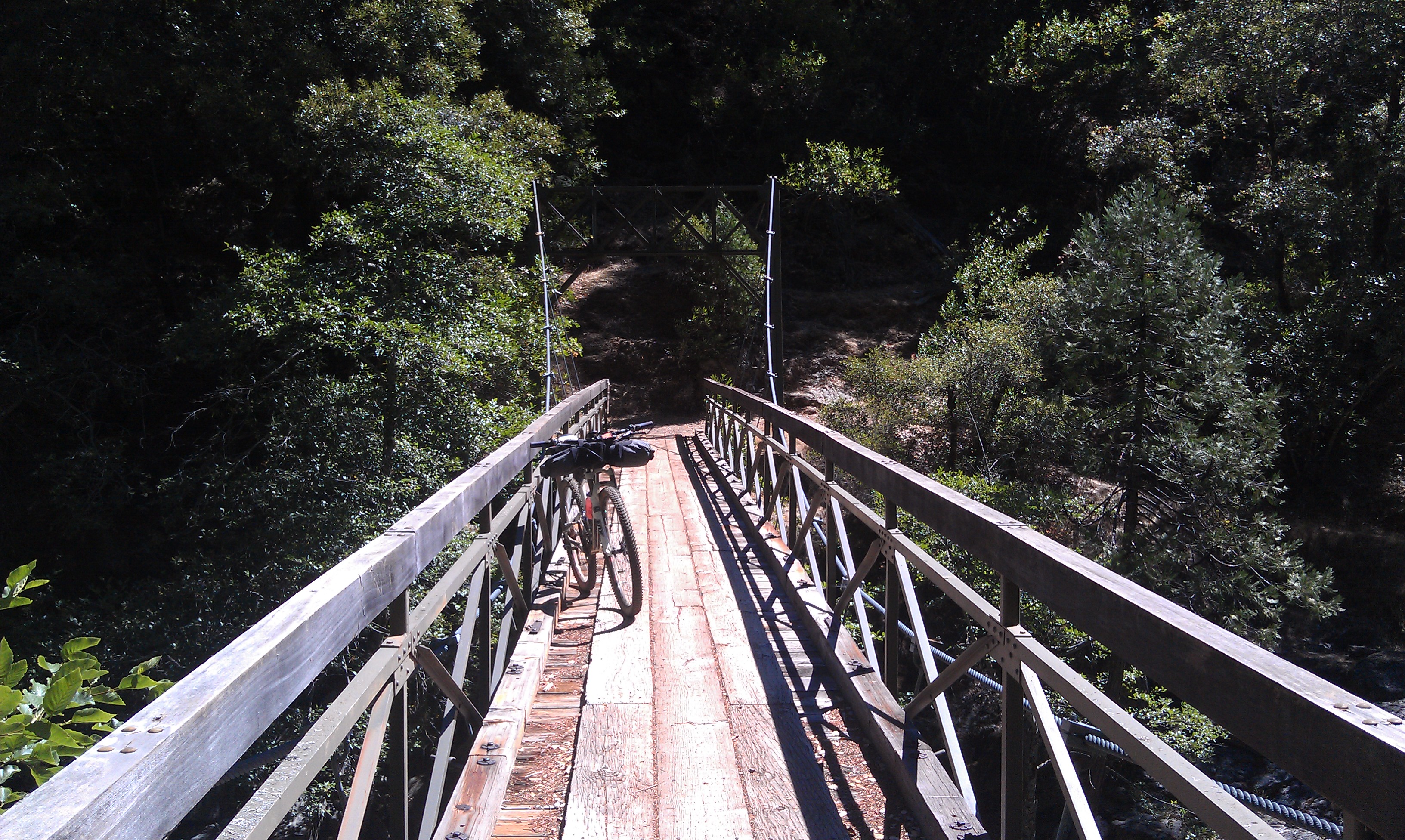
Swinging Bridge on the North Fork of the Middle Fork of the American River, say that 3 times fast…..
The aforementioned river
Western States goodness
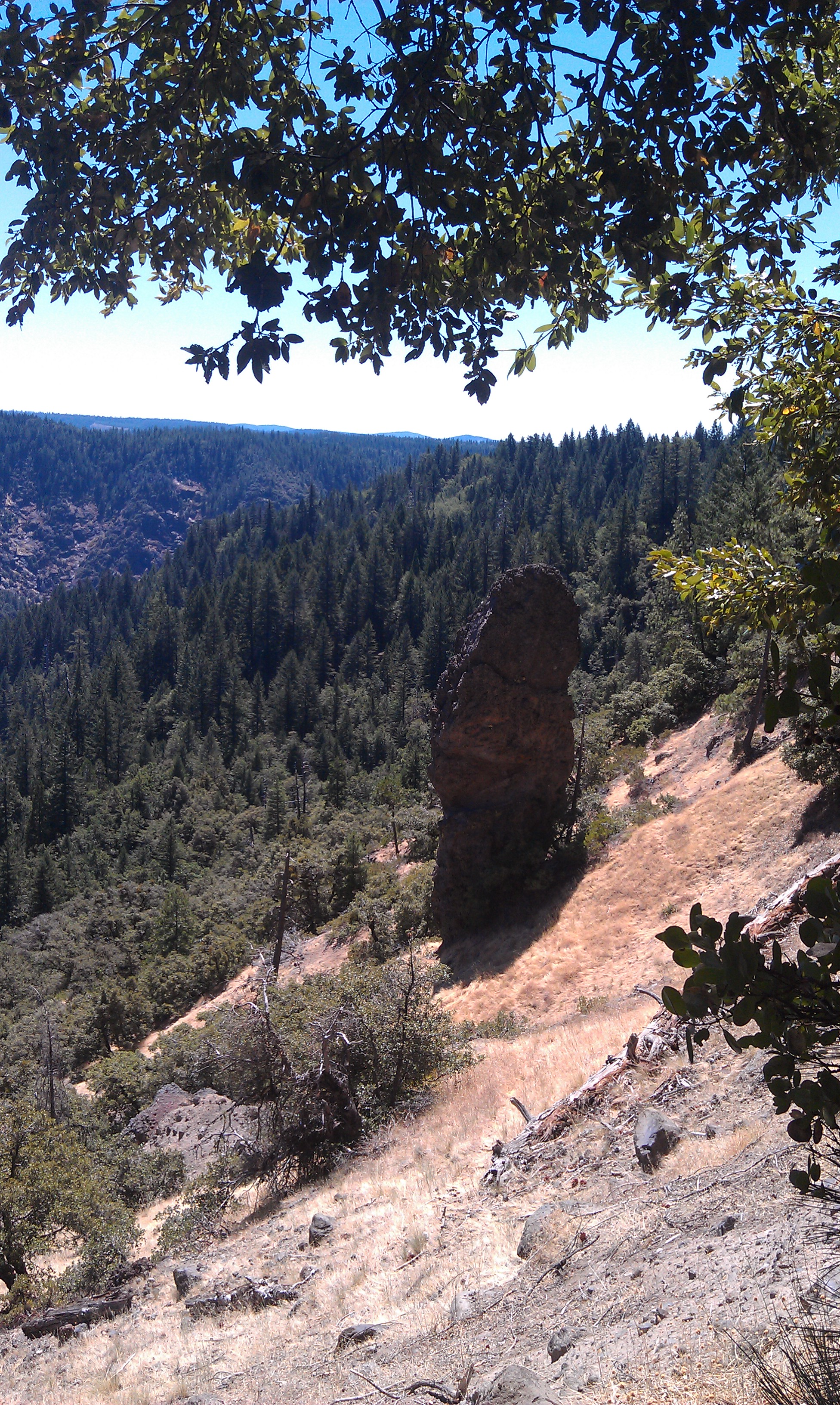
The Devils Thumb
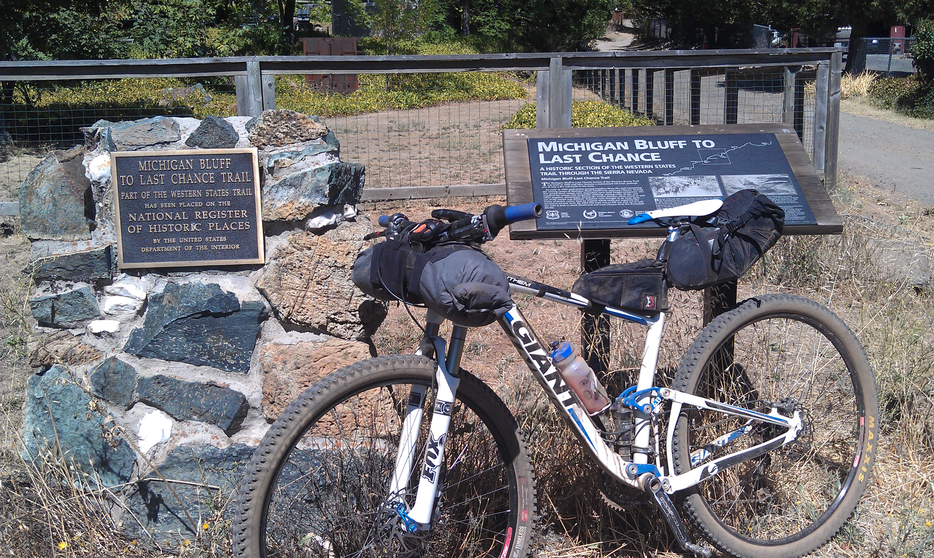
The historic gold rush town of Michigan Bluff
4 miles from home and I couldn’t make it without this….
Man, those trails look tasty. Thanks for the report. Nothing like a few days on the bike to clear the mind.
Thanks Scott, they are very special. No embed for the tracks in WordPress for some reason. For those interested in such things
Day 1 http://connect.garmin.com/activity/213073211
Day 2 http://connect.garmin.com/activity/213073197
Day 3 http://connect.garmin.com/activity/213073171
Day 4 http://connect.garmin.com/activity/213073156
Awesome write up. Nothing like those trails here in Md. Beautiful country. Nothing like a few days on the bike to clear the head, nothing. Nice write up too.
Man what an awesome ride that must have been! Thanks for posting!
Nice ride Sean. It’s amazing what a good dose of dirt and bike can do. Looks like some sweet Sierra goodness!!
Wow, great trip, great story. Thanks for the inspiration.
Nice trip, greetings from germany…
Hell yeah! That looks like a killer loop, getting out on those big, solo missions is so good for the brain. I got to ride Spooner to Christmas valley about 2 months ago, awesome stuff!
Great trip!
I realize this has been posted for a few months but I just read it.
I have hiked a bunch in that area but done very little riding there. Looks like a great loop. And thanks for the Garmin links, they made it much easier to follow your route.
[…] scouted much of the route last summer and posted his report and pictures at this link. More information about the race can be found […]
Very nice post. I just stumbled upon your blog and wanted to say that I have truly enjoyed browsing
your weblog posts. In any case I’ll be subscribing to your rss feed and I am hoping you write again very soon!
I would like to show some appreciation to you for bailing me out of such a predicament. Just after searching throughout the the net and seeing things that were not beneficial, I assumed my life was over. Living without the strategies to the issues you have resolved through the guide is a crucial case, as well as ones which may have adversely damaged my career if I hadn’t encountered the website. Your main talents and kindness in maneuvering all areas was precious. I am not sure what I would’ve done if I hadn’t come upon such a stuff like this. I am able to now look forward to my future. Thanks for your time so much for this impressive and effective help. I won’t hesitate to endorse the blog to any individual who needs to have guidelines on this subject.
That is awesome.
Very impressive ride. I have done several of the sections as day rides and I can tell you those are not easy trails. I was wondering about pushing a higher line across from Wrights Lake to Loon Lake, closer to the wilderness boundary. Any thoughts? I thought North to South…