Eastern USA, Trip Reports » USA-ECD-PA; Eastern Continental Divide Triple Point South to Mason-Dixon Line
The Eastern Continental Divide:
Triple Point to Mason-Dixon Line
(The Pennsylvania Segment)
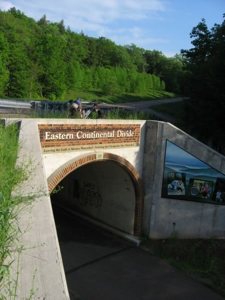
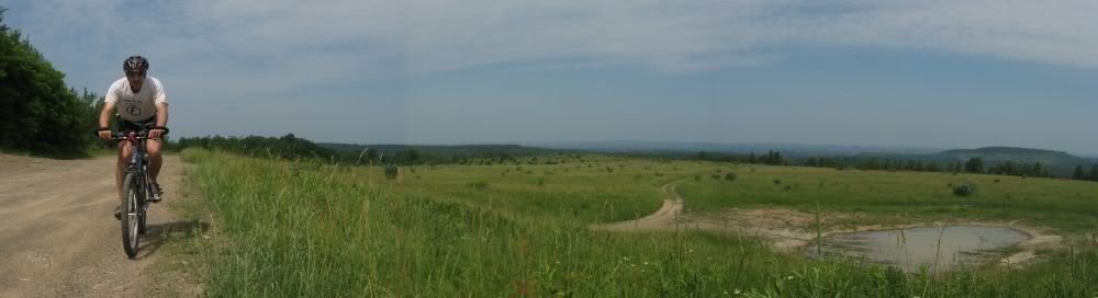
The ECD route passes over the Great Allegheny Passage Rail Trail
Summary
A route tracing Eastern Continental Divide (ECD) through Pennsylvania has been created. The
objective was to adhere to the actual divide as closely as feasible. This report is a collection of field
checking trips confirming a route conducted during the spring/summer of 2011.
Map
A Google Map is available here. Mapped are the divide, the route (color coded by road/trail surface type) as well as numerous photos. The map is very cluttered with the photos, turn them off to see better detail of the location of the route and the actual divide.
GPX File
A GPX file is in this Google Drive Folder
There is also a brief readme file in the Google Drive Folder
Statistics
|
State |
Total [miles] |
Paved |
Dirt |
Double Track |
Single Track |
Bushwhack |
|
PA |
270.53 |
183 |
65.22 |
20.15 |
1.71 |
0.45 |
The Route
The northern terminus of the route is the eastern Triple Point sign, which is a bit NE of the actual triple point.
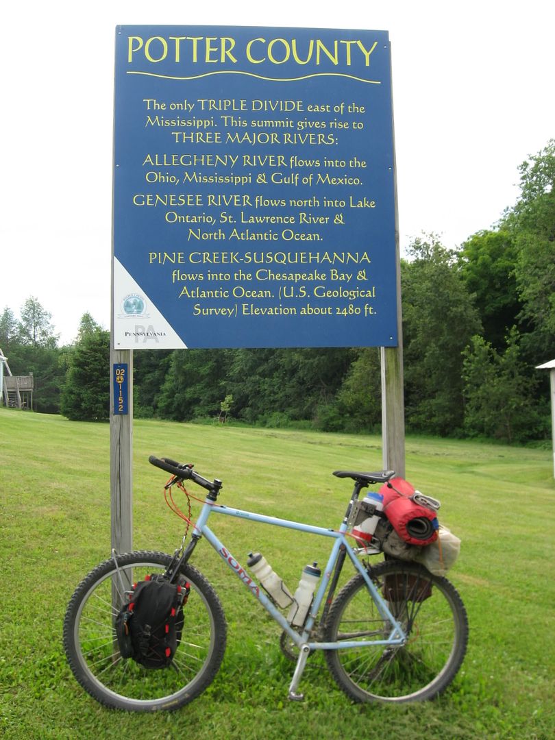
Triple Point Sign
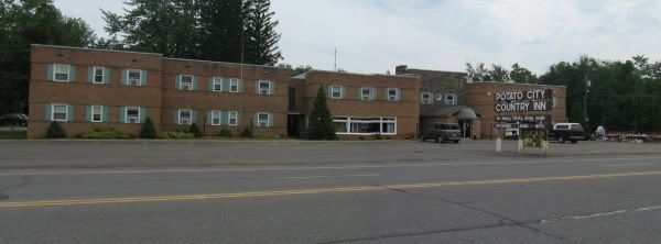
There is hotel about 7 miles SE of the Triple Point:
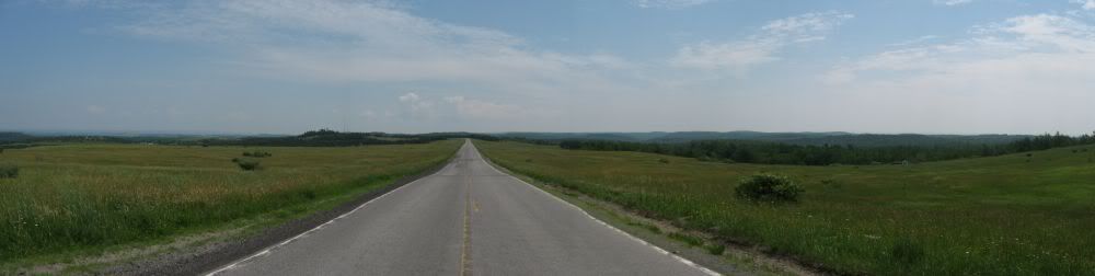
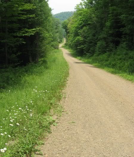
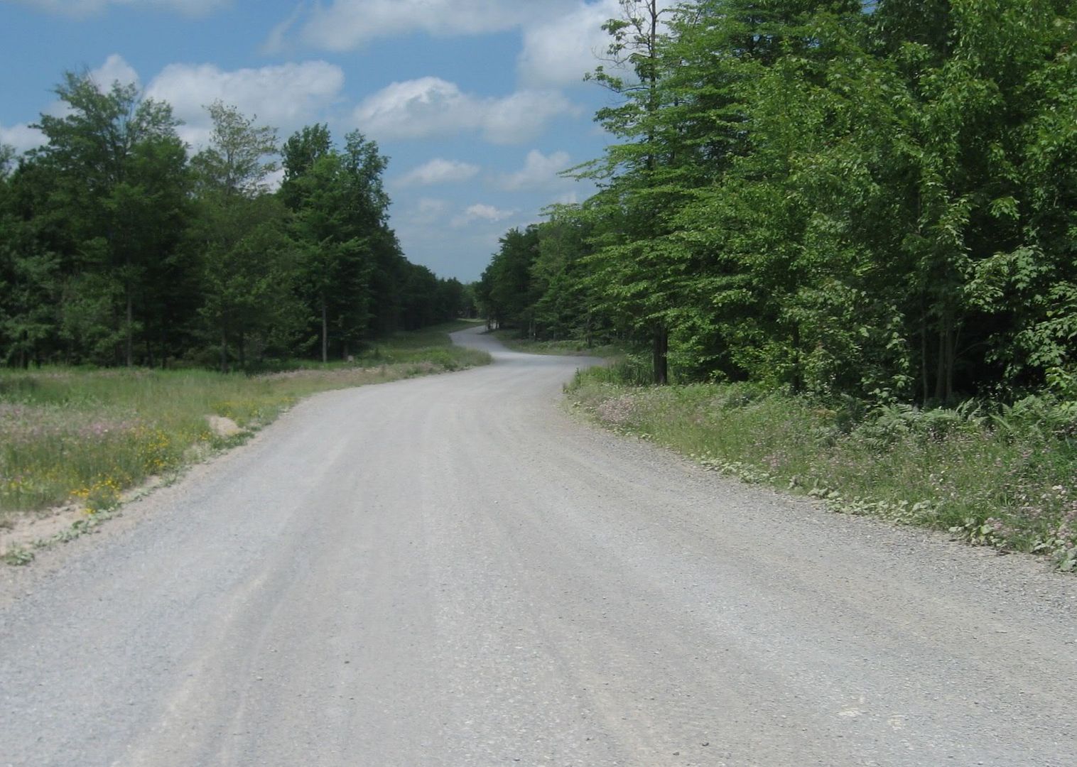
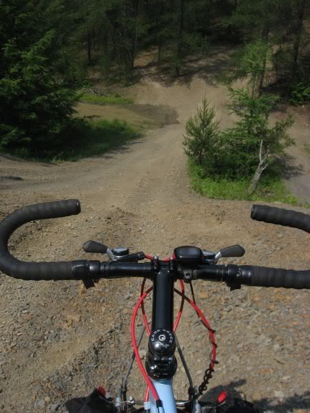
The route ended up being predominately-paved roads. There is more pavement than initially expected. The ECD skirts between and around some of the major blocks of public land in PA, limiting the amout of dirt road. It seems that rural, dirt roads are evaporating in PA. 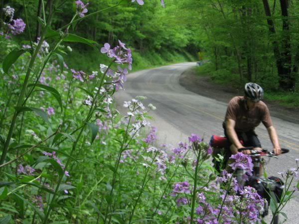

To add a little frustration, a bushwhack segment is included:
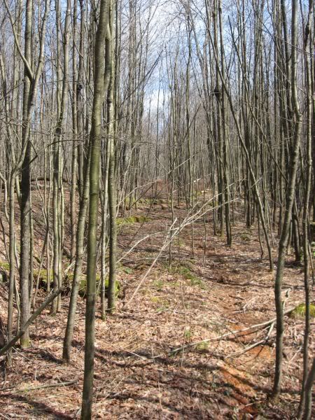
A faint trail/bush whack that becomes more so
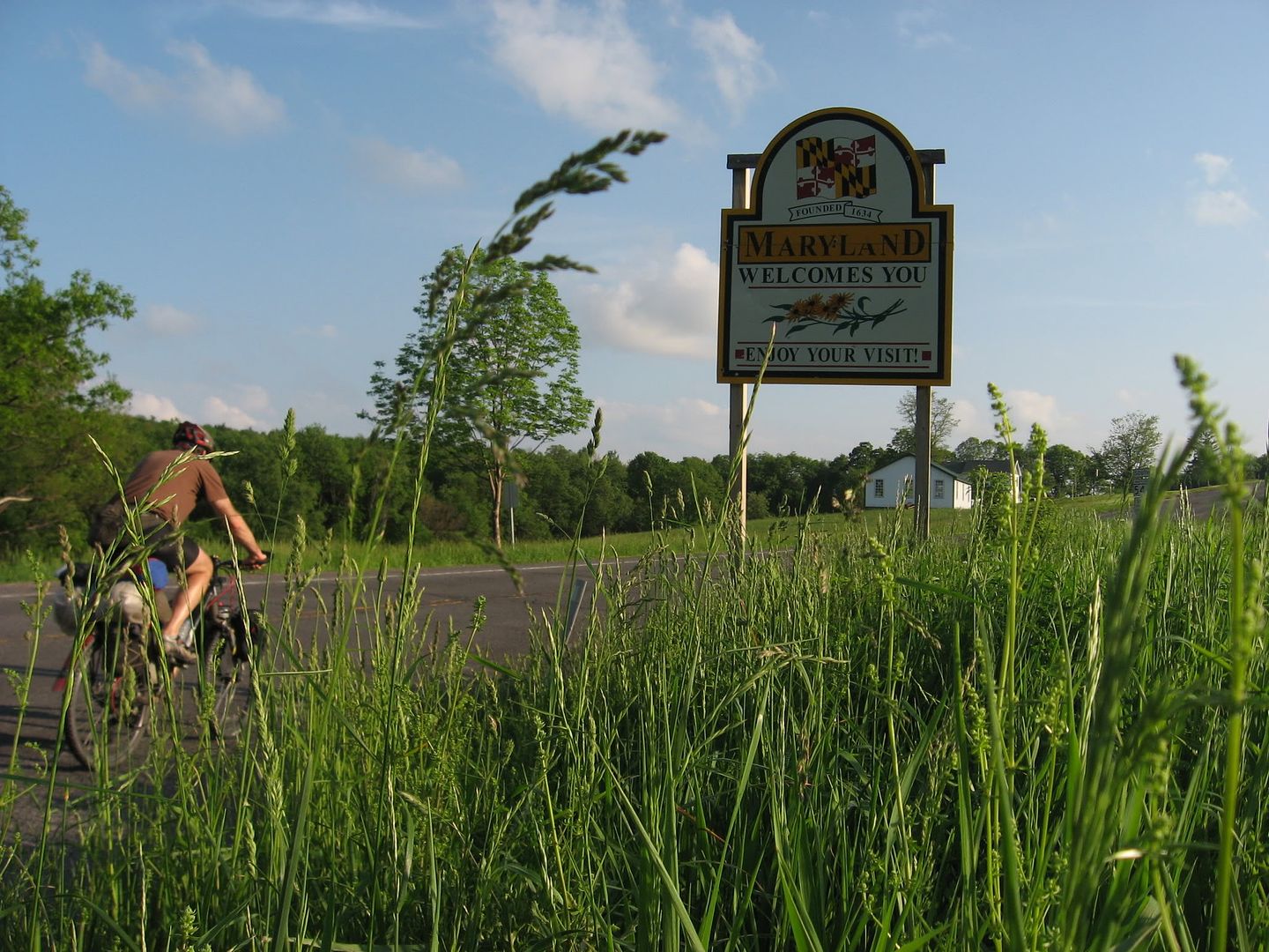
The Mason-Dixon Line and Maryland
There are limited services directly along the route, but numerous small towns along the way offer various services.
Historical Sites Along Route
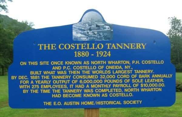
There are numerous historical points in the proximity of the route. Near the triple point is the PA
Lumber Museum. Much of the PA forest system was purchased from lumber companies that had clear-cut the land in the 1800s and early 1900s.
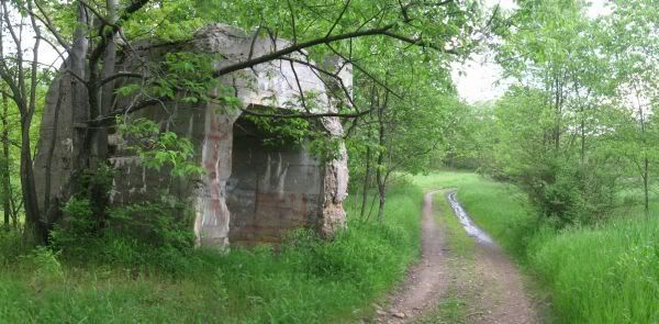
The route also crosses the PA Mainline canal/portage railroad. PA built a canal system to compete with NY canal system in the mid 1800s. One obstacle was building a canal up and over the Allegheny
Front, crossing the ECD and descending down the mountain to get the boats back in the water to continue their journey to Pittsburgh. The canal was built up to the base of the mountains, from the base of the mountains, a rail system was used to winch the modular canal boats up and over the mountains. More here.
The canal didn’t have a long lifespan; it was displaced by the railroads. The Pennsylvania Railroad built the Horseshoe Curve to negotiate the Allegheny Front. The ECD route parallels a section of the Pennsylvania Railroad Mainline from Cresson to Portage.
Ironically, a dam used in the canal system would be refurbished and used as a lake for a summer retreat for the tycoons of late 19th century. Epic rains would cause the dam to burst and cause the Johnstown Flood of 1889. Over 2,000 lives were lost in the flood.
Impressions
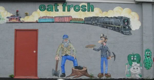
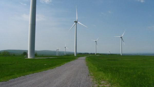
Energy is a theme that is prevalent along the route. Coal, natural gas and wind power, evidence of these activities stretch up and down the route.
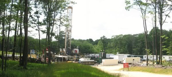
Gas driller traffic causes high use of gravel roads
A non-energy related industry:
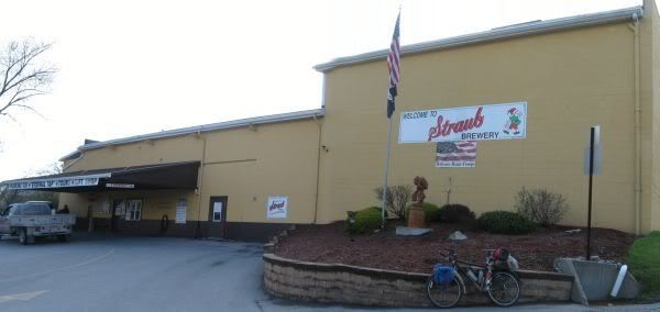
Route passes by an opportunity for free beer at the Straub Brewery
The Back Story
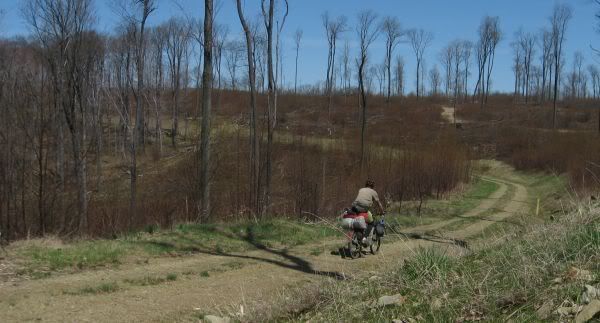
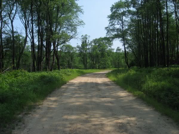
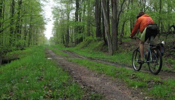
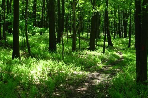
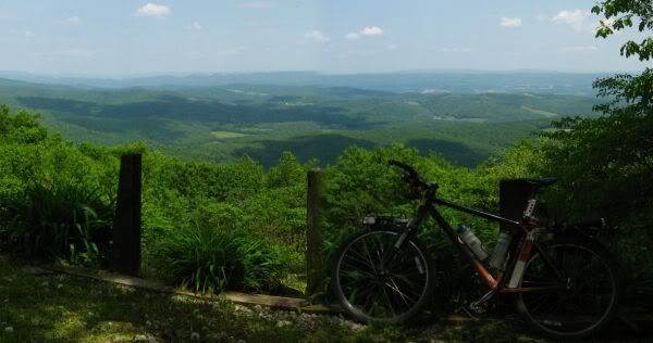
The route was ridden as number weekend and day trips… leading to many loops being ridden to avoid backtracking. Some photos from the recon rides:
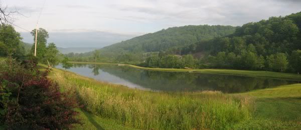
A pond
I expected more stuff
like this along the route–a raw, unreclaimed strip mine, but over the
years the sins of prior mining have be reversed.
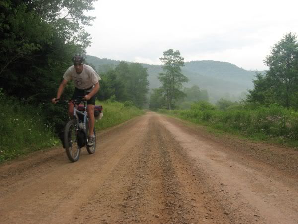
AM fog
Further recon has been done on the ECD. MD has been ridden, and WV started. It will take a while to ride WV and then after that, who knows, VA and points south are a little out my typical range.
JHL99
Great trip report and pics. Dirt roads are going to be harder to find out here in the East than elsewhere. WV and VA may be promising, NC may contain significant single track depending on how closely the route adheres to the ECD, and then in GA the ECD goes straight through ATL so certainly limited there. I look forward to more reports on this route as a NC rider.
I have found references to the Benton McKaye Trail in TN/NC/GA that hikers use, which would be a decent start in recon for that section. The same could be said of the Florida Trail, and likely a good amount of gravel. Georgia seems to be wide open for the picking as well, not much in reference to the ECD there aside from driving it.
You have included a wealth of information about this devide, thanks for posting! I am actually close enough to try this out -from tiny R.I.
Matt-
I agree WV and VA should have the goods. The route I have planned through WV starts off on the right path… it goes through Davis, which is a mecca for the East coast mountain biker.
I put a simplified map of the ECD in this post (see reply #6):
http://www.bikepacking.net/forum/index.php/topic,2163.0.html
I haven’t looked closely at NC… although there is some guy who posted up waypoints the ECD through NC which I believe are incorrect… he goes too far west into the wrong watershed divide in northern NC.
Rocketee-
You could think about riding the divided between the Great Lakes/Atlantic to get to the triple point!
**
If anyone is insterested in scouting parts of the ECD, I can offer up what limited info I have collected. It would be interesting to find out if the route would be interesting enough to fully document or not…
I have been stitching together route options for sections in Ga, SC and Southwestern North Carolina. It is basically the trans North Ga Route connected to a segment I call the SC Connector connected to another segment called the Pisgah Traverse.
The SC connector is all paved because there are no unpaved public roads to use. It highlights some of the most scenic terrain in the Upstate.
The Pisgah Traverse brings in single track, gravel and more beautiful terrain.
The total distance: Pisgah Traverse + SC Connector + Trans N Ga is 620 miles.
There is more work to be done on the Pisgah GPX track. The section around Old Fort on the “Old Toll Road” needs to be verified. I have not identified services, although they are abundant in the Pisgah and SC sections.
Any and all input is welcome. Putting this route together will be a labor of love by like minded volunteers. A GPX track of the route can be found on RidewithGPS.com at: http://ridewithgps.com/routes/700184
This is a fantastic album. Eventually it should be easier to do an off-road trip over the Triple Divide site where you started by way of a developing Triple Divide Greenway from Lake Ontario in Rochester, NY, to the Susquehanna River in Williamsport, PA (and from there by way of the growing Susquehanna Greenway to the Chesapeake Bay). See the Triple Divide Trail System Strategic Plan (PDF file) on the Genesee River Wilds website at http://www.geneseeriverwilds.org/wp/?page_id=417 . Thanks for taking the time to make a record of your trip available to others. Hope the work of our own group can protect the natural beauty witnessed on your trip so that future generations can enjoy a similar experience.
There are also a number of additions that can go into a grilled cheese sandwich, like ham, tomato, herbs and spices, or sauces like ketchup or mustard. Some of these will go between the slices of bread before the grilling takes place, and some are sprinkled on the top or used as a dip. Many Canadians enjoy dipping their sandwiches in ketchup or applesauce, while people in the United States tend to prefer their sandwiches with tomato soup or French fries on the side.-
Our internet page
<http://www.beautyfashiondigest.com/best-volumizing-shampoo/
The KML map link is bad. Do you happen to have an updated file?
Few years old post but hoping someone still checks this. The Google Maps link is broken, and following the discussion over to DustyTrails (http://www.bikepacking.net/forum/routes/dusty-trails-gps-project/) I don’t really see a link to the PA section there, either. Wondering if the author or anyone on this thread happens to have a GPS/KPX/etc for this PA ride?
Thanks!
Keanan:
I updated the Google Map link and added a section to link to Google Drive folder with a GPX file.
https://www.google.com/maps/d/edit?mid=1HaONZgncoSPbSZqIpLwgxRiRFAI&usp=sharing and https://drive.google.com/drive/folders/1zNXJwgocoIBK3qDJEv5dMaRO2aKh9Bsk?usp=sharing
(these links should also be in the body of the post).
I had to check that to ‘dusty-trails-gps-project’…. boy, that was a while ago and I haven’t done much work on it since, except switching to completely different mapping software.
Not sure what your need or intent is, but I remember that someone or a group started a website and it seemed they where going to make a bikepack route for the east coast, don’t recall the link, the effort probably fizzled out.
JHL99 10/11/2020