Desert Southwest (CO,AZ,UT,NM), Trip Reports » Cathedral Valley, Capital Reef NP
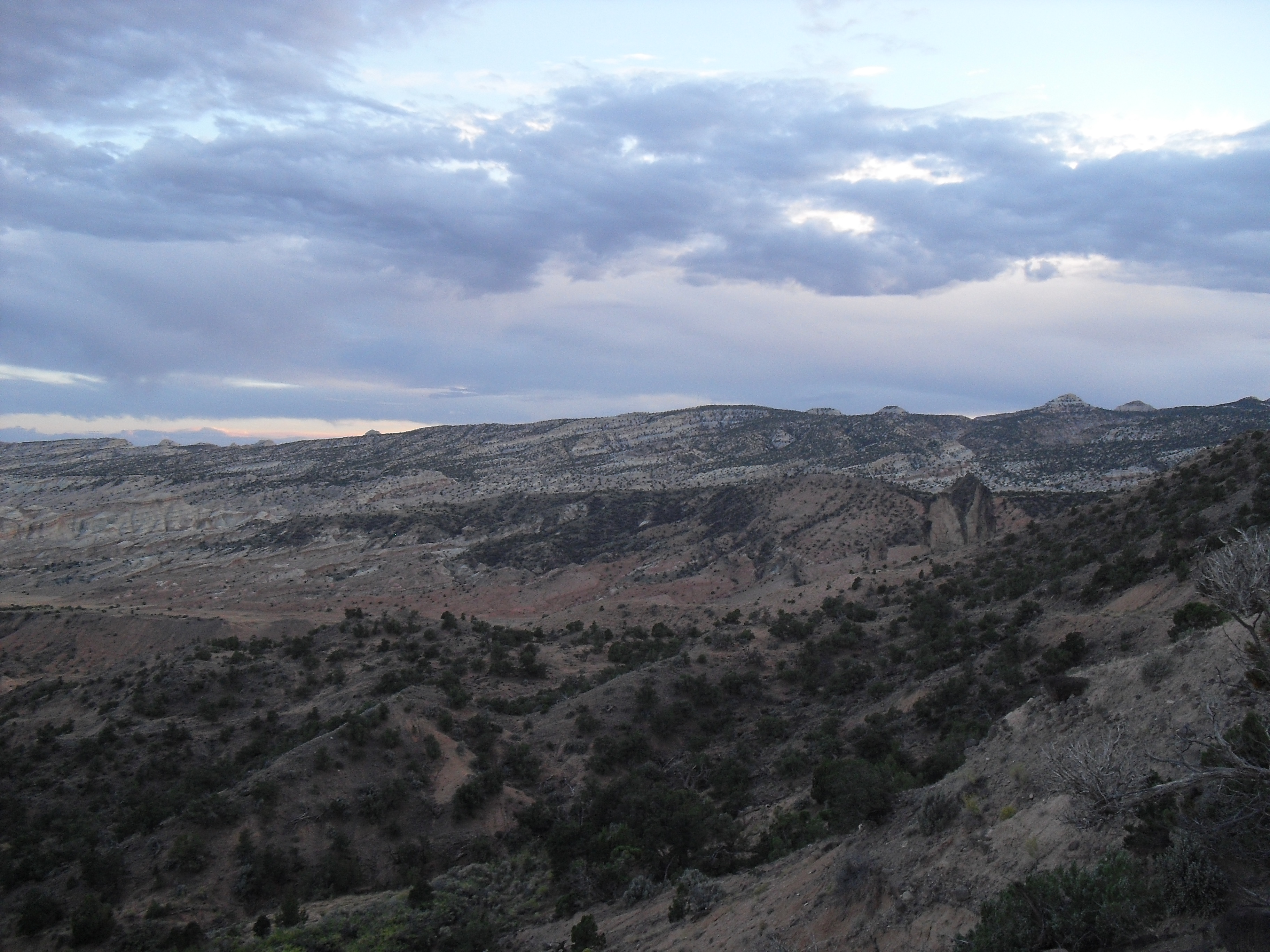
Cathedral Valley is a good one nighter on a remote 60 mile dirt road. I did this route clockwise in October. I appreciated some tunes on a few of the flats and wished I brought more than iodine tablets to get clean water from the very organic troughs. In fall the river was bikeable even with touring gear. I’ll list the waypoints for the water sources below because they are only on the west side and are few. The only place to camp legally is at a campground halfway around. Leave the last water source (I recommend going clockwise for this reason) with enough water for dinner, breakfast, and the last part of the ride. So if white rim is booked up, lose the crowds and take this 2 day cruiser with some amazing scenery. There is probably longer options with one of the several turnoffs along the way.
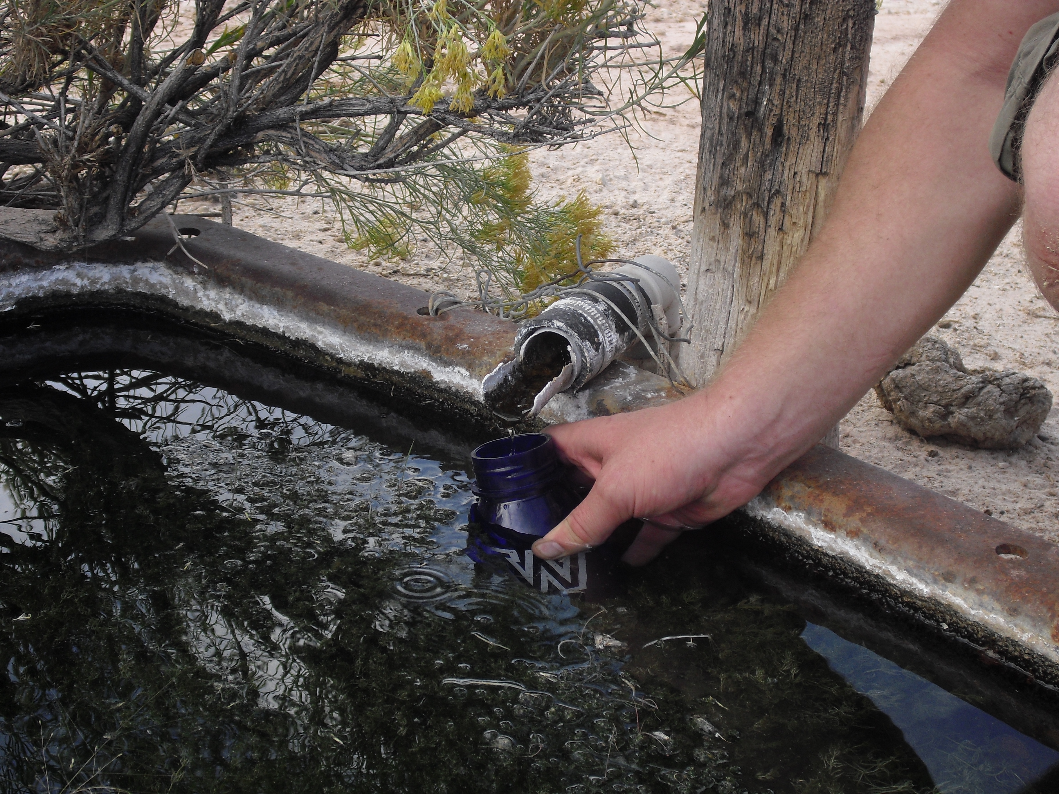
All of the water trough look like this, bring a filter!
Set GPS to Nad 27 datum – UTM
12 s 0489622 e 4243220 – first spring, only needed if you started out low.
12 s 0478990 e 4255147 – this is before the final climb to camp, consider this as last fill up point.
12 s 0469023 e 4258106 – there is a trough here, it was dry in October so use at your own risk.
Very nice! No water at White Rim CG, then?
Kurt, there isn’t any water at any of the White Rim campgrounds or anywhere on the White Rim trail. I can usually beg some water from one of the many people that are driving sag for White Rimmers if I’m doing it in a one day slog. Stay away from trying to beg water from famous Maggie of famous Magpie Tours. She will leave you to wilt in the desert and try to inflict her desert morals upon your otherwise enjoyable tour!
We’re doing the Cathedral Valley loop, so thank you for the report! I do have a question about water, the most important part of the trip. The above GPS coordinates put the “last reliable” trough at about 17 miles north of the ford crossing. Several other reports I’ve read indicate that this is actually about 20 miles north of the ford crossing, and is called Ackland Spring, next to an old truck. One other source (a book) gives the same GPS coordinates as yours. Looking at the aerials, I can’t see anything promising at either location. Question – did you take the GPS coordinates yourself or copy them from a book (Backcountry Adventures Utah)? I’m also going to call the rangers before we head in on our trip.
PS. If anyone else would like to do this tour with us, we are doing it the first weekend in November 2013. Follow the website linked from my name to the SLC bikepacking meetup group.