Day 3
First up was more miles of pavement to get to Rodeo NM which has a possible food/resupply option. As I discovered there is also a pair of porta potties conveniently located at the intersection of Hwy 80 and Stateline Rd, complete with a hand wash station that an enterprising bikepacker could filter water from if needed.
Unfortunately the resupply option in Rodeo was kind of a bust. Breakfast food at the cafe smelled great but I just wanted a few snacks. And that is literally all they had - one type of gummies and one type of cookies. And some water bottles in a cooler.

I opted to continue on pavement rather than cross back to dirt Stateline road so I could ride past the Sky Islands Grill & Grocery (not open yet for the day, but looks promising for resupply). Also noted the Chiricahua Museum advertises drinks and snacks but also has limited hours.
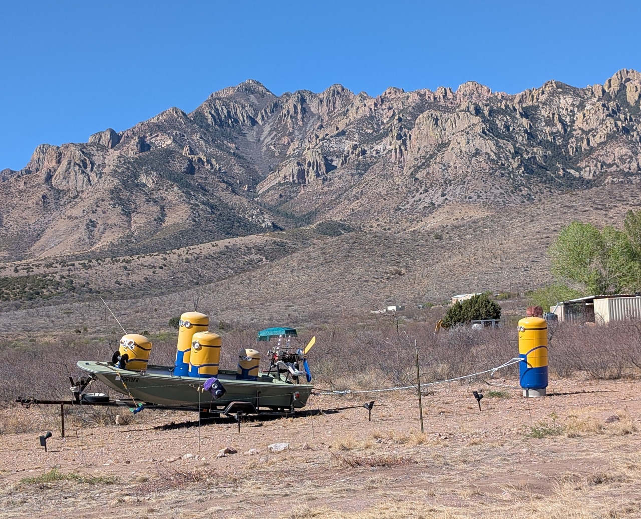
Passed some minions out recreating in a field. It was all uphill to Portal but a pretty easy climb. And the scenery kept getting better and better.
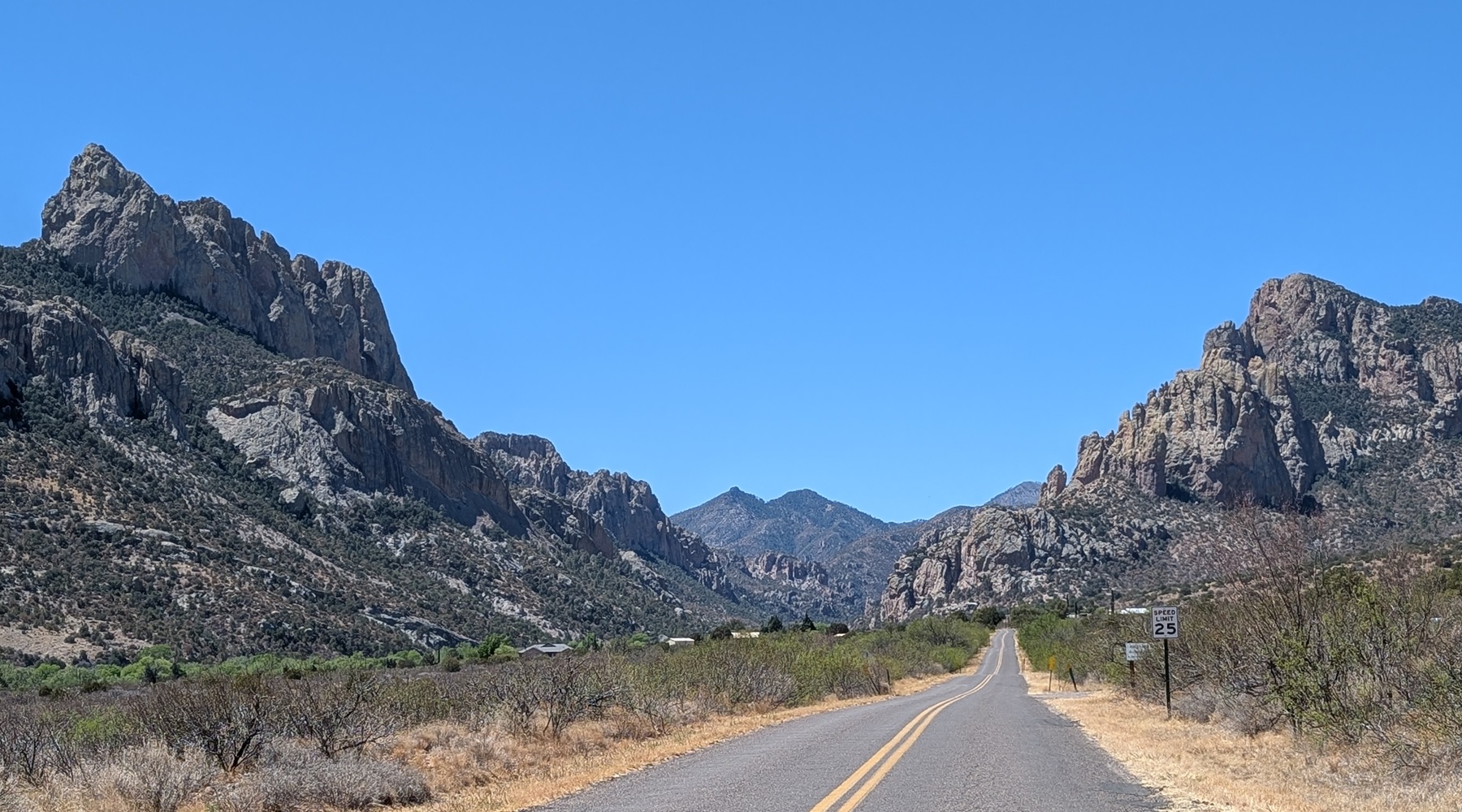
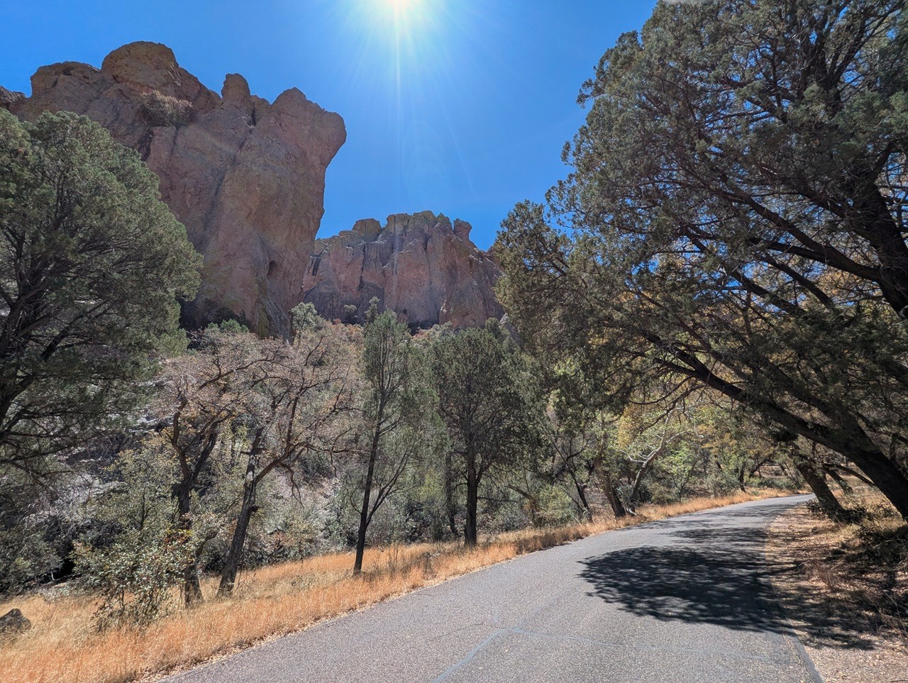
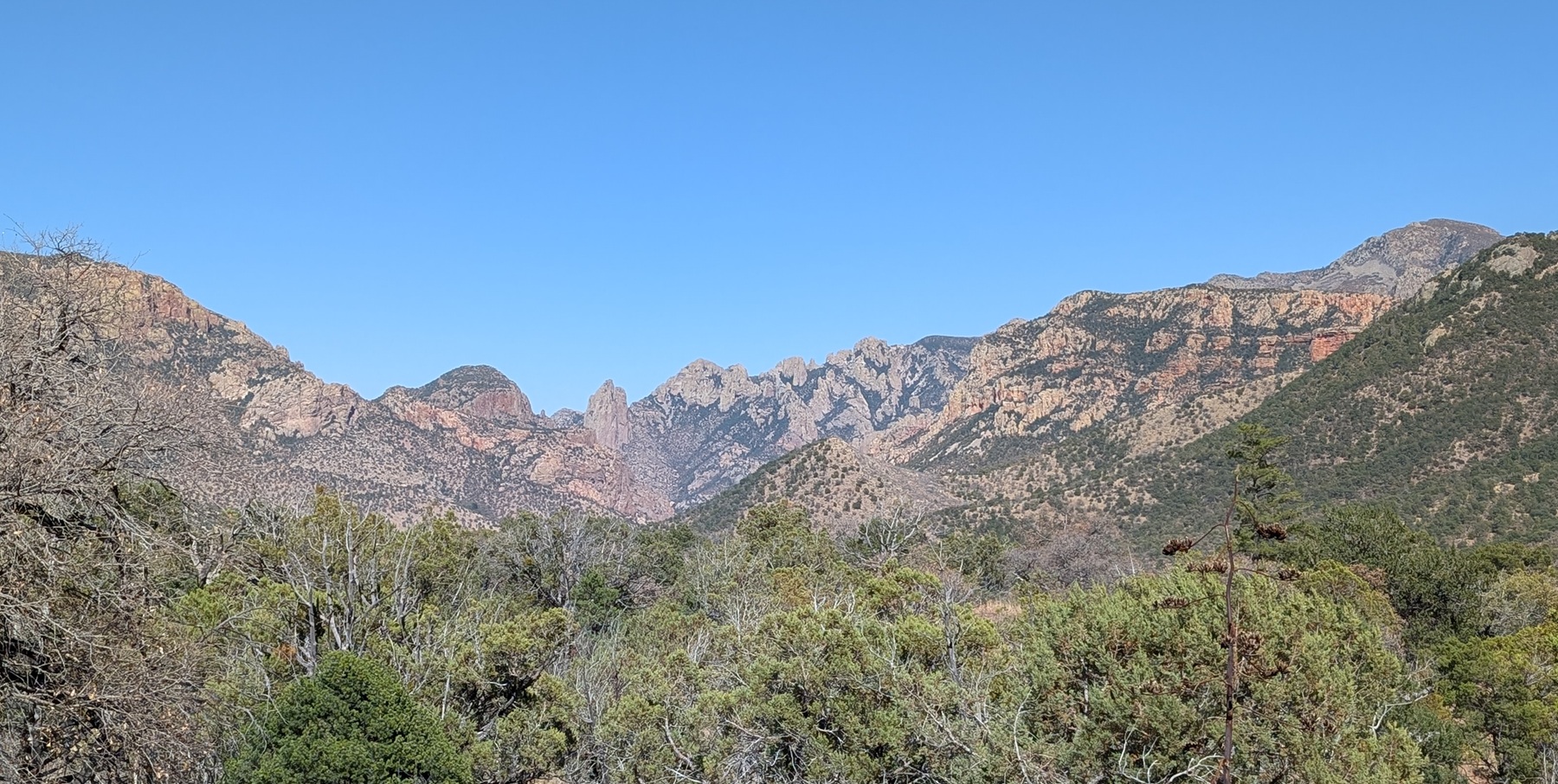
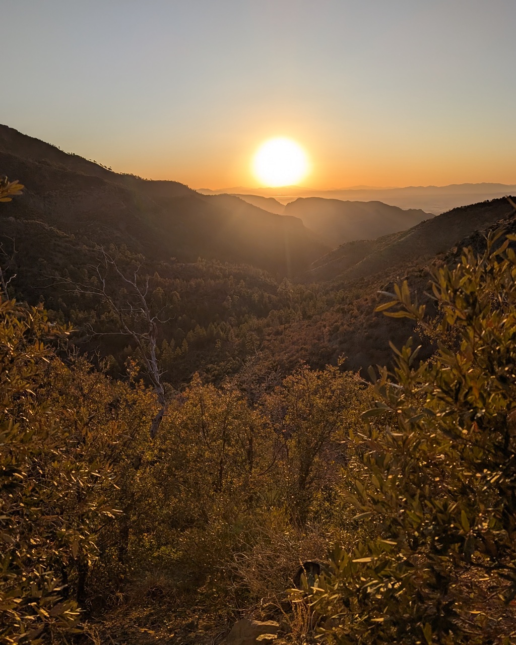
They call Cave Creek Canyon the Yosemite of Arizona. And it is pretty stunning. This pic definitely doesn't do it justice.
The Portal Cafe was my planned breakfast stop. Only problem, I was 45 min early. And not due to the NM-AZ time change like everyone else. I was just faster up the hill than expected. It's not often that happens.
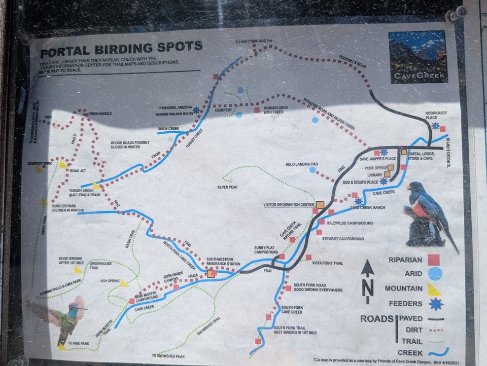
No problem, there were lots of people stopping in to chat with. The Chiricahuas are a major birding location and the bird watchers were out in full force even mid week. Got a breakfast burrito and then some snacks for the trail.
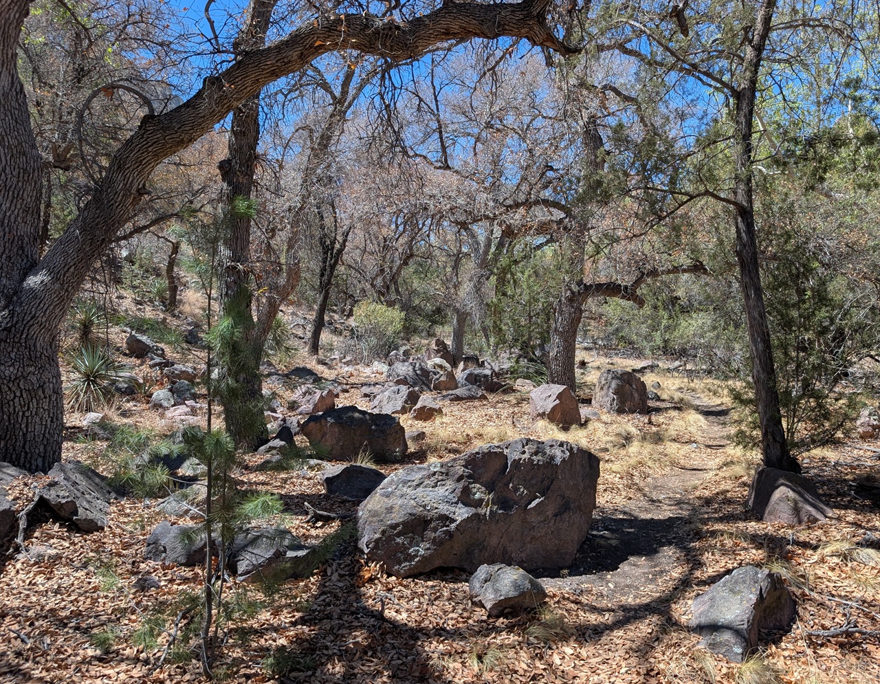
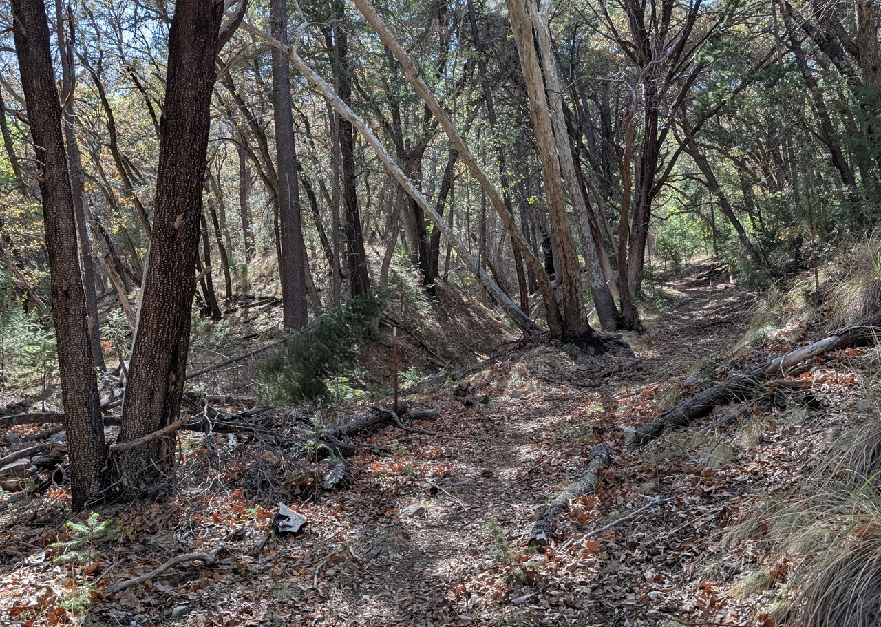
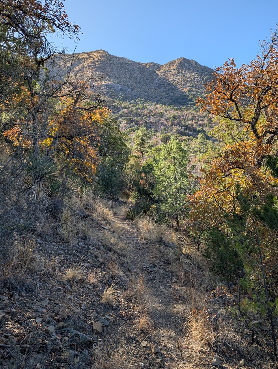
Found a bit of dirt on the way into Cave Creek canyon.
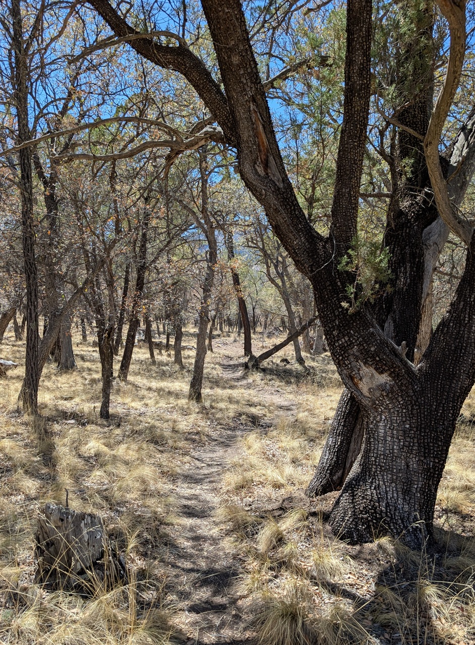
And even a bit of singletrack
I picked up the Cave Creek nature trail just past the visitor center. It was a nice pedal, gently climbing.
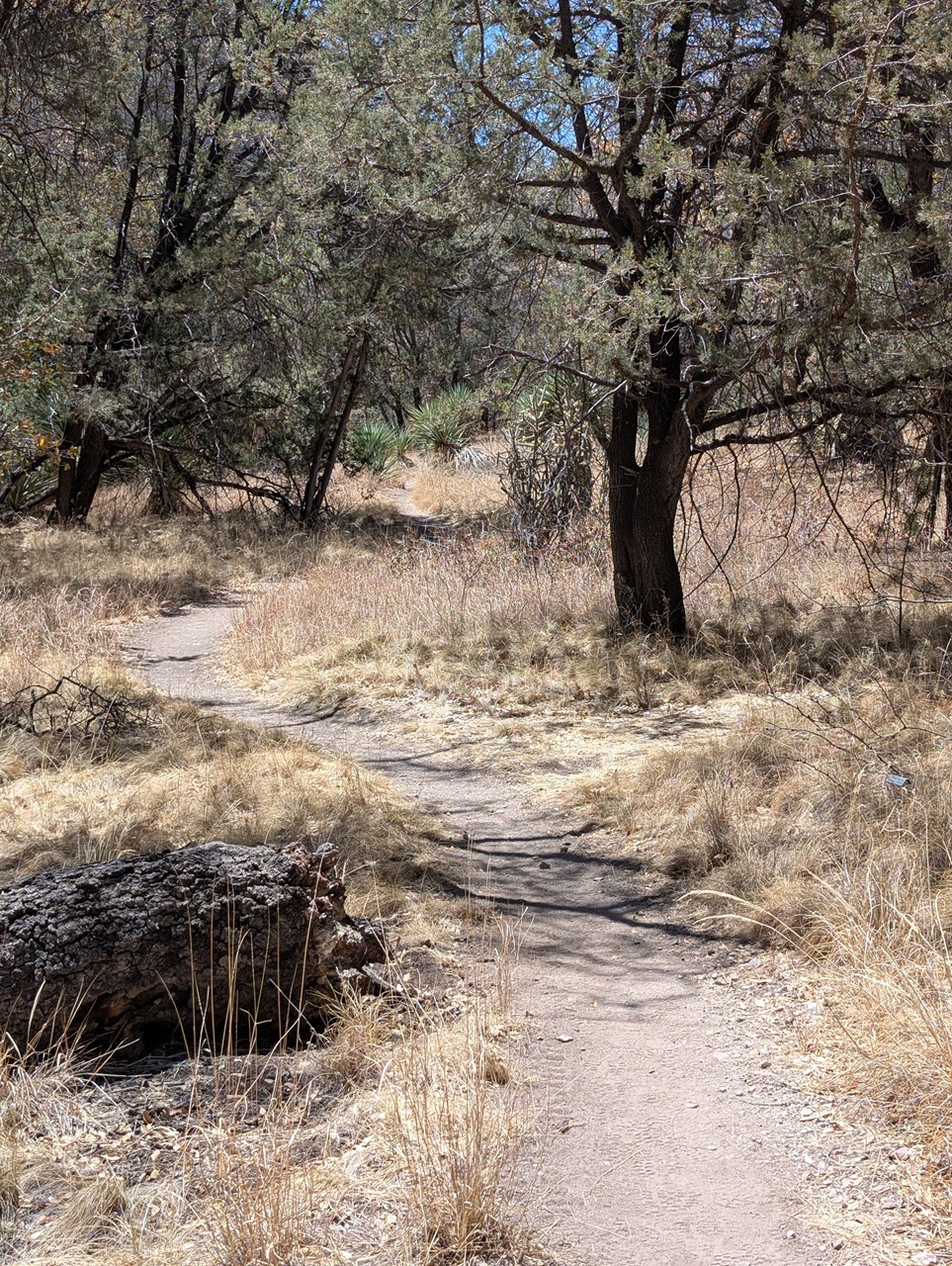
And had some rocky wash crossings and rock formations further along.
It was empty...
Back on pavement but not complaining as the ride up canyon was scenic with quite a bit of shade. Much of the canyon floor is private property with no alternate to the paved road.
hehe
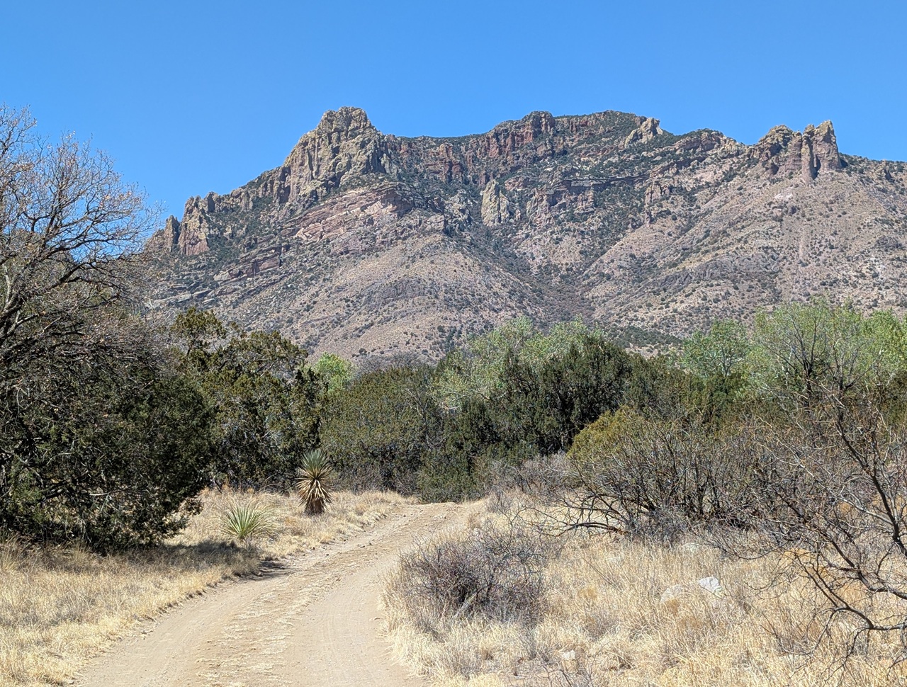
Just before the road turns to dirt near the Southwest Research station I turned onto the Snowshed Trail. ScottM had visited recently and given me intel that this and a few other trails were good to go. I would have checked them out regardless but it was nice knowing what to expect. Thanks Scott! Snowshed had a tough climb to begin with then got pretty nice. I was told later it had been logged out last year.
Snowshed Trail connected to Snowshed Basin trail which climbed up to the Herb Martyr Campground before continuing into the Chiricahua Wilderness. Right at the boundary was my turnoff to the campground.
Some people collect trinkets. I collect pics of my bike in front of Wilderness boundary signs.

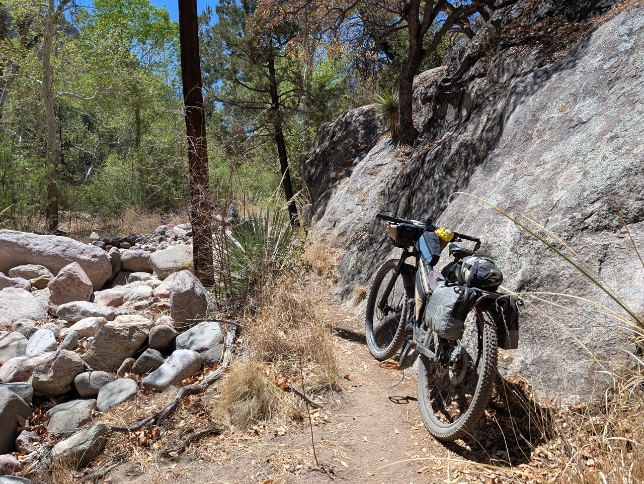
Cave Creek had flowing water up this high so I stopped to filter and have some snacks. Then I picked up the Ash Spring Trail which climbs up to the west from the campground, connecting to the Basin Trail near its mid way point. Basin starts near the Wilderness boundary sign and goes into Wilderness, but Ash Creek offers access to the rest of the Basin Trail outside the boundary. Perfect.
Ash Sprint started off rocky and exposed to the sun but soon entered a nice forest canopy. As the name suggests there was a spring with water at the intersection with Basin Trail. Not nice water, but water. Filter from Cave Creek instead if you're in need.
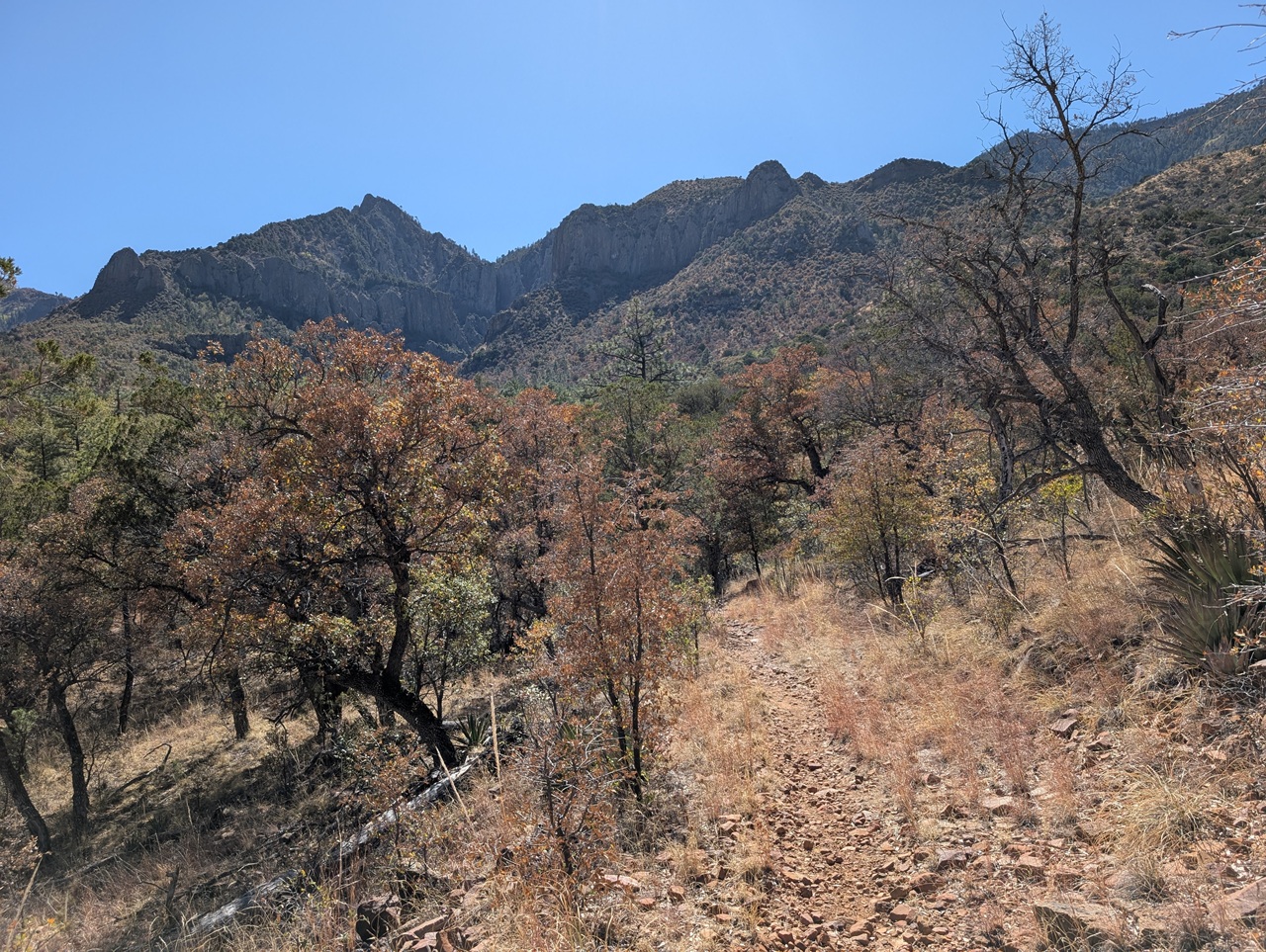
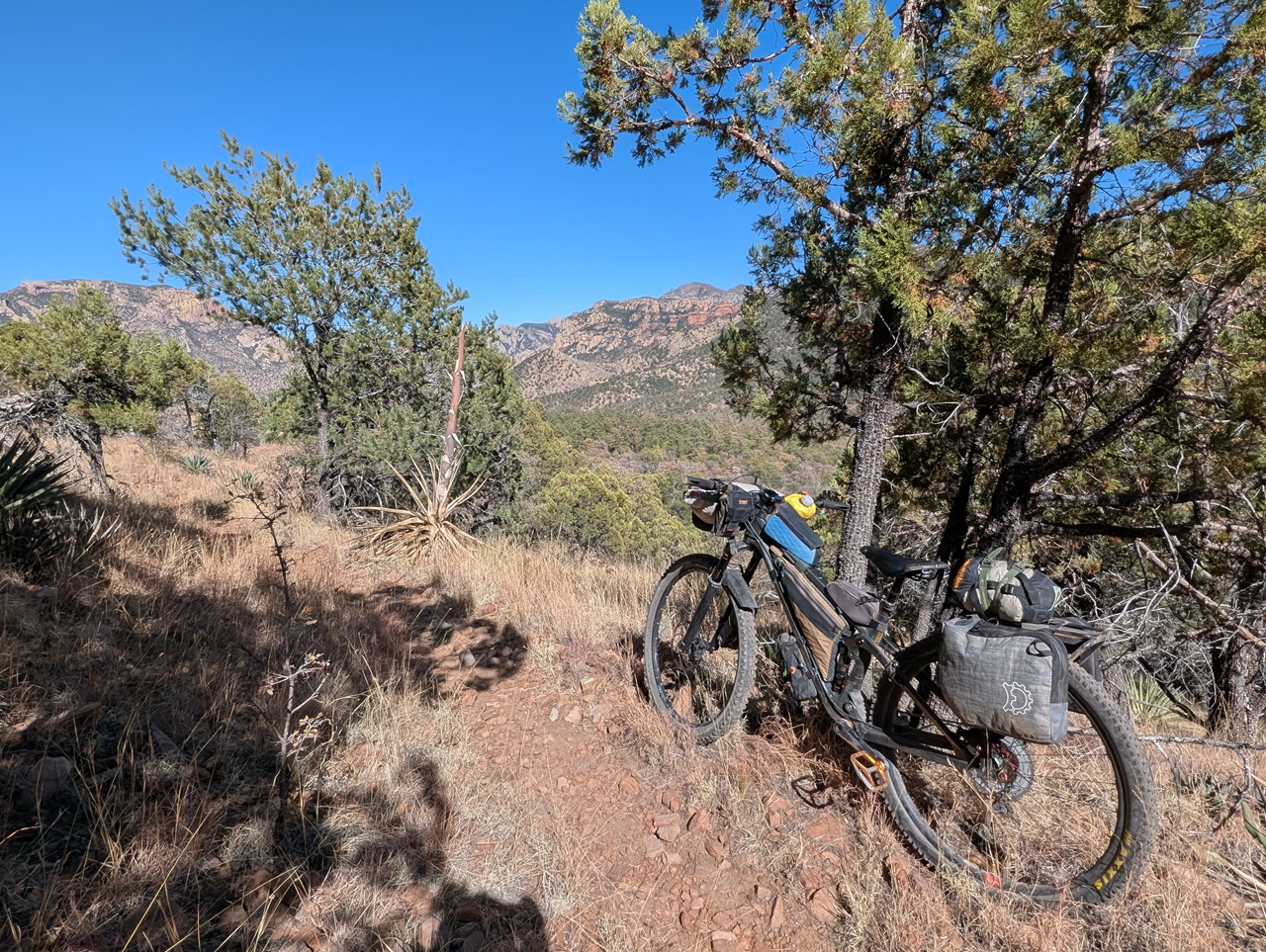
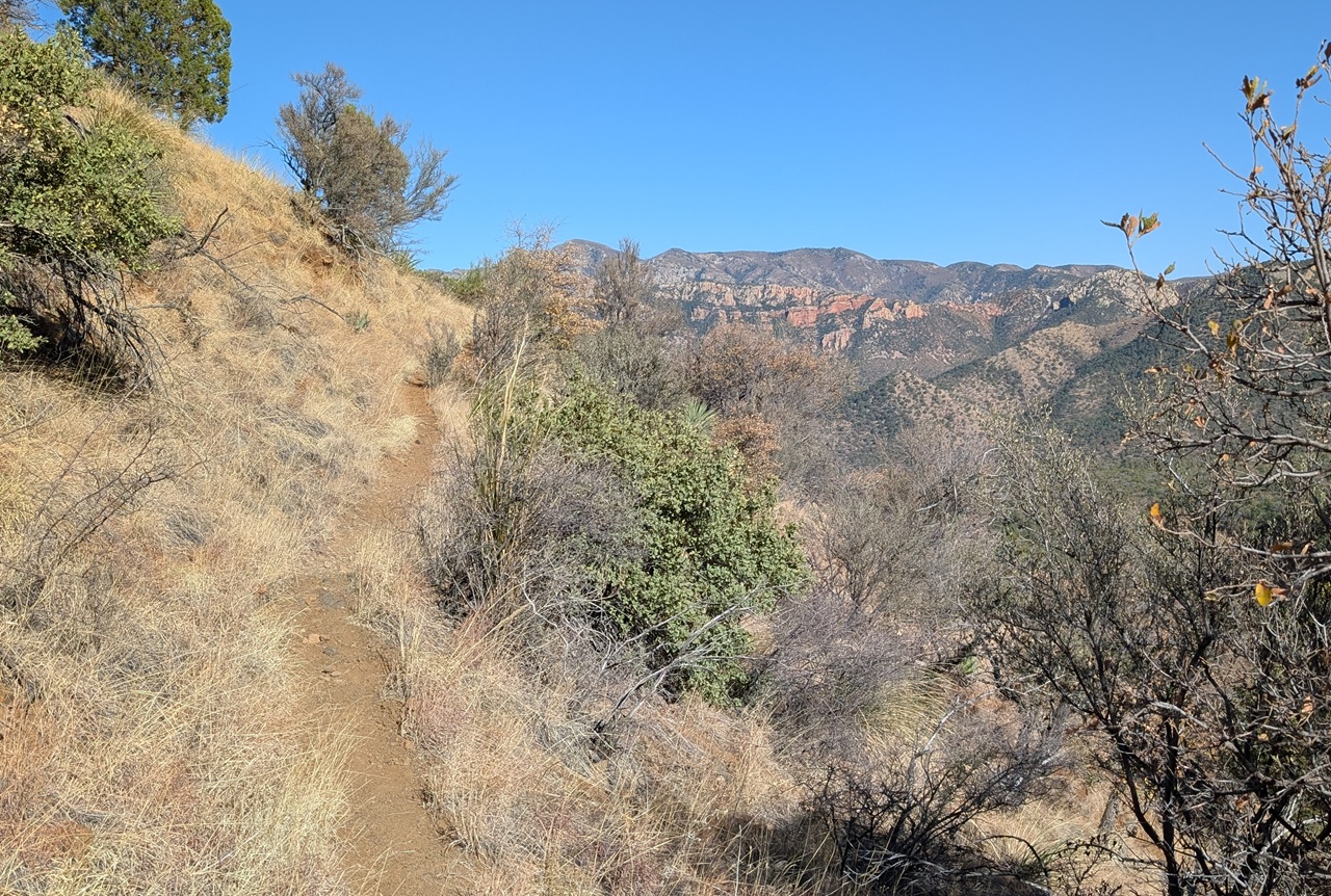
Basin Trail traverses along the mountain side with great views straight down Cave Creek Canyon
The trail was in good shape with rolling terrain
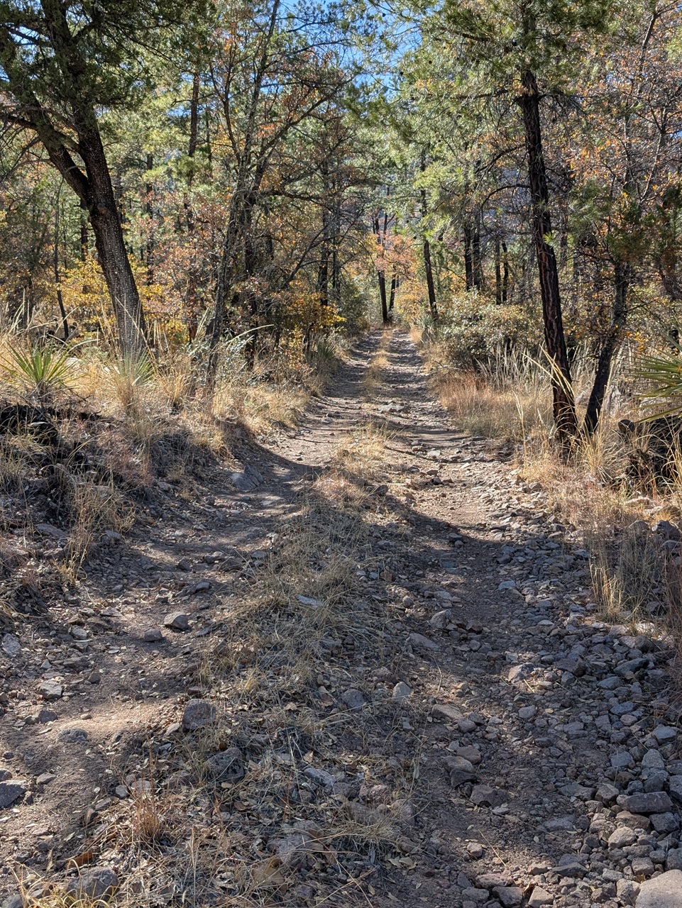
Then a short stretch climbing Greenhouse Canyon Rd. It was more work, but mostly in the shade
After 3/4 mile I picked up another section of Basin Trail which would take me back to FR 42 just below Ambush Saddle. The first mile of Basin was nice, contouring along the slope. Then a steepish climb up about 400ft vert before the trail drops back down. A short section before that climb up was kind of sketchy with damaged tread and a steep dropoff to the right. I walked these spots.
Then climb was a tough one. Just steep enough to force me and tired legs off to push most of the way. There were some ruts and loose rock.
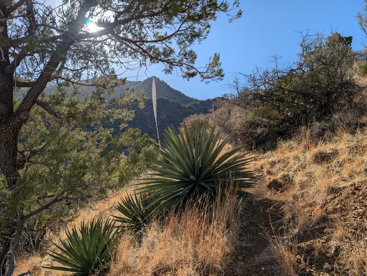
And yucca invading the trail corridor. Otherwise brush wasn't really an issue. But I'd say this trail would be easier to ride the opposite direction. The climb is same size either way but tread would be more rideable heading south.
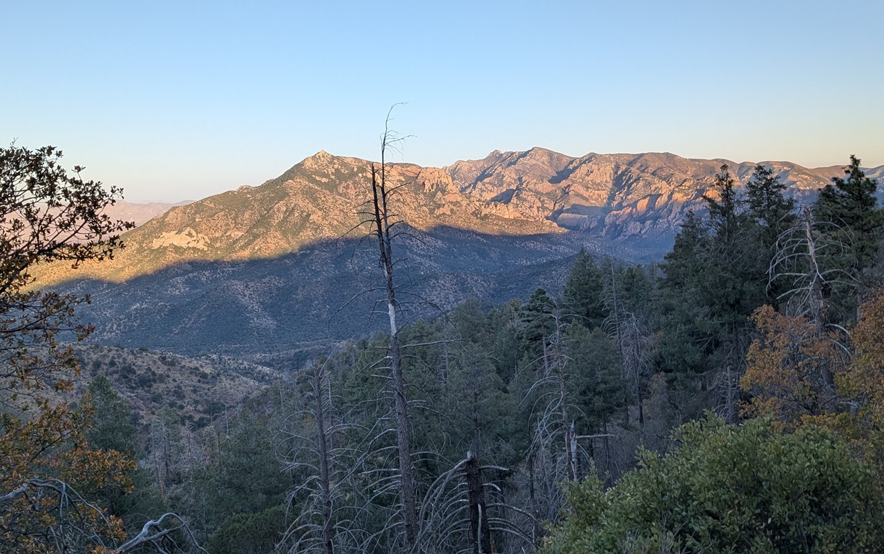
It was getting on towards sunset and I had a decision to make. My planned route was to climb up to Rustler Park and check out some trails there before dropping back down and checking out either Pine Canyon or the Shaw Peak and Pinery Canyon trails. On the other hand I could also bomb back down to the truck where beers and better food awaited, and do those other trails as a day ride. Since I had no recent beta on anything at Rustler Park or the other trails I opted to head straight to camp rather than end up in another bushwack situation with a loaded bike.
I still had to climb up to Onion Saddle though. And Trailforks was glitching. The map showed a few miles to get to Onion Saddle but TF was saying I was already at the high point. I knew that wasn't right. There should still be 1200ft to go. Not a big deal and the climb was soon done with.
I got up to Onion Saddle right at sunset. With 7.5 miles of descent remaining I dropped down determined to get back to the truck without using my lights. Made it, barely!
Stats for day 3 - 48.5mi, +4,400/-3,500ft
While I wouldn't recommend the Pridham to Rak shortcut this was otherwise a pretty decent route. There was more pavement and graded dirt road than I'd like but those were pretty easy with the tail wind I had, and the scenery is great everywhere here. Remove the singletrack sections and you have a 105 mile gravel route using all of FR42 and Rucker/Tex Canyon Road plus the pavement stretches that is doable in one big day or as an over nighter. I've seen a number of trip reports of people riding that exact loop. I liked the stretch I did on FR 721 but not sure I'd do it or Devil's Canyon again given all the pavement needed to make it a loop. Honestly I think the ticket for a proper mountain bike bikepacking loop is a shorter loop focused around Cave Creek canyon. I had a couple more days to do some scouting on that. So...more to come! Plus I'll add reports for the Lemmon drop and other rides I did. That'll have to wait until next week though.


